 Block
Crawleyville, Indiana
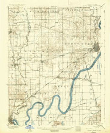
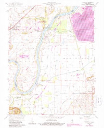
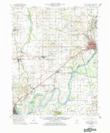
19 topographic sheets cover this place, the earliest surveyed in 1903 and the latest in 1986. It stands in Wabash Township. It lies in ZIP code area 47665. The Survey maps it on the Keensburg quadrangle. It stands 321 feet above sea level.
Topographic sheets covering this place
8 surveys from 19 printed sheetsMatched by testing this settlement's coordinate against the published boundary of every sheet in the United States Geological Survey's historical collection. Each opens the scanned sheet at the Survey.
- 1903 USGS Patoka quadrangle1:125000, 2 printings
- 1904 USGS Mount Carmel quadrangle1:62500, 3 printings
- 1956 USGS Vincennes quadrangle1:250000, 4 printings
- 1957 USGS Vincennes quadrangle1:250000
- 1958 USGS Vincennes quadrangle1:250000, 2 printings
- 1959 USGS Keensburg quadrangle1:24000, 3 printings
- 1959 USGS Mount Carmel quadrangle1:62500, 2 printings
- 1986 USGS Princeton quadrangle1:100000, 2 printings





In the county-history sources
10,322 words on this townshipHistory of Gibson County Indiana, published 1884 has no passage naming this settlement, which was common for smaller places. Its township is covered in full.
The chapter on Wabash Township covers the township.
Read the chapter on Wabash Township - 10,322 words.
Fires near this place
1 since 2010Regional context, not property-specific evidence. The federal wildfire occurrence database lists 1 fire within 5 miles of Crawleyville in 2010, burning about 43 acres in total. None started naturally. None was recorded as arson. Distance is straight-line from the map coordinates, so a fire counted here may appear on a neighbouring settlement's page as well.
| Reported cause | Fires |
|---|---|
| Debris and open burning | 1 |
The most recent of them, most recent first, with the day each was reported and the service that recorded it.
| Date | Cause | Size | Reported by | Name on the report |
|---|---|---|---|---|
| 17 March 2010 | Debris and open burning | 43 acres | Patoka River National Wildlife Refuge | CANE RIDGE |
Settlements close enough to share some of these fires:
Mines and quarries near this place
2 within 5 milesRegional context, not property-specific evidence. The federal mineral resources record lists 2 workings within 5 miles of Crawleyville: 2 producers. All of them still produce. What was taken out: Sand and Gravel, Construction. Distance is straight-line from the map coordinates, so a quarry counted here may appear on a neighbouring settlement's page as well.
| Where | Site | Commodity | Status | Recorded |
|---|---|---|---|---|
| Gibson County Plant | Sand and Gravel, Construction | Producer | ||
| Jack Hocking Sand Co. | Sand and Gravel, Construction | Producer |
Storms near this place
7 since 2004Regional context, not property-specific evidence. The National Weather Service names Crawleyville in 7 storm reports between 2004 and 2024: 4 tornado, 2 flood, 1 thunderstorm wind. The reports record 1 injury. Each account below is quoted exactly as the forecast office filed it, from the NOAA Storm Events Database, and each date opens the federal record of that event.
| When | Event | Place named | Harm | What the report says |
|---|---|---|---|---|
| February 2017 | Tornado (EF3) | Crawleyville | 1 hurt, $3,200,000 | This long-track tornado crossed from Posey County into Gibson County just northwest of Poseyville. The tornado crossed U.S. Highway 41 just north of Fort Branch and just south of the Toyota manufacturing plant. The path later crossed Interstate 69 before ending just south of Oakland City. The tornado was rated EF-3 at a couple of points south and southwest of Owensville, where a couple of houses lost their roofs and most of their exterior walls. This was where the highest winds along the 44-mile path occurred, likely around 150 mph. One person was seriously injured, requiring hospitalization. Cars were tossed 15 yards, and two double-wide mobile homes were destroyed, with their frames blown 50 to 75 yards. Further east, from the Fort Branch area to south of Oakland City, roofs were blown off a few homes and barns were destroyed. Grain bins were destroyed, and trees were snapped. The total number of damaged or destroyed structures in Gibson County was about 106, including some homes. |
| May 2024 | Tornado (EF1) | Crawleyville | $350,000 | An EF-1 tornado, which began south of Grayville, IL, crossed over the Wabash River through part of Gibson County and Wabash County, before re-entering Gibson County. The tornado tracked eastward through Fort Branch, Indiana. A roof was removed from a business near there and billboards were destroyed. Several fields suffered crop damage as well. Hundreds of trees were downed along this path. Some of the most significant damage along the path then occurred between Ft. Branch and Somerville near E Lake Charles Dr and S 175 E, where a garage was destroyed along with roof and siding damage to several homes. Several hardwood trees were snapped and twisted at trunk level. Additional significant damage occurred to several farm buildings on S 550 E with one collapsing. The tornado then ended as it crossed Somerville. Estimated peak winds for the Gibson County segment, and the tornado as a whole, were 110 mph. We greatly appreciate the assistance of Shawn Weber who provided both drone and ground survey assistance with this long track tornado. |
| May 2011 | Flood | Crawleyville | $200,000 | Record flooding occurred on the Wabash River. At the Mount Carmel, Illinois river gage, the river crested at 34.02 feet on May 3. The old record that was set in the January, 2005 flood was broken by less than an inch. Extensive flooding of farmland occurred near the Wabash River, especially near the confluence with the flooded White River. A number of lowland residents were evacuated. Many roadways were closed. |
| January 2008 | Tornado (EF2) | Crawleyville | $50,000 | The tornado entered southern Gibson County from northern Posey County. Damage consisted mostly of downed trees and a few damaged barns and sheds. Peak winds were estimated near 120 mph. The average path width was about 80 yards. |
| May 2024 | Tornado (EF0) | Crawleyville | $1,000 | An EF-1 tornado (peak of EF-0 in this portion of Gibson County), which began in far northeastern White County south of Grayville, crossed into the Kingdom Island portion of Gibson County. The tornado produced minor tree damage before crossing into far southern Wabash County, IL. Peak estimated winds with this short Gibson County segment were 75 mph. |
| May 2004 | Thunderstorm Wind | Crawleyville | $1,000 | Numerous large tree limbs were blown down at a camp in the Wabash River bottomlands. There was minor damage to a trailer. |
| January 2022 | Flood | Crawleyville | - | no account filed |
Nearest settlements
The eight closest, with where each one stands in the county. Distances are straight-line, computed from the Geographic Names Information System coordinates.
| Map | Place | Distance | Sheets |
|---|---|---|---|
| Jimtown | 1.3 miles | 19 | |
| Hickory Ridge | 1.8 miles | 19 | |
| Egg Harbor | 4.4 miles | 21 | |
| Johnson | 4.7 miles | 23 | |
| Skelton | 4.9 miles | 19 | |
| Mounts | 7.7 miles | 17 | |
| Owensville | 7.8 miles | 23 | |
| White River | 8.8 miles | 20 |
Elsewhere
Matched on this settlement's Geographic Names Information System number rather than its name, so it cannot be a different place of the same name in another state.
| Wikipedia article on Crawleyville | An encyclopaedic summary. Its text is share-alike, so it is linked here rather than copied. |
| Wikidata item Q5182990 | The structured record the population and elevation above come from. Public domain (CC0). |
Provenance
This settlement is recorded in the Geographic Names Information System as feature 433104. The sheet list is computed by point-in-boundary test against the United States Geological Survey's historical topographic inventory. Both are works of the United States government and carry no copyright under 17 U.S.C. 105.
Wildfire. Short, Karen C. 2022. Spatial wildfire occurrence data for the United States, 1992-2020 [FPA_FOD_20221014]. 6th Edition. Fort Collins, CO: Forest Service Research Data Archive. https://doi.org/10.2737/RDS-2013-0009.6 Collected with United States Government funding and usable without additional permissions or fees.
Mines and quarries. USGS Mineral Resources Data System (MRDS) https://mrdata.usgs.gov/mrds/ A work of the United States government, no copyright under 17 U.S.C. 105.
Storms. NOAA National Centers for Environmental Information, Storm Events Database https://www.ncei.noaa.gov/stormevents/ A work of the United States government, no copyright under 17 U.S.C. 105. Narratives are quoted verbatim from the National Weather Service report and are not edited or summarised.