 Block
Owensville, Indiana
23 topographic sheets cover this place, the earliest surveyed in 1901 and the latest in 1986. It stands in Montgomery Township. It lies in ZIP code area 47665. It stands on Owen Run. The Survey maps it on the Owensville quadrangle. 1,338 people lived here at the 2020 count. It stands 509 feet above sea level.
Population over time
2 figuresOwensville grew from 1,284 to 1,338 between 2010 and 2020. These are the recorded population figures Wikidata holds for this place, reached through the Geographic Names Information System number this page is keyed on rather than by name, so they belong to this place and not to another of the same name. Most are census counts, but not all are: an early figure may be a founding or settlement estimate, and an estimate published within five years of a census is left out. The change column is computed, and is left blank where more than 20 years separate a figure from the one before it, because a gap that long is not a change between two counts.
| Year | People | Change |
|---|---|---|
| 2010 | 1,284 | |
| 2020 | 1,338 | +54 (+4%) |
Topographic sheets covering this place
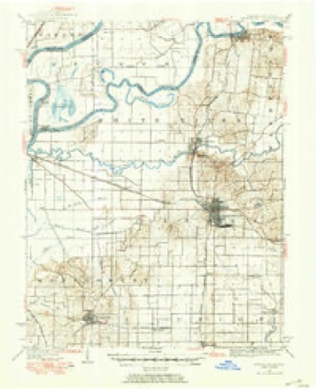
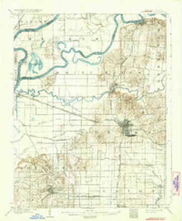
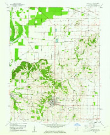
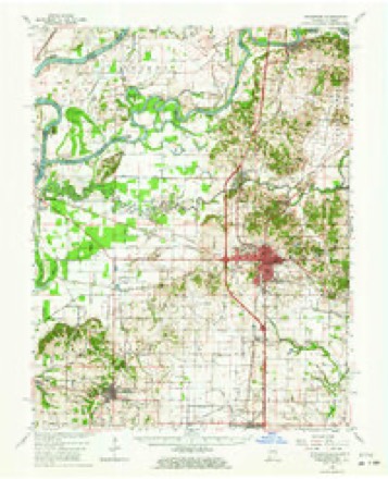
9 surveys from 23 printed sheetsMatched by testing this settlement's coordinate against the published boundary of every sheet in the United States Geological Survey's historical collection. Each opens the scanned sheet at the Survey.
- 1901 USGS Princeton quadrangle1:62500
- 1903 USGS Patoka quadrangle1:125000, 2 printings
- 1903 USGS Princeton quadrangle1:62500, 6 printings
- 1956 USGS Vincennes quadrangle1:250000, 4 printings
- 1957 USGS Vincennes quadrangle1:250000
- 1958 USGS Vincennes quadrangle1:250000, 2 printings
- 1959 USGS Owensville quadrangle1:24000, 3 printings
- 1959 USGS Princeton quadrangle1:62500, 2 printings
- 1986 USGS Princeton quadrangle1:100000, 2 printings





In the county-history sources
7,349 words on this townshipHistory of Gibson County Indiana, published 1884 names this settlement in its chapter on Montgomery Township. These are the passages that mention it, exactly as the scans read.
This township was named in honor of the Montgomery family, who were pioneers and among the most cultivated and respected people of the county. This is the largest township in Gibson County, containing 58, 522?"/100 acres. The land and improvements, including Owensville, is valued at $1,297,560. Itliesin the southwestern
Passage source: History of Gibson County Indiana, published 1884.
In 1806 Thomas Sharp, Luke and William Wilcy, settled a short distance south of Owensville. The Wileys afterward moved down into Posey County, and one of them was lost ina storm and froze to death. Thomas Sharp remained here until his death, which occurred about sixty years ago. John Sharp, aged family now living. Mathias and Smith Mounts came to this territory about the same time. Smith Mounts, located in Section 24, Tp. 3, R. 12, where he resided until He was with Gen. Wayne, in the Indian wars, and at Tippecanoe. He was a fine marksman, and spent much of his time in hunting, during the first years of his settlement here. Of his family of eleven children, Smith and Thomas A., both residents of this township, are the only ones living. Garrard Mounts was quite a prominent man in the county; was an officer of militia, and at ove time county commissioner: He died in 1882. None of Mathias' Mounts' children are living in the county.
Passage source: History of Gibson County Indiana, published 1884.
No name is more familiar to the older citizens of the county than Captain Jacob Warrick. He was a son-inlaw of Thomas Montgomery, and came with his family in 1807, locating on the northwest quarter of Section He was a man of considerable wealth, and brought with him from Kentucky quite a number of fine cattle and horses, and also slaves. He made a good improvement, and was a conspicuous and notable character among the pioneers. He had acquired the reputation of a bold and sagacious Indian fighter, in Kentucky, and when the red-skins became troublesome in 1810-'11, the citizens chose him as their leader in making preparations for their defense. At the call for militia in 1811, he organized a company of rangers, and with Gen. Harrison, participated in the battle of Tippecanoe, where he was killed, while courageously leading his men into the very thickest of the fight. His body lies buried on that famous battle-ground. His family remained in the county, and his wife married again. The old school teacher and county surveyor, Major James Smith, came with or about the same time of Captain Warrick's arrival. He was a major in the Tippecanoe campaign. He lived about two and a half miles northeast of Owensville, and died about thirty years ago. Some of his descendants are living in the state. He possessed a good education, and was a valuble man in those early times. He followed teaching and surveying for many years.
Passage source: History of Gibson County Indiana, published 1884.
Machine-read from a century-old scan, so expect the errors a machine makes: misspelled names, dropped words, stray characters.
Read the whole chapter on Montgomery Township - it names this place 22 more 22 times.
Storms near this place
37 since 2000Regional context, not property-specific evidence. The National Weather Service names Owensville in 37 storm reports between 2000 and 2023: 20 thunderstorm wind, 10 hail, 3 flood, 2 tornado. No death or injury is recorded in these reports. Each account below is quoted exactly as the forecast office filed it, from the NOAA Storm Events Database, and each date opens the federal record of that event.
| When | Event | Place named | Harm | What the report says |
|---|---|---|---|---|
| February 2011 | Tornado (EF1) | Owensville | $150,000 | Near Owensville, a mobile home was shifted off its foundation and a garage was moved about two feet and destroyed. About a half-dozen homes sustained mainly shingle damage. Numerous large trees were blown down. Further east along the damage path, a house lost about one-quarter of its roof, including plywood. In the Somerville area, a couple barns were partially unroofed, shingles were off a house and church, and over a dozen trees were snapped or uprooted. Peak winds were estimated near 105 mph. The average path width was 175 yards. |
| April 2011 | Thunderstorm Wind | Owensville | $80,000 | A home was heavily damaged near Owensville. Telephone poles were snapped and trees were down along old State Highway 65 near Princeton. |
| June 2010 | Thunderstorm Wind | Owensville | $75,000 | Widespread damage occurred throughout Princeton, where two windows were blown out of the county courthouse. Numerous trees and power lines were blown down. Between 30 and 50 trees were blown down from west of Owensville to Princeton. The damage was more in pockets than continual. At a radio station on U.S. Highway 41 at State Route 64 on the west side of Princeton, a wind gust to 60 mph was measured as the power went out. Wind gusts were estimated near 70 mph after the power went out in Princeton. A trained spotter in the west part of Fort Branch measured a wind gust to 60 mph. |
| July 2010 | Thunderstorm Wind | Owensville | $25,000 | Ten trees were blown down. Roads were blocked. |
| April 2009 | Thunderstorm Wind | Owensville | $20,000 | Trees and power lines were down across roads. |
| June 2021 | Thunderstorm Wind | Owensville | $15,000 | Buildings on Main Street were damaged, with some bricks from buildings in the road. Trees were down around town. |
| July 2017 | Thunderstorm Wind | Owensville | $15,000 | Multiple trees and limbs were down. This damage was caused by the same storm that was associated with damaging winds in parts of the Wabash Valley in southern Illinois. |
| April 2016 | Thunderstorm Wind | Owensville | $15,000 | A large tree fell on a power line. The tree also blocked County Road 550 South. In addition, the tree caused a gas leak, forcing the evacuation of residents in the area. |
| November 2005 | Thunderstorm Wind | Owensville | $14,000 | A mobile home was overturned, and three mobile homes sustained roof damage. An investigation of the damage by a National Weather Service employee indicated a microburst caused the damage. The damage area was about 100 yards long by 50 yards wide. Peak winds were estimated near 80 MPH. |
| May 2016 | Thunderstorm Wind | Owensville | $10,000 | Four large trees were blown down on a residential street. A trained spotter reported debris was flying through the air. A barn roof was blown off. Some large tree limbs were blown down. |
| June 2009 | Thunderstorm Wind | Owensville | $10,000 | Three trees were blown down in the Owensville area. One tree fell onto a house. |
| November 2000 | Thunderstorm Wind | Owensville | $10,000 | A three-sided storage building was blown against a house. Emergency management reported trees down. |
| June 2010 | Thunderstorm Wind | Owensville | $9,000 | A few trees were blown down around Owensville and near Haubstadt. A large healthy tree was uprooted near County Road 450 South in southwest Gibson County. The tree completely blocked the road and took down power lines, knocking out power for 8 to 10 hours. |
| February 2018 | Thunderstorm Wind | Owensville | $7,000 | Numerous small trees and limbs were blown down in town. A trained spotter estimated winds gusted to at least 60 mph. |
| July 2016 | Thunderstorm Wind | Owensville | $6,000 | A tree was blocking Indiana Route 65 between Cynthiana and Owensville. Large limbs were down in Owensville. |
| June 2007 | Thunderstorm Wind | Owensville | $6,000 | Trees and power lines were downed. |
| July 2008 | Lightning | Owensville | $5,000 | Lightning struck an oil field tank battery, causing a fire. |
| July 2005 | Thunderstorm Wind | Owensville | $4,000 | The county highway department reported trees were blown down in the Owensville area, including some that landed on power lines. |
| March 2019 | Thunderstorm Wind | Owensville | $2,000 | Several large tree limbs were blown down. |
| July 2019 | Flood | Owensville | - | Minor street flooding was reported in Owensville. |
| April 2017 | Flood | Owensville | - | A trained spotter reported three to four inches of water covering a street intersection in town. |
| May 2016 | Flood | Owensville | - | A trained spotter reported a few streets were underwater in Owensville, following three inches of rain during a severe thunderstorm. |
| June 2014 | Heavy Rain | Owensville | - | Water was flowing across several streets. Approximately 3.25 inches of rain fell in two separate rain bands over a four-hour period. |
| March 2006 | Thunderstorm Wind | Owensville | - | A couple of trees were blown down. |
| May 2006 | Tornado (F0) | Owensville | - | This was the third and final touchdown in the series that began in White County, Illinois. Small tree limbs were blown down, along with an isolated large limb or two. The damage path through open farmland was not continuous. The parent supercell thunderstorm continued to the northeast, producing a funnel cloud near Fort Branch. |
| August 2004 | Thunderstorm Wind | Owensville | - | Trees were blown down. |
| June 2023 | Hail | Owensville | - | no account filed |
| March 2022 | Hail | Owensville | - | no account filed |
| June 2021 | Hail | Owensville | - | no account filed |
| April 2017 | Hail | Owensville | - | no account filed |
| April 2016 | Hail | Owensville | - | no account filed |
| May 2016 | Hail | Owensville | - | no account filed |
| May 2012 | Hail | Owensville | - | no account filed |
| February 2011 | Hail | Owensville | - | no account filed |
| June 2011 | Hail | Owensville | - | no account filed |
| May 2004 | Thunderstorm Wind | Owensville | - | no account filed |
| July 2003 | Hail | Owensville | - | no account filed |
Nearest settlements
The eight closest, with where each one stands in the county. Distances are straight-line, computed from the Geographic Names Information System coordinates.
| Map | Place | Distance | Sheets |
|---|---|---|---|
| Mounts | 3.0 miles | 17 | |
| Johnson | 3.1 miles | 23 | |
| McGary | 3.2 miles | 23 | |
| Durham | 5.7 miles | 24 | |
| Fort Branch | 5.8 miles | 24 | |
| Egg Harbor | 6.2 miles | 21 | |
| King | 6.3 miles | 24 | |
| Skelton | 6.9 miles | 19 |
Elsewhere
Matched on this settlement's Geographic Names Information System number rather than its name, so it cannot be a different place of the same name in another state.
| Wikipedia article on Owensville | An encyclopaedic summary. Its text is share-alike, so it is linked here rather than copied. |
| Wikidata item Q2104984 | The structured record the population and elevation above come from. Public domain (CC0). |
Provenance
This settlement is recorded in the Geographic Names Information System as feature 440801. The sheet list is computed by point-in-boundary test against the United States Geological Survey's historical topographic inventory. Both are works of the United States government and carry no copyright under 17 U.S.C. 105.
Storms. NOAA National Centers for Environmental Information, Storm Events Database https://www.ncei.noaa.gov/stormevents/ A work of the United States government, no copyright under 17 U.S.C. 105. Narratives are quoted verbatim from the National Weather Service report and are not edited or summarised.