 Block
York, Indiana
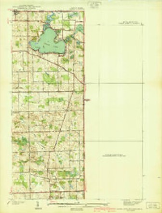
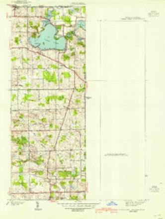
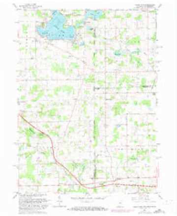
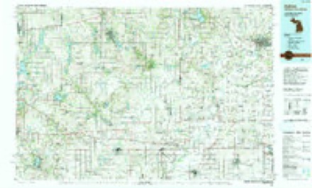
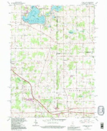
16 topographic sheets cover this place, the earliest surveyed in 1939 and the latest in 1992. It stands in York Township. It lies in ZIP code area 46737. The Survey maps it on the Clear Lake quadrangle.
Topographic sheets covering this place
8 surveys from 16 printed sheetsMatched by testing this settlement's coordinate against the published boundary of every sheet in the United States Geological Survey's historical collection. Each opens the scanned sheet at the Survey.
- 1939 USGS Clear Lake quadrangle1:24000, 2 printings
- 1940 USGS Clear Lake quadrangle1:24000, 2 printings
- 1953 USGS Fort Wayne quadrangle1:250000, 4 printings
- 1956 USGS Fort Wayne quadrangle1:250000, 2 printings
- 1961 USGS Clear Lake quadrangle1:24000, 3 printings
- 1985 USGS Adrian quadrangle1:100000
- 1990 USGS Adrian quadrangle1:100000
- 1992 USGS Clear Lake quadrangle1:24000


In the county-history sources
15,226 words on this townshipHistory of Steuben County, Indiana, Together with... Biographies of Representative Citizens, published 1885 names this settlement in its chapter on York Township. These are the passages that mention it, exactly as the scans read.
York Township is situated in the eastern tier, on the Ohio line, and is bounded as follows : On the north by Fremont and Clear Lake townships; on the east by Williams County, Ohio; on the south by Richland and Otsego townships, and on the west by Scott. When first erected by the Board of Commissioners in November, 1837, the civil township was made to include congressional township 37 north, ranges 14 and 15 east. The following year two tiers of sections were taken from the west side and attached to Pleasant Township. In March, 1849, the township was divided, fractional township 37, range 15 retaining the original name. In March, 1850, a strip one mile in width was taken from Scott Township and added to York, making the township six miles in length by nearly three and three-fourths in width. The area is therefore about twenty -two square miles, or 14,500 acres.
Passage source: History of Steuben County, Indiana, Together with... Biographies of Representative Citizens, published 1885.
The first entry of land was made by Kichard Peters, May 12, 1836, being all of fractional section 4. During the same month Koyal B. Hix, George W. Johnson, Martin Eldridge and several other persons located lands in the township. The first white settler was Fayette Barron, who built his cabin on the site of the present village of Metz, in the summer of 1836. In 1837 Clark and Calvin Powers, who had visited the county the previous vear and located land, arrived, also Stephen A. and Winn Powers, Augustus Wood worth and Jackson Cory. From that time to 1840 there came Jeremiah Dillingham and his sons, John Larue, Adam Dygert, Cowee Barns, Griswold and Alvah Phelps, Charles F. Hodges, George Jenks, who was a half brother of the Powers, Royal Hix, George W. Johnson, David K. Jones, John Croy and others. These pioneers and a large portion of those who followed in after years were from the State of New York.
Passage source: History of Steuben County, Indiana, Together with... Biographies of Representative Citizens, published 1885.
Thomas Parsons (deceased), was born near Harrisburg, Pa. in April, 1823. In early life he emigrated with his parents to Crawford County, Ohio, and settled near Leesville, where he was married Sept. 16, 1845, to Xancy M. Mc Claskey, who died Aug. 7, 1876. In October, 1845, he emigrated to Lagrange, Ind., where he resided about two years. He then removed to York Township Steuben County, which was his home the remainder of his life. He died at Angola, July 9, 1880, aged fifty-seven years and three months. During the latter part of his life he sufiered much from a nervous affiiction which many times caused mental aberration, and WHS the cause of much anxiety to his friends and neighbors.
Passage source: History of Steuben County, Indiana, Together with... Biographies of Representative Citizens, published 1885.
Machine-read from a century-old scan, so expect the errors a machine makes: misspelled names, dropped words, stray characters.
Read the whole chapter on York Township - it names this place 41 more 41 times.
Fires near this place
2 since 2018Regional context, not property-specific evidence. The federal wildfire occurrence database lists 2 fires within 5 miles of York between 2018 and 2019, burning about 2 acres in total. None started naturally. None was recorded as arson. Distance is straight-line from the map coordinates, so a fire counted here may appear on a neighbouring settlement's page as well.
| Reported cause | Fires |
|---|---|
| Missing data/not specified/undetermined | 1 |
| Equipment and vehicle use | 1 |
The most recent of them, most recent first, with the day each was reported and the service that recorded it.
| Date | Cause | Size | Reported by | Name on the report |
|---|---|---|---|---|
| 14 May 2019 | Missing data/not specified/undetermined | 1.0 acres | Michigan Department of Natural Resources | CAMDEN FIRE/RESCUE 0201927 - 2019 |
| 18 December 2018 | Equipment and vehicle use | 1.0 acres | Michigan Department of Natural Resources | CAMDEN FIRE/RESCUE 0201905 - 2018 |
Settlements close enough to share some of these fires:
Storms near this place
2 since 2020Regional context, not property-specific evidence. The National Weather Service names York in 2 storm reports between 2020 and 2023: 2 thunderstorm wind. No death or injury is recorded in these reports. Each account below is quoted exactly as the forecast office filed it, from the NOAA Storm Events Database, and each date opens the federal record of that event.
| When | Event | Place named | Harm | What the report says |
|---|---|---|---|---|
| June 2023 | Thunderstorm Wind | York | $7,500 | A barn roof was damaged with debris deposited onto the roadway. |
| August 2020 | Thunderstorm Wind | York | - | Emergency management officials reported a tree limb down onto a power line. |
Nearest settlements
The eight closest, with where each one stands in the county. Distances are straight-line, computed from the Geographic Names Information System coordinates.
| Map | Place | Distance | Sheets |
|---|---|---|---|
| Page | 2.0 miles | 16 | |
| Eastpoint Terminal | 2.3 miles | 16 | |
| Clear Lake | 3.4 miles | 16 | |
| Courtney Corner | 4.2 miles | 16 | |
| Berlien | 4.6 miles | 15 | |
| Metz | 5.1 miles | 14 | |
| Ellis | 6.2 miles | 15 | |
| Fremont | 6.5 miles | 15 |
Provenance
This settlement is recorded in the Geographic Names Information System as feature 449750. The sheet list is computed by point-in-boundary test against the United States Geological Survey's historical topographic inventory. Both are works of the United States government and carry no copyright under 17 U.S.C. 105.
Wildfire. Short, Karen C. 2022. Spatial wildfire occurrence data for the United States, 1992-2020 [FPA_FOD_20221014]. 6th Edition. Fort Collins, CO: Forest Service Research Data Archive. https://doi.org/10.2737/RDS-2013-0009.6 Collected with United States Government funding and usable without additional permissions or fees.
Storms. NOAA National Centers for Environmental Information, Storm Events Database https://www.ncei.noaa.gov/stormevents/ A work of the United States government, no copyright under 17 U.S.C. 105. Narratives are quoted verbatim from the National Weather Service report and are not edited or summarised.