BlockBefore
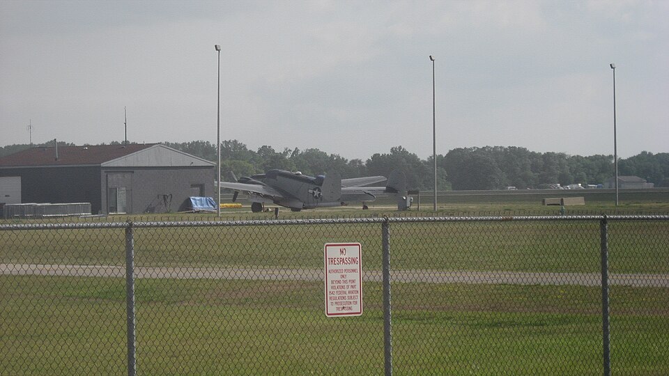
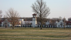
Photograph of Lockheed PV-2 Harpoon No. 37396
Photograph by Nyttend, Public domain. Via Wikimedia Commons.

Lockheed PV-2 Harpoon No. 37396

Listed on the National Register of Historic Places in 2009.

From the record

“Navy Bureau Number 37396 , civil registration N7265C, named "Hot Stuff", is located at 3867 N. The aircraft, an intact example of a World War II anti-submarine patrol bomber, was added to the National Register of Historic Places on April 23, 2009.”

Wikipedia article Lockheed PV-2 Harpoon No. 37396, CC BY-SA 4.0.

One of 13 National Register listings published here for Hancock County · listed in 2009 · category: Structure.

Sources: the Wikipedia article · the case file at the National Archives · the National Register database, National Park Service
The listing

  • What is counted as historic. The nomination lists 1 structure as contributing to the listing.
  • Address. 3867 N. Aviation Way, Mount Comfort, 46140
  • When was it listed? April 2009
  • Category. structure
  • Township. Buck Creek township
  • National Register reference number. 09000234 - the number the National Park Service assigned this property when it was listed, and the key its nomination file is catalogued under at the National Archives.

The ground it stands on

8,036 words

This property stands in Buck Creek Township. History of Hancock County, Indiana; Its People, Industries and Institutions, published 1916 gives that township a chapter of its own.

The chapter covers the township.

Machine-read from a century-old scan, so expect the errors a machine makes: misspelled names, dropped words, stray characters.

Read the whole chapter on Buck Creek Township - 8,036 words on its settlement, mills, schools and churches.

Map coverage status

No historic map-sheet match is published for this property yet. That does not mean no map exists. This record needs a coordinate-quality review before it can be joined to a sheet boundary. Browse the county's mapped places while that work is pending.

Listed places nearby

6 within 8 miles

Other National Register properties close enough to walk or drive between, ordered by distance from this one. Both positions come from the same geocoding pass that matched these properties to their map sheets.

Photograph PropertyDistance Listed
Rufus and Amanda Black House5.5 miles2014
Fortville Carnegie Library7.0 miles2024
Fortville Methodist Episcopal Church7.0 miles2024
Lilly Biological Laboratories7.0 miles1977
Browne-Rafert House7.2 miles2015
Lincoln Park School7.7 miles2009

Sources for this property

National Archives recordThe nomination case file for reference 09000234 in Record Group 79.
Wikipedia articleCommunity-written account of this property, licensed CC BY-SA.
Hancock CountyAll 13 listed properties in this county.

Provenance

  • Listing record. National Park Service National Register of Historic Places, listed-properties dataset, current to 2026-05-22.
  • Map join. Address geocoded through the United States Census geocoder, then tested against the published boundary of every sheet in the USGS Historical Topographic Map Collection.
  • How this page is made. Listing fields come from federal records; map-sheet coverage is a labelled coordinate-to-boundary calculation, not a source-field claim.