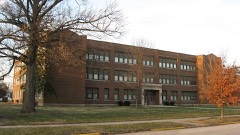
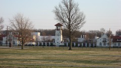
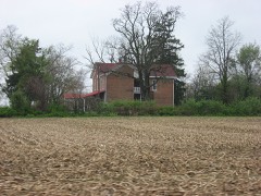
Listed on the National Register of Historic Places in 2011.
From the record
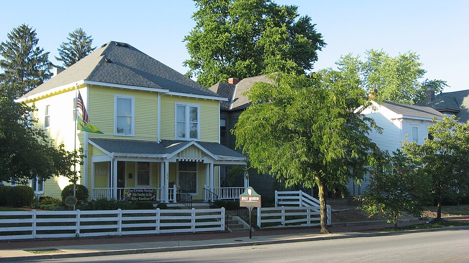
“Greenfield Residential Historic District is a national historic district located at Greenfield, Indiana. The district encompasses 523 contributing buildings, one contributing site, and 15 contributing structures in a predominantly residential section of Greenfield.”
Wikipedia article Greenfield Residential Historic District, CC BY-SA 4.0.
One of 13 National Register listings published here for Hancock County · listed in 2011 · category: District.
National Register reference number.11000909- the number the National Park Service assigned this property when it was listed, and the key its nomination file is catalogued under at the National Archives.
Greenfield Lodge, No. 135, I. O. O. F. was instituted July 26, 1853. The lodge was organized in the old courthouse ; afterwards removed to the third story of the Walker block ; from there to the county seminary, where, for several years, the lodge prospered ; but preferring a more central location, the trustees sold the seminary and took a lease on a new hall in Howard's block. In the course of time the increase of membership, added to the desire on the part of many to have a hall of their own, caused the lodge to instruct their trustees to contract with William C. Burdett for a third story on his new brick in which to hold its meetings. Since 1876 the lodge has occupied its own spacious hall, which is conveniently arranged, neatly furnished, and affords a pleasant retreat for its large membership.
Mr. D. engaged in the stock trade at the age of eighteen with George Roberts. Their first speculation was in sheep, purchased north of Greenfield, of Harlan Reeves and others in that neighborhood, at lifty cents per head for the choice of the flock. His next trade was with Hugh Wooster, of Greenfield, of whom he purchased fifteen large, choice steers, at $15 each. When they were turned out of the large woods pasture, on the farm now owned by John T. Lineback, to drive to town, thev bounded ofl' through the woods and brush and over the logs at such a rate that Mr. D. got completelv lost, and came on to Greenfield to await results. In the course of an hour Mr. Wooster put in an appearance with the cattle, telling Dickerson that he was not worth a "continental copper" to drive stock, or he could get through the brusli fast enough to keep up with an old man like him. Mr. D. has been in the stock trade in Hancock county for thirtv-three 3'ears, and has probably bought and sold more stock than an}' other man in the county ; and we mav add, has always enjoyed the confidence and esteem of his customers and the public generally. He also filled the office of trustee of Center township for two consecutive terms, during which he took great interest in the schools, and encouraged both pupil and teacher bv frequent \isits.
Regional context, not property-specific
evidence. The
federal wildfire occurrence database
lists 1 fire within 5 miles of Greenfield Residential Historic District
in 2005, burning under an acre in total. None started naturally. None was recorded as arson.
Distance is straight-line from the map coordinates, so a fire counted
here may appear on a neighbouring settlement's page as well.
Reported cause
Fires
Debris and open burning
1
The most recent of
them, most recent first, with the day each was reported and the service
that recorded it.
Regional context, not property-specific
evidence. The federal mineral resources record lists
3 workings within 5 miles of Greenfield Residential Historic District: 2 past producers, 1 producer.
1 still produces. What was taken out: Sand and Gravel, Construction. Distance is straight-line from the
map coordinates, so a quarry counted here may appear on a neighbouring
settlement's page as well.
Regional context, not property-specific
evidence. The National Weather Service names
Greenfield, the town this property stands in, in 67 storm reports between 1995 and 2026: 35 thunderstorm wind, 22 hail, 4 lightning, 4 flash flood.
The reports record 1 injury. Each account below is quoted exactly as the forecast office
filed it, from the NOAA Storm Events Database, and each date
opens the federal record of that event.
4.23 inches of rain fell across Greenfield. Many streets were closed and traffic rerouted by Greenfield Police. A roof also collapsed on a building due to the heavy rainfall.
An estimated thunderstorm wind gust of 80 mph was observed in Greenfield. Multiple transformers were reported to have blown up and street signs were reported down.
Lightning struck the Greater Greenfield Chamber of Commerce building during a brief thunderstorm on the evening of June 27th. They experienced phone line problems along with other malfunctioning equipment.
No historic map-sheet match is published
for this property yet. That does not mean no map exists. This record needs
a coordinate-quality review before it can be joined to a sheet boundary.
Browse the county's mapped places while that work is
pending.
Listed places nearby
6 within 8 miles
Other National Register properties close
enough to walk or drive between, ordered by distance from this one. Both
positions come from the same geocoding pass that matched these properties
to their map sheets.
Listing record. National Park Service National Register of Historic Places, listed-properties dataset, current to 2026-05-22.
Map join. Address geocoded through the United States Census geocoder, then tested against the published boundary of every sheet in the USGS Historical Topographic Map Collection.
How this page is made. Listing fields come from federal records; map-sheet coverage is a labelled coordinate-to-boundary calculation, not a source-field claim.
Wildfire. Short, Karen C. 2022. Spatial wildfire occurrence data for the United States, 1992-2020 [FPA_FOD_20221014]. 6th Edition. Fort Collins, CO: Forest Service Research Data Archive. https://doi.org/10.2737/RDS-2013-0009.6 Collected with United States Government funding and usable without additional permissions or fees.
Mines and quarries. USGS Mineral Resources Data System (MRDS) https://mrdata.usgs.gov/mrds/ A work of the United States government, no copyright under 17 U.S.C. 105.
Storms. NOAA National Centers for Environmental Information, Storm Events Database https://www.ncei.noaa.gov/stormevents/ A work of the United States government, no copyright under 17 U.S.C. 105. Narratives are quoted verbatim from the National Weather Service report and are not edited or summarised.
 Block