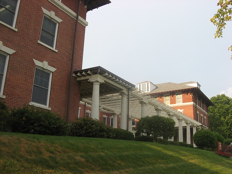
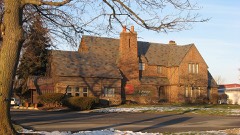
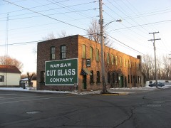
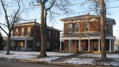
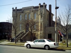
Listed on the National Register of Historic Places in 1993.
From the record
“The Winona Lake Historic District is located along the Eastern shore of Winona Lake in Kosciusko County, Indiana. Historically, it is perhaps best known as a major center within the evangelical Bible Conference Movement during the first half of the twentieth century, though these gatherings were just one part of the larger history of the town of Winona Lake, an area which has been a Chautauqua site, resort spot, and conference center.”
Wikipedia article Winona Lake Historic District, CC BY-SA 4.0.
One of 17 National Register listings published here for Kosciusko County · listed in 1993 · category: District.
National Register reference number.93001411- the number the National Park Service assigned this property when it was listed, and the key its nomination file is catalogued under at the National Archives.
Regional context, not property-specific
evidence. The federal mineral resources record lists
4 workings within 5 miles of Winona Lake Historic District: 2 producers, 2 past producers.
2 still produce. What was taken out: Sand and Gravel, Construction, Stone. Distance is straight-line from the
map coordinates, so a quarry counted here may appear on a neighbouring
settlement's page as well.
Regional context, not property-specific
evidence. The National Weather Service names
Winona Lake, the town this property stands in, in 15 storm reports between 2000 and 2025: 12 thunderstorm wind, 2 hail, 1 lightning.
No death or injury is recorded in these reports. Each account below is quoted exactly as the forecast office
filed it, from the NOAA Storm Events Database, and each date
opens the federal record of that event.
A survey of widespread damage, as well as possible tornado sightings, was performed by NWS officials. A two to three mile wide area of damage was found across the southern part of Warsaw, into much of the Village of Winona Lake. Eyewitness and video footage indicates that a funnel had formed on the leading edge of the storm just prior to the wind damage. No indications of the funnel touching down could be located. However, damage patterns and video footage indicated a downburst occurred. Winds were not fully able to reach the ground, with damage confined to numerous trees being snapped at higher levels or uprooted. Power poles and lines were also knocked down, mainly due to falling trees and tree limbs. Reports of trees falling onto several homes and cars were also received with no injuries noted. Some roof damage was observed in a few locations, including Warsaw Foundry, TTP, Inc. and Whimet, Inc. Winds were estimated between 85 and 90 mph. No specific damage figures were available, but estimates of at least $500,000 are being entered.
A off duty NWS employee reported a privacy fence was blown over, with four of the posts snapped and moved about six feet. One section was lifted over a small tree. Six tree limbs, ranging up to five inches in diameter were also blown down.
A trained spotter reported a four foot diameter tree was uprooted about a quarter mile north of County Road 300 on South Country Club Road. A four inch limb was also blown down onto power lines in the area.
Four teenagers were camping at a music festival at a local college and sought shelter under a tree, which was struck by lightning. The teeneages were indirectly injured from the strike. They ranged in age from 14 to 19. Two were admitted to a local hospital in fair conditions, with the other two being treated and released.
No historic map-sheet match is published
for this property yet. That does not mean no map exists. This record needs
a coordinate-quality review before it can be joined to a sheet boundary.
Browse the county's mapped places while that work is
pending.
Listed places nearby
6 within 8 miles
Other National Register properties close
enough to walk or drive between, ordered by distance from this one. Both
positions come from the same geocoding pass that matched these properties
to their map sheets.
Listing record. National Park Service National Register of Historic Places, listed-properties dataset, current to 2026-05-22.
Map join. Address geocoded through the United States Census geocoder, then tested against the published boundary of every sheet in the USGS Historical Topographic Map Collection.
How this page is made. Listing fields come from federal records; map-sheet coverage is a labelled coordinate-to-boundary calculation, not a source-field claim.
Mines and quarries. USGS Mineral Resources Data System (MRDS) https://mrdata.usgs.gov/mrds/ A work of the United States government, no copyright under 17 U.S.C. 105.
Storms. NOAA National Centers for Environmental Information, Storm Events Database https://www.ncei.noaa.gov/stormevents/ A work of the United States government, no copyright under 17 U.S.C. 105. Narratives are quoted verbatim from the National Weather Service report and are not edited or summarised.
 Block