 Block
Beardsley, Kansas
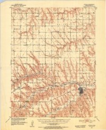
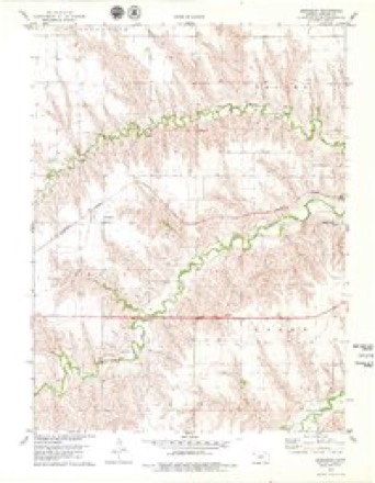
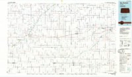
9 topographic sheets cover this place, the earliest surveyed in 1951 and the latest in 1985. It stands in Rocewood Township. It lies in ZIP code area 67730. The Survey maps it on the Beardsley quadrangle.
Topographic sheets covering this place
6 surveys from 9 printed sheetsMatched by testing this settlement's coordinate against the published boundary of every sheet in the United States Geological Survey's historical collection. Each opens the scanned sheet at the Survey.
- 1951 USGS Atwood quadrangle1:62500, 2 printings
- 1954 USGS Goodland quadrangle1:250000
- 1956 USGS Goodland quadrangle1:250000
- 1957 USGS Goodland quadrangle1:250000, 2 printings
- 1978 USGS Beardsley quadrangle1:24000
- 1985 USGS St. Francis quadrangle1:100000, 2 printings



Storms near this place
54 since 1993Regional context, not property-specific evidence. The National Weather Service names Beardsley in 54 storm reports between 1993 and 2025: 34 hail, 15 thunderstorm wind, 3 flash flood, 1 lightning. No death or injury is recorded in these reports. Each account below is quoted exactly as the forecast office filed it, from the NOAA Storm Events Database, and each date opens the federal record of that event.
| When | Event | Place named | Harm | What the report says |
|---|---|---|---|---|
| June 2021 | Hail | Beardsley | $2,000 | Report received of siding of a mobile home destroyed due to wind driven hail. Hail was estimated to be up to a penny in size. |
| July 2011 | Lightning | Beardsley | $1,000 | Lightning strike started a bale fire overnight, resulting in response of two fire departments. |
| August 2023 | Hail | Beardsley | $300 | Report received of half dollar sized hail at location that broke a windshield on a vehicle. |
| August 2025 | Thunderstorm Wind | Beardsley | - | The mesonet site named K5ADT reported 63 mph gust. |
| July 2023 | Thunderstorm Wind | Beardsley | - | KDOT mesonet station K5ADT along Highway 36 reported consistent 60 to 69 mph gusts over a duration of 20 minutes. |
| July 2023 | Thunderstorm Wind | Beardsley | - | Report received of several electric poles broken and roofs torn off of outbuildings due to thunderstorm wind gusts. Total crop loss also reported due to strong winds and wind-driven hail. Time is radar estimated and wind speed is estimated from damage indicators. |
| August 2023 | Hail | Beardsley | - | Report received of hail with sizes ranging between peas and slightly larger than quarters. Most of the hail was dime to nickel in size. |
| June 2019 | Thunderstorm Wind | Beardsley | - | Wind gust was estimated to be about 70 mph. Some accumulation of dime size hail was also reported. |
| May 2019 | Thunderstorm Wind | Beardsley | - | Estimated by spotter. |
| July 2019 | Flash Flood | Beardsley | - | Flooding of rural county roads was reported as Beaver Creek started to overflow its banks due to heavy rain. |
| August 2019 | Flash Flood | Beardsley | - | North Beaver Creek was running out of its bank. |
| August 2019 | Tornado (EFU) | Beardsley | - | A storm chaser reported a brief tornado lasting about 2 minutes approximately half a mile south of US Hwy 36 south of Beardsley, KS. |
| May 2018 | Hail | Beardsley | - | The hail was measured by a storm chaser. |
| August 2017 | Hail | Beardsley | - | The wind driven hail severely damaged a corn field near town. The size of the field was not given. |
| May 2016 | Thunderstorm Wind | Beardsley | - | Estimated duration of the report from radar data. |
| July 2015 | Flash Flood | Beardsley | - | The North Beaver creek was out of its banks. Received a total of 1.30 inches of rainfall. |
| August 2015 | Hail | Beardsley | - | Heavy rainfall is also accompanying the hail. |
| June 2014 | Hail | Beardsley | - | Hail reported 10 miles north of McDonald and 2 miles east on Road D. |
| June 2014 | Thunderstorm Wind | Beardsley | - | Strong winds lasted about 10 minutes at same location as hail report, 10 miles north of McDonald and 2 miles east on Road D. |
| June 2014 | Hail | Beardsley | - | Report relayed by the Rawlins County Dispatch. |
| May 2013 | Hail | Beardsley | - | Also measured 0.55 inches of rainfall so far. |
| August 2011 | Hail | Beardsley | - | Public also reported 2.25 inches of rain between 1415 CDT and 1630 CDT. No reports of flooding or damage were received. Hail ranged from pea to nickel size. Time of nickel hail report estimated from radar. |
| August 2011 | Thunderstorm Wind | Beardsley | - | Spotter estimated peak winds to be near 70 mph. |
| June 2011 | Hail | Beardsley | - | Observer also received 0.90 inches of rain. Report time is estimated from radar. |
| August 2007 | Hail | Beardsley | - | Estimated 50 mph wind gusts also occurred. |
| September 1995 | Thunderstorm Wind | Beardsley | - | Thunderstorm winds estimated at 60 mph broke several three to four inch diameter branches and moved a 100 pound picnic table 20 feet. pea-size hail accompanied the strong winds. |
| April 2021 | Hail | Beardsley | - | no account filed |
| June 2020 | Thunderstorm Wind | Beardsley | - | no account filed |
| August 2019 | Thunderstorm Wind | Beardsley | - | no account filed |
| June 2018 | Hail | Beardsley | - | no account filed |
| June 2018 | Thunderstorm Wind | Beardsley | - | no account filed |
| May 2018 | Hail | Beardsley | - | no account filed |
| June 2012 | Hail | Beardsley | - | no account filed |
| July 2011 | Hail | Beardsley | - | no account filed |
| August 2011 | Hail | Beardsley | - | no account filed |
| June 2011 | Hail | Beardsley | - | no account filed |
| April 2008 | Hail | Beardsley | - | no account filed |
| April 2008 | Hail | Beardsley | - | no account filed |
| April 2008 | Hail | Beardsley | - | no account filed |
| April 2008 | Hail | Beardsley | - | no account filed |
| June 2006 | Hail | Beardsley | - | no account filed |
| June 2006 | Thunderstorm Wind | Beardsley | - | no account filed |
| May 2006 | Hail | Beardsley | - | no account filed |
| May 2006 | Hail | Beardsley | - | no account filed |
| July 2003 | Hail | Beardsley | - | no account filed |
| August 2001 | Hail | Beardsley | - | no account filed |
| June 2000 | Hail | Beardsley | - | no account filed |
| July 2000 | Thunderstorm Wind | Beardsley | - | no account filed |
| May 1997 | Hail | Beardsley | - | no account filed |
| September 1997 | Hail | Beardsley | - | no account filed |
| June 1996 | Thunderstorm Wind | Beardsley | - | no account filed |
| August 1996 | Hail | Beardsley | - | no account filed |
| June 1994 | Hail | Beardsley | - | no account filed |
| May 1993 | Hail | Beardsley | - | no account filed |
Nearest settlements
The eight closest, with where each one stands in the county. Distances are straight-line, computed from the Geographic Names Information System coordinates.
Provenance
This settlement is recorded in the Geographic Names Information System as feature 484542. The sheet list is computed by point-in-boundary test against the United States Geological Survey's historical topographic inventory. Both are works of the United States government and carry no copyright under 17 U.S.C. 105.
Storms. NOAA National Centers for Environmental Information, Storm Events Database https://www.ncei.noaa.gov/stormevents/ A work of the United States government, no copyright under 17 U.S.C. 105. Narratives are quoted verbatim from the National Weather Service report and are not edited or summarised.