 Block
From the record
11 National Register listings published here.
Sources: the National Register database, National Park Service
59 topographic sheets and 12 fire insurance atlases across 2 places.
11 National Register listings published here.
Sources: the National Register database, National Park Service
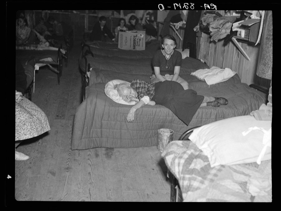
Taken for the Office of War Information and the Farm Security Administration, who photographed the country between 1935 and 1944. Works of United States government photographers, with no known restriction on use. Each opens its catalogue record.
Every property in this county listed on the National Register of Historic Places, with the year it was listed and the federal nomination document.
| Photograph | Property | Type | Listed | Reference |
|---|---|---|---|---|
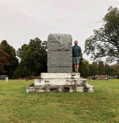 | Camp Beauregard Memorial in Water Valley | object | 1997 | 97000698 |
| Confederate Memorial Gates in Mayfield | object | 1997 | 97000696 | |
| Confederate Memorial in Mayfield | object | 1997 | 97000697 | |
 | Pete Lyles House | building | 2006 | 06001202 |
| Mayfield Downtown Commercial District | district | 1984 | 84001477 | |
| Mayfield Downtown Commercial District (Boundary Increase) | district | 1996 | 96000791 | |
| Mayfield Electric and Water Systems | building | 2011 | 11000536 | |
| Meacham Manor | building | 1974 | 74000877 | |
| St. Jerome's Catholic Church Complex | district | 2014 | 13001052 | |
 | U.S. Post Office | building | 1982 | 82001566 |
| Wooldridge Monuments | site | 1980 | 80001533 |
Selected from the Digital Public Library of America's 1 image records catalogued for this county. Every one shown here carries a public-domain status or a licence that permits reuse on a site that carries advertising; non-commercial, share-alike and restricted images are excluded. The selection is spread across the county's towns (at most eight per town), so no single institution's bulk upload crowds out the rest. Each opens the holding library's record, and the complete set at the Digital Public Library of America is one click away.

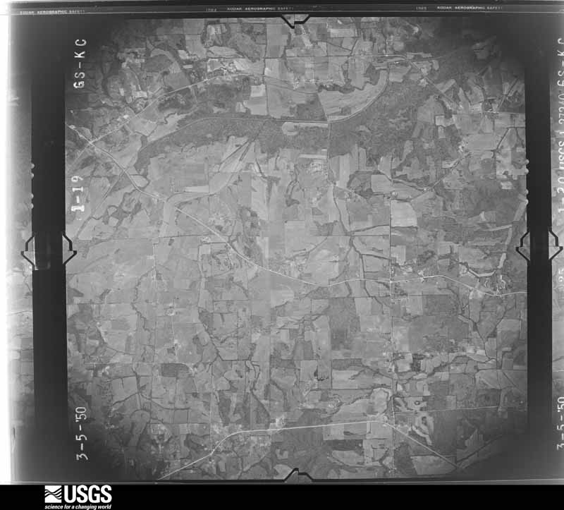
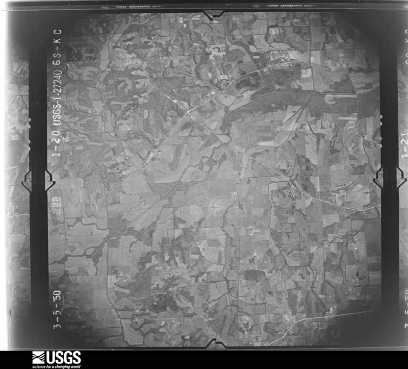
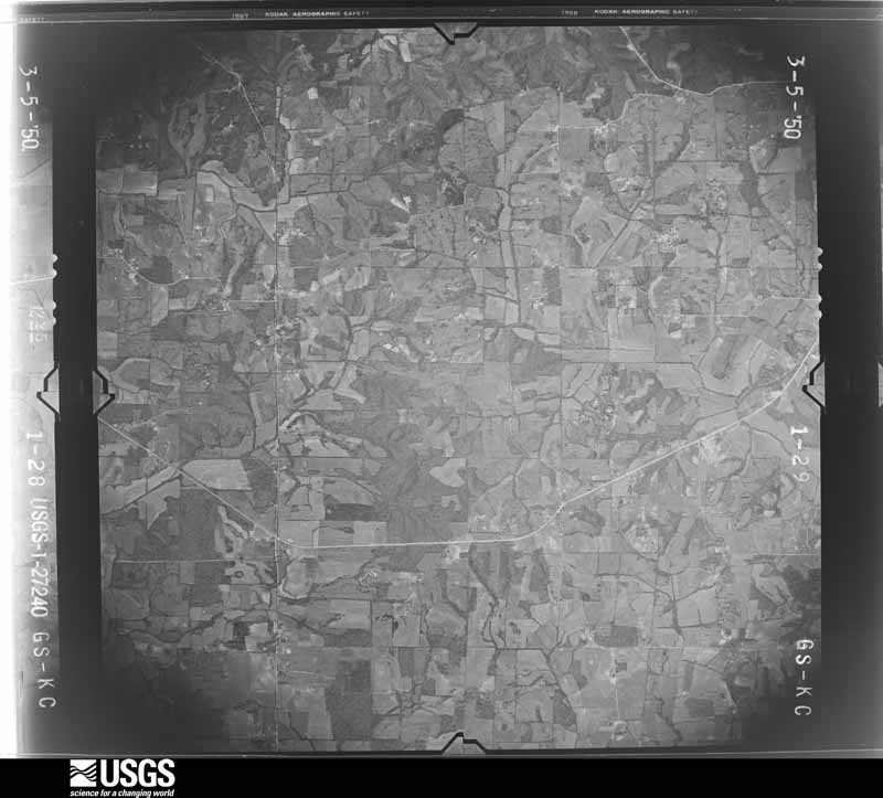
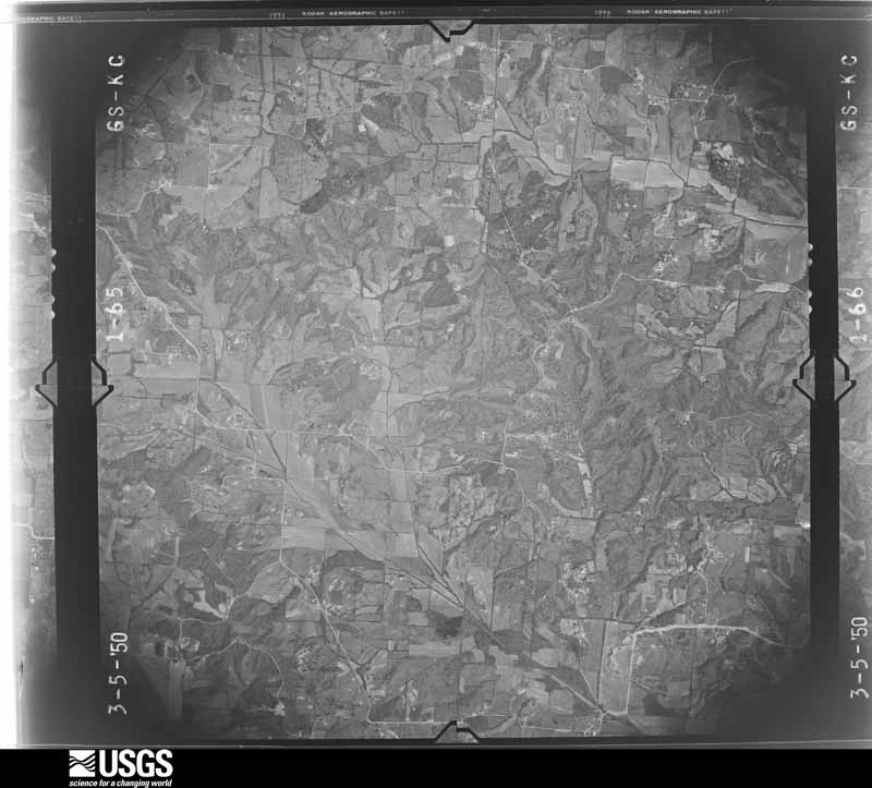
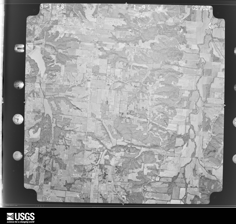
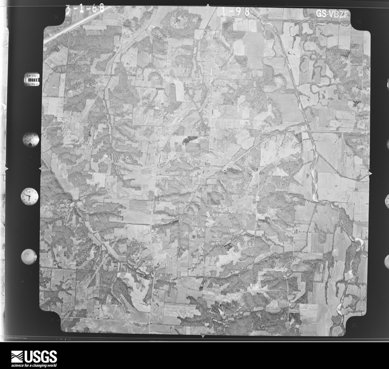
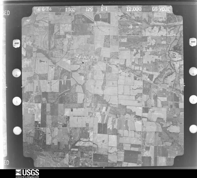
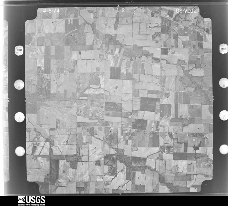
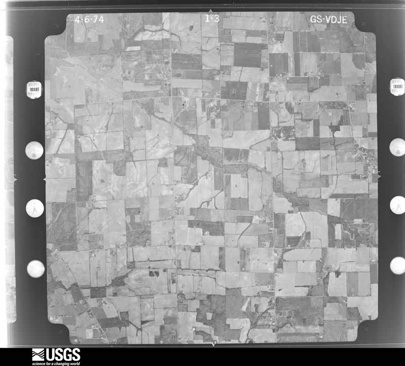
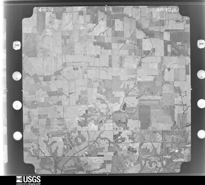
Flown by the U.S. Geological Survey between 1937 and 1989, the Aerial Photo Single Frames collection is the definitive mid-century view of the land: fields, roads and rivers as the camera saw them. The Survey holds 684 frames inside the rectangle that bounds this county; the 20 frames below were taken over the county itself, chosen across the decades of flights (at most four a year from that rectangle), so one flight cannot crowd out the rest. The full set is free to browse and download at EarthExplorer under the dataset Aerial Photo Single Frames.










The thermometers that kept this county's weather, and the gages that measured the flow of its streams, as the federal records hold them. The extremes below are measured values from those records, not estimates.
Who lived here in 1950, one enumeration district at a time, as the Census Bureau described each district. Each row opens its official National Archives result, with Population Schedules and ED Maps available there.
Every wildfire the federal occurrence database records inside this county: 192 of them, burning about 1,412 acres. 1 started naturally and 3 were recorded as arson. Each settlement page carries the fires within five miles of it.
| Reported cause | Fires |
|---|---|
| Missing data/not specified/undetermined | 91 |
| Recreation and ceremony | 62 |
| Railroad operations and maintenance | 15 |
| Debris and open burning | 12 |
| Equipment and vehicle use | 4 |
| Arson/incendiarism | 3 |
| Misuse of fire by a minor | 2 |
| Smoking | 2 |
| Natural | 1 |
The five largest, by the area the report gives. None of them was recorded as arson.
| Date | Cause | Size | Reported by | Name on the report |
|---|---|---|---|---|
| 20 August 2007 | Railroad operations and maintenance | 227 acres | Kentucky Division of Forestry | not named |
| 7 March 2007 | Recreation and ceremony | 104 acres | Kentucky Division of Forestry | not named |
| 3 February 1998 | Missing data/not specified/undetermined | 100 acres | Kentucky Division of Forestry | not named |
| 25 September 1999 | Missing data/not specified/undetermined | 75 acres | Kentucky Division of Forestry | not named |
| 20 March 2009 | Recreation and ceremony | 75 acres | Kentucky Division of Forestry | not named |
| 2 April 2002 | Recreation and ceremony | 47 acres | Kentucky Division of Forestry | not named |
| 24 September 1999 | Equipment and vehicle use | 45 acres | Kentucky Division of Forestry | not named |
| 1 November 2008 | Debris and open burning | 40 acres | Kentucky Division of Forestry | not named |
Every settlement page carries the fires within five miles of it - see the settlement index below.
The NOAA Storm Events Database holds 435 reports for this county, causing 27 deaths, 228 injuries and about $17,436,500 in recorded property damage. Each settlement page carries the reports that name it.
| Kind of event | Reports |
|---|---|
| Thunderstorm Wind | 209 |
| Hail | 96 |
| Flash Flood | 46 |
| Tornado | 38 |
| Flood | 27 |
| Heavy Rain | 10 |
| Funnel Cloud | 6 |
| Lightning | 3 |
The most serious of them, by death, then injury, then recorded damage. The accounts are quoted exactly as the forecast office filed them.
| When | Event | Place named | Harm | What the report says |
|---|---|---|---|---|
| December 2021 | Tornado (EF4) | Baltimore | 24 killed, 210 hurt | This historic EF-4 tornado was associated with a very long-track supercell that originally formed over eastern Arkansas. The supercell produced a nearly continuous tornado damage path from northeast Arkansas across western Tennessee and western Kentucky. The starting point of this particular tornado was in northwest Tennessee, northwest of Union City (see Storm Data, Tennessee, Western for information on the beginning of this tornado). This tornado crossed from Hickman County into Graves County about one-half mile north of where Highway 58 crosses the county line, close to the tiny community of Baltimore. The tornado was about 1.3 miles wide when it entered the county. It varied from 1 to 1.3 miles in width as it traversed Graves County. The primary impact to Graves County was on the city of Mayfield, where the tornado achieved a rating of EF-4. This city suffered a devastating impact, in terms of both loss of life and property destruction. There were 23 fatalities countywide and many more injuries. On the southwest edge of Mayfield as the tornado entered the city, a candle factory was demolished (DI 23, DOD 7). At least nine workers in the factory were killed. The tornado continued northeast through the heart of Mayfield at 9:28 PM CST, averaging just over one mile in width. The downtown area was directly impacted, crippling the police and fire department headquarters and emergency communications. Residential neighborhoods both southwest and northeast of downtown were destroyed. Numerous businesses in the downtown business district collapsed. Several damage sites in the city of Mayfield received a wind speed estimate of 188 mph, the highest in the county. Many of the structures were historic brick buildings (DI 17, DOD 7). At least 1,500 structures were damaged or destroyed, including a couple hundred businesses. The Red Cross estimated that 730 dwellings were uninhabitable. A large number of vehicles were thrown and destroyed, including some farm equipment in rural areas outside the city. Nearly total tree destruction was observed. The first EF-4 damage in the county was noted at and around the candle factory on the southwest side of Mayfield. Near the candle factory, a house was swept clean off the concrete slab (DI 2, DOD 10). The last EF-4 damage points in the county were on the northeast side of Mayfield, including a nursing home (DI 7, DOD 7). After entering Graves County, the tornado intersected I-69 (formerly the Purchase Parkway) four miles southwest of the Mayfield city limit. A wind gust to 93 knots or 107 mph was measured at the University of Kentucky mesonet site 6 miles southwest of Mayfield. The tornado then closely followed Interstate 69 northeast all the way to Marshall County. The tornado crossed the interstate multiple times. The first crossing was two miles southwest of Mayfield, then again northeast of Mayfield just east of the Highway 131 interchange, and again at the Marshall County line. The interstate was blocked in spots by trees, power lines, and debris. From Highway 131 to Highway 301 northeast of Mayfield, the tornado followed the exact same path as the May 10, 2016 EF-3 tornado. Some of the same structures that were damaged in that tornado were destroyed by this tornado. The tornado exited Graves County into Marshall County along Interstate 69 (formerly the Purchase Parkway) where it crosses the county line. |
| June 2016 | Thunderstorm Wind | Symsonia | 1 killed, $45,000 | A 56-year-old man was killed when a tree fell onto the cab of his truck. The truck struck a fallen tree along Highway 534, and then continued along the road until another tree fell on the truck cab and crushed it. Dozens of trees were uprooted or snapped. This vehicle fatality occurred near the beginning of a microburst damage path. The damage path width was about one mile. Peak winds in this portion of the damage path were estimated near 80 mph. The microburst continued eastward into Marshall County. |
| July 2023 | Thunderstorm Wind | Symsonia | 1 killed, $5,000 | A tree fell on a house in Symsonia, trapping a 75-year-old male. He later succumbed to his injuries. |
| February 2025 | Flood | Viola | 1 killed | Flash flooding from the 15th and early 16th transitioned to areal flooding along Mayfield Creek and the West Fork of the Clarks River near Viola and Symsonia. A man lost his life after his vehicle was washed away in flood waters on Highway 348 where it crosses the West Fork of the Clarks River northwest of Symsonia. Numerous roads, including Highway 408, remained closed into the 17th. |
| May 2016 | Tornado (EF3) | Dublin | 10 hurt, $3,500,000 | Dozens of structures were destroyed, including mobile homes, businesses, barns, and garages. Several homes received major damage or were destroyed. Many dozens of other homes and businesses received minor damage, mainly loss of shingles and fascia. Several dozen cars were damaged or destroyed. Some cars were tossed around and lofted atop other cars or structures. Thousands of trees were snapped, uprooted, or broken. The tornado was captured on video or camera by numerous individuals. The tornado appeared to have more than one vortex at several different points along its path. The tornado moved through some residential and commercial neighborhoods just outside the northern city limits of Mayfield. A car dealership on U.S. Highway 45 right near the city limit received extensive damage, including the loss of almost all 40 vehicles on the lot as well as a nearby storage building. The peak wind speed of 140 mph was assigned at this car lot. A flea market type of business on Highway 121 just outside Mayfield was destroyed by winds near 135 mph. Once the tornado reached the northern edge of Mayfield, it tracked almost parallel to the Purchase Parkway (future Interstate 69). The center of the tornado stayed about one-half mile north of the parkway, crossing Kentucky Highways 131 and 301 prior to reaching the Marshall County line. The average path width was approximately 300 yards. Peak wind speeds were estimated near 140 mph. The tornado continued into Marshall County very close to where the parkway crosses the county line. |
| January 1996 | Thunderstorm Wind | Symsonia | 2 hurt, $60,000 | no account filed |
| April 1997 | Lightning | Wingo | 2 hurt | no account filed |
| October 2012 | Tornado (EF1) | Mayfield | 1 hurt, $350,000 | Top wind speeds were estimated near 105 mph. The average path width was 130 yards. Two dozen homes and several businesses received minor damage, mainly to shingles, siding, and fascia. There was moderate damage to one business, which was partially unroofed. Windows were blown out, and cars were moved over. Numerous trees and power lines were blown down. A high school football stadium was extensively damaged. The damage path began about one-quarter mile southeast of the Highway 80 and Purchase Parkway intersection. The moderately damaged business was located near the beginning of the damage path. A man was hospitalized after a section of wind-blown roof from the damaged business blew into the room he was in. The man suffered numerous cuts and broken bones. His house was heavily damaged. A 2x4 stud was driven by the wind and became embedded in a living room interior wall. The tornado damage path ended about one-half mile northeast of the intersection of Highways 45 and 121. |
| March 1997 | Thunderstorm Wind | Mayfield | 1 hurt, $40,000 | no account filed |
| March 2023 | Thunderstorm Wind | Lynnville | 1 hurt, $10,000 | A large tree limb punched through a truck windshield and injured the driver. The driver was extricated from the truck by rescue workers and transported to a hospital. |
| April 1972 | Tornado (F1) | not stated | 1 hurt, $2,500 | no account filed |
| May 2011 | Flood | Baltimore | $3,000,000 | no account filed |
| January 2020 | Tornado (EF1) | Stubblefield | $2,000,000 | The tornado touched down at the intersection of Little Bethel Church Road and Woodson Road, traveled along and just north of Woodson Road, went across State Route 129 and ended just east of Stubblefield Road. The tornado traveled east-northeast at 60 mph for two consecutive miles. Much of the damage path width was 100 yards or less, but peaked at 235 yards wide just east of Route 129. The tornado hit a farm/out building and did damage to several trees along Woodson Road. It intensified at Route 129, and then hit a chicken farm with substantial damage to 3 of the 6 buildings. A 4th building was moderately damaged. Two buildings at each end had minor damage. Metal roofing was launched well up into trees at least 50 to 60 feet tall east of the farm buildings. Damage was estimated to be around 2 million dollars. Minor damage to a house and some trees was found at Stubblefield Road before the tornado ended. Peak winds in this tornado were estimated near 110 mph. |
| July 2023 | Flash Flood | Lowes | $2,000,000 | no account filed |
| February 2018 | Flood | Symsonia | $1,000,000 | A number of roads were flooded and closed in the river bottoms of the Clarks River and its tributaries. Water was over Kentucky Highway 131 at the Graves/McCracken County line. A secondary road was washed out at the intersection of Whitis and Watkins Road northeast of Hickory. Total road damage in Graves County was estimated over one million dollars. |
| June 2023 | Thunderstorm Wind | Wingo | $600,000 | Widespread major damage to trees and power lines was reported in a path across southern Graves County. The area from Wingo to Sedalia was in the most concentrated damage path. Trees were down across numerous roads. Power poles were snapped in the Wingo area. A garage was blown off its foundation near Wingo. A jeep was moved about 40 feet and pushed into a fence. Shingles were blown off houses. Trees landed on houses and vehicles. An empty school bus was demolished. About 1,000 utility customers were still without power the following morning, mostly in the Wingo area. |
| February 2018 | Flood | Farmington | $250,000 | Roads were covered by water in and around the Farmington community. |
| April 1998 | Tornado (F1) | Pottsville | $200,000 | A tornado caused considerable damage to residences, automobiles, and trees in an area roughly following Kentucky 408, north of Mayfield. Two vehicles were overturned. A mobile home was demolished. Several homes sustained damage to siding and roofing. An outbuilding was blown across a roadway. Large trees were blown down across Kentucky Route 945, blocking it for several hours. |
| March 2017 | Tornado (EF2) | Cuba | $170,000 | This tornado began near the community of Cuba and lifted after tracking about 1.5 miles. Peak winds were estimated near 120 mph. A single-family residence was destroyed. Much of the roof and upper portions of the house were removed. The roof was blown off a church. Several headstones in a cemetery were blown up to 30 feet. A number of barns were blown down. A machine shed was blown from its foundation. At least a dozen trees were uprooted. Dozens of others sustained broken limbs or trunks. |
| May 2021 | Tornado (EF1) | Cuba | $165,000 | Several farm buildings, including a large shop, lost parts or all of their roofs, with several smaller structures destroyed. At least a couple of homes had mainly minor damage to roofs or siding. Dozens of large trees were snapped or uprooted. The tornado travelled right along Highway 94 from southwest of Cuba to the Lynnville area. Peak winds were estimated near 95 mph. |
| July 2016 | Thunderstorm Wind | Mayfield | $150,000 | Numerous trees were blown down across northeast, east central, and central Graves County. A wind gust to 62 mph was measured at the Mayfield-Graves County airport. Power was out in some rural locations for over 24 hours. In Mayfield, the roof of an American Legion post was extensively damaged. Damage estimates were near 100,000 dollars to completely repair the roof. |
| May 2010 | Flash Flood | Pottsville | $150,000 | Flood-prone Red Duck Creek overflowed its banks in Mayfield, flooding a few streets and causing significant damage to a house. Water was in several houses in Wingo, where several people were evacuated. Low-lying areas of Pryorsburg were flooded. There were road closures countywide, most of which were county roads. U.S. Highway 45 was closed between mile markers 1 and 2 in the Water Valley area. Near Pottsville, a bridge over Wilson Creek on Kentucky 945 was damaged by high water and debris that hit the bridge piers. The road was closed for an extended time. Kentucky 1124 between mile markers zero and one was closed due to a washed out cross drain. The state police post near Mayfield measured 3.82 inches. |
| January 1999 | Thunderstorm Wind | Golo | $150,000 | East of Mayfield, thunderstorm winds destroyed a barn, blew a nearby mobile home off its foundation, and blew windows out of houses. Numerous trees and power lines were down. A tool shed was destroyed. The mobile home was moved about 4 feet off its foundation, and parts of the nearby barn that was destroyed were strewn across the highway and nearby fields. A local road was closed until an outbuilding could be removed from the road. |
| February 2018 | Tornado (EF1) | Bell City | $100,000 | This EF-1 tornado touched down about 1 mile southwest of Bell City and moved northeast across Highway 97 into Calloway County. The majority of the path and associated damage occurred in Calloway County. In the Graves County portion, a few barns were damaged or destroyed. A house sustained minor damage. Many dozens of trees, some very large, were snapped or uprooted. At least one eyewitness observed the tornado. A convergent damage pattern consisting of dozens of very large uprooted trees was visible from Kentucky Highway 97. Peak winds were estimated near 100 mph. The tornado path continued into Calloway County. |
| June 2014 | Thunderstorm Wind | Mayfield | $100,000 | A macroburst began on the southwest side of Mayfield and then proceeded east across the south side of Mayfield. Downed trees and power lines were widespread. A few homes were damaged by trees that landed on them. Some very large trees fell across roadways. The width of the macroburst was just over three miles. The damage path continued east-southeast for 26 miles through the Murray area into eastern Calloway County. |
| April 2011 | Tornado (EF1) | Dukedom | $100,000 | This tornado crossed into Graves County from Weakley County, Tennessee. The tornado initially paralleled the state line, where mainly tree damage occurred. Along Kentucky Highway 303, a home was damaged. The side porch was lifted. A gazebo and a playhouse were destroyed. A garage at the north end of the house sustained major damage. Small portions of nearby grape vines were impaled in the roof of the porch, and a stick was impaled in the house. As the tornado moved northeast, mainly tree damage occurred, with uprooted trees and large limbs down. There was some tree damage south of the path near Lynnville, which was from straight-line winds. Peak winds were estimated near 100 mph. The average path width was 75 yards. |
| May 2006 | Flash Flood | North Portion | $100,000 | Flash flooding of several roads, bridges, and a railroad track occurred as a result of torrential rain in thunderstorms. In West Viola, a church was flooded with over 6 inches of water. A boat was used to evacuate residents of two nearby mobile homes surrounded by water. At least two vacant houses also had water damage. A resident of West Viola unofficially measured 5 inches of rain during the overnight storms. |
| January 2008 | Thunderstorm Wind | Mayfield | $90,000 | Numerous trees and power lines were blown down around the county. Cleanup crews were removing downed trees through the night and the following day. In Mayfield, about a dozen trees and large tree limbs were down throughout the community. Five power poles were snapped. The roof was blown off a baseball dugout, fencing was knocked down, and bleachers were damaged. In the Sedalia area, several trees were down, blocking Highways 381 and 303. A fallen tree damaged a house and a nearby propane tank. Metal was torn off hangars at the Mayfield-Graves County Airport. At least three barns were blown across highways across the county. One person was injured when their vehicle struck a downed tree on U.S. Highway 45 just south of Wingo. The steeple of a church was toppled. |
| June 2014 | Thunderstorm Wind | Mayfield | $80,000 | The macroburst containing winds up to 95 mph followed a path roughly parallel to Highway 121 across eastern Graves County. The damage path width was just over three miles. Widespread damage occurred in the Sedalia and Farmington areas. The roof was blown off a home. A large metal machine shed was partially unroofed. A number of large oak trees were blown down. A power pole was snapped along State Route 1890. Outdoor furniture was lifted off a deck and blown onto a roadway. The damage path continued into Calloway County. |
| June 2014 | Flash Flood | Lowes | $80,000 | Water rescues were conducted in and near the community of Lowes, where several individuals were trapped in their homes. A trained spotter about four miles northwest of Mayfield measured 1.5 inches of rain in 30 minutes. The Graves County Red Cross sheltered 20 people from nine families at a local church. Flooding swamped tractors at an agricultural business on Highway 121. More extensive flooding was observed on the Mayfield bypass. |
| September 2006 | Flash Flood | Countywide | $80,000 | Close to 150 residents were evacuated due to major flooding along creeks. All fire department rescue boats from around the county were activated. Vehicles were floating along U.S. Highway 45 on the north side of Mayfield. The primary trouble area for residential flooding was in the city of Mayfield, where floodwater entered several homes. Shelters were set up at a senior citizens center and the housing authority. The three-day rainfall total for the period ending on the morning of September 24 was measured at 13.82 inches in Mayfield, as reported by a co-operative observer. |
| May 2024 | Thunderstorm Wind | Mayfield | $75,000 | After the tornado lifted, straight-line winds broadened and moved through the south side of Mayfield. The storm survey focused on Macedonia St where multiple large trees were uprooted or snapped, with one tree falling onto a house. Additional tree damage was reported on Backusberg Rd, Tom Dr, and near KY-940. Nearly half of Graves County was without power mid-morning. |
| March 2017 | Thunderstorm Wind | Folsomdale | $75,000 | A microburst containing winds estimated near 95 mph heavily damaged several barns and broke large tree branches. Roof debris was blown a considerable distance in some cases. |
| April 2017 | Tornado (EF0) | Baltimore | $75,000 | The tornado crossed from Hickman County into Graves County about one mile north of Highway 58. The tornado weakened somewhat as it crossed into Graves County, where the damage track became more intermittent. Peak winds in the Graves County portion of the track were estimated just above 80 mph. Most of the damage was concentrated in Hickman County. Much of the structural damage in the Graves County portion of the path was along Highway 339, where a barn was heavily damaged. Otherwise, the damage along the Graves County portion of the track consisted mostly of some uprooted trees and broken branches. Trees were uprooted along U.S. Highway 45 near Pryorsburg. Four eyewitnesses reported seeing the tornado near Fulgham in Hickman County. |
| May 2009 | Flash Flood | Lowes | $75,000 | County officials reported some flooding problems in the city of Mayfield. State police reported water over Highways 348 East, 849 West, and 408 East. A secondary road just east of Lowes was washed out. A co-operative observer in Mayfield measured a 24-hour rainfall total of 3.20 inches. |
| March 1997 | Flash Flood | Mayfield | $70,000 | no account filed |
| March 2017 | Thunderstorm Wind | Wingo | $65,000 | Widespread damaging winds were observed across southwest Graves County. A wind gust to 77 mph was measured at the Kentucky mesonet site near Pryorsburg. In Water Valley, a large metal roof was blown up against a neighboring house. Shingles were blown off at least one house. Power poles were blown over, and trees were down. At a residence three miles northwest of Wingo along Highway 58, the whole back porch of the residence was ripped off and blown into the bedroom and front yard. |
| April 2022 | Tornado (EF1) | Mayfield | $60,000 | A few billboards were damaged. Several metal barns lost roofing. Wooden power poles were leaning. A carport was flipped. A few trees and large branches were blown down. Peak winds were estimated near 90 mph. |
| May 2011 | Thunderstorm Wind | Mayfield | $60,000 | The rubber roofing of an old motel was partially blown off. Some debris landed on vehicles, but none of the vehicles sustained major damage. Trees and power lines were blown down. A tree landed on a home, causing minor damage. |
| July 2009 | Thunderstorm Wind | Mayfield | $60,000 | Damaging winds struck the community of Sedalia, where the post office was damaged. Windows were broken, and there was damage to the door and ceiling tiles. Electrical lines were blown down in Mayfield. Numerous trees were blown down, including some that landed on houses. |
| May 2021 | Thunderstorm Wind | Tri City | $50,000 | There were numerous trees down and some outbuildings damaged in the southeast corner of Graves County. |
| May 2020 | Thunderstorm Wind | Dukedom | $50,000 | About one mile north of the Tennessee border near Dukedom, numerous trees were down. A tree landed on a home and on an suv. Several power lines were down in the area. |
| June 2019 | Thunderstorm Wind | Hickory | $50,000 | A microburst containing winds near 90 mph struck the Hickory area. Numerous large tree limbs and trees were down. An empty semi truck was overturned at a large chicken processing plant at Hickory. A large section of the east wall of a metal building was blown out after garage doors on the west side were opened by the wind. The damage swath was approximately 1.3 miles long and up to 250 yards wide. |
| February 2018 | Tornado (EF1) | Vultoncreek | $50,000 | This brief EF-1 tornado occurred in a very rural area of east central Graves County near the community of Golo. Near the touchdown location, some shingles were blown off a roof, and a few trees were uprooted or snapped. The tornado continued northeast and damaged trees along the path. The roof of a residence was uplifted briefly, and a window was blown in. Behind the residence, a mobile home with a wood base was lifted and rolled about 30 yards down a hill and was still intact. A small outbuilding was also destroyed on the property. Several large trees were uprooted or snapped on the property. The tornado track length was about one mile. Peak winds were estimated near 100 mph. |
| March 2017 | Thunderstorm Wind | Hickory | $50,000 | A microbust containing winds estimated near 80 mph damaged some agricultural property along Highway 483 between Clear Springs and Hickory. An empty grain bin was blown at least 50 yards, and another grain bin was dented inward. A small part of the metal roof of a chicken house was blown several hundred yards. A carport was thrown about a quarter mile. There was extensive shingle damage at two apartment buildings in the Hickory area. A few trees were snapped or uprooted. The damage path was about one mile long. |
| January 2012 | Thunderstorm Wind | Cuba | $50,000 | An outbuilding was destroyed. Debris from the wood-frame shed was carried across the street into a field. Farm equipment inside the shed was damaged. Power and phone lines were blown down. |
| May 2009 | Thunderstorm Wind | Fancy Farm | $50,000 | A microburst along the leading edge of a bow echo produced substantial damage at a farm. The metal top was blown off a cinder block silo. There was siding damage at a residence. A large section of a chick house lost its roof. The path length was about 500 yards, and the width was only 50 yards. |
| January 2008 | Thunderstorm Wind | Dublin | $50,000 | Steel patio furniture was blown around. A tin roof was blown off a mobile home. A car was damaged by the roof. A carport was blown away. The roof was torn from a back deck, and a front porch was damaged. A garage was destroyed. A horse was blown onto a road. The horse was badly injured and was euthanized. |
| April 2008 | Tornado (EF1) | Fairbanks | $50,000 | Between 100 and 200 trees were uprooted or snapped. Most of the downed trees were around Fairbanks. At Fairbanks, an old grocery store and mobile home were both deroofed. Near Bell City, about 30 percent of the roof on a large farm equipment building was blown off. Some siding was removed from another. The damage path was broken. The peak wind was estimated at 90 mph. |
| November 2005 | Tornado (F1) | Mayfield | $50,000 | This long-track tornado produced only light to moderate damage during the first nine miles of its track in Graves County. Some garages and outbuildings were damaged. Trees were blown down. The tornado first touched down near the South Highland Country Club. The tornado entered the northwest corner of Calloway County near Golo. |
| May 2020 | Thunderstorm Wind | Wingo | $40,000 | Numerous trees and power lines were down in the Wingo area. A mesonet site a few miles north-northeast of Wingo measured a gust to 64 mph. |
| June 2018 | Thunderstorm Wind | Kansas | $40,000 | Scattered areas of wind damage occurred over northern parts of the county. Numerous trees and power lines were blown down. Some of the trees landed on power lines. A tree landed on a house at Melber, which is along the McCracken County line. Another large tree took down power lines and poles in Melber. |
| July 2013 | Thunderstorm Wind | Mayfield | $40,000 | A few trees and some large limbs were blown down within a two block area. One tree fell on a house, extensively damaging a few rooms of the house. |
| June 2004 | Flash Flood | Countywide | $40,000 | no account filed |
| May 2025 | Thunderstorm Wind | Sedalia | $35,000 | A tree was blown down on top of a house, damaging the roof, into the living area, with one outside wall damaged. |
| February 2022 | Flash Flood | Mayfield | $35,000 | Street flooding was common in Mayfield. Red Duck Creek overflowed its banks, inundating an apartment complex and some surrounding properties. |
| February 2017 | Tornado (EF0) | Fairbanks | $35,000 | This weak tornado formed along the Tennessee state line, then tracked northeast across the southeast corner of Graves County. It passed through farmland and wooded areas. Many trees were snapped or uprooted. There was minor damage to barn roofs. Peak winds were estimated near 75 mph. The tornado continued into Calloway County. |
| April 2013 | Tornado (EF0) | Symsonia | $35,000 | There was shingle and soffit damage to several homes. Several trees were snapped, and large branches were blown down. The average damage path width was 150 yards, and the peak winds were about 80 mph. The tornado moved into Marshall County near the community of Oak Level. |
| May 2010 | Lightning | Dublin | $35,000 | A bolt of lightning struck a large oak tree over a hundred years old. The tree crashed onto three vehicles parked in a driveway. A full-size pickup truck was totalled, another older truck was extensively damaged, and a sports car was heavily damaged. Phone lines were taken down by the tree. |
| August 2005 | Thunderstorm Wind | Mayfield | $35,000 | Numerous large trees were blown down. At one residence, the roof was blown off the front porch, and a tree landed on the house. The roof was heavily damaged, and vinyl siding was punctured. Other homes, pools, and vehicles were damaged by falling trees and limbs. |
The Survey's mineral resources record lists 14 workings inside this county. 9 still produce and 5 are closed or unrecorded. Each settlement page carries the workings within five miles of it.
| Commodity | Workings |
|---|---|
| Clay | 8 |
| Sand and Gravel, Construction | 3 |
| Ball Clay | 1 |
| Titanium, Aluminum, Iron, Silica | 1 |
| Fire Clay (Refractory) | 1 |
The least common of them first, because a county's hundredth gravel pit says nothing its first ten did not.
| Where | Site | Commodity | Status | Recorded |
|---|---|---|---|---|
| Jackson Purchase Ball Clay Region | Titanium, Aluminum, Iron, Silica | Producer | 1888, 1900 | |
| Mayfield Kentucky Ball Clay | Ball Clay | Producer | Kaolinite, Quartz | |
| Ray Branch Clay Pit | Fire Clay (Refractory) | Prospect | ||
| Bards Pit | Sand and Gravel, Construction | Producer | ||
| Mid-South Construction Company | Sand and Gravel, Construction | Producer | ||
| Riley Mine | Sand and Gravel, Construction | Past Producer | ||
| Dunning Mine | Clay | Past Producer | ||
| Farmington Clay Mine | Clay | Producer | ||
| Graves County Mines | Clay | Producer | ||
| Graves County Mines | Clay | Producer | ||
| Hickory Clay Mill | Clay | Producer | ||
| Lamkin Mine | Clay | Past Producer | ||
| Mayfield Mine | Clay | Producer | ||
| Ranch Mine | Clay | Past Producer |
Named settlements recorded in the Geographic Names Information System, each with the topographic sheets covering it. Villages, hamlets and abandoned places alike. Each is shown with the nearest named watercourse or landform and the survey quadrangle it falls on. The 2 places that were also surveyed for fire insurance come first, with the number of atlases and photographs held for them.
Mayfield census division · 42066 · On Red Duck Creek · Mayfield quadrangle
11 sheets, 1952 to 1994
Fire insurance: 9 atlases
Wingo-Water Valley census division · 42085 · On South Fork Bayou de Chien · Water Valley quadrangle
10 sheets, 1952 to 1986
Fire insurance: 3 atlases
Wingo-Water Valley census division · 42066 · On Cane Creek · Dublin quadrangle
10 sheets, 1952 to 1986
Sedalia census division · 42040 · On Cooter Creek · Lynnville quadrangle
9 sheets, 1952 to 1986
Wingo-Water Valley census division · 42041 · Cuba quadrangle
9 sheets, 1952 to 1986
No longer a settlement
Symsonia census division · 42051 · On Pull Tight Branch · Westplains quadrangle
13 sheets, 1936 to 1993
Wingo-Water Valley census division · 42085 · Water Valley quadrangle
10 sheets, 1952 to 1986
Hickory-Lowes census division · 42051 · On Cooley Creek · Hickory quadrangle
12 sheets, 1951 to 1994
Symsonia census division · 42066 · On Ray Branch · Westplains quadrangle
13 sheets, 1936 to 1993
Symsonia census division · 42051 · On Hurricane Branch · Symsonia quadrangle
11 sheets, 1936 to 1986
Mayfield census division · 42066 · On Opossum Creek · Mayfield quadrangle
11 sheets, 1952 to 1994
Sedalia census division · 42079 · On Leech Creek · Farmington quadrangle
12 sheets, 1936 to 1993
Mayfield census division · 42066 · On Torian Creek · Mayfield quadrangle
11 sheets, 1952 to 1994
Sedalia census division · 42066 · On Little Cypress Creek · Mayfield quadrangle
11 sheets, 1952 to 1994
Symsonia census division · 42082 · Near Surrett Hill · Symsonia quadrangle
11 sheets, 1936 to 1986
Symsonia census division · 42066 · Westplains quadrangle
13 sheets, 1936 to 1993
No longer a settlement
Hickory-Lowes census division · 42051 · On Gilbert Creek · Hickory quadrangle
12 sheets, 1951 to 1994
Hickory-Lowes census division · 42051 · On Gilbert Creek · Hickory quadrangle
12 sheets, 1951 to 1994
Wingo-Water Valley census division · 42088 · On Douthitt Creek · Mayfield quadrangle
11 sheets, 1952 to 1994
The vanished settlements of Graves County: the places named above that are no longer on the map.
11 topographic sheets and 9 fire insurance atlases, 1886 to 1947
10 topographic sheets and 3 fire insurance atlases, 1914 to 1923