 Block
Dublin, Kentucky
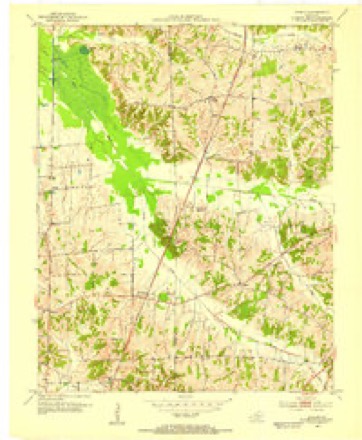
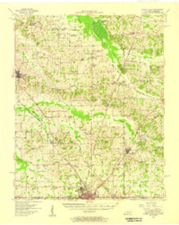
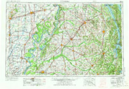
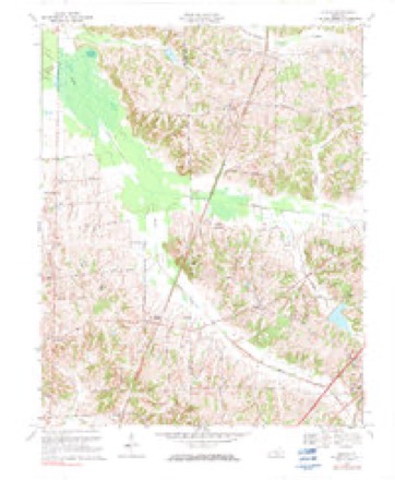
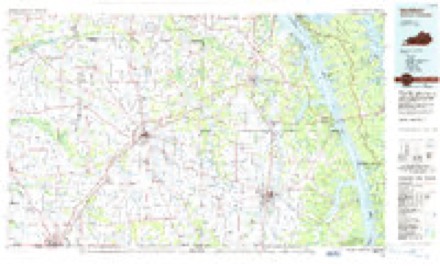
10 topographic sheets cover this place, the earliest surveyed in 1952 and the latest in 1986. It stands in the Fancy Farm census division. It lies in ZIP code area 42039. The Survey maps it on the Dublin quadrangle. It stands 499 feet above sea level.
Topographic sheets covering this place
5 surveys from 10 printed sheetsMatched by testing this settlement's coordinate against the published boundary of every sheet in the United States Geological Survey's historical collection. Each opens the scanned sheet at the Survey.
- 1952 USGS Dublin quadrangle1:24000
- 1952 USGS Water Valley quadrangle1:62500
- 1956 USGS Dyersburg quadrangle1:250000, 4 printings
- 1969 USGS Dublin quadrangle1:24000, 2 printings
- 1986 USGS Murray quadrangle1:100000, 2 printings
Fires near this place
35 since 1997Regional context, not property-specific evidence. The federal wildfire occurrence database lists 35 fires within 5 miles of Dublin between 1997 and 2020, burning about 470 acres in total. None started naturally. None was recorded as arson. Distance is straight-line from the map coordinates, so a fire counted here may appear on a neighbouring settlement's page as well.
| Reported cause | Fires |
|---|---|
| Missing data/not specified/undetermined | 15 |
| Recreation and ceremony | 12 |
| Railroad operations and maintenance | 4 |
| Debris and open burning | 3 |
| Smoking | 1 |
The most recent of them, most recent first, with the day each was reported and the service that recorded it.
| Date | Cause | Size | Reported by | Name on the report |
|---|---|---|---|---|
| 30 September 1999 | Debris and open burning | 1.0 acres | Kentucky Division of Forestry | not named |
| 24 September 1999 | Smoking | 10 acres | Kentucky Division of Forestry | not named |
| 23 September 1999 | Missing data/not specified/undetermined | 1.0 acres | Kentucky Division of Forestry | not named |
| 20 August 2007 | Railroad operations and maintenance | 227 acres | Kentucky Division of Forestry | not named |
| 19 August 2004 | Missing data/not specified/undetermined | 3.0 acres | Kentucky Division of Forestry | not named |
| 18 August 2012 | Recreation and ceremony | under an acre | Kentucky Division of Forestry | 339 NORTH |
| 16 August 2007 | Missing data/not specified/undetermined | 1.0 acres | Kentucky Division of Forestry | not named |
| 29 July 2002 | Missing data/not specified/undetermined | 5.0 acres | Kentucky Division of Forestry | not named |
Settlements close enough to share some of these fires:
Mines and quarries near this place
1 within 5 milesRegional context, not property-specific evidence. The federal mineral resources record lists 1 working within 5 miles of Dublin: 1 occurrence. None of them still produces. What was taken out: Clay. Distance is straight-line from the map coordinates, so a quarry counted here may appear on a neighbouring settlement's page as well.
| Where | Site | Commodity | Status | Recorded |
|---|---|---|---|---|
| S.S. Campbell Farm Prospect | Clay | Occurrence |
Storms near this place
8 since 1996Regional context, not property-specific evidence. The National Weather Service names Dublin in 8 storm reports between 1996 and 2025: 4 thunderstorm wind, 2 tornado, 1 lightning, 1 hail. The reports record 10 injuries. Each account below is quoted exactly as the forecast office filed it, from the NOAA Storm Events Database, and each date opens the federal record of that event.
| When | Event | Place named | Harm | What the report says |
|---|---|---|---|---|
| May 2016 | Tornado (EF3) | Dublin | 10 hurt, $3,500,000 | Dozens of structures were destroyed, including mobile homes, businesses, barns, and garages. Several homes received major damage or were destroyed. Many dozens of other homes and businesses received minor damage, mainly loss of shingles and fascia. Several dozen cars were damaged or destroyed. Some cars were tossed around and lofted atop other cars or structures. Thousands of trees were snapped, uprooted, or broken. The tornado was captured on video or camera by numerous individuals. The tornado appeared to have more than one vortex at several different points along its path. The tornado moved through some residential and commercial neighborhoods just outside the northern city limits of Mayfield. A car dealership on U.S. Highway 45 right near the city limit received extensive damage, including the loss of almost all 40 vehicles on the lot as well as a nearby storage building. The peak wind speed of 140 mph was assigned at this car lot. A flea market type of business on Highway 121 just outside Mayfield was destroyed by winds near 135 mph. Once the tornado reached the northern edge of Mayfield, it tracked almost parallel to the Purchase Parkway (future Interstate 69). The center of the tornado stayed about one-half mile north of the parkway, crossing Kentucky Highways 131 and 301 prior to reaching the Marshall County line. The average path width was approximately 300 yards. Peak wind speeds were estimated near 140 mph. The tornado continued into Marshall County very close to where the parkway crosses the county line. |
| January 2008 | Thunderstorm Wind | Dublin | $50,000 | Steel patio furniture was blown around. A tin roof was blown off a mobile home. A car was damaged by the roof. A carport was blown away. The roof was torn from a back deck, and a front porch was damaged. A garage was destroyed. A horse was blown onto a road. The horse was badly injured and was euthanized. |
| May 2010 | Lightning | Dublin | $35,000 | A bolt of lightning struck a large oak tree over a hundred years old. The tree crashed onto three vehicles parked in a driveway. A full-size pickup truck was totalled, another older truck was extensively damaged, and a sports car was heavily damaged. Phone lines were taken down by the tree. |
| February 1999 | Thunderstorm Wind | Dublin | $30,000 | A small tool barn was destroyed. Elsewhere in the county, numerous trees were blown down and a mobile home was overturned. |
| May 2024 | Tornado (EF1) | Dublin | $10,000 | An EF-1 tornado touched down in far western Graves County early morning on the 26th, then proceeded eastward. Moderate tree damage along the path occurred with large branches snapped and a couple of trees uprooted. One farm outbuilding was largely destroyed. At the end of the track the tornado lifted and the storm transitioned to broader straight-line winds. Estimated peak winds with this tornado were 100 mph. |
| January 2012 | Thunderstorm Wind | Dublin | $2,000 | A tv/radio antenna was blown down. |
| December 1996 | Thunderstorm Wind | Dublin | $2,000 | no account filed |
| March 2025 | Hail | Dublin | - | Hail up to the size of ping pong balls fell in Dublin. |
Nearest settlements
The eight closest, with where each one stands in the county. Distances are straight-line, computed from the Geographic Names Information System coordinates.
| Map | Place | Distance | Sheets |
|---|---|---|---|
| Baltimore | 2.6 miles | 10 | |
| Holifield | 4.4 miles | 10 | |
| Fancy Farm | 5.1 miles | 9 | |
| Pryorsburg | 5.4 miles | 11 | |
| Wingo | 6.6 miles | 11 | |
| Roper | 7.6 miles | 10 | |
| Mayfield | 8.8 miles | 11 | |
| Stubblefield | 8.9 miles | 11 |
Elsewhere
Matched on this settlement's Geographic Names Information System number rather than its name, so it cannot be a different place of the same name in another state.
| Wikipedia article on Dublin | An encyclopaedic summary. Its text is share-alike, so it is linked here rather than copied. |
| Wikidata item Q5310796 | The structured record the population and elevation above come from. Public domain (CC0). |
Provenance
This settlement is recorded in the Geographic Names Information System as feature 491246. The sheet list is computed by point-in-boundary test against the United States Geological Survey's historical topographic inventory. Both are works of the United States government and carry no copyright under 17 U.S.C. 105.
Wildfire. Short, Karen C. 2022. Spatial wildfire occurrence data for the United States, 1992-2020 [FPA_FOD_20221014]. 6th Edition. Fort Collins, CO: Forest Service Research Data Archive. https://doi.org/10.2737/RDS-2013-0009.6 Collected with United States Government funding and usable without additional permissions or fees.
Mines and quarries. USGS Mineral Resources Data System (MRDS) https://mrdata.usgs.gov/mrds/ A work of the United States government, no copyright under 17 U.S.C. 105.
Storms. NOAA National Centers for Environmental Information, Storm Events Database https://www.ncei.noaa.gov/stormevents/ A work of the United States government, no copyright under 17 U.S.C. 105. Narratives are quoted verbatim from the National Weather Service report and are not edited or summarised.