 Block
Baltimore, Kentucky
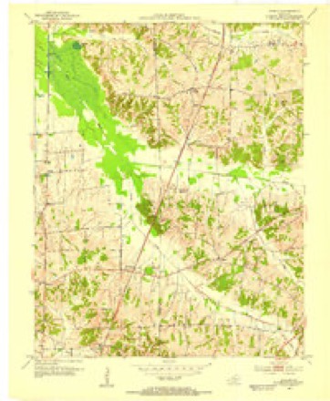
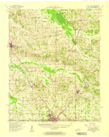
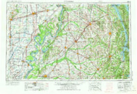
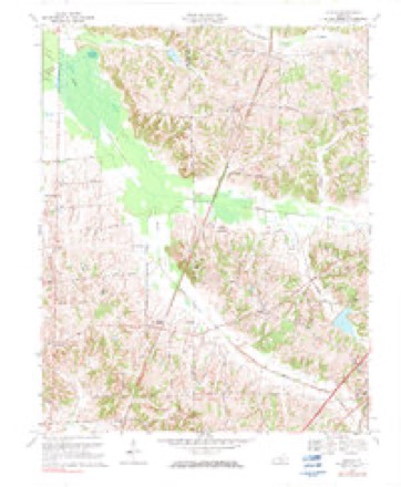
10 topographic sheets cover this place, the earliest surveyed in 1952 and the latest in 1986. It stands in the Wingo-Water Valley census division. It lies in ZIP code area 42066. It stands on Cane Creek. The Survey maps it on the Dublin quadrangle.
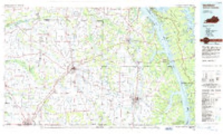
Topographic sheets covering this place
5 surveys from 10 printed sheetsMatched by testing this settlement's coordinate against the published boundary of every sheet in the United States Geological Survey's historical collection. Each opens the scanned sheet at the Survey.
- 1952 USGS Dublin quadrangle1:24000
- 1952 USGS Water Valley quadrangle1:62500
- 1956 USGS Dyersburg quadrangle1:250000, 4 printings
- 1969 USGS Dublin quadrangle1:24000, 2 printings
- 1986 USGS Murray quadrangle1:100000, 2 printings
Fires near this place
34 since 1997Regional context, not property-specific evidence. The federal wildfire occurrence database lists 34 fires within 5 miles of Baltimore between 1997 and 2020, burning about 788 acres in total. None started naturally. None was recorded as arson. Distance is straight-line from the map coordinates, so a fire counted here may appear on a neighbouring settlement's page as well.
| Reported cause | Fires |
|---|---|
| Recreation and ceremony | 13 |
| Missing data/not specified/undetermined | 13 |
| Debris and open burning | 5 |
| Railroad operations and maintenance | 3 |
The most recent of them, most recent first, with the day each was reported and the service that recorded it.
| Date | Cause | Size | Reported by | Name on the report |
|---|---|---|---|---|
| 7 September 1999 | Railroad operations and maintenance | 500 acres | Kentucky Division of Forestry | not named |
| 30 September 1999 | Debris and open burning | 1.0 acres | Kentucky Division of Forestry | not named |
| 8 August 2007 | Missing data/not specified/undetermined | 2.0 acres | Kentucky Division of Forestry | not named |
| 25 August 2007 | Debris and open burning | 10 acres | Kentucky Division of Forestry | not named |
| 25 August 2007 | Debris and open burning | 2.0 acres | Kentucky Division of Forestry | not named |
| 19 August 2004 | Missing data/not specified/undetermined | 3.0 acres | Kentucky Division of Forestry | not named |
| 18 August 2012 | Recreation and ceremony | under an acre | Kentucky Division of Forestry | 339 NORTH |
| 16 August 2007 | Missing data/not specified/undetermined | 1.0 acres | Kentucky Division of Forestry | not named |
Settlements close enough to share some of these fires:
Mines and quarries near this place
1 within 5 milesRegional context, not property-specific evidence. The federal mineral resources record lists 1 working within 5 miles of Baltimore: 1 occurrence. None of them still produces. What was taken out: Clay. Distance is straight-line from the map coordinates, so a quarry counted here may appear on a neighbouring settlement's page as well.
| Where | Site | Commodity | Status | Recorded |
|---|---|---|---|---|
| S.S. Campbell Farm Prospect | Clay | Occurrence |
Storms near this place
8 since 2011Regional context, not property-specific evidence. The National Weather Service names Baltimore in 8 storm reports between 2011 and 2025: 3 flood, 2 tornado, 2 flash flood, 1 thunderstorm wind. The reports record 24 deaths and 210 injuries. Each account below is quoted exactly as the forecast office filed it, from the NOAA Storm Events Database, and each date opens the federal record of that event.
| When | Event | Place named | Harm | What the report says |
|---|---|---|---|---|
| December 2021 | Tornado (EF4) | Baltimore | 24 killed, 210 hurt | This historic EF-4 tornado was associated with a very long-track supercell that originally formed over eastern Arkansas. The supercell produced a nearly continuous tornado damage path from northeast Arkansas across western Tennessee and western Kentucky. The starting point of this particular tornado was in northwest Tennessee, northwest of Union City (see Storm Data, Tennessee, Western for information on the beginning of this tornado). This tornado crossed from Hickman County into Graves County about one-half mile north of where Highway 58 crosses the county line, close to the tiny community of Baltimore. The tornado was about 1.3 miles wide when it entered the county. It varied from 1 to 1.3 miles in width as it traversed Graves County. The primary impact to Graves County was on the city of Mayfield, where the tornado achieved a rating of EF-4. This city suffered a devastating impact, in terms of both loss of life and property destruction. There were 23 fatalities countywide and many more injuries. On the southwest edge of Mayfield as the tornado entered the city, a candle factory was demolished (DI 23, DOD 7). At least nine workers in the factory were killed. The tornado continued northeast through the heart of Mayfield at 9:28 PM CST, averaging just over one mile in width. The downtown area was directly impacted, crippling the police and fire department headquarters and emergency communications. Residential neighborhoods both southwest and northeast of downtown were destroyed. Numerous businesses in the downtown business district collapsed. Several damage sites in the city of Mayfield received a wind speed estimate of 188 mph, the highest in the county. Many of the structures were historic brick buildings (DI 17, DOD 7). At least 1,500 structures were damaged or destroyed, including a couple hundred businesses. The Red Cross estimated that 730 dwellings were uninhabitable. A large number of vehicles were thrown and destroyed, including some farm equipment in rural areas outside the city. Nearly total tree destruction was observed. The first EF-4 damage in the county was noted at and around the candle factory on the southwest side of Mayfield. Near the candle factory, a house was swept clean off the concrete slab (DI 2, DOD 10). The last EF-4 damage points in the county were on the northeast side of Mayfield, including a nursing home (DI 7, DOD 7). After entering Graves County, the tornado intersected I-69 (formerly the Purchase Parkway) four miles southwest of the Mayfield city limit. A wind gust to 93 knots or 107 mph was measured at the University of Kentucky mesonet site 6 miles southwest of Mayfield. The tornado then closely followed Interstate 69 northeast all the way to Marshall County. The tornado crossed the interstate multiple times. The first crossing was two miles southwest of Mayfield, then again northeast of Mayfield just east of the Highway 131 interchange, and again at the Marshall County line. The interstate was blocked in spots by trees, power lines, and debris. From Highway 131 to Highway 301 northeast of Mayfield, the tornado followed the exact same path as the May 10, 2016 EF-3 tornado. Some of the same structures that were damaged in that tornado were destroyed by this tornado. The tornado exited Graves County into Marshall County along Interstate 69 (formerly the Purchase Parkway) where it crosses the county line. |
| May 2011 | Flood | Baltimore | $3,000,000 | no account filed |
| April 2017 | Tornado (EF0) | Baltimore | $75,000 | The tornado crossed from Hickman County into Graves County about one mile north of Highway 58. The tornado weakened somewhat as it crossed into Graves County, where the damage track became more intermittent. Peak winds in the Graves County portion of the track were estimated just above 80 mph. Most of the damage was concentrated in Hickman County. Much of the structural damage in the Graves County portion of the path was along Highway 339, where a barn was heavily damaged. Otherwise, the damage along the Graves County portion of the track consisted mostly of some uprooted trees and broken branches. Trees were uprooted along U.S. Highway 45 near Pryorsburg. Four eyewitnesses reported seeing the tornado near Fulgham in Hickman County. |
| May 2024 | Thunderstorm Wind | Baltimore | $10,000 | On the south side of the tornado track, straight-line winds from the rear flank downdraft damaged trees including snapping a tree, and caused an outbuilding to collapse. |
| January 2025 | Flash Flood | Baltimore | $5,000 | A stalled vehicle and water rescue occurred around 1700CST on KY-58 at Brush Creek near the Graves and Hickman County line. Radar estimated rainfall was around 2-2.5 inches at the time of the water rescue, with an additional inch of rainfall occurring through the evening hours. |
| February 2025 | Flash Flood | Baltimore | - | Flash flooding along Brush Creek closed Highway 58 and Highway 1283 near the Hickman County line. |
| March 2016 | Flood | Baltimore | - | The flash flood event from the previous evening evolved into a longer-term flood event. Floodwaters closed parts of Kentucky Highways 58 and 97. Kentucky Highway 1283 was closed just off Kentucky Highway 58. |
| April 2011 | Flood | Baltimore | - | no account filed |
Nearest settlements
The eight closest, with where each one stands in the county. Distances are straight-line, computed from the Geographic Names Information System coordinates.
| Map | Place | Distance | Sheets |
|---|---|---|---|
| Holifield | 2.0 miles | 10 | |
| Dublin | 2.6 miles | 10 | |
| Wingo | 4.7 miles | 11 | |
| Pryorsburg | 4.9 miles | 11 | |
| Roper | 5.0 miles | 10 | |
| Stubblefield | 7.5 miles | 11 | |
| Fancy Farm | 7.8 miles | 9 | |
| Payne | 8.4 miles | 11 |
Provenance
This settlement is recorded in the Geographic Names Information System as feature 507446. The sheet list is computed by point-in-boundary test against the United States Geological Survey's historical topographic inventory. Both are works of the United States government and carry no copyright under 17 U.S.C. 105.
Wildfire. Short, Karen C. 2022. Spatial wildfire occurrence data for the United States, 1992-2020 [FPA_FOD_20221014]. 6th Edition. Fort Collins, CO: Forest Service Research Data Archive. https://doi.org/10.2737/RDS-2013-0009.6 Collected with United States Government funding and usable without additional permissions or fees.
Mines and quarries. USGS Mineral Resources Data System (MRDS) https://mrdata.usgs.gov/mrds/ A work of the United States government, no copyright under 17 U.S.C. 105.
Storms. NOAA National Centers for Environmental Information, Storm Events Database https://www.ncei.noaa.gov/stormevents/ A work of the United States government, no copyright under 17 U.S.C. 105. Narratives are quoted verbatim from the National Weather Service report and are not edited or summarised.