 Block
Wingo, Kentucky
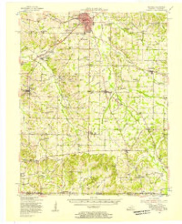
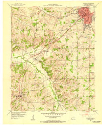
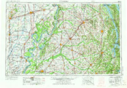
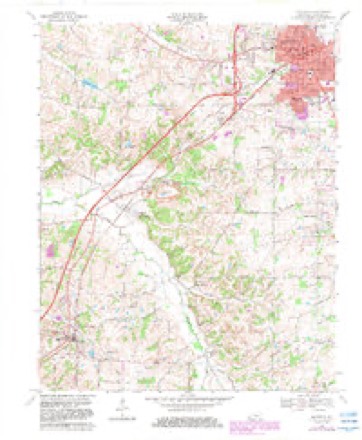
11 topographic sheets cover this place, the earliest surveyed in 1952 and the latest in 1994. It stands in the Wingo-Water Valley census division. It lies in ZIP code area 42088. It stands on Douthitt Creek. The Survey maps it on the Mayfield quadrangle. 573 people lived here at the 2020 count. It stands 502 feet above sea level.
Population over time
3 figuresWingo fell from 581 to 573 between 2000 and 2020. These are the recorded population figures Wikidata holds for this place, reached through the Geographic Names Information System number this page is keyed on rather than by name, so they belong to this place and not to another of the same name. Most are census counts, but not all are: an early figure may be a founding or settlement estimate, and an estimate published within five years of a census is left out. The change column is computed, and is left blank where more than 20 years separate a figure from the one before it, because a gap that long is not a change between two counts.
| Year | People | Change |
|---|---|---|
| 2000 | 581 | |
| 2010 | 632 | +51 (+9%) |
| 2020 | 573 | -59 (-9%) |
Topographic sheets covering this place
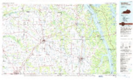
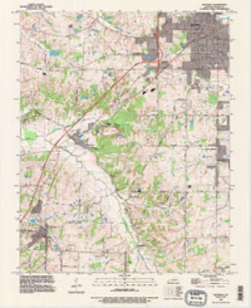
6 surveys from 11 printed sheetsMatched by testing this settlement's coordinate against the published boundary of every sheet in the United States Geological Survey's historical collection. Each opens the scanned sheet at the Survey.
- 1952 USGS Mayfield quadrangle1:62500
- 1952 USGS Mayfield quadrangle1:24000
- 1956 USGS Dyersburg quadrangle1:250000, 4 printings
- 1969 USGS Mayfield quadrangle1:24000, 2 printings
- 1986 USGS Murray quadrangle1:100000, 2 printings
- 1994 USGS Mayfield quadrangle1:24000
Fires near this place
36 since 1999Regional context, not property-specific evidence. The federal wildfire occurrence database lists 36 fires within 5 miles of Wingo between 1999 and 2019, burning about 301 acres in total. None started naturally. None was recorded as arson. Distance is straight-line from the map coordinates, so a fire counted here may appear on a neighbouring settlement's page as well.
| Reported cause | Fires |
|---|---|
| Recreation and ceremony | 11 |
| Missing data/not specified/undetermined | 11 |
| Debris and open burning | 7 |
| Railroad operations and maintenance | 4 |
| Equipment and vehicle use | 1 |
| Misuse of fire by a minor | 1 |
| Smoking | 1 |
The most recent of them, most recent first, with the day each was reported and the service that recorded it.
| Date | Cause | Size | Reported by | Name on the report |
|---|---|---|---|---|
| 4 September 2007 | Railroad operations and maintenance | 1.0 acres | Kentucky Division of Forestry | not named |
| 30 September 1999 | Debris and open burning | 1.0 acres | Kentucky Division of Forestry | not named |
| 2 September 2007 | Railroad operations and maintenance | 2.0 acres | Kentucky Division of Forestry | not named |
| 19 September 2010 | Missing data/not specified/undetermined | 10 acres | Kentucky Division of Forestry | LOSS DIRT |
| 8 August 2007 | Missing data/not specified/undetermined | 2.0 acres | Kentucky Division of Forestry | not named |
| 25 August 2007 | Debris and open burning | 10 acres | Kentucky Division of Forestry | not named |
| 25 August 2007 | Debris and open burning | 2.0 acres | Kentucky Division of Forestry | not named |
| 24 August 2007 | Railroad operations and maintenance | 10 acres | Kentucky Division of Forestry | not named |
Settlements close enough to share some of these fires:
Mines and quarries near this place
1 within 5 milesRegional context, not property-specific evidence. The federal mineral resources record lists 1 working within 5 miles of Wingo: 1 producer. All of them still produce. What was taken out: Sand and Gravel, Construction. Distance is straight-line from the map coordinates, so a quarry counted here may appear on a neighbouring settlement's page as well.
| Where | Site | Commodity | Status | Recorded |
|---|---|---|---|---|
| Bards Pit | Sand and Gravel, Construction | Producer |
Storms near this place
41 since 1997Regional context, not property-specific evidence. The National Weather Service names Wingo in 41 storm reports between 1997 and 2025: 17 thunderstorm wind, 13 hail, 2 tornado, 2 flash flood. The reports record 2 injuries. Each account below is quoted exactly as the forecast office filed it, from the NOAA Storm Events Database, and each date opens the federal record of that event.
| When | Event | Place named | Harm | What the report says |
|---|---|---|---|---|
| April 1997 | Lightning | Wingo | 2 hurt | no account filed |
| June 2023 | Thunderstorm Wind | Wingo | $600,000 | Widespread major damage to trees and power lines was reported in a path across southern Graves County. The area from Wingo to Sedalia was in the most concentrated damage path. Trees were down across numerous roads. Power poles were snapped in the Wingo area. A garage was blown off its foundation near Wingo. A jeep was moved about 40 feet and pushed into a fence. Shingles were blown off houses. Trees landed on houses and vehicles. An empty school bus was demolished. About 1,000 utility customers were still without power the following morning, mostly in the Wingo area. |
| March 2017 | Thunderstorm Wind | Wingo | $65,000 | Widespread damaging winds were observed across southwest Graves County. A wind gust to 77 mph was measured at the Kentucky mesonet site near Pryorsburg. In Water Valley, a large metal roof was blown up against a neighboring house. Shingles were blown off at least one house. Power poles were blown over, and trees were down. At a residence three miles northwest of Wingo along Highway 58, the whole back porch of the residence was ripped off and blown into the bedroom and front yard. |
| May 2020 | Thunderstorm Wind | Wingo | $40,000 | Numerous trees and power lines were down in the Wingo area. A mesonet site a few miles north-northeast of Wingo measured a gust to 64 mph. |
| December 2021 | Tornado (EF0) | Wingo | $25,000 | This weak tornado tracked across rural farm country between Wingo and Cuba. Mainly trees and large tree branches were down. There was damage to a few barns and a chicken house. Peak winds were estimated near 85 mph. |
| June 2008 | Thunderstorm Wind | Wingo | $25,000 | Several trees were blown down over an area from Pryorsburg to Wingo to Mayfield, then along the Purchase Parkway to the Marshall County line. A healthy large tree fell on a house in Mayfield, causing significant roof damage. A nearby SUV was damaged by one of the limbs. |
| April 2006 | Thunderstorm Wind | Wingo | $20,000 | The front of a vacant brick building, damaged by fire several years ago, blew onto Kentucky 339. Since the remainder of the structure was on the verge of collapse, the walls were pulled down by firefighters using a truck and a log chain. |
| May 2014 | Hail | Wingo | $15,000 | There were two reports of half dollar size hail. Some minor damage occurred to cars. |
| May 2016 | Thunderstorm Wind | Wingo | $10,000 | Trees were blown down. |
| August 2010 | Thunderstorm Wind | Wingo | $10,000 | A wind gust to 62 mph was measured at a mesonet site six miles southwest of Mayfield. Wind gusts were estimated around 60 mph from Wingo to Water Valley. Tree limbs and small trees were blown down. |
| June 2018 | Thunderstorm Wind | Wingo | $5,000 | The public estimated winds gusted to 60 mph at Farmington. Tree damage was reported in Wingo. |
| July 2016 | Thunderstorm Wind | Wingo | $5,000 | In Wingo, a few trees were down, including a large oak tree that was uprooted. A portion of a large tree was blown onto the property of a residence. A couple of miles north of Cuba, tree limbs were down along State Route 303. |
| August 2005 | Thunderstorm Wind | Wingo | $5,000 | Numerous trees and power lines were blown down along the Hickman County border. Two trees blocked Highway 58 at the Hickman County line. |
| June 2018 | Thunderstorm Wind | Wingo | $3,000 | Power lines were down across the southern portion of Graves County. |
| April 2011 | Thunderstorm Wind | Wingo | $3,000 | A spotter estimated wind gusts around 60 mph. A few trees were blown down. |
| April 2022 | Thunderstorm Wind | Wingo | $1,000 | Tree limbs up to 3 inches in diameter were blown down. |
| September 2012 | Thunderstorm Wind | Wingo | $1,000 | The wind tore apart a swing set and carried it into a bean field across the road. |
| February 2025 | Flood | Wingo | - | Flash flooding from the 15th and early 16th transitioned to areal flooding along Cane and Brush Creeks to the west of Pryorsburg and Wingo. Highways 1283 and 58 remained closed. |
| August 2023 | Flash Flood | Wingo | - | Water was over roads in Wingo. Water was over Kentucky 339 in downtown Wingo. |
| July 2020 | Flood | Wingo | - | A secondary road was water-covered. |
| March 2017 | Hail | Wingo | - | Half-dollar size hail fell at Pryorsburg. Nickel-size hail was reported just north of Wingo. |
| December 2015 | Hail | Wingo | - | A brief period of golf-ball size hail was reported. |
| October 2014 | Heavy Rain | Wingo | - | Some ponding of water occurred in low-lying areas and on a couple of back roads. Water was over a foot deep on Kentucky Highway 97 just south of Sedalia. A trained spotter reported 4.25 inches of rain overnight a few miles east of Wingo. |
| April 2014 | Funnel Cloud | Wingo | - | Trained spotters reported a funnel cloud between Water Valley and Wingo. |
| October 2009 | Heavy Rain | Wingo | - | Water was over U.S. Highway 45 south of Wingo near the 5 mile marker. Water was about four inches deep on one lane of Kentucky 97 in south Graves County. |
| May 2003 | Tornado (F1) | Wingo | - | The tornado entered Graves County a couple miles north of where the Purchase Parkway crosses the Hickman/Graves County line. A very broken path of damage extended across southern Graves County to near the Calloway County border. A garage attached to a residence was destroyed. Roofs were damaged. An open aluminum equipment shed was heavily damaged. Trees were blown down. Peak winds were estimated near 95 MPH. |
| May 2003 | Flash Flood | Wingo | - | Red Duck Creek flooded in Mayfield, causing the evacuation of ten homes between South 7th and South 9th Streets. Near the intersection of Highway 97 and the Kentucky 121 bypass, another three homes were evacuated. U.S. Route 45 just north of Mayfield was under 2 to 3 feet of water. The Purchase Parkway was closed between mile markers 16 and 20 between Wingo and Mayfield due to flooding. Some vehicles were flooded. In Pryorsburg, water rose as high as the pews in a church. Water was up to several feet deep in one home on U.S. Route 45. A bridge on Spence Chapel Road near Kentucky 131 was washed out. Newly planted corn and soybeans in farm fields were destroyed. An unofficial measurement of 6.75 inches of rain was recorded near U.S. Highway 45 between Hickory and Mayfield. Most of the rain fell in 3 to 4 hours. In Wingo, high water caused the evacuation of a family, and streets were flooded. |
| January 2002 | Thunderstorm Wind | Wingo | - | A state police dispatcher reported trees blown down at the Wingo exit of the Purchase Parkway. |
| April 2002 | Thunderstorm Wind | Wingo | - | 20 to 25 large trees were blown down on several state highways. Another 25 to 30 trees were down across county roads. |
| June 2023 | Hail | Wingo | - | no account filed |
| June 2019 | Hail | Wingo | - | no account filed |
| March 2016 | Hail | Wingo | - | no account filed |
| May 2012 | Hail | Wingo | - | no account filed |
| April 2011 | Hail | Wingo | - | no account filed |
| May 2011 | Funnel Cloud | Wingo | - | no account filed |
| February 2011 | Hail | Wingo | - | no account filed |
| April 2011 | Hail | Wingo | - | no account filed |
| May 2010 | Hail | Wingo | - | no account filed |
| August 2010 | Hail | Wingo | - | no account filed |
| May 2004 | Thunderstorm Wind | Wingo | - | no account filed |
| April 1998 | Hail | Wingo | - | no account filed |
Nearest settlements
The eight closest, with where each one stands in the county. Distances are straight-line, computed from the Geographic Names Information System coordinates.
| Map | Place | Distance | Sheets |
|---|---|---|---|
| Holifield | 3.0 miles | 10 | |
| Stubblefield | 3.2 miles | 11 | |
| Pryorsburg | 3.3 miles | 11 | |
| Roper | 4.0 miles | 10 | |
| Baltimore | 4.7 miles | 10 | |
| Payne | 4.9 miles | 11 | |
| South Highland | 6.4 miles | 11 | |
| Water Valley | 6.5 miles | 10 |
Elsewhere
Matched on this settlement's Geographic Names Information System number rather than its name, so it cannot be a different place of the same name in another state.
| Wikipedia article on Wingo | An encyclopaedic summary. Its text is share-alike, so it is linked here rather than copied. |
| Wikidata item Q1809183 | The structured record the population and elevation above come from. Public domain (CC0). |
Provenance
This settlement is recorded in the Geographic Names Information System as feature 506944. The sheet list is computed by point-in-boundary test against the United States Geological Survey's historical topographic inventory. Both are works of the United States government and carry no copyright under 17 U.S.C. 105.
Wildfire. Short, Karen C. 2022. Spatial wildfire occurrence data for the United States, 1992-2020 [FPA_FOD_20221014]. 6th Edition. Fort Collins, CO: Forest Service Research Data Archive. https://doi.org/10.2737/RDS-2013-0009.6 Collected with United States Government funding and usable without additional permissions or fees.
Mines and quarries. USGS Mineral Resources Data System (MRDS) https://mrdata.usgs.gov/mrds/ A work of the United States government, no copyright under 17 U.S.C. 105.
Storms. NOAA National Centers for Environmental Information, Storm Events Database https://www.ncei.noaa.gov/stormevents/ A work of the United States government, no copyright under 17 U.S.C. 105. Narratives are quoted verbatim from the National Weather Service report and are not edited or summarised.