Block
From the record
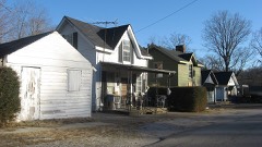
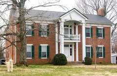
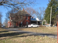
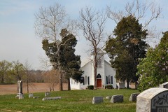
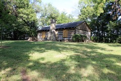
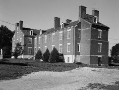
20 National Register listings published here.
Sources: the National Register database, National Park Service
63 topographic sheets and 15 fire insurance atlases across 3 places.
20 National Register listings published here.
Sources: the National Register database, National Park Service
Taken for the Office of War Information and the Farm Security Administration, who photographed the country between 1935 and 1944. Works of United States government photographers, with no known restriction on use. Each opens its catalogue record.
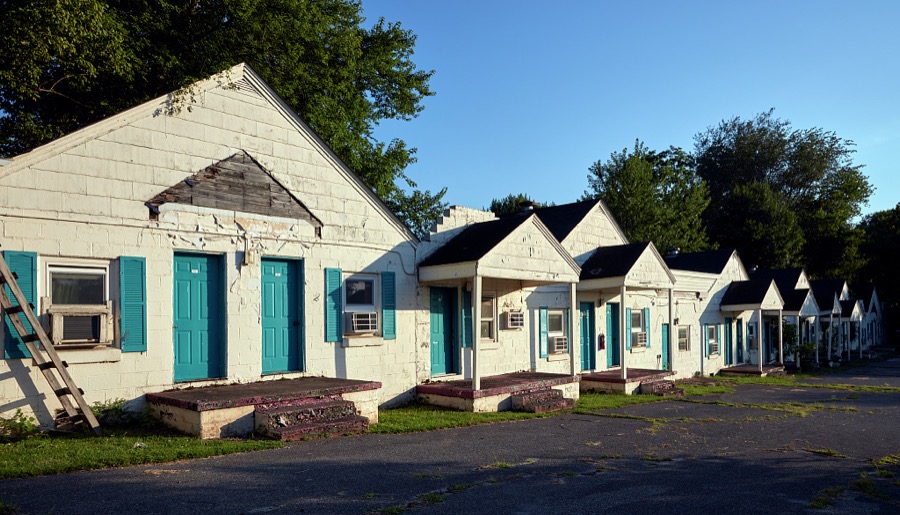
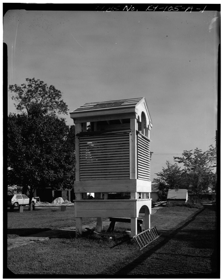
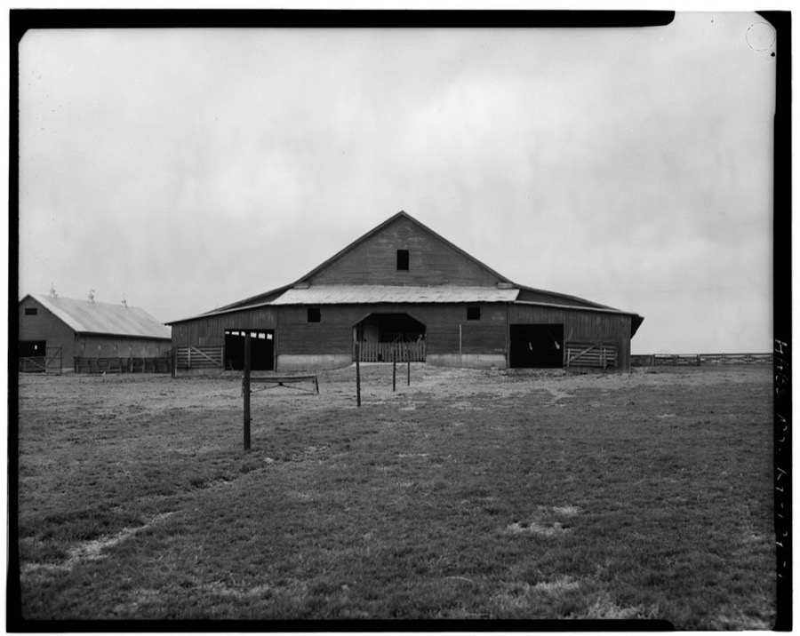
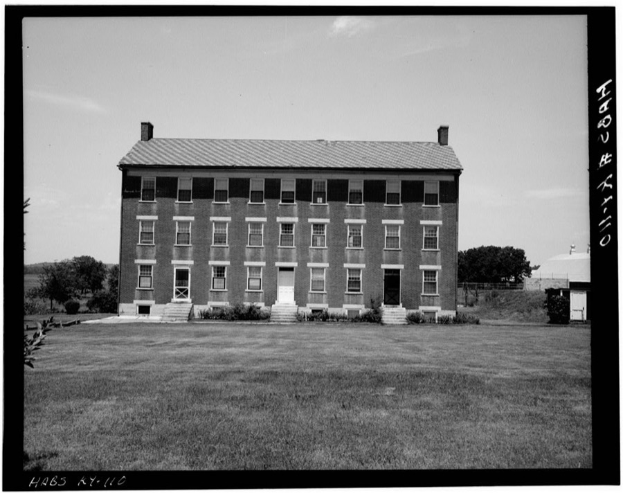
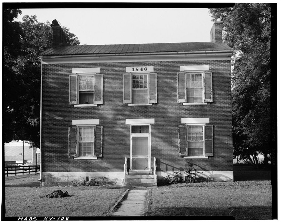
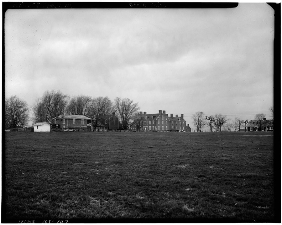
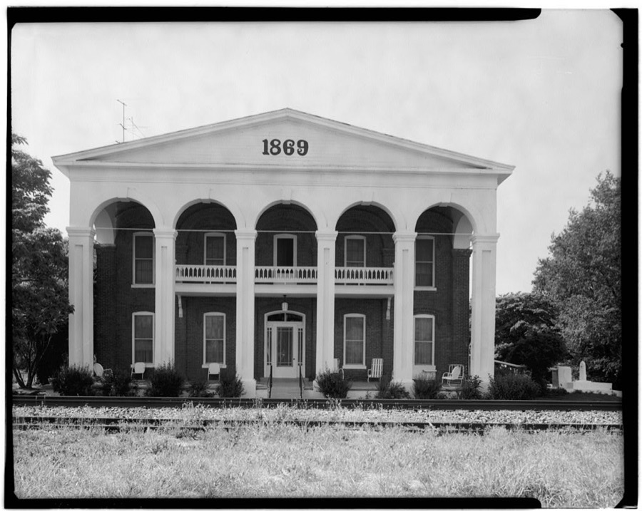
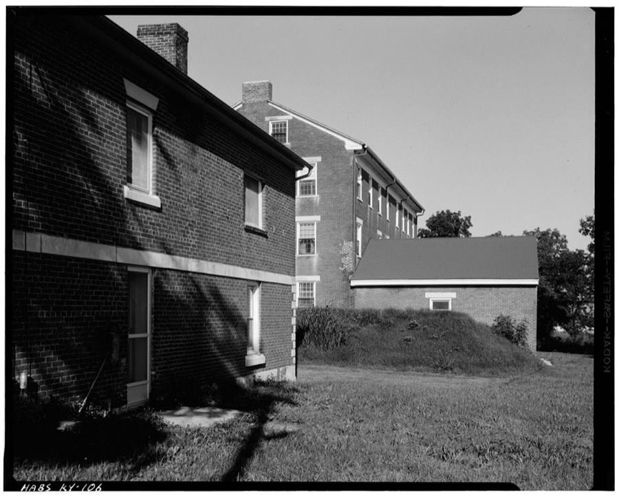
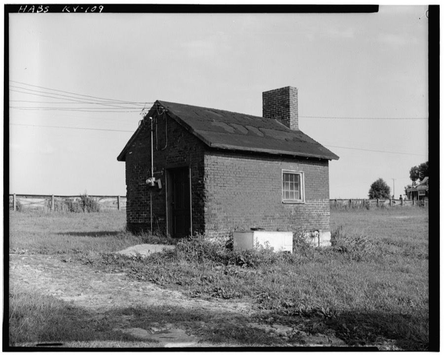
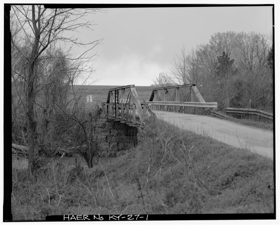
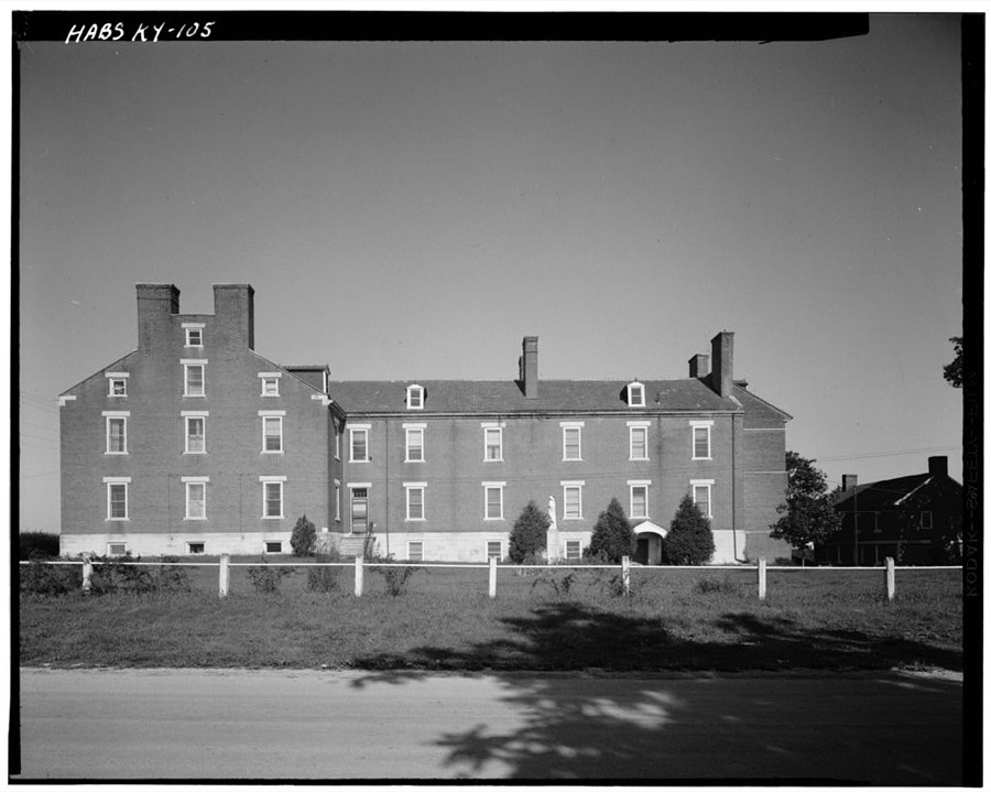
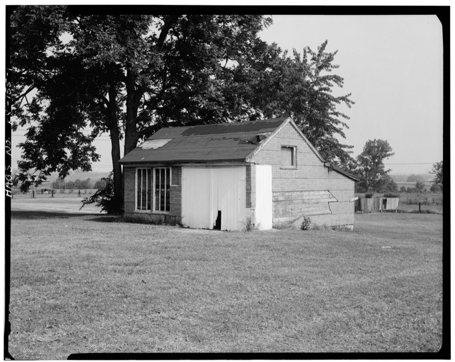
Every property in this county listed on the National Register of Historic Places, with the year it was listed and the federal nomination document.
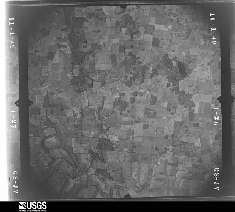
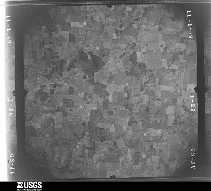
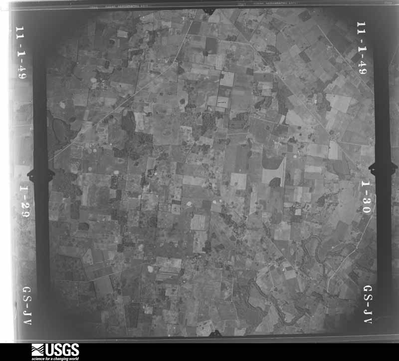
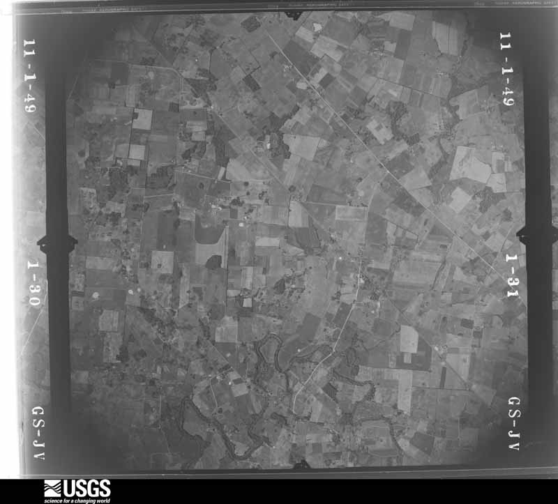
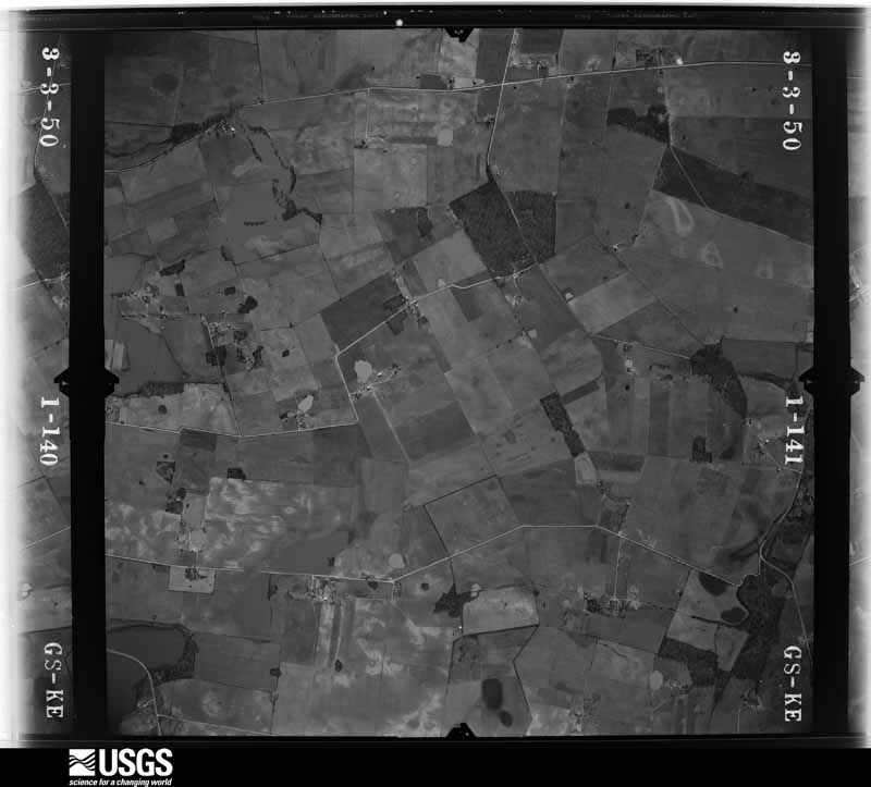
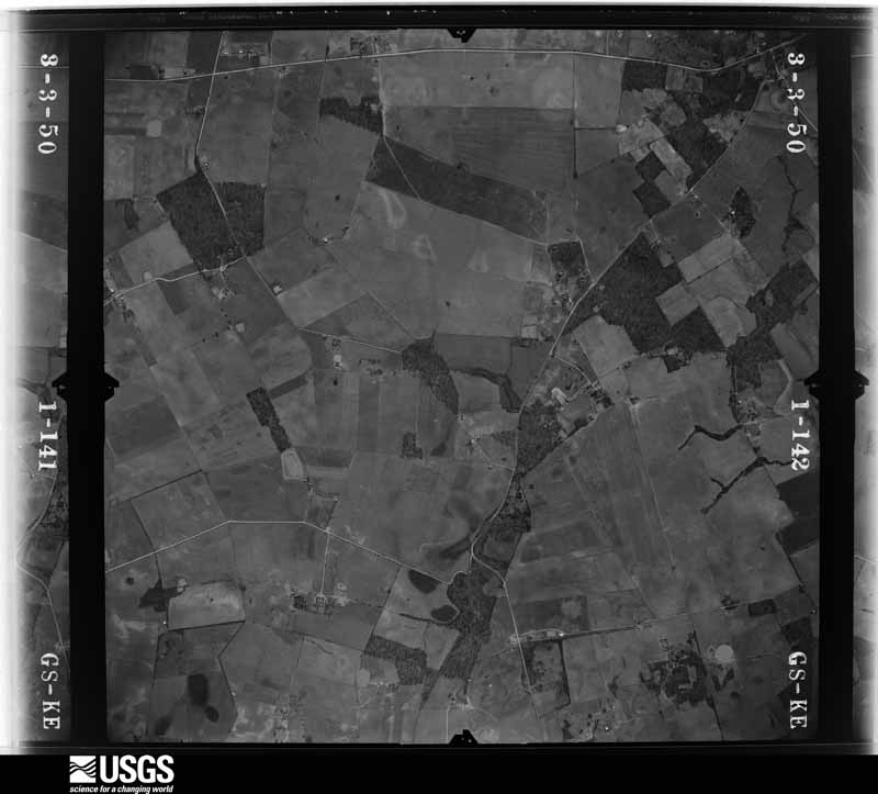
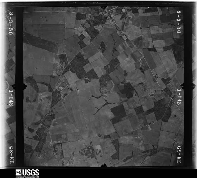
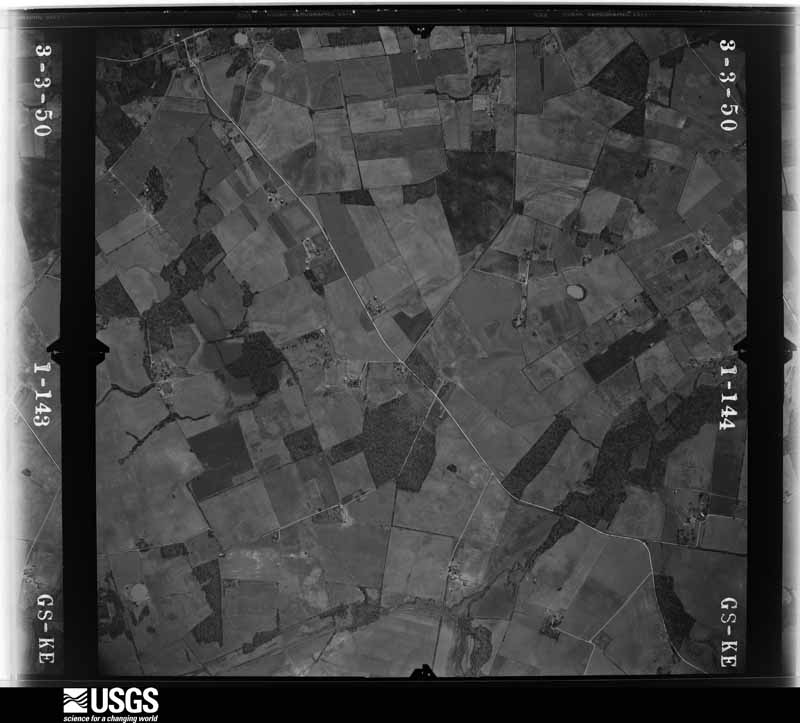
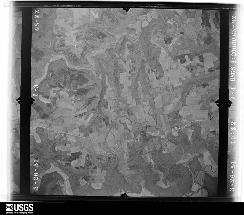
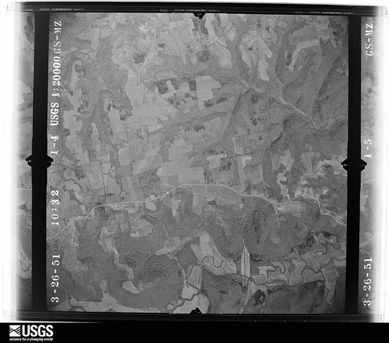
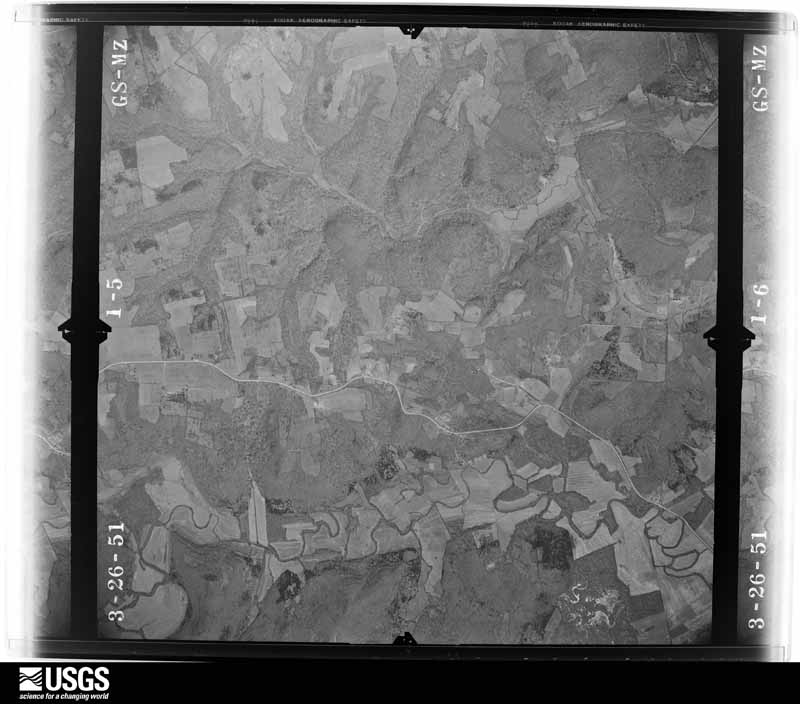
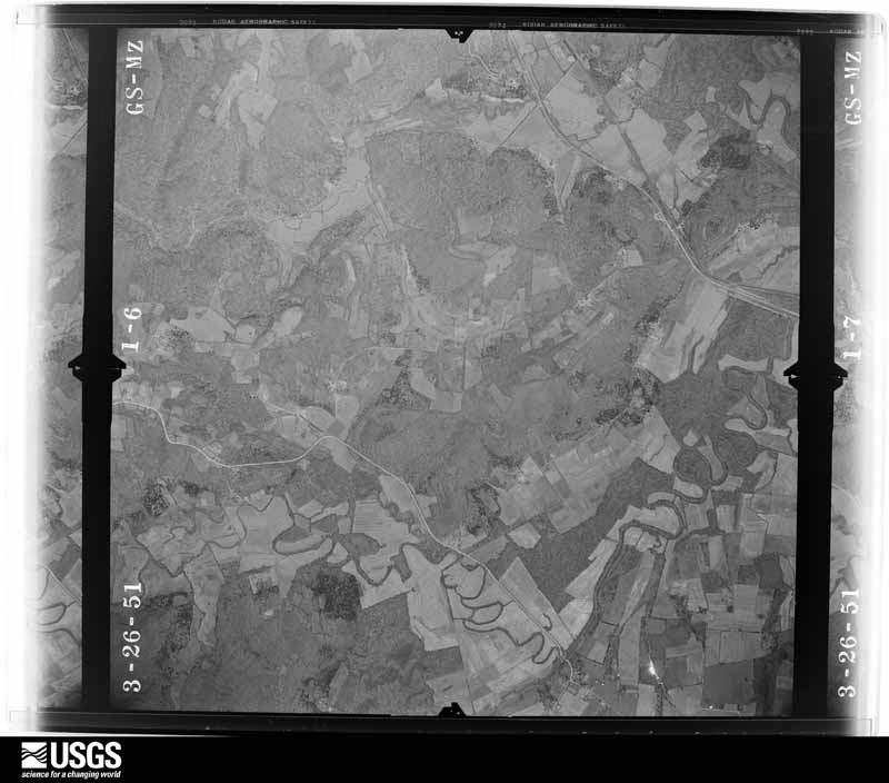
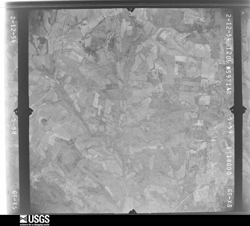
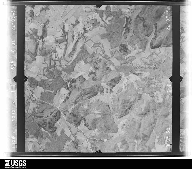
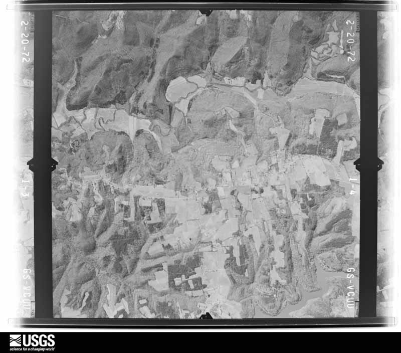
Flown by the U.S. Geological Survey between 1937 and 1989, the Aerial Photo Single Frames collection is the definitive mid-century view of the land: fields, roads and rivers as the camera saw them. The Survey holds 825 frames inside the rectangle that bounds this county; the 23 frames below were taken over the county itself, chosen across the decades of flights (at most four a year from that rectangle), so one flight cannot crowd out the rest. The full set is free to browse and download at EarthExplorer under the dataset Aerial Photo Single Frames.








The thermometers that kept this county's weather, and the gages that measured the flow of its streams, as the federal records hold them. The extremes below are measured values from those records, not estimates.
Who lived here in 1950, one enumeration district at a time, as the Census Bureau described each district. Each row opens its official National Archives result, with Population Schedules and ED Maps available there.
Every wildfire the federal occurrence database records inside this county: 57 of them, burning about 666 acres. 1 started naturally and 8 were recorded as arson. Each settlement page carries the fires within five miles of it.
| Reported cause | Fires |
|---|---|
| Missing data/not specified/undetermined | 18 |
| Recreation and ceremony | 12 |
| Debris and open burning | 10 |
| Arson/incendiarism | 8 |
| Railroad operations and maintenance | 5 |
| Misuse of fire by a minor | 1 |
| Natural | 1 |
| Equipment and vehicle use | 1 |
| Smoking | 1 |
The five largest, by the area the report gives. Two of them were set deliberately.
| Date | Cause | Size | Reported by | Name on the report |
|---|---|---|---|---|
| 10 August 2007 | Arson/incendiarism | 230 acres | Kentucky Division of Forestry | not named |
| 24 March 2014 | Recreation and ceremony | 72 acres | Kentucky Division of Forestry | BUCKSVILLE RD |
| 2 March 2006 | Missing data/not specified/undetermined | 55 acres | Kentucky Division of Forestry | not named |
| 10 March 2001 | Debris and open burning | 45 acres | Kentucky Division of Forestry | not named |
| 13 March 2004 | Missing data/not specified/undetermined | 30 acres | Kentucky Division of Forestry | not named |
| 18 October 2010 | Railroad operations and maintenance | 23 acres | Kentucky Division of Forestry | CHAPEL |
| 15 March 2000 | Arson/incendiarism | 23 acres | Kentucky Division of Forestry | not named |
| 4 March 2006 | Missing data/not specified/undetermined | 20 acres | Kentucky Division of Forestry | not named |
Every settlement page carries the fires within five miles of it - see the settlement index below.
The NOAA Storm Events Database holds 352 reports for this county, causing 4 deaths, 25 injuries and about $9,086,600 in recorded property damage. Each settlement page carries the reports that name it.
| Kind of event | Reports |
|---|---|
| Thunderstorm Wind | 212 |
| Hail | 56 |
| Flash Flood | 46 |
| Tornado | 24 |
| Flood | 9 |
| Lightning | 3 |
| Funnel Cloud | 1 |
| Heavy Rain | 1 |
The most serious of them, by death, then injury, then recorded damage. The accounts are quoted exactly as the forecast office filed them.
| When | Event | Place named | Harm | What the report says |
|---|---|---|---|---|
| March 1991 | Tornado (F2) | not stated | 1 killed, 12 hurt, $2,500,000 | no account filed |
| February 2018 | Tornado (EF2) | Keysburg | 1 killed, 1 hurt, $800,000 | The National Weather Service conducted a storm damage survey in Logan county Kentucky. The damage moved in from Robertson County Tennessee near the end of McGee Road where two homes received extensive damage. The first home, a well built stone home had significant roof damage and the screened in porch was destroyed. The family pick up truck was tossed around 40 yards to the north. On the family cemetery plot several tombstones were knocked over and one headstone was destroyed. There were several outbuildings and 2 pole Barnes were destroyed on the property as well. ||The second home experienced significant foundation damage and the roof was completely thrown off. The family pick up truck was thrown 250 yards and thrown down into a field. Insulation from the home was thrown down wind over 300 yards. The debris field from the two homes was thrown in a farmers field between 100 yards in a quarter mile down wind with several 2 x 4 and 2 x 10 and bricks being impaled into the ground. Winds were estimated between 120 and 130 mph. ||The tornado then moved through several farmers fields doing extensive tree damage and fence damage. Power lines were down throughout this entire stretch.| |The tornado then hit 901 Dot Road destroying 2 barns, moving heavy farm equipment, blowing out exterior walls and destroying the roof at the property. Tragically, a woman in the home was killed by falling debris. The family pet dog was found alive by rescuers underneath extensive rubble. Debris was thrown up to 500 yards and debris with a width of between 250 and and 300 yards in a farmers field. Winds were estimated to be 135 mph at this location. ||Next, the tornado hit a large family farm at 3604 Schley Road destroying the second story. Three farm silos that were empty or destroyed with the metal sheets being thrown over a quarter mile down wind. The tornado continued through farm fields destroying several trees and uprooting them.||The tornado became more elevated at the intersection of Mortimor Station Road and Mirriaheh Road. In this area trees we snapped, and several homes experienced shingle siding and roof damage. Winds were estimated to be 100 to 110 mph here. ||As the tornado was lifting, it snapped some trees in the Schochoh community. |
| August 2010 | Lightning | Danby | 1 killed, 1 hurt | A 16 year old Amish girl was struck in the head and killed by lightning while working in a field. She was pronounced dead at the scene. |
| August 2012 | Thunderstorm Wind | Jerico | 1 killed, $15,000 | The state EOC reported that strong thunderstorm winds toppled a tree onto the porch of a resident in Lewisburg. A man was killed. |
| March 1964 | Tornado (F3) | not stated | 5 hurt, $250,000 | no account filed |
| June 2013 | Tornado (EF2) | Schley | 4 hurt, $500,000 | A National Weather Service storm survey confirmed a strong, long-tracked tornado that first touched down northwest of Adairville near the intersection of Vick Road and State Highway 96, where a barn sustained roof damage and another outbuilding was destroyed. This tornado had a 14 mile long track, 9 of which was in Logan County. Overall, this tornado stayed on the ground for 29 minutes. Damage consistent with a high-end EF-2 tornado was surveyed from near State Highway 96 to just west of the Logan Simpson County line. The worst damage occurred to the north-northeast of Adairville, where the twister crossed Highway 663. Several homes suffered extensive damage. Three people were injured while taking shelter in the bathroom of one home. A fourth injury occurred at a residence along Trimble Road. The tornado weakened as it crossed into Simpson County just north of the intersection of Conn and Reames-Dixon Roads. |
| April 1958 | Tornado (F1) | not stated | 1 hurt, $25,000 | no account filed |
| December 2021 | Tornado (EF3) | Crossroads | 1 hurt | This tornado formed approximately 1 mile southwest of Crossroads near Watlington Road and tracked northeast for approximately 22 miles before crossing into western Warren County. The tornado continued approximately 6 miles into Warren County before dissipating at 0114 CST. In Logan County, the supercell that had cycled down its tornado in eastern Todd County (but continued to produce wind damage northeast of Elkton) spun back up again soon after crossing the border into western Logan County. It quickly ramped up to EF-3 (140 mph) intensity with a damage swath roughly three quarters of a mile wide along Milton Sharp Rd. On the southern side, a family was home when a 2 by 4 narrowly missed the husband as the roof was being peeled off the middle of the house. On the north side, a large dairy farm was completely destroyed. As the tornado continued northeast, a wide swath of trees was snapped/uprooted along the edge of a forest on the southern edge of the vortex, while on the north edge a well built home had its second floor two-thirds thrown off. A male was in the other section when a 2 by 4 from the first floor came up and got lodged in his mattress. Another well built log cabin in this area lost its second floor roof. The tornado then turned more ENE in the Buena Vista Rd area. A doublewide manufactured home was completely destroyed here along with several outbuildings on the property. A male at the home received warning from family and heard the tornado approach, getting into a bath tub in the middle of the east side of the structure. After it hit, the home blew into a row of trees and the male remembers grabbing onto a tree southeast of his original location. He sustained injuries as medics had to get wood out of his legs. The tornado continued over to Lakewood Ln where a boy was in the second story of a house when the window imploded inward and moved the bed he was in. After this, the storm crossed US 431, impacting several trees along Hwy 1040 with EF1 level winds. It then moved to a row of mobile homes along H.C. Johnson Rd. Two of these homes were completely destroyed, with one blown into a row of trees south of its original point and another lifted up and over a tree just east of its original location. This may have been a mesovortex spinning around the main circulation. The tornado damage was widest at this location, roughly 0.8 mile. On the south side of the tornado, a mobile home was completely destroyed along Hwy 915 where it was spread out over the road. The resident was a female whose father insisted she stay the night at his place, with a basement, after hearing the messaging in the days before. That same mesovortex may have been what caused the collapse of an electric transmission line just east of Marshall Rd where there was little damage to surrounding trees. Farther north on that road a well built brick home had its roof taken off as well as the carport removed. The tornado continued to track along Hwy 79 towards the Chandlers Chapel area where the Methodist Church lost its steeple and had damage to several of the stained glass windows. A couple of homes had major damage here. A resident said he had at least 20 minutes of warning lead time ahead of the touchdown. There was additional damage along Turner Road and then 3 Poplars Rd. This survey ended soon after 3 Poplars Rd. Another survey was conducted in the far northeast corner of Logan County where a couple of long chicken barns were leveled. |
| April 1991 | Tornado (F2) | not stated | $2,500,000 | no account filed |
| November 1996 | Tornado (F0) | Adairville | $500,000 | no account filed |
| November 2005 | Tornado (F1) | Adairville | $250,000 | A supercell thunderstorm developed over northern Tennessee and moved into south central Kentucky during the early evening hours of November 15. It produced multiple, short-lived tornado touchdowns along its path, which stretched for nearly 25 miles across three counties. The first touchdown in Logan County was just north of Adairville in southern Logan County. Many homes, trailers, barns and outbuildings were damaged along the intermittent path of the tornado. The tornado finally lifted near the Logan/Simpson County line near State Highway 100. |
| April 1963 | Tornado (F2) | not stated | $250,000 | no account filed |
| March 2017 | Tornado (EF1) | Adairville | $100,000 | A NWS Nashville Storm Survey concluded that an EF-1 tornado down southeast of Adairville, traveled 1.5 miles, and then lifted approximately 2.5 miles east of Adairville. Along its path, the tornado did minor roof damage to a house near Martin Rd. A home and an outbuilding had minor damage near Barnes Rd, along with several downed trees. The most significant damage happened just before the tornado lifted near Prices Mill Road, where a large barn lost a significant portion of its roof structure. Maximum estimated winds were 90-95 mph, and the max width was 50 to 75 yards. |
| June 2017 | Lightning | Adairville | $100,000 | A house was struck by lightning and caught on fire. The house burned to the ground. |
| March 2008 | Flood | Cave Sprg | $100,000 | Water covered numerous roadways in the county. Water was in homes around Highway 79 North, and on 1st Street in Russellville. |
| June 2007 | Flash Flood | Lewisburg | $100,000 | Three homes across from Reservoir Drive were taking on water as Town Creek overflowed its banks. Some families required evacuation. |
| April 1998 | Tornado (F1) | Chandlers Chapel | $100,000 | no account filed |
| March 2006 | Thunderstorm Wind | Adairville | $75,000 | A barn was blown over. |
| May 1995 | Hail | Auburn | $75,000 | no account filed |
| May 2003 | Thunderstorm Wind | Adairville | $70,000 | Thunderstorm winds blew the roofs off buildings. Barns were destroyed. Trees were uprooted. |
| June 2007 | Thunderstorm Wind | Adairville | $50,000 | The top floor of a two story business building on Main Street was blown 75 to 100 yards from the base of the building. The damaged section was of wood frame and sheet metal construction. The intact lower floor was brick construction. |
| April 2006 | Thunderstorm Wind | Lewisburg | $50,000 | Unspecified structural damage was reported at Kingport Avenue in Lewisburg. |
| May 2020 | Thunderstorm Wind | Whippoorwill | $30,000 | A tree was reported down on a house and power lines along Hopkinsville Road. |
| February 2018 | Tornado (EF0) | Diamond Spgs | $30,000 | The first damage was observed off of old Greenville Road where several homes experience siding and roof damage. There were some snapped cedar trees and a couple of uprooted trees and one residence at the end of the road saw the windows moving back-and-forth and their ears completely popped as they were heading to the basement. Back to the southwest there was extensive tree damage all along Elamond Road. There were over 100 trees snapped, twisted, and uprooted. At 291 Elamond Road, part of the roof was peeled back with extensive siding damage. Winds were estimated to be between 100 and 110 mph but the width was between 150-300 yards wide. |
| May 2003 | Thunderstorm Wind | Olmstead | $30,000 | The top was blown off a building. Trees were uprooted. |
| May 1995 | Thunderstorm Wind | Auburn | $30,000 | A grain bin was blown over near Auburn. |
| February 2018 | Thunderstorm Wind | Oakville | $25,000 | Spotters reported trees and power lines down in the area. |
| July 2016 | Thunderstorm Wind | Russellville | $25,000 | Local law enforcement reported trees and power lines down in multiple locations across the county. |
| June 2015 | Thunderstorm Wind | Russellville | $25,000 | The Logan County emergency manager reported a tree fell on a house and a car. |
| November 2007 | Thunderstorm Wind | Russellville | $25,000 | Widespread thunderstorm wind damage occurred near and south of Russellville. Most of the damage was found over a half mile long area centered along Highway 431. A roof was partially removed from a barn. Top sections of some silos were ripped off. Several large trees were uprooted. A few street lamps were toppled. |
| August 2003 | Thunderstorm Wind | Russellville | $25,000 | Numerous trees and power lines were downed. A tree was blown on to a home. |
| May 2001 | Tornado (F0) | Adairville | $25,000 | A tornado touched down about 2 miles east of Adairville and moved northeast for about 2 miles. The tornado blew the roofs off some houses, damaged some garages, and snapped some trees about 20 feet off the ground. There was evidence of a tornado path in a wheat field. |
| June 1990 | Tornado (F1) | not stated | $25,000 | no account filed |
| January 1957 | Tornado (F1) | not stated | $25,000 | no account filed |
| July 2016 | Thunderstorm Wind | Russellville | $20,000 | Local law enforcement reported numerous large trees and power lines down across the county. |
| February 2011 | Thunderstorm Wind | Oakville | $20,000 | A barn and a shed were destroyed near the intersection of Highway 431 and Highway 2371. A double wide mobile home sustained some siding damage just south of this location. |
| May 2003 | Thunderstorm Wind | Countywide | $20,000 | Two buildings were damaged in Olmstead. Trees were downed countywide. |
| July 2019 | Flash Flood | Cooperstown | $15,000 | A person was trapped in a car that required a water rescue. |
| June 2019 | Thunderstorm Wind | Russellville | $15,000 | Trees and power lines fell down in Russellville, Kentucky. |
| June 2015 | Thunderstorm Wind | Whippoorwill | $15,000 | A trained spotter reported a downed tree on a house. |
| March 2012 | Thunderstorm Wind | Ferguson | $15,000 | A survey concluded that straight line winds of around 75 mph destroyed a barn along State Highway 1041 one mile southeast of its intersection with Highway 79. Several trees were downed in this area along with minor roof or siding damage to a house in this area. |
| August 2011 | Thunderstorm Wind | Olmstead | $15,000 | Thunderstorm winds downed several trees and damaged a barn. The local emergency manager reported that several vehicles were damaged by falling limbs. Minor damage was reported to several homes. |
| March 2020 | Thunderstorm Wind | Halls Store | $10,000 | A television viewer reported pictures of a large uprooted tree and some structural damage. |
| September 2017 | Flash Flood | Russellville | $10,000 | State officials reported a water rescue and evacuation took place from a duplex on Emerson Bypass. |
| September 2017 | Flash Flood | Halo | $10,000 | State officials reported a water rescue of a person trapped in a vehicle on Stevenson Mill Road. |
| July 2016 | Thunderstorm Wind | Russellville | $10,000 | Local law enforcement reported trees and power lines down in the area due to severe thunderstorm winds. |
| July 2013 | Flash Flood | Russellville | $10,000 | The Logan County emergency manager reported that several people had to be rescued from their homes by boat due to flash flooding. Nearby, 5.3 inches of rain was measured over a 4 hour period ending at midnight CDT. |
| December 2013 | Thunderstorm Wind | Adairville | $10,000 | A spotter reported damage to several signs and porches in Adairville. |
| July 2012 | Thunderstorm Wind | Russellville | $10,000 | A tree fell through the roof of a house in Russellville. |
| February 2011 | Thunderstorm Wind | Williams Store | $10,000 | A double wide mobile home was damaged near Oakville. An adult female was trapped inside. The extent of any injuries is unknown. |
| January 2008 | Thunderstorm Wind | Adairville | $10,000 | Trees were downed by thunderstorm winds. There was unspecified roof damage. |
| April 2008 | Thunderstorm Wind | Russellville | $10,000 | Tree fell over onto house in Russelville. |
| November 2007 | Thunderstorm Wind | Jerico | $10,000 | A tree fell on a home at Lewisburg. |
| May 2003 | Thunderstorm Wind | Homer | $10,000 | A building was damaged and trees were downed. |
| May 1995 | Thunderstorm Wind | Russellville | $10,000 | Several trees were blown down in Russellville. |
| May 1995 | Thunderstorm Wind | Russellville | $10,000 | Several trees were blown down in Russellville. |
| April 2018 | Lightning | Anderson | $8,000 | Local media reported that a lightning strike hit a nearby tree on a private farm that killed 31 sheep. In addition, portions of fencing was heavily damaged by the strike. |
| January 1999 | Thunderstorm Wind | Russellville | $8,000 | Roof damage to businesses, mobile homes overturned, and power lines and trees down |
| May 2016 | Flash Flood | Olmstead | $5,000 | Logan County officials reported a man stranded in a vehicle on Joe Gill Road due to high water. |
| August 2014 | Thunderstorm Wind | Mortimore Station | $5,000 | A spotter reported damage to his barn's roof. Many large limbs were downed, and a portion of a fence was damaged. |
The Survey's mineral resources record lists 3 workings inside this county. 2 still produce and 1 is closed or unrecorded. Each settlement page carries the workings within five miles of it.
| Commodity | Workings |
|---|---|
| Stone, Crushed/Broken | 2 |
| Silica | 1 |
The least common of them first, because a county's hundredth gravel pit says nothing its first ten did not.
| Where | Site | Commodity | Status | Recorded |
|---|---|---|---|---|
| Kentucky Flagstone Company Quarry | Silica | Past Producer | ||
| Russelville Kentucky Mine & Mill | Stone, Crushed/Broken | Producer | ||
| Tri County Quarry | Stone, Crushed/Broken | Producer |
Named settlements recorded in the Geographic Names Information System, each with the topographic sheets covering it. Villages, hamlets and abandoned places alike. Each is shown with the nearest named watercourse or landform and the survey quadrangle it falls on. The 3 places that were also surveyed for fire insurance come first, with the number of atlases and photographs held for them.
Adairville census division · 42202 · On Smith Branch · Adairville quadrangle
9 sheets, 1951 to 1985
Fire insurance: 7 atlases
Auburn census division · 42206 · Auburn quadrangle
9 sheets, 1951 to 1985
Fire insurance: 1 atlas
Russellville census division · 42276 · Near Sugarloaf Knob · Russellville quadrangle
9 sheets, 1952 to 1985
Fire insurance: 7 atlases
Lewisburg census division · 42256 · By Whiterock Cliff · Rosewood quadrangle
12 sheets, 1911 to 1983
Adairville census division · 42276 · Adairville quadrangle
9 sheets, 1951 to 1985
No longer a settlement
Russellville census division · 42265 · On Vicks Branch · Allensville quadrangle
6 sheets, 1950 to 1980
Lewisburg census division · 42256 · On Dead Creek · Dunmor quadrangle
11 sheets, 1911 to 1981
Russellville census division · 42256 · On Buena Vista Creek · Lewisburg quadrangle
8 sheets, 1951 to 1985
No longer a settlement
Russellville census division · 42276 · Dennis quadrangle
9 sheets, 1952 to 1985
No longer a settlement
Russellville census division · 42276 · On Larman Creek · Homer quadrangle
8 sheets, 1951 to 1985
No longer a settlement
Russellville census division · 42276 · On Town Branch · Homer quadrangle
8 sheets, 1951 to 1985
No longer a settlement
Russellville census division · 42276 · On Larman Creek · Lewisburg quadrangle
8 sheets, 1951 to 1985
Russellville census division · 42276 · Near Wildcat Hollow · Lewisburg quadrangle
8 sheets, 1951 to 1985
Lewisburg census division · 42256 · On Rawhide Creek · Dunmor quadrangle
11 sheets, 1911 to 1981
Adairville census division · 42202 · On Whippoorwill Creek · Dot quadrangle
9 sheets, 1951 to 1985
Russellville census division · 42265 · On Vicks Branch · Dot quadrangle
9 sheets, 1951 to 1985
No longer a settlement
Lewisburg census division · 42256 · On Duncan Ridge · Sharon Grove quadrangle
7 sheets, 1952 to 1980
No longer a settlement
Russellville census division · 42276 · On Poindexter Branch · Dennis quadrangle
9 sheets, 1952 to 1985
No longer a settlement
Russellville census division · 42265 · On Dry Fork · Russellville quadrangle
9 sheets, 1952 to 1985
Auburn census division · 42206 · Auburn quadrangle
9 sheets, 1951 to 1985
No longer a settlement
Lewisburg census division · 42256 · Quality quadrangle
11 sheets, 1911 to 1981
No longer a settlement
Lewisburg census division · 42256 · Lewisburg quadrangle
8 sheets, 1951 to 1985
No longer a settlement
Adairville census division · 42202 · On Woolsey Creek · Adairville quadrangle
9 sheets, 1951 to 1985
Lewisburg census division · 42276 · On Patterson Creek · Homer quadrangle
8 sheets, 1951 to 1985
Lewisburg census division · 42276 · On Motts Lick Creek · Homer quadrangle
8 sheets, 1951 to 1985
Lewisburg census division · 42256 · On Clifty Creek · Lewisburg quadrangle
8 sheets, 1951 to 1985
Russellville census division · 42265 · Olmstead quadrangle
8 sheets, 1950 to 1980
No longer a settlement
Russellville census division · 42276 · Lewisburg quadrangle
8 sheets, 1951 to 1985
No longer a settlement
Auburn census division · 42206 · South Union quadrangle
8 sheets, 1951 to 1985
No longer a settlement
Russellville census division · 42265 · On Vicks Branch · Dot quadrangle
9 sheets, 1951 to 1985
Lewisburg census division · 42276 · On McAdoo Creek · Lewisburg quadrangle
8 sheets, 1951 to 1985
Adairville census division · 42202 · On Little Whippoorwill Creek · Adairville quadrangle
9 sheets, 1951 to 1985
Russellville census division · 42276 · Homer quadrangle
8 sheets, 1951 to 1985
No longer a settlement
Adairville census division · 42202 · On South Fork Red River · Dot quadrangle
9 sheets, 1951 to 1985
No longer a settlement
Russellville census division · 42265 · On Vicks Branch · Olmstead quadrangle
8 sheets, 1950 to 1980
Adairville census division · 42202 · Dot quadrangle
9 sheets, 1951 to 1985
No longer a settlement
Auburn census division · 42276 · Quality quadrangle
11 sheets, 1911 to 1981
No longer a settlement
Adairville census division · 42202 · On Pleasant Grove Creek · Dot quadrangle
9 sheets, 1951 to 1985
No longer a settlement
Adairville census division · 42276 · Dennis quadrangle
9 sheets, 1952 to 1985
No longer a settlement
Lewisburg census division · 42256 · On Wolf Lick Creek · Dunmor quadrangle
11 sheets, 1911 to 1981
No longer a settlement
Russellville census division · 42276 · Near Luckett Knob · Russellville quadrangle
9 sheets, 1952 to 1985
No longer a settlement
Auburn census division · 42276 · In Richelieu Hollow · Sugar Grove quadrangle
14 sheets, 1914 to 1981
Lewisburg census division · 42256 · Near Tan Knob · Dunmor quadrangle
11 sheets, 1911 to 1981
Adairville census division · 42202 · On Pleasant Grove Creek · Dot quadrangle
9 sheets, 1951 to 1985
Russellville census division · 42256 · Lewisburg quadrangle
8 sheets, 1951 to 1985
No longer a settlement
Adairville census division · 42202 · Dot quadrangle
9 sheets, 1951 to 1985
No longer a settlement
Lewisburg census division · 42256 · On Duck Lick Creek · Sharon Grove quadrangle
7 sheets, 1952 to 1980
Lewisburg census division · 42256 · On Duck Lick Creek · Lewisburg quadrangle
8 sheets, 1951 to 1985
No longer a settlement
Auburn census division · 42206 · On Wiggington Creek · South Union quadrangle
8 sheets, 1951 to 1985
No longer a settlement
Lewisburg census division · 42276 · Lewisburg quadrangle
8 sheets, 1951 to 1985
No longer a settlement
Adairville census division · 42276 · On Pleasant Run · Adairville quadrangle
9 sheets, 1951 to 1985
No longer a settlement
Russellville census division · 42276 · Russellville quadrangle
9 sheets, 1952 to 1985
No longer a settlement
Lewisburg census division · 42256 · By Whiterock Cliff · Rosewood quadrangle
12 sheets, 1911 to 1983
Lewisburg census division · 42256 · By Whiterock Cliff · Rosewood quadrangle
12 sheets, 1911 to 1983
Lewisburg census division · 42256 · On Alum Lick Creek · Dunmor quadrangle
11 sheets, 1911 to 1981
The vanished settlements of Logan County: the places named above that are no longer on the map.
9 topographic sheets and 7 fire insurance atlases, 1893 to 1939
9 topographic sheets and 7 fire insurance atlases, 1886 to 1939
The complete index, with nothing left out. Each of these is a separate record with its own page: a federal survey report, or the case file that argued a property on to the National Register. Both are public domain and reproduced word for word.
The vanished settlements of Logan County, the places these records name that are no longer on the map.