Block
From the record
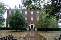
44 National Register listings published here.
Sources: the National Register database, National Park Service
54 topographic sheets and 7 fire insurance atlases across 1 place.
44 National Register listings published here.
Sources: the National Register database, National Park Service
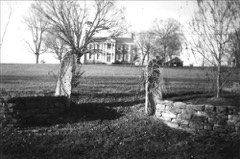
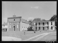
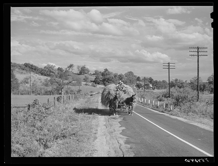
Taken for the Office of War Information and the Farm Security Administration, who photographed the country between 1935 and 1944. Works of United States government photographers, with no known restriction on use. Each opens its catalogue record.

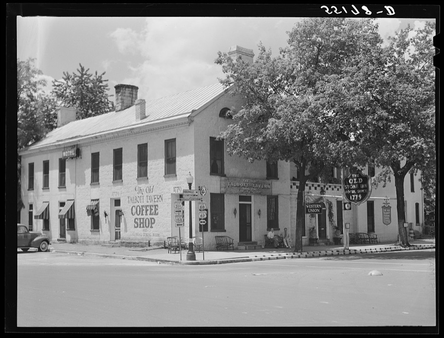
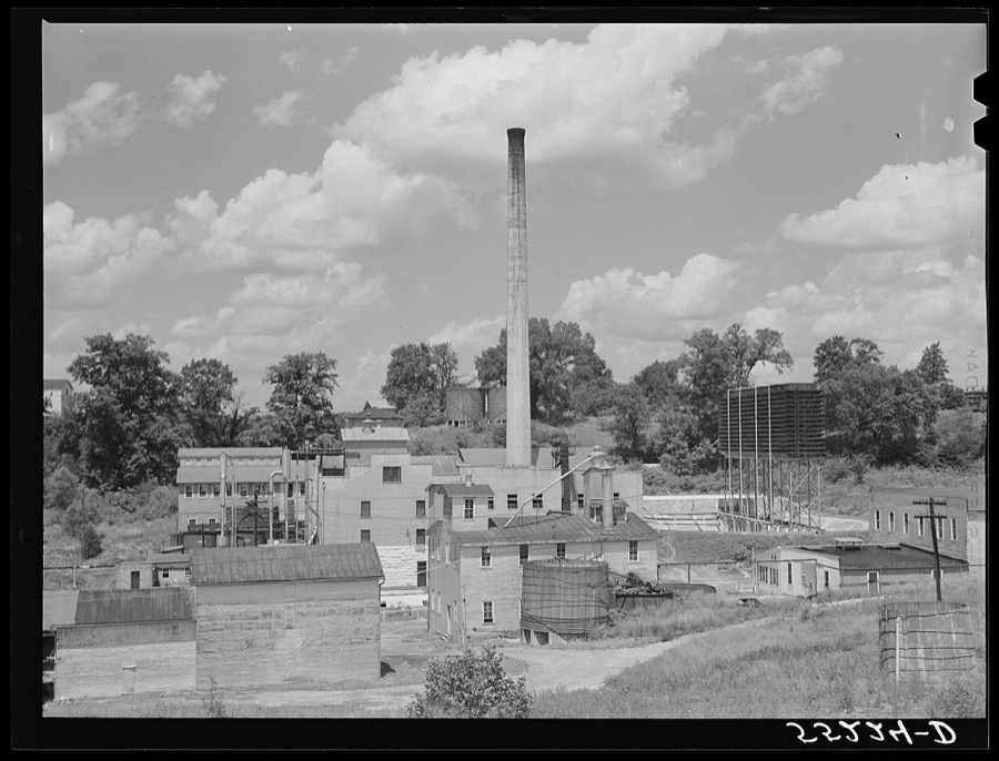
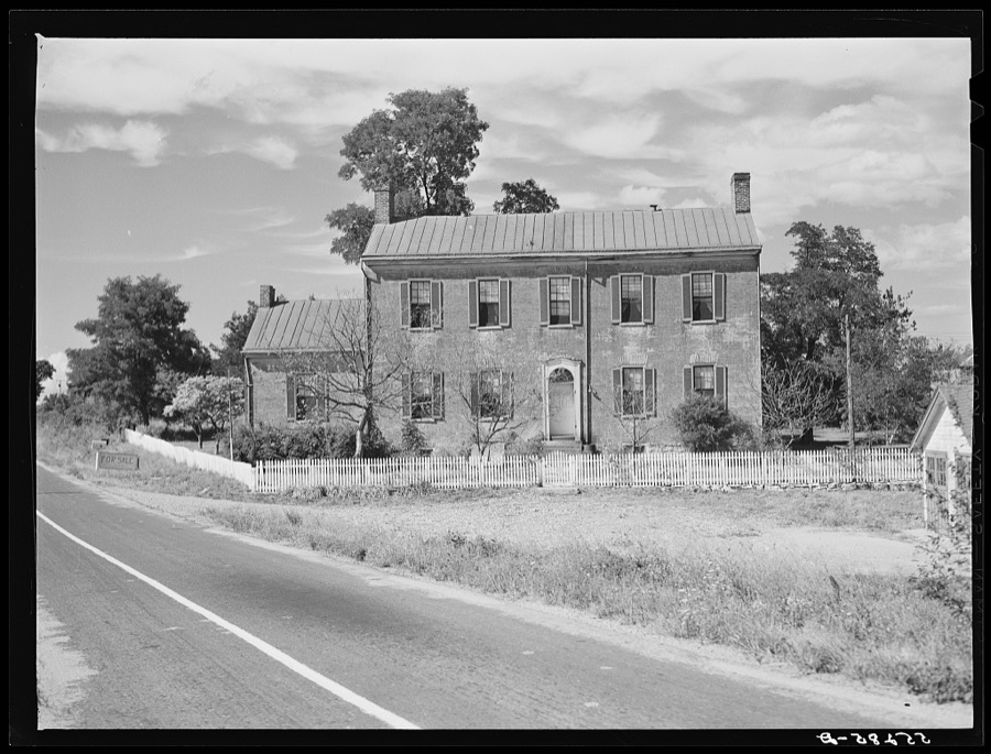
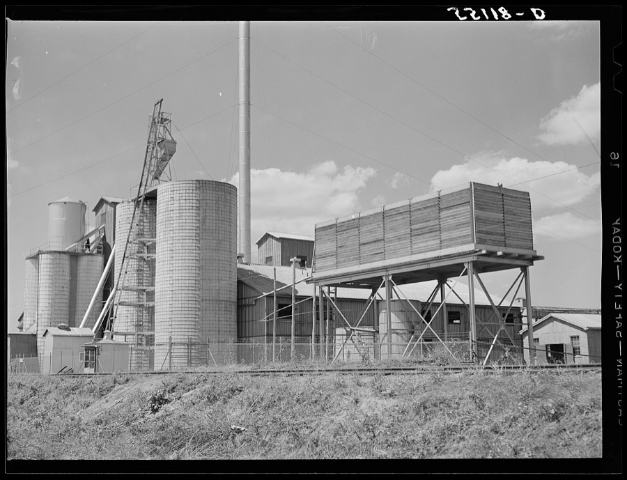
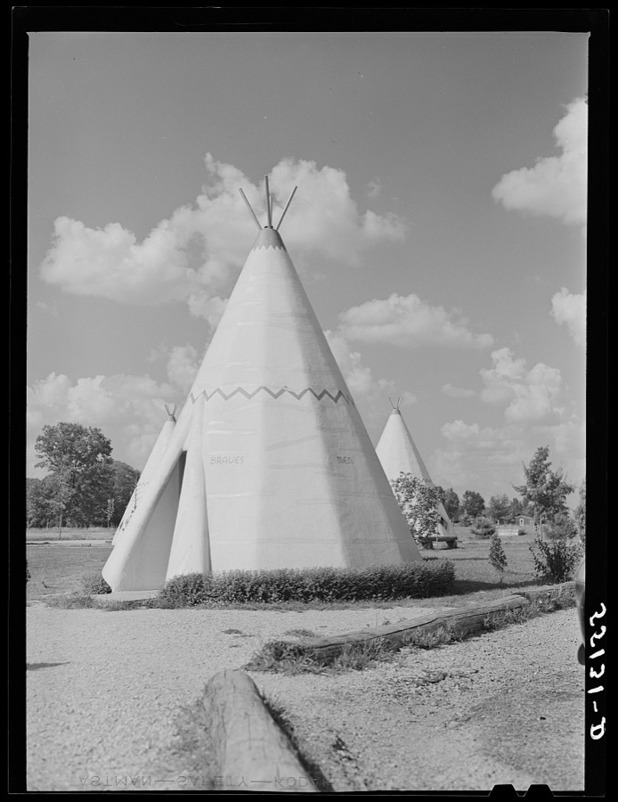
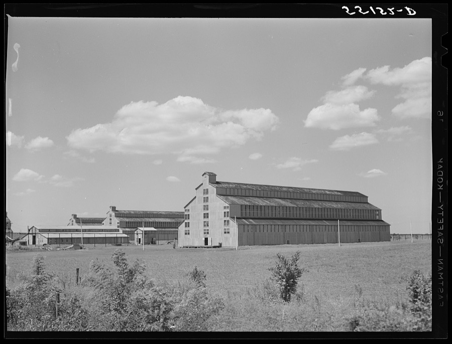

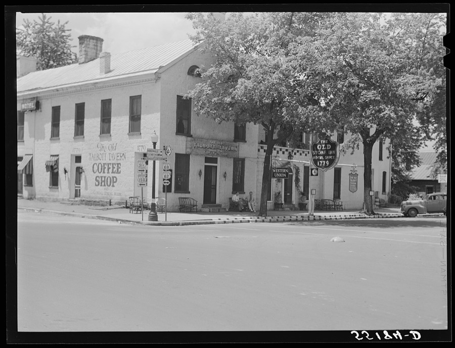
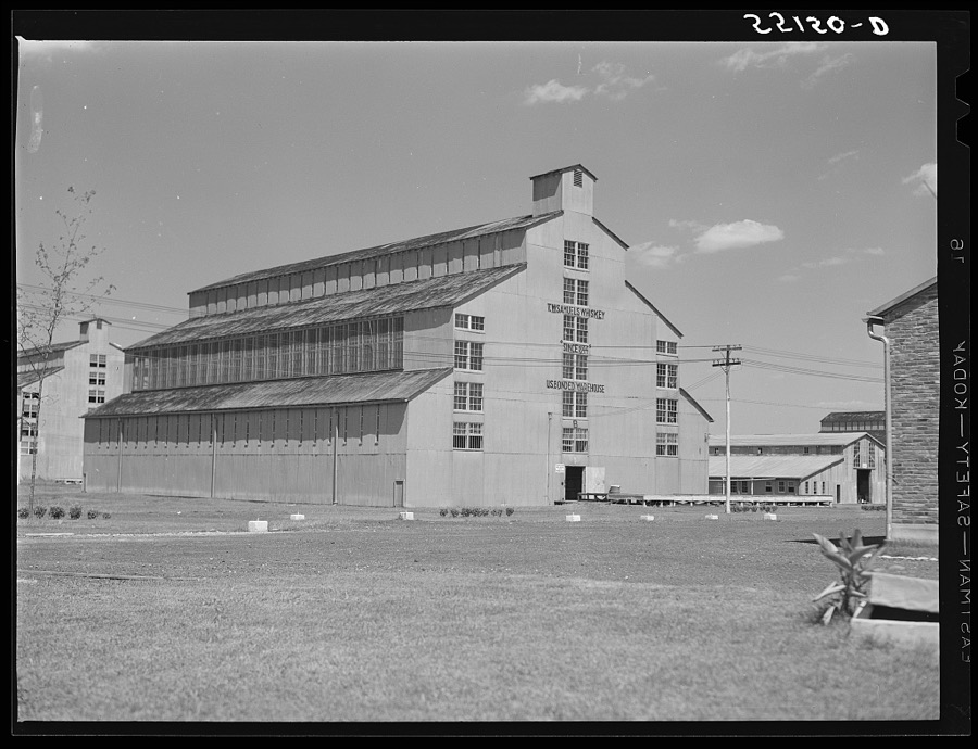
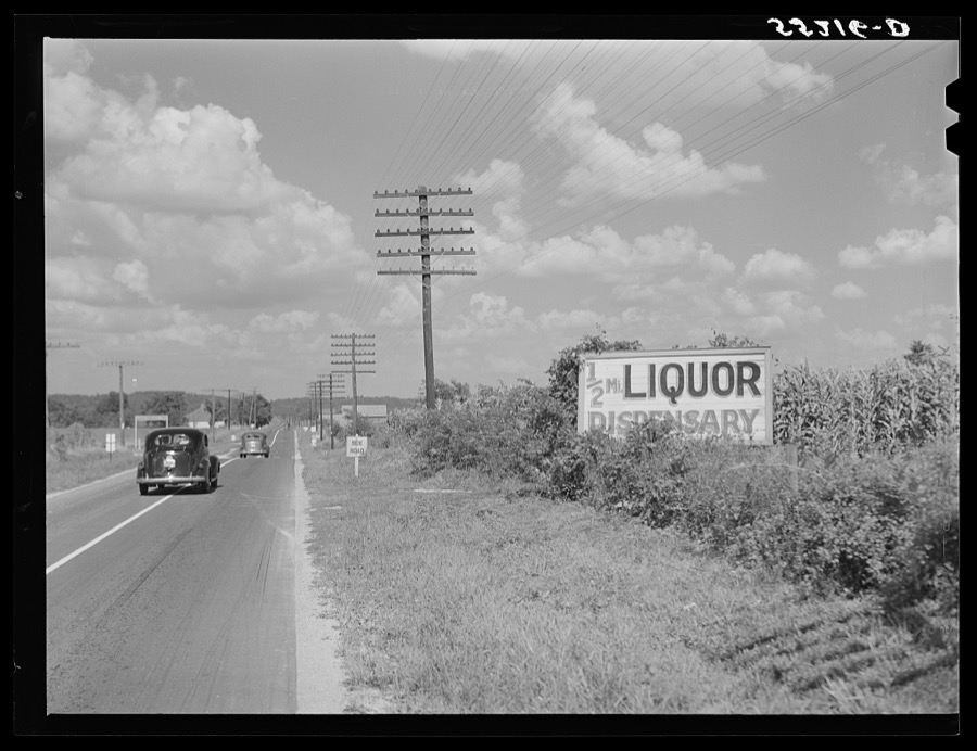
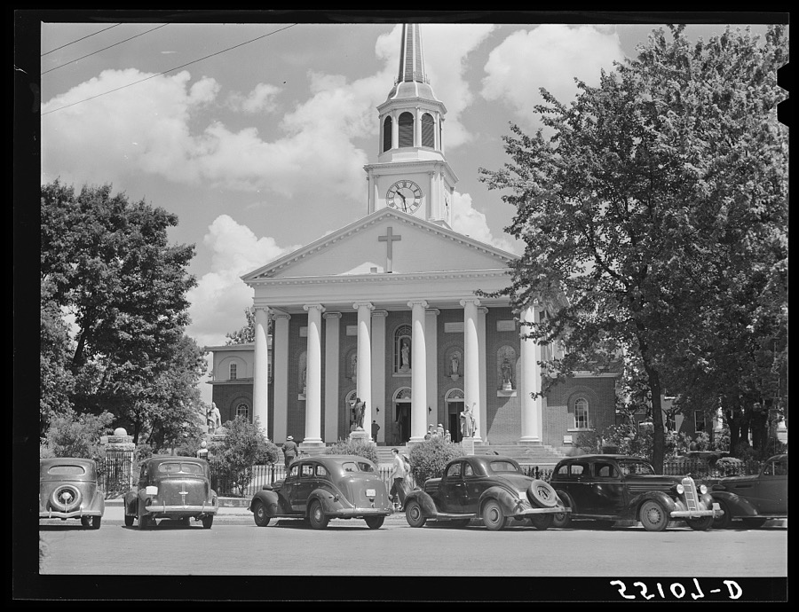
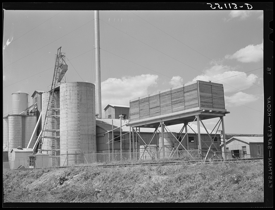

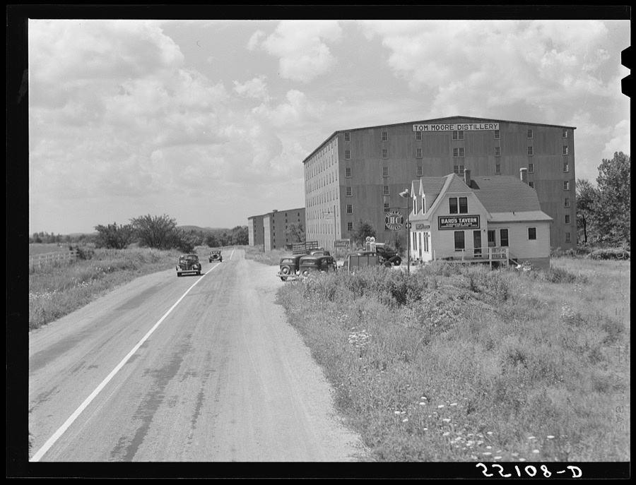
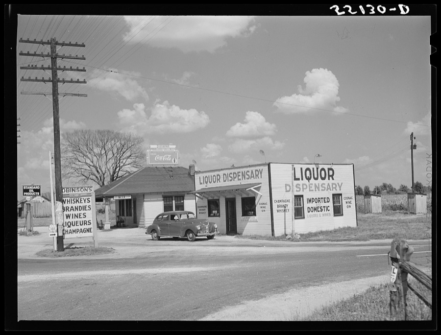
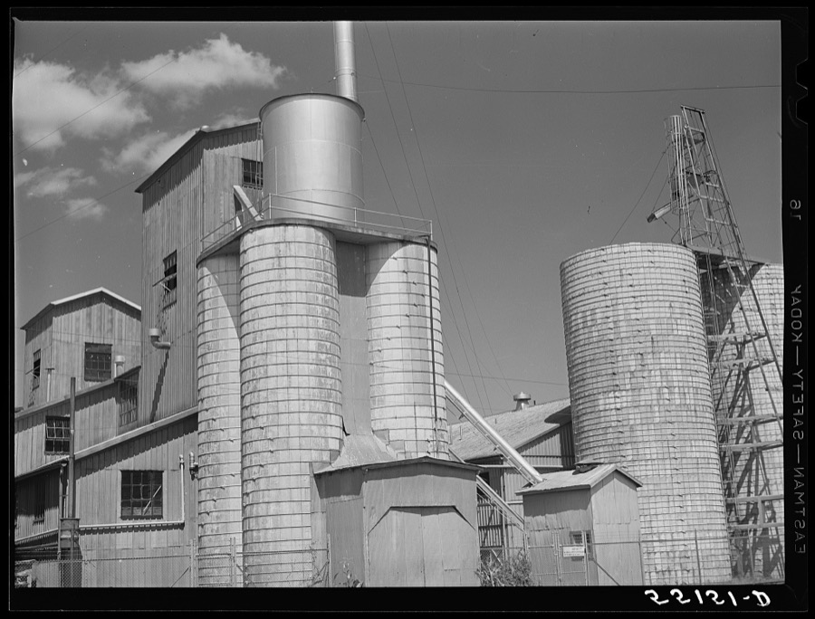
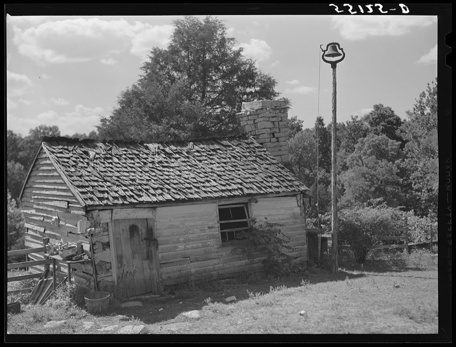
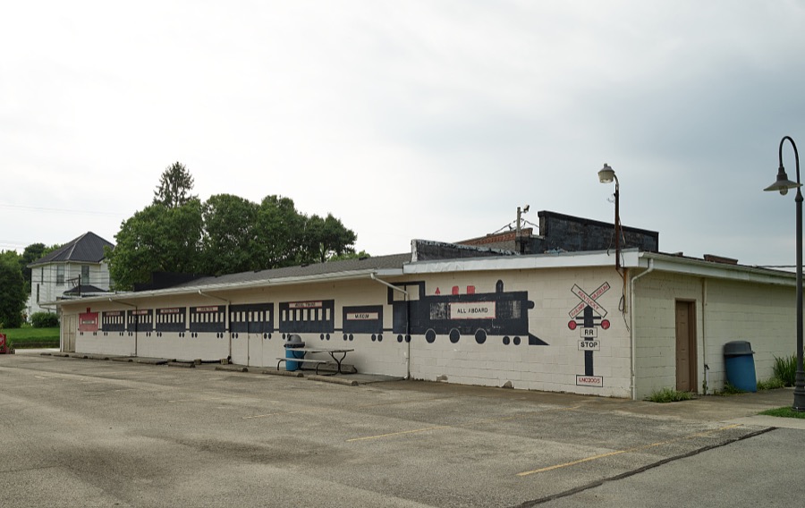
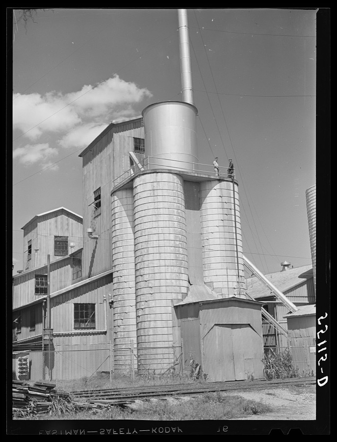
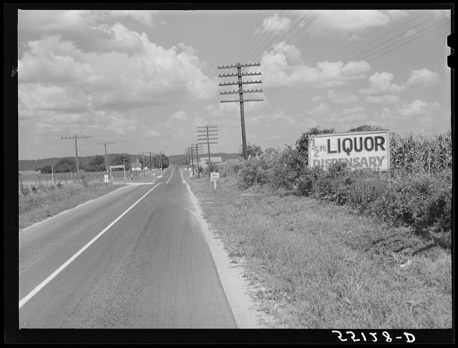
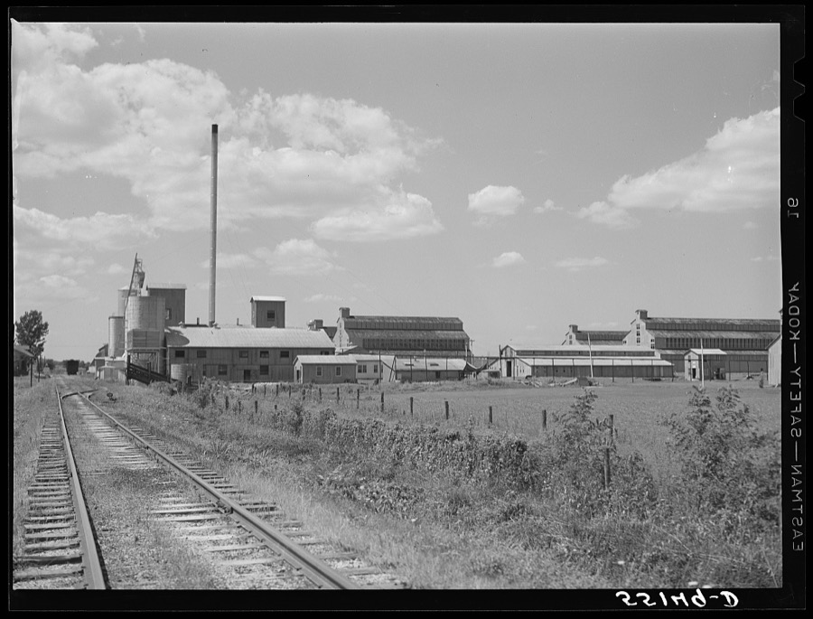
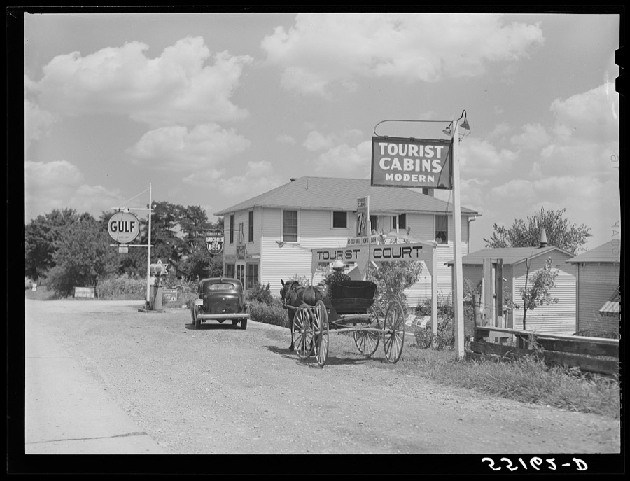
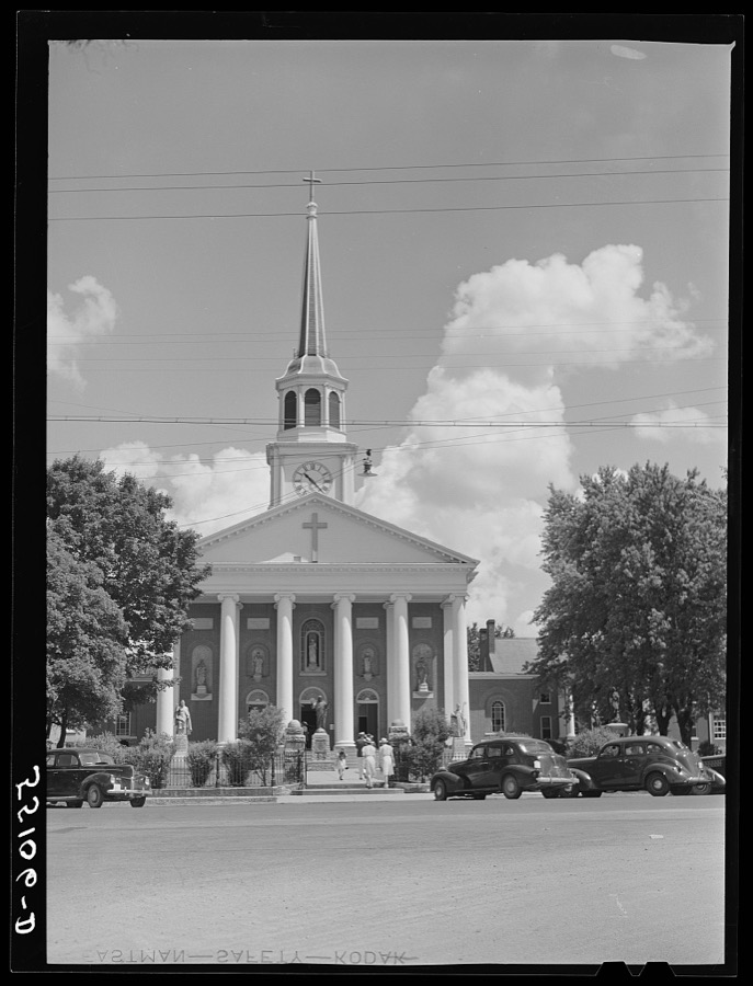
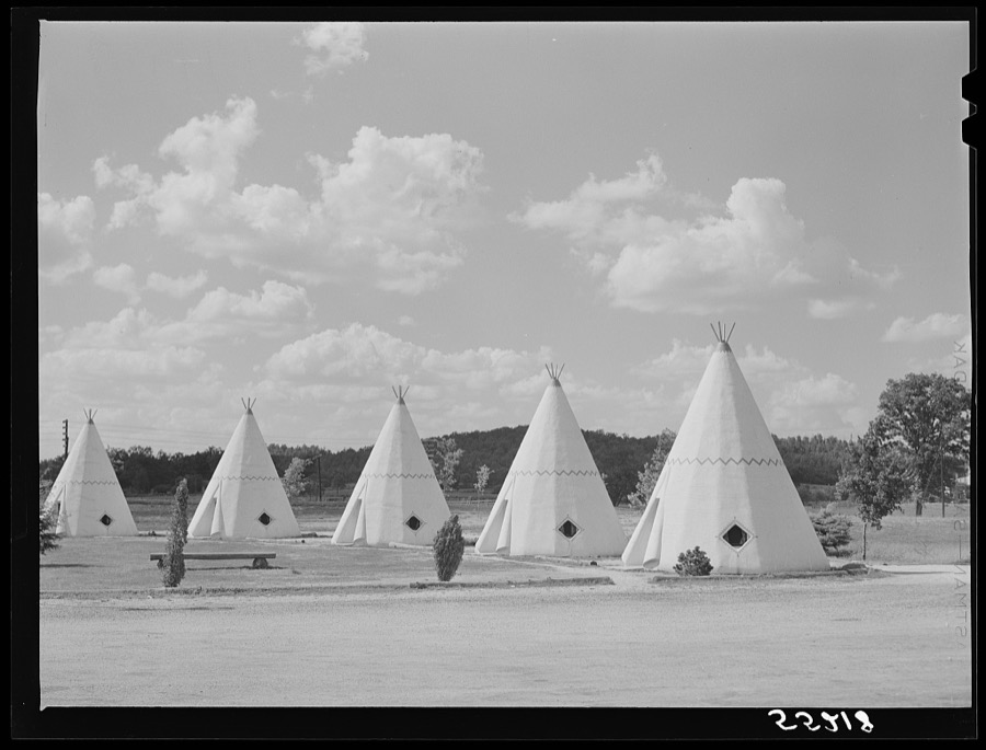
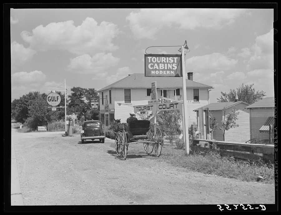
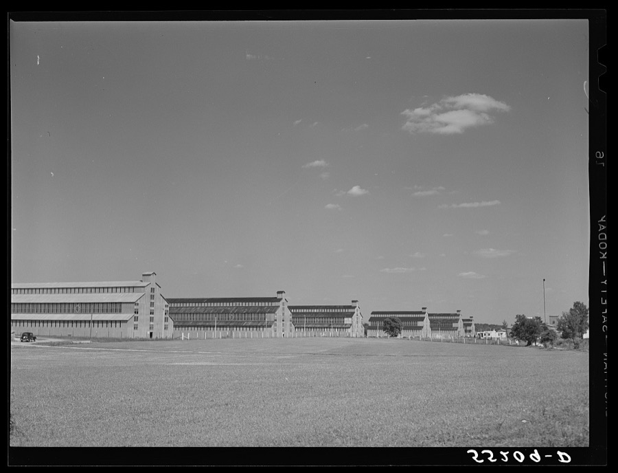
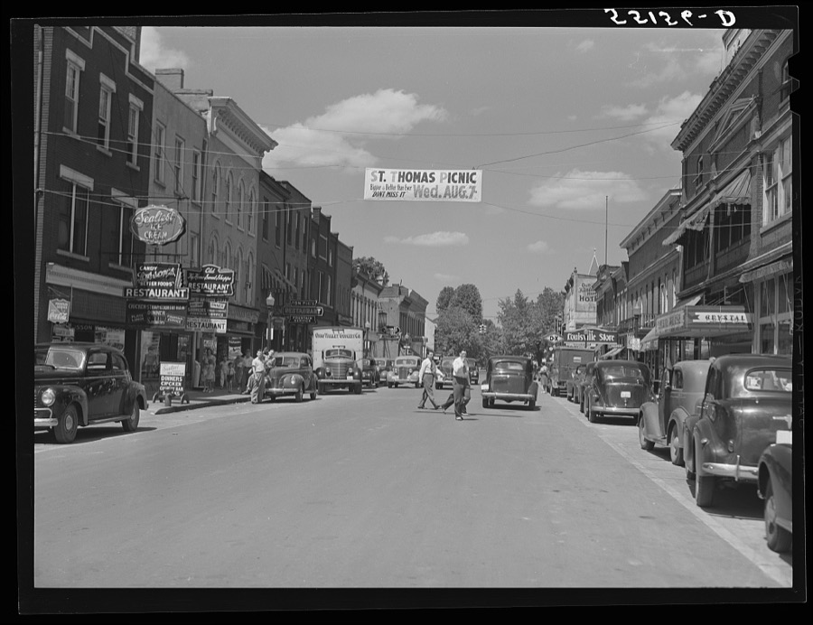
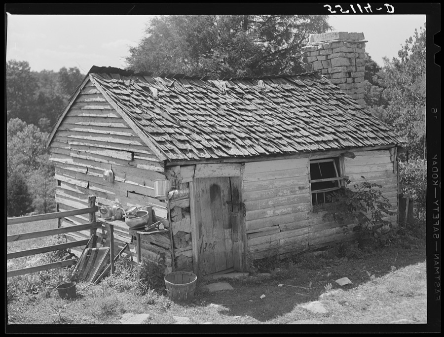
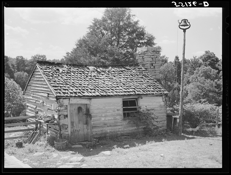
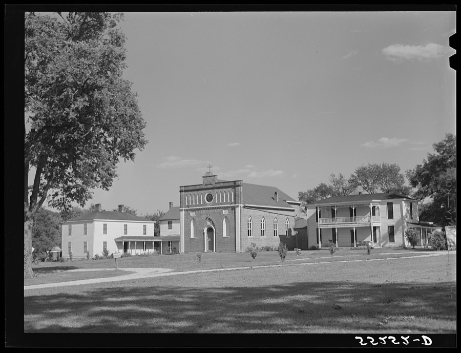
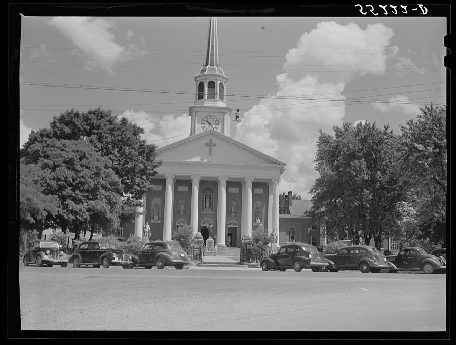
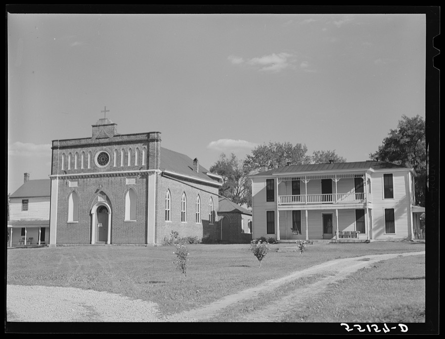
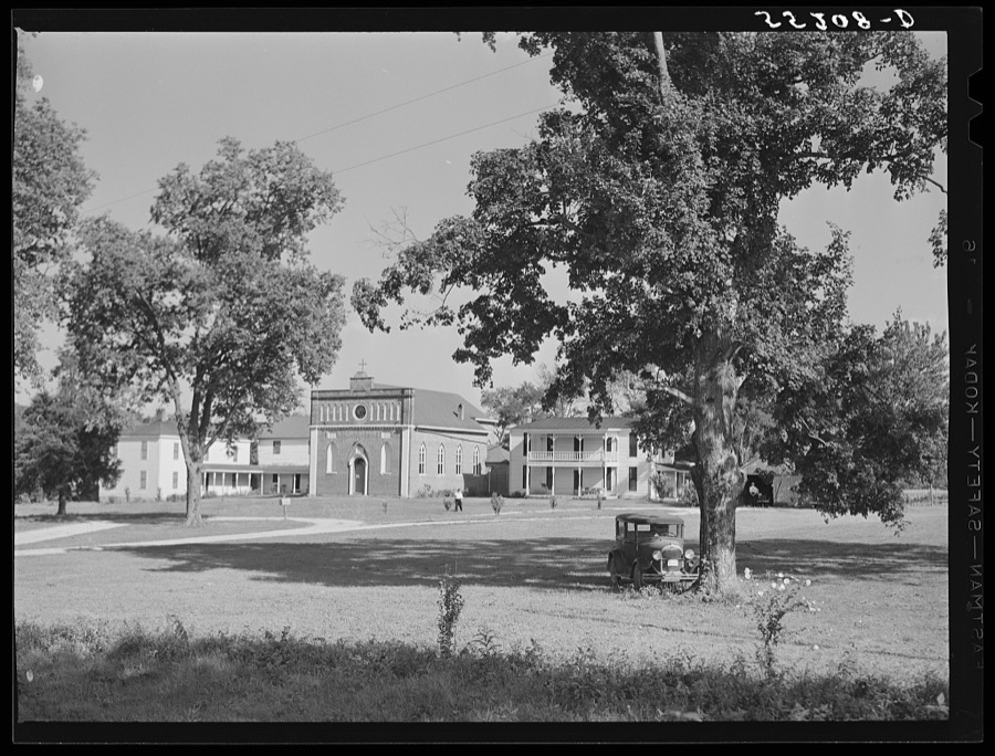


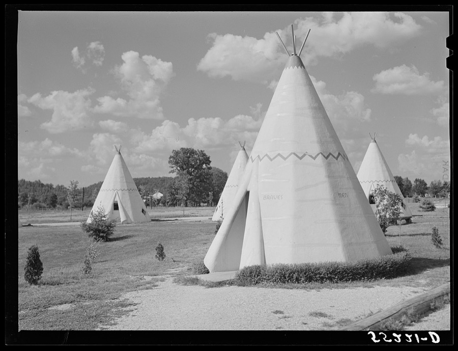
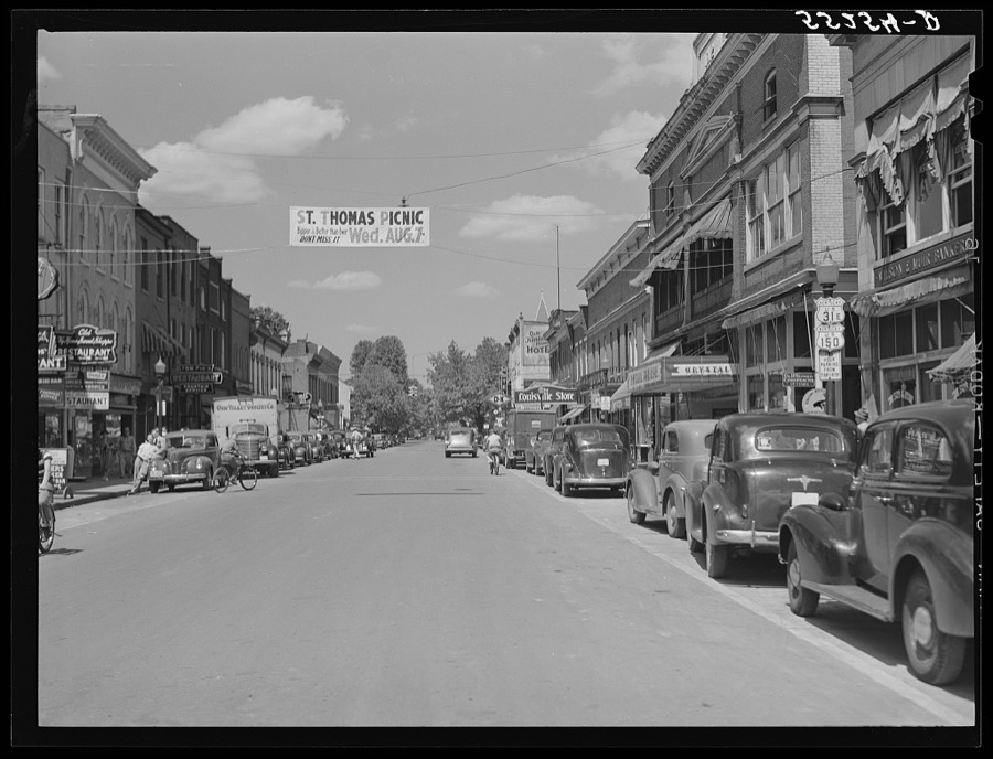
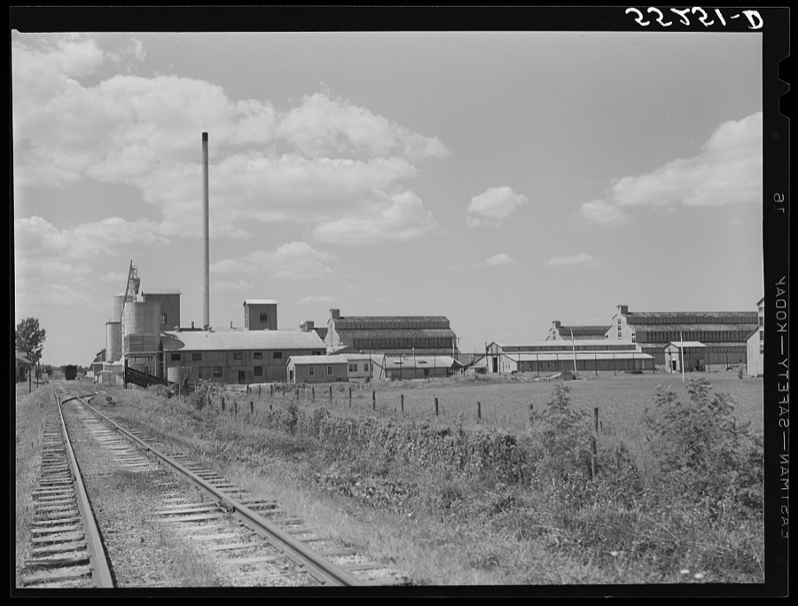
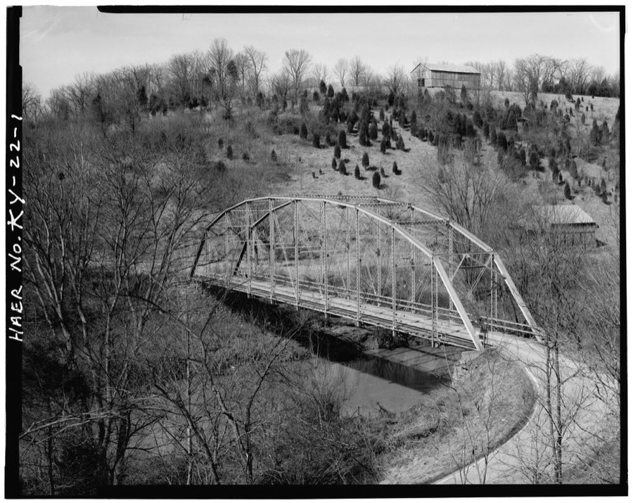
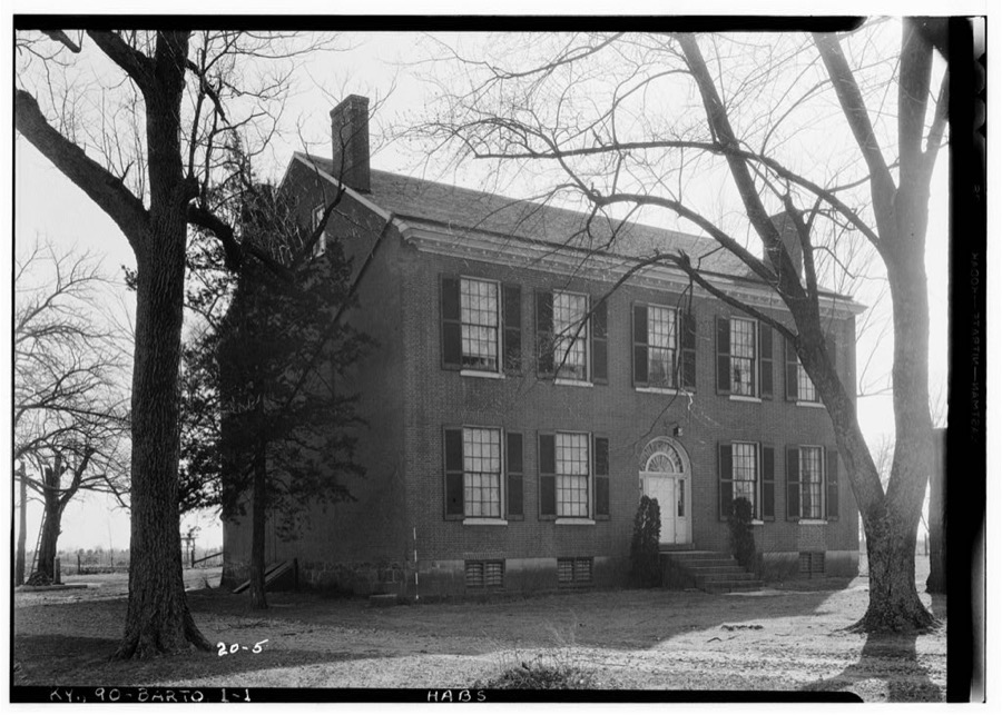
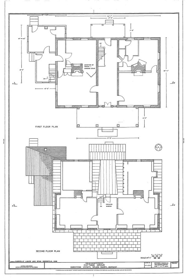

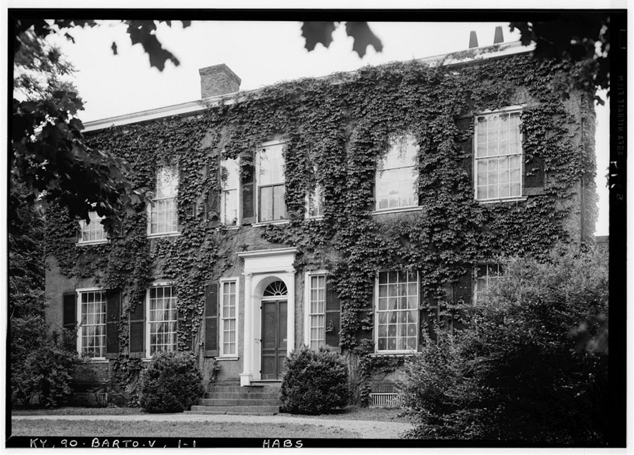
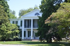
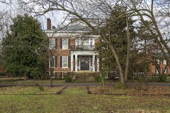
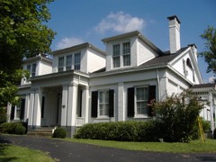
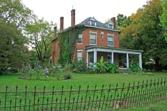
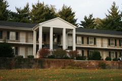
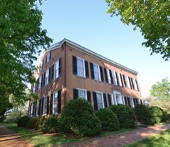
Every property in this county listed on the National Register of Historic Places, with the year it was listed and the federal nomination document.
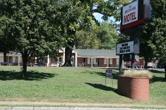
Selected from the Digital Public Library of America's 2 image records catalogued for this county. Every one shown here carries a public-domain status or a licence that permits reuse on a site that carries advertising; non-commercial, share-alike and restricted images are excluded. The selection is spread across the county's towns (at most eight per town), so no single institution's bulk upload crowds out the rest. Each opens the holding library's record, and the complete set at the Digital Public Library of America is one click away.
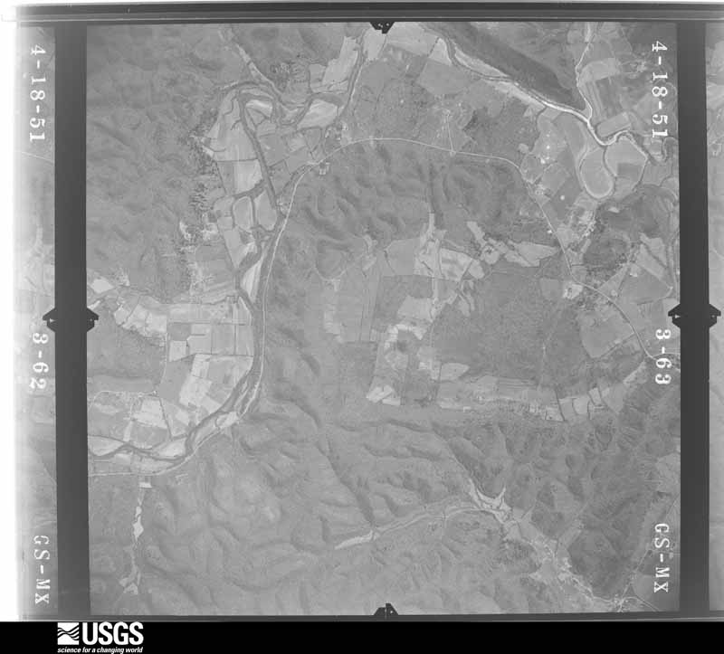
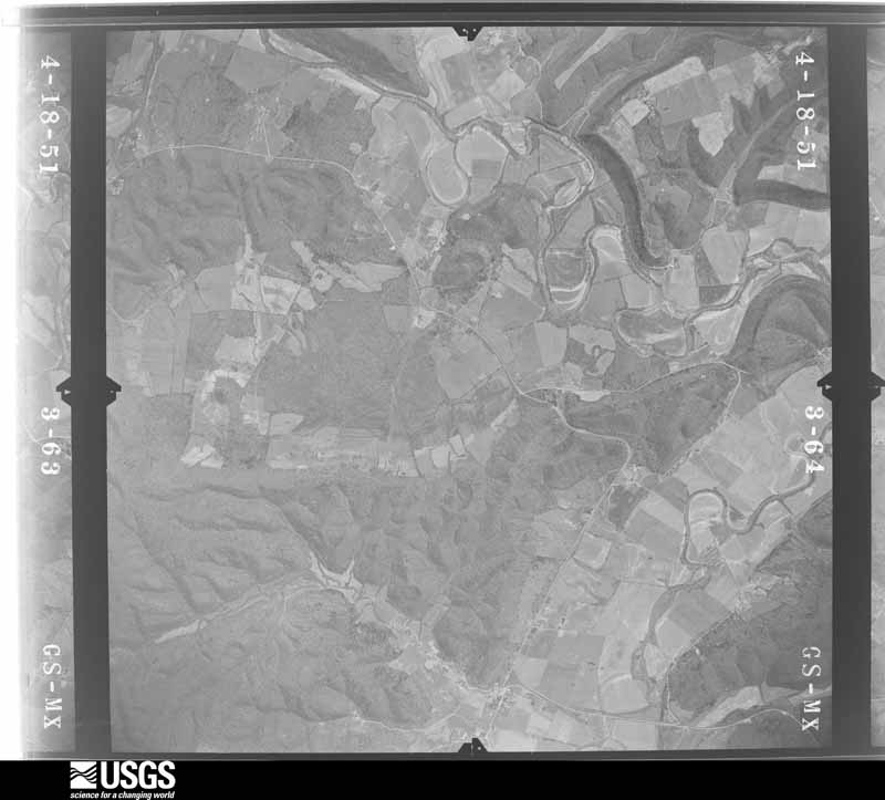
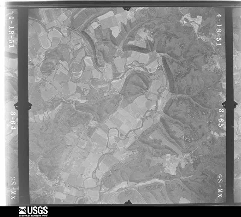
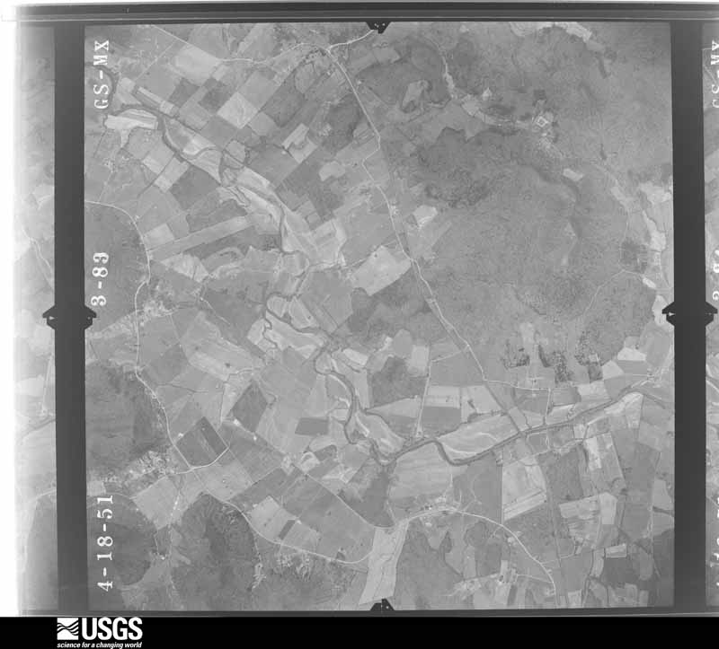
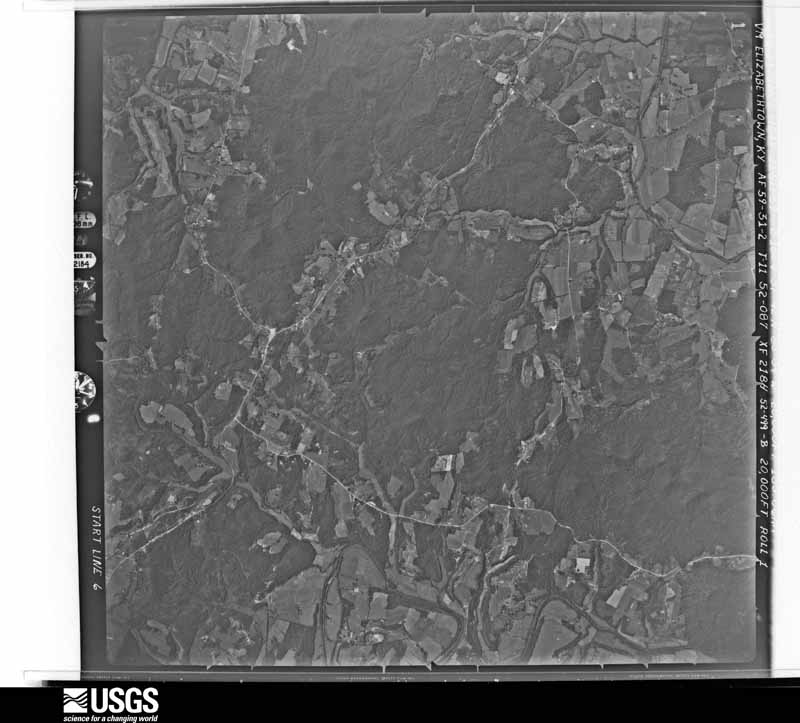
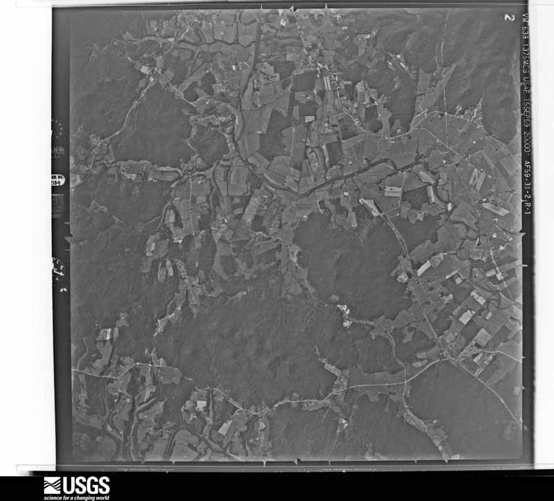
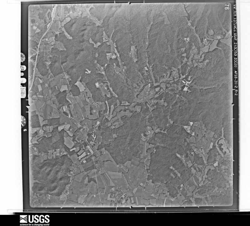
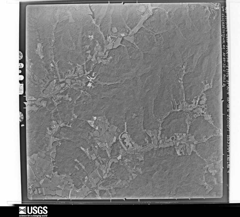
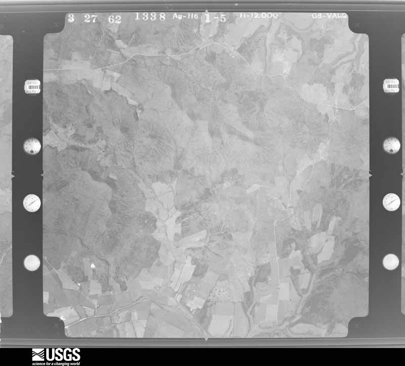
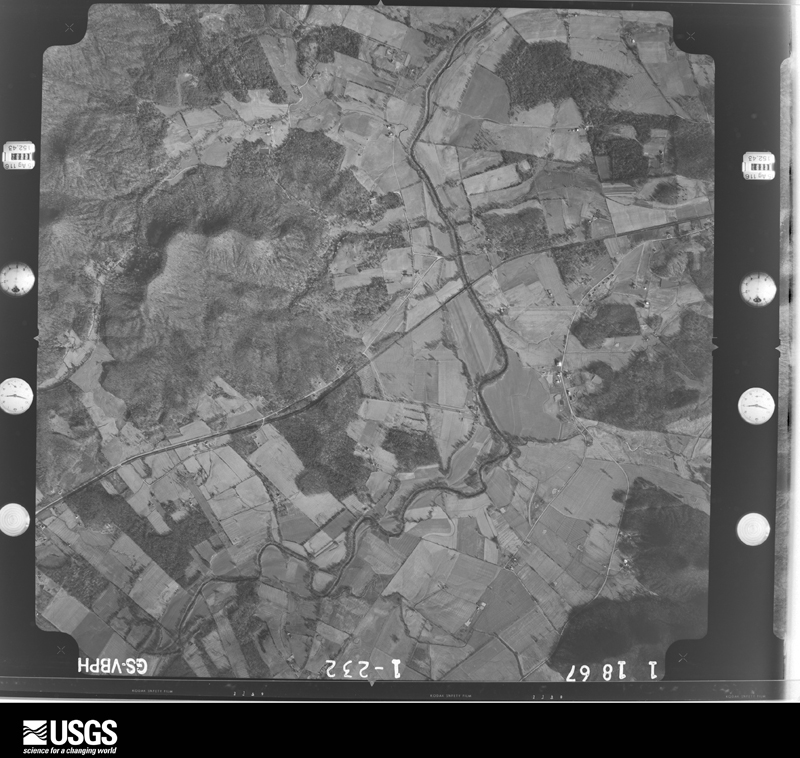
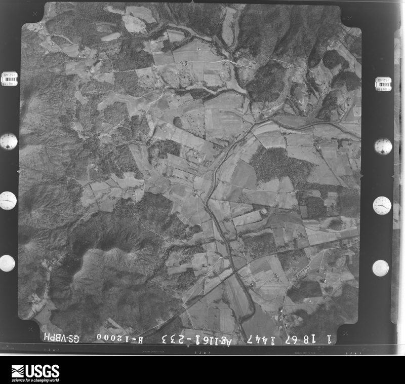
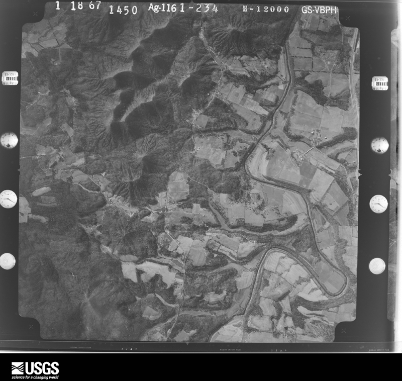
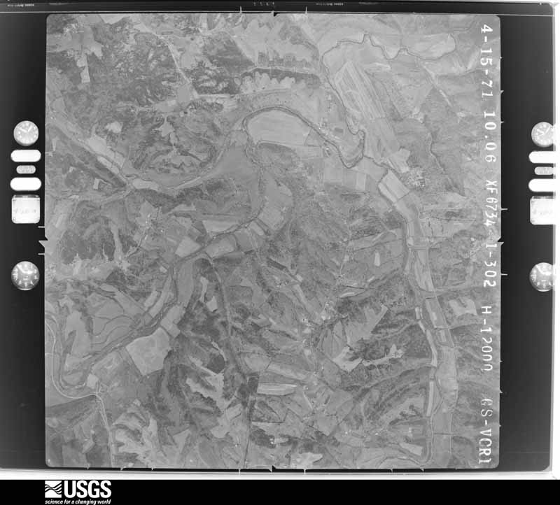
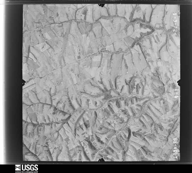
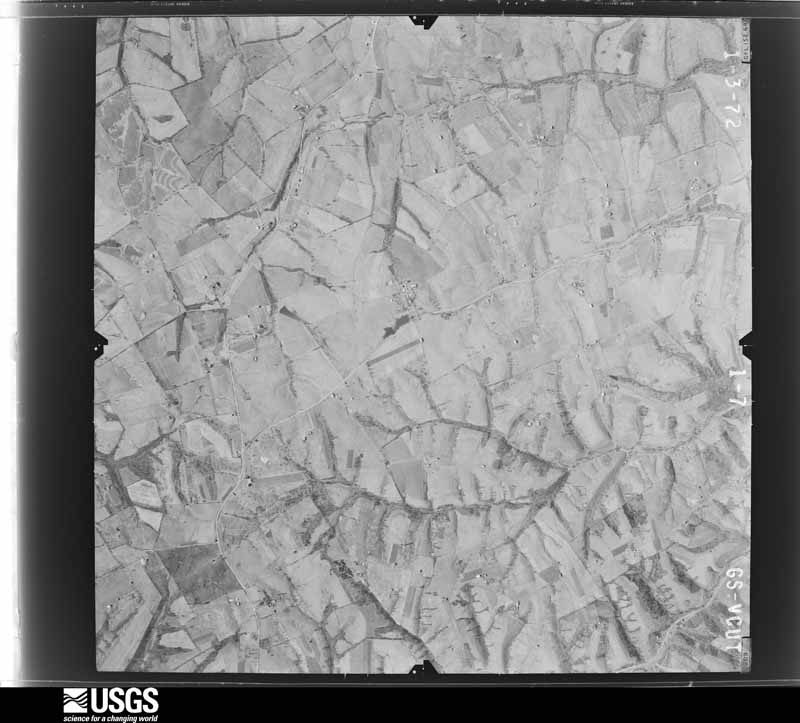
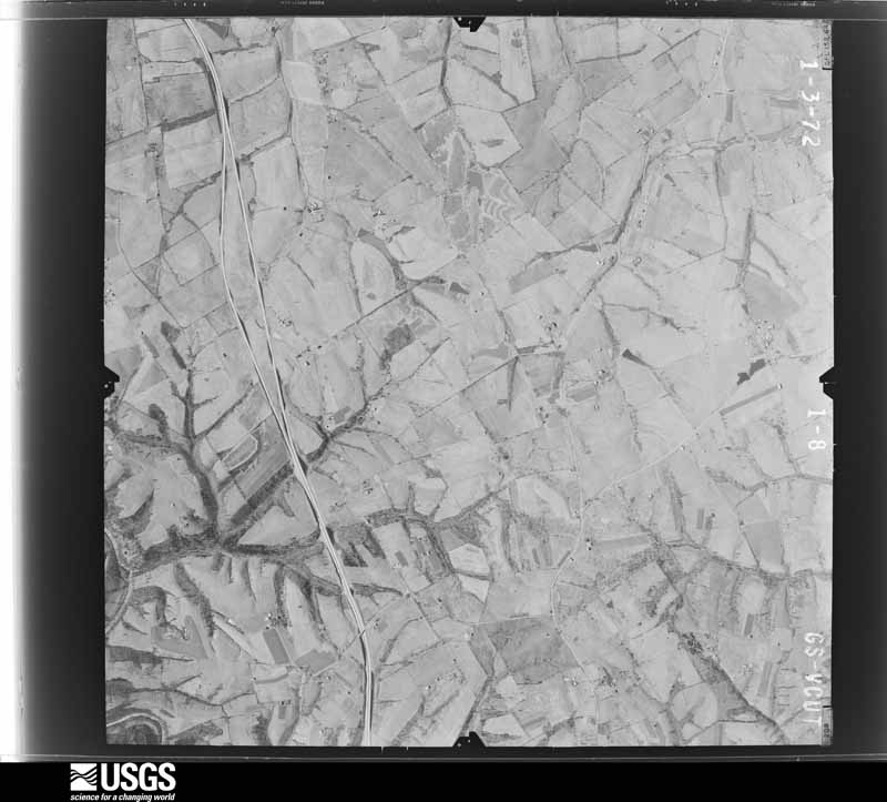
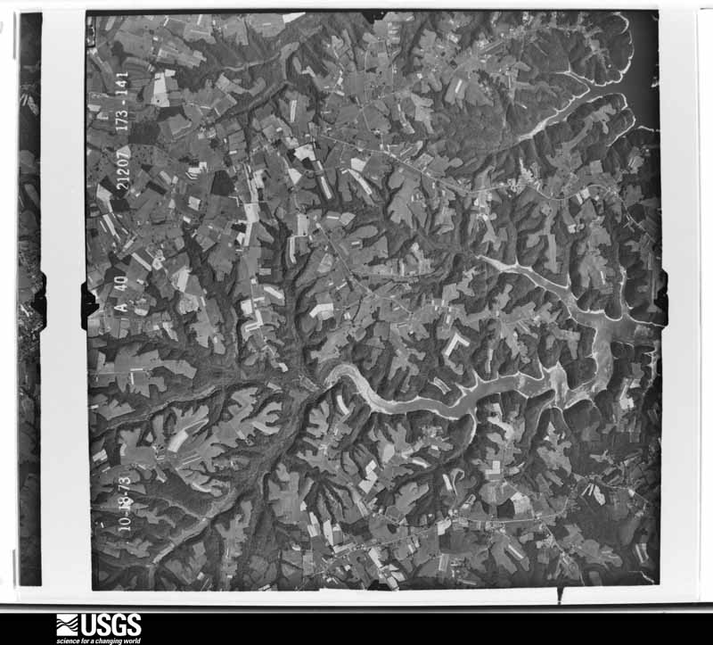
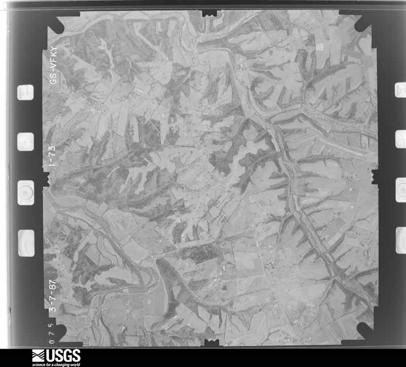
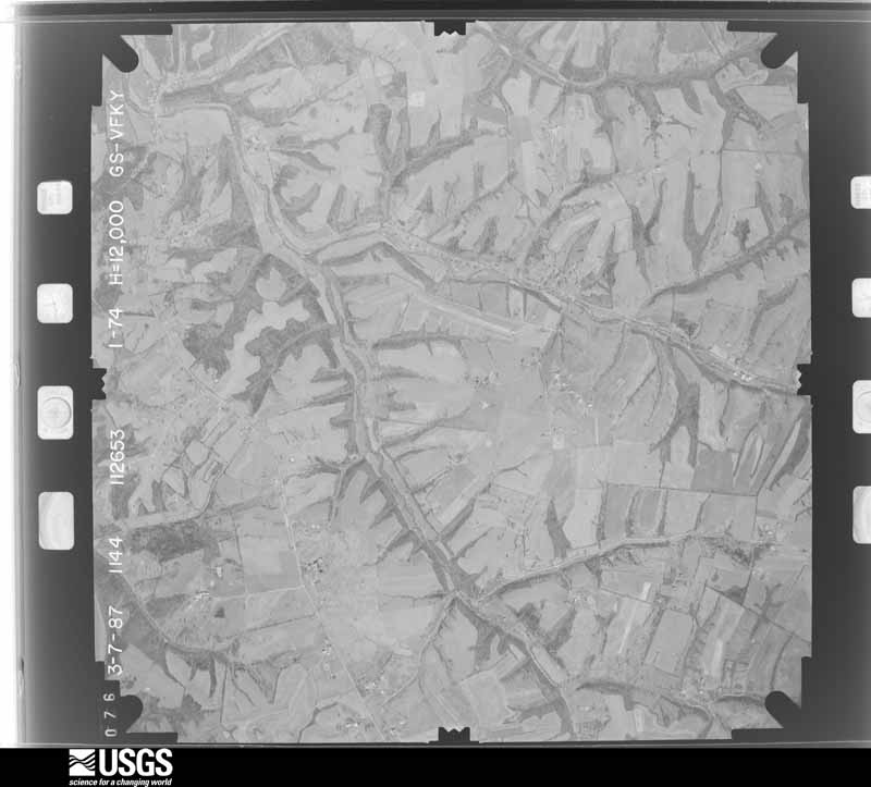
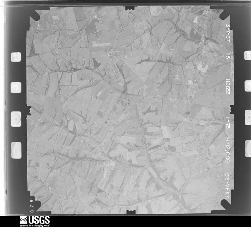
Flown by the U.S. Geological Survey between 1937 and 1989, the Aerial Photo Single Frames collection is the definitive mid-century view of the land: fields, roads and rivers as the camera saw them. The Survey holds 1,143 frames inside the rectangle that bounds this county; the 26 frames below were taken over the county itself, chosen across the decades of flights (at most four a year from that rectangle), so one flight cannot crowd out the rest. The full set is free to browse and download at EarthExplorer under the dataset Aerial Photo Single Frames.
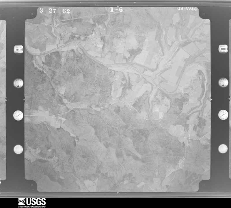
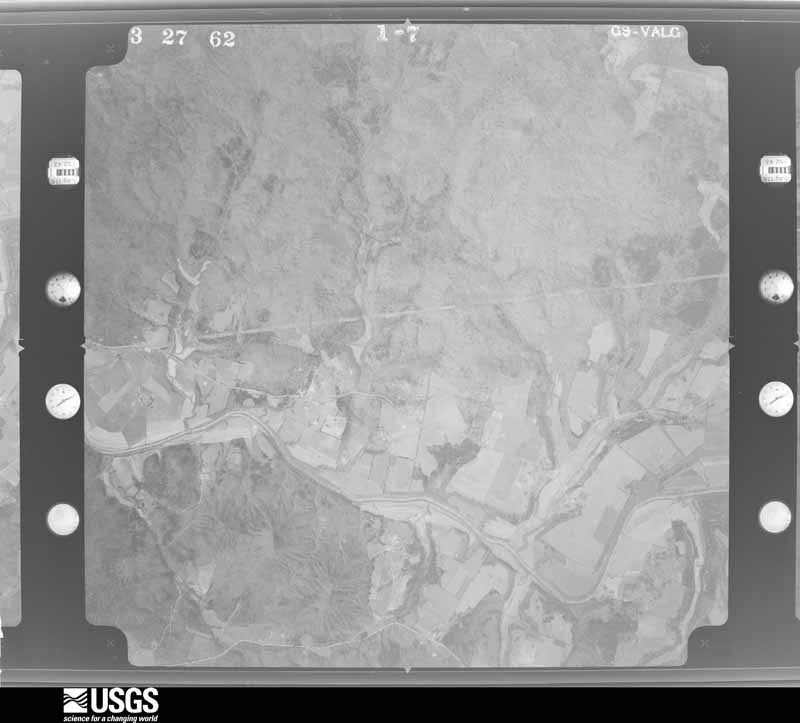
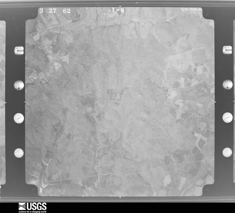
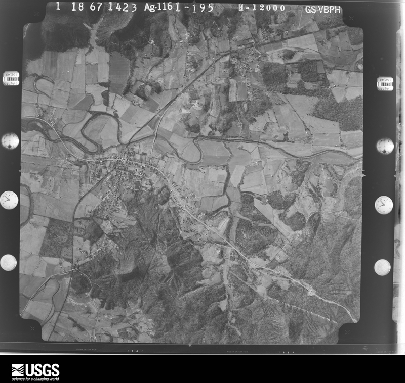


The thermometers that kept this county's weather, and the gages that measured the flow of its streams, as the federal records hold them. The extremes below are measured values from those records, not estimates.
Who lived here in 1950, one enumeration district at a time, as the Census Bureau described each district. Each row opens its official National Archives result, with Population Schedules and ED Maps available there.
Every wildfire the federal occurrence database records inside this county: 63 of them, burning about 589 acres. None started naturally and 1 was recorded as arson. Each settlement page carries the fires within five miles of it.
| Reported cause | Fires |
|---|---|
| Missing data/not specified/undetermined | 21 |
| Recreation and ceremony | 21 |
| Debris and open burning | 13 |
| Misuse of fire by a minor | 3 |
| Smoking | 2 |
| Equipment and vehicle use | 1 |
| Railroad operations and maintenance | 1 |
| Arson/incendiarism | 1 |
The five largest, by the area the report gives. None of them was recorded as arson.
| Date | Cause | Size | Reported by | Name on the report |
|---|---|---|---|---|
| 12 April 2018 | Debris and open burning | 95 acres | Kentucky Division of Forestry | HURRICANE HILL FIRE |
| 12 November 2005 | Missing data/not specified/undetermined | 92 acres | Kentucky Division of Forestry | not named |
| 30 November 2013 | Recreation and ceremony | 75 acres | Kentucky Division of Forestry | ROGERS |
| 27 September 2019 | Railroad operations and maintenance | 50 acres | Kentucky Division of Forestry | DEATSVILLE |
| 3 April 2011 | Debris and open burning | 45 acres | Kentucky Division of Forestry | WHEELER FIRE |
| 11 April 1997 | Debris and open burning | 20 acres | Kentucky Division of Forestry | not named |
| 13 April 1998 | Missing data/not specified/undetermined | 15 acres | Kentucky Division of Forestry | not named |
| 11 March 2001 | Debris and open burning | 15 acres | Kentucky Division of Forestry | not named |
Every settlement page carries the fires within five miles of it - see the settlement index below.
The NOAA Storm Events Database holds 331 reports for this county, causing 8 deaths, 32 injuries and about $2,385,000 in recorded property damage. Each settlement page carries the reports that name it.
| Kind of event | Reports |
|---|---|
| Thunderstorm Wind | 181 |
| Hail | 72 |
| Flood | 36 |
| Flash Flood | 27 |
| Tornado | 11 |
| Lightning | 3 |
| Heavy Rain | 1 |
The most serious of them, by death, then injury, then recorded damage. The accounts are quoted exactly as the forecast office filed them.
| When | Event | Place named | Harm | What the report says |
|---|---|---|---|---|
| December 2013 | Flood | Gethsemane | 3 killed, 2 hurt, $15,000 | The Nelson County emergency manager confirmed that 3 out of 5 occupants of an SUV died after it ran into water covering a low water crossing on Dee Head Road, which is located around 2 miles southeast of New Haven. Two people were rescued, but 3 drowned within the SUV. Heavy rain throughout the day on the 21st caused rapid rises in area creeks and streams. The vehicle was washed away at this crossing at around 3 am local time on the 22nd of December. |
| August 2000 | Lightning | New Haven | 2 killed, $25,000 | During the early morning hours of Thursday August 24, 2000, a complex of thunderstorms across South Central Indiana moved south into North Central Kentucky. The area of thunderstorms produced very heavy rain, locally strong winds and frequent lightning. A lightning strike apparently started a fire in a mobile home around 2 AM EST, possibly after striking near a propane tank. Two females, ages 7 and 9, were killed in the mobile home, apparently due to smoke inhalation. |
| April 1974 | Tornado (F4) | Bardstown | 1 killed, 24 hurt, $250,000 | no account filed |
| November 2011 | Flood | Culvertown | 1 killed, $15,000 | A man died during the evening of November 29th, when he drove his vehicle around a barricade and attempted to cross a flooded low spot in the road where Bull Run Creek crosses Kentucky State Highway 46. He lost control of his vehicle and hit another vehicle already disabled in the flood water, then drowned when his vehicle was washed off the road and submerged. |
| April 2025 | Flash Flood | Nelsonville | 1 killed, $10,000 | At 3:40 am, Nelson County Dispatch was notified of a water rescue on the 2800 block of Nelsonville Road. When responders reached the car, the 74 year old female driver was deceased inside. |
| February 2008 | Tornado (EF2) | Woodlawn | 2 hurt, $250,000 | The tornado destroyed or heavily damaage two shop buildings at a construction company. A couple trailers on the company site were rolled over. Farther along the tornado's path, it knocked a mobile home off the foundation, and rolled it over two nearby cars. Two occupants of the mobile home were injured. |
| March 1986 | Tornado (F1) | not stated | 2 hurt, $25,000 | no account filed |
| July 2012 | Lightning | Bardstown | 1 hurt | Local emergency management reported that a person in Bardstown was injured by lightning. |
| May 1986 | Hail | not stated | 1 hurt | no account filed |
| May 2010 | Flood | Boston | $750,000 | The Rolling Fork River at Boston crested around 50.7 feet at 730 PM EST on May 4. Flood stage at Boston is 35 feet. Major flooding occurs at this level, with water in businesses and homes in Boston and New Haven. |
| April 2020 | Tornado (EF1) | Fairfield | $200,000 | The tornado initially touched down on the northwest side of a large family home and farm on Fairfield Road. The upper part of the roof of a two story home was lifted off and thrown in various directions. Several large 2x10s and 2x8s were impaled in the ground about 50 yards from the barn. Two trees on the property sustained extensive twisting and several large section of the trees were snapped. The tornado at this point was only 35 yards wide with wind speeds of 95 mph. The owner of the house was upstairs sleeping, when he heard his ears popping, then a large roar of wind on top of the house and bricks fell on his bed. Surprisingly he sustained no injuries. The tornado then moved across a mixture of open farm fields and scattered forest. There is a significant swath of tree damage between Fairfield Road and Murrays Run Road, with trees uprooted, snapped, and twisted. Thanks to a nelson county drone you could clearly see trees laying in multiple directions. ||The tornado hit a property on Murrays Run Road ripping off the sides of a large well-built barn. The back part of the barn was thrown to the west while a wagon in the trailer was pushed out through the barn. A 72' x 12' shed next to the barn was destroyed. Parts of that barn were impaled into the ground 75 to 80 yards down wind. The tornado was at its widest at 45 yards here with 95 mph winds. Another remarkable thing is the family house was only 60 yards from the damage path, and did not lose even a shingle on the house. Across the street the tornado did extensive roof damage to a family house and barn, uplifting several large parts of it. Debris from the barn was thrown up to 300 yards downwind and in many different directions. The family said that they heard all the doors in the house shut tightly and heard a distinct roar. The tornado produced sporadic damage across farmland mainly in terms of trees, with more concentrated damage along Plum Run Road. Cedar tree damage was rather extensive with many cedars being snapped and twisted. Winds were around 90 mph here with a width of 40 yards. The tornado destroyed an old barn on Chester Hahn Road but weakened to an EF-0 of 80 mph and ended with a few snapped trees before Dugan Lane. |
| July 2015 | Thunderstorm Wind | Bardstown | $100,000 | A NWS storm survey determined that a small microburst impacted Nelson County with the strongest winds estimated to be 95 mph. This resulted in the roofs of a bourbon warehouse facility to be blown off. |
| April 2008 | Flood | Boston | $100,000 | The Rolling Fork River at Boston crested at 43.6 feet around 930 AM EST on April 6. Flood stage at Boston is 35 feet. Moderate flooding occurs at this level, with a few homes and trailers flooded outside of Boston. |
| September 2006 | Flash Flood | Countywide | $75,000 | Rowan Creek near Bardstown went out of its banks. It started to wash away the foundation from a modular home, and a family of three had to be rescued by a Nelson County swift-water rescue team. A motorist was rescued on Murray's Run Road near the bridge across Cox's Creek. Her car stalled when she attempted to drive through high water. No injuries were reported in either rescue. |
| February 2008 | Tornado (EF2) | Nelsonville | $50,000 | A long swath of wind damage showed signs of an intermittent embedded tornado. The tornado destroyed an outbuilding, and knocked the top half off a silo. Near Patton Road, there was an enhanced area of tree damage, with the trees laying in a convergent path, consistent with tornadic damage. |
| May 1995 | Thunderstorm Wind | not stated | $50,000 | A car catches fire and is totaled when a tree is blown down the car. The driver managed to escape. |
| May 1995 | Thunderstorm Wind | New Haven | $50,000 | Three roofs damaged by thunderstorm winds. |
| February 1993 | Thunderstorm Wind | not stated | $50,000 | Sixty-mph winds were reported in Bardstown. Trees and power lines were blown down. |
| March 1997 | Tornado (F0) | Bardstown | $50,000 | no account filed |
| March 2017 | Thunderstorm Wind | Coxs Creek | $40,000 | Trained spotters reported severe thunderstorm winds brought down utility poles. |
| July 2012 | Thunderstorm Wind | Boston | $40,000 | A strong downburst near the Nelson Bullitt County line brought severe damage to two mobile homes, a barn, and several trees. |
| July 2015 | Thunderstorm Wind | Bourbon Spgs | $30,000 | The Nelson County emergency manager reported that a roof was blown off a house on Hwy 31E between Bardstown and Cox's Creek. |
| May 2016 | Lightning | Bardstown | $25,000 | A fire was started by lightning at My Old Kentucky Home State Park. |
| August 2005 | Thunderstorm Wind | Bardstown | $25,000 | Several cars were damaged in a parking lot. Two sheds were destroyed. |
| March 1986 | Tornado (F1) | not stated | $25,000 | no account filed |
| August 1972 | Tornado (F1) | not stated | $25,000 | no account filed |
| May 1969 | Tornado (F1) | not stated | $25,000 | no account filed |
| June 2018 | Thunderstorm Wind | Early Times | $15,000 | A power line was reported down at Woodlawn Road and Spencer Mattingly Lane. |
| September 2010 | Thunderstorm Wind | Coxs Creek | $10,000 | The roof of a 30 foot by 40 foot block building was ripped off and thrown, along with large cinder blocks. Also, a large shed was thrown about 70 feet across a resident's yard. |
| July 2004 | Thunderstorm Wind | Bardstown | $10,000 | Part of a barn roof was blown off. Trees were downed. |
| September 2000 | Thunderstorm Wind | Bardstown | $10,000 | A tree was blown on to a house in northern Bardstown. |
| April 1998 | Thunderstorm Wind | Coxs Creek | $10,000 | Several roofs blown off houses and numerous trees down. Report relayed from local television station. |
| June 2018 | Thunderstorm Wind | Boston | $5,000 | A small shed was destroyed due to severe thunderstorm winds. |
| January 2008 | Thunderstorm Wind | Bardstown | $5,000 | Thunderstorm winds downed several trees. Some were blocking road, and one was on a car. |
| April 2007 | Thunderstorm Wind | Coxs Creek | $5,000 | Trees were downed and a garage sustained roof damage. |
| August 2003 | Thunderstorm Wind | Deatsville | $5,000 | A wooden structure at the entrance to a cemetery was blown down. |
| May 1998 | Thunderstorm Wind | Boston | $5,000 | no account filed |
| July 2011 | Thunderstorm Wind | Highgrove | $3,000 | A downburst brought some minor roof damage to a home near High Grove. Many limbs were downed nearby. |
| April 2000 | Thunderstorm Wind | Woodlawn | $2,000 | A barn was damaged and several trees were downed. |
| April 2026 | Thunderstorm Wind | East Bardstown | - | There was a metal roof torn off of a garage. |
| March 2026 | Thunderstorm Wind | Bellwood | - | The National Weather Service conducted a storm survey on Thursday, March 19th for the storms that occurred early Monday morning, March 16th. Straight line winds were determined to have occurred in Nelson County near the Bardstown area with max winds|of 80 MPH.||Damage to trees occurred along the Bluegrass Parkway southwest of Bardstown, including trees damaged in an isolated nature within Bardstown city limits. South of Bardstown there was damage to trees and some structure, including a building at the Nelson County Fairgrounds and a barn with extensive roof loss along Highway 31E. |All damage was facing to the northeast, which is consistent with the storm motion and indicative of straight line winds. No rotational signatures were observed by the survey team. |
| February 2026 | Hail | Deatsville | - | Hail was a little larger than quarter size. |
| March 2025 | Thunderstorm Wind | Bardstown Arpt | - | The wind gust was measured by the AWOS. |
| April 2025 | Tornado (EF1) | Greenbrier | - | An EF1 tornado, with maximum winds of 105 mph, tracked across an almost three mile stretch of eastern Nelson County during the early morning hours on Thursday, April 3rd. The tornado was on the ground for approximately three minutes and had a peak width of approximately 175 yards.||The tornado touched down along Roberts Road and did some damage to a residence and trees down within the Beech Fork basin. The tornado continued across Beech Fork near Turkey Ridge. Damage continued along a hilltop between Beech Fork and Pottershop Road, uprooting several trees. As the tornado approached Pottershop Road, significant damage was done to several barns and outbuildings, and large tree limbs were snapped. The most substantial damage that occurred in this area was to a small |outbuilding, where only one wall was left standing as debris from this building was thrown 100-200 yards downstream. An adjacent house only sustained minor fascia and soffit damage, although brick columns on one side of the house had slightly buckled due to the wind. Wind speeds in this area were estimated at 105 mph.||The tornado then crossed Pottershop Road and moved along Bear Creek Way for approximately three-quarters of a mile. Scattered instances of snapped or uprooted trees were observed along this stretch of the tornado s path, and several homes received minor roof damage. In addition, multiple barns and small outbuildings |received more significant damage, including one well- built barn which had its entire roof collapse. Damage in this area was consistent with EF1 tornado strength, generally between 90 and 100 mph.||The tornado continued to produce isolated to scattered tree damage between the end of Bear Creek Way and Manton Road as it continued to the east-northeast. Just past Manton Road, the tornado damaged multiple older barns, lean-tos and trees. Between |Manton Road and Borders Lane, the tornado lifted and no significant additional damage was found downstream. The damage at the end of the tornado s path was consistent with high-end EF0 and low-end EF1 levels, generally between 85 and 95 mph. |
| June 2025 | Flash Flood | Woodlawn | - | Water was flowing over Tom Greer Road. |
| June 2025 | Flood | Coxs Creek | - | Flooding was reported along Hobbs Lane. |
| April 2025 | Flash Flood | Greenbrier | - | There was flowing water over Loretto Road near Burba Road. |
| April 2025 | Flash Flood | Howardstown | - | Water was flowing over Howardstown Road near Cane Run. |
| April 2025 | Flash Flood | Greenbrier | - | Flowing water made Route 49 completely impassable. |
| April 2025 | Hail | Nazareth | - | Dispatch said up to quarter size hail fell on the north side of Bardstown. |
| April 2025 | Flash Flood | Fairfield | - | Water was flowing over Wilkerson Road near Plum Run Road. |
| February 2024 | Hail | Boston | - | Report came from mPing. |
| February 2024 | Thunderstorm Wind | Bellwood | - | Trees were down near Bluegrass Parkway. |
| February 2024 | Thunderstorm Wind | Culvertown | - | Trees were down on New Haven Road. |
| February 2024 | Thunderstorm Wind | Early Times | - | A large generator was overturned and drywall was thrown a quarter of a mile from a construction material warehouse. |
| February 2024 | Thunderstorm Wind | New Hope | - | There was a tree down on Gap Knob Road. |
| May 2024 | Thunderstorm Wind | Cravens | - | Trees were downed by strong winds in Nelson County. |
| April 2024 | Tornado (EF1) | Chaplin | - | The National Weather Service conducted a storm damage assessment survey in Nelson County from the storms mid morning, April 2. The tornado touched down between Maude Cooksey Lane and Hagan Lane, just northwest of Chaplin, in northeast Nelson County. Drone photography and a resident showed extensive tree damage in the|middle of a farmers field near several farmers ponds. Winds speeds were around 80 mph with a width of 75 yards. The tornado increased in speed to EF1 90 mph all along Hahn Ridge Road. 10 Barns had extensive roof damage, with debris spread to the|east through southerly directions and parts of the barn were thrown up to a half a mile downwind. The width increased to 125 yards. ||There was extensive tree damage along with significant structural damage to the Barndominium at KY 62 and Hahn Ridge Road on the north side of 62. This large barn garage structure, lost its entire side garage and was thrown several hundred yards to the east southeast. There were significant 2 by 4 and 2 by 8 boards impairments up to 300 yards downwind. Winds increased to EF1 95 mph with a width of 125 mph. There were trees uprooted and topped along Prather Ridge Road as the tornado continued to move to the east southeast. The tornado was consistently around 85 mph, EF0, with a width of 125 yards. There was uplift of two outbuildings along love Ridge Road, along with uprooted and topped trees. Winds speeds were around 85 mph with a width of |100 yards. The tornado was weakening as it crossed Kentucky 555 and the Chaplain River into Washington County. The EF1 tornado traveled a total of 5.02 miles before lifting just across the Washington County line. |
| July 2024 | Thunderstorm Wind | Nelsonville | - | A tree was blown down onto the Bluegrass Parkway near the Hardin County line. |
| July 2024 | Thunderstorm Wind | Balltown | - | A tree was blown down on Balltown Road. |
The Survey's mineral resources record lists 3 workings inside this county. 1 still produces and 2 are closed or unrecorded. Each settlement page carries the workings within five miles of it.
| Commodity | Workings |
|---|---|
| Stone, Crushed/Broken | 2 |
| Clay | 1 |
The least common of them first, because a county's hundredth gravel pit says nothing its first ten did not.
| Where | Site | Commodity | Status | Recorded |
|---|---|---|---|---|
| Blue Gap Roadcut | Clay | Prospect | ||
| Nelson County Highway Dept. | Stone, Crushed/Broken | Unknown | ||
| Nelson Quarry | Stone, Crushed/Broken | Producer |
Named settlements recorded in the Geographic Names Information System, each with the topographic sheets covering it. Villages, hamlets and abandoned places alike. Each is shown with the nearest named watercourse or landform and the survey quadrangle it falls on. The 1 place that was also surveyed for fire insurance comes first, with the number of atlases and photographs held for them.
Bardstown census division · 40004 · Near Federal Hill · Bardstown quadrangle
9 sheets, 1953 to 1981
Fire insurance: 7 atlases
Bardstown census division · 40004 · Near Rhodes Knob · New Haven quadrangle
9 sheets, 1953 to 1981
Bardstown census division · 40008 · On Nealy Run · Maud quadrangle
9 sheets, 1953 to 1981
No longer a settlement
Bardstown census division · 40004 · On Downs Run · Cravens quadrangle
11 sheets, 1949 to 1992
Bloomfield census division · 40008 · On Hinkle Creek · Bloomfield quadrangle
9 sheets, 1953 to 1981
Boston census division · 40051 · On Blue Gap Knob · New Haven quadrangle
9 sheets, 1953 to 1981
Boston census division · 40107 · On White Oak Branch · Lebanon Junction quadrangle
7 sheets, 1949 to 1981
Bardstown census division · 40004 · On Cane Run · Bardstown quadrangle
9 sheets, 1953 to 1981
New Haven census division · 40051 · Loretto quadrangle
8 sheets, 1953 to 1981
No longer a settlement
Coxs Creek census division · 40004 · On Samuels Creek · Fairfield quadrangle
7 sheets, 1953 to 1981
Boston census division · 40051 · Near Watson Knob · New Haven quadrangle
9 sheets, 1953 to 1981
New Haven census division · 40051 · On Monks Creek · New Haven quadrangle
9 sheets, 1953 to 1981
Bardstown census division · 40004 · Near Backbone Ridge · Loretto quadrangle
8 sheets, 1953 to 1981
Bloomfield census division · 40008 · Bloomfield quadrangle
9 sheets, 1953 to 1981
No longer a settlement
Coxs Creek census division · 40013 · On Kimbly Run · Fairfield quadrangle
7 sheets, 1953 to 1981
Bloomfield census division · 40008 · On Holt Ridge · Brush Grove quadrangle
8 sheets, 1953 to 1981
No longer a settlement
New Haven census division · 40051 · On Lunar Creek · Howardstown quadrangle
9 sheets, 1953 to 1981
Bardstown census division · 40008 · On Nealy Run · Maud quadrangle
9 sheets, 1953 to 1981
No longer a settlement
Coxs Creek census division · 40013 · On Lasley Run · Samuels quadrangle
11 sheets, 1949 to 1991
Bardstown census division · 40004 · On Coes Creek · Bardstown quadrangle
9 sheets, 1953 to 1981
No longer a settlement
Boston census division · 40107 · Near Carter Knob · Nelsonville quadrangle
10 sheets, 1953 to 1981
New Haven census division · 40051 · Near Strang Knob · New Haven quadrangle
9 sheets, 1953 to 1981
New Haven census division · 40052 · Near Coon Hollow · New Haven quadrangle
9 sheets, 1953 to 1981
Coxs Creek census division · 40008 · Fairfield quadrangle
7 sheets, 1953 to 1981
No longer a settlement
New Haven census division · 40051 · On Monks Creek · New Haven quadrangle
9 sheets, 1953 to 1981
No longer a settlement
Bloomfield census division · 40008 · Maud quadrangle
9 sheets, 1953 to 1981
No longer a settlement
Bardstown census division · 40004 · On Town Creek · Bardstown quadrangle
9 sheets, 1953 to 1981
No longer a settlement
New Haven census division · 40051 · Near Mount Pisgah · Howardstown quadrangle
9 sheets, 1953 to 1981
Coxs Creek census division · 40013 · On Kimbly Run · Fairfield quadrangle
7 sheets, 1953 to 1981
No longer a settlement
Bardstown census division · 40004 · On Withrow Creek · Bardstown quadrangle
9 sheets, 1953 to 1981
No longer a settlement
Bardstown census division · 40004 · On Riddle Branch · Maud quadrangle
9 sheets, 1953 to 1981
The vanished settlements of Nelson County: the places named above that are no longer on the map.
9 topographic sheets and 7 fire insurance atlases, 1886 to 1941
The complete index, with nothing left out. Each of these is a separate record with its own page: a federal survey report, or the case file that argued a property on to the National Register. Both are public domain and reproduced word for word.
The vanished settlements of Nelson County, the places these records name that are no longer on the map.