 Block
From the record
1 National Register listing published here.
Sources: the National Register database, National Park Service
29 topographic sheets cover 32 settlements here, and 1 property is on the National Register of Historic Places.
1 National Register listing published here.
Sources: the National Register database, National Park Service
Taken for the Office of War Information and the Farm Security Administration, who photographed the country between 1935 and 1944. Works of United States government photographers, with no known restriction on use. Each opens its catalogue record.
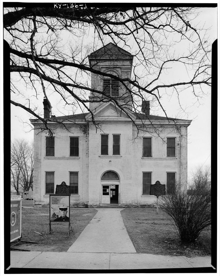
Every property in this county listed on the National Register of Historic Places, with the year it was listed and the federal nomination document.
| Photograph | Property | Type | Listed | Reference |
|---|---|---|---|---|
 | Clay City National Bank Building | building | 1976 | 76000940 |
Sampled issues, machine-read from the Library of Congress scan and published page by page, so every headline and column is searchable text.
Clay City, Ky., 1901 to Current. Machine-read from the Library of Congress scan.
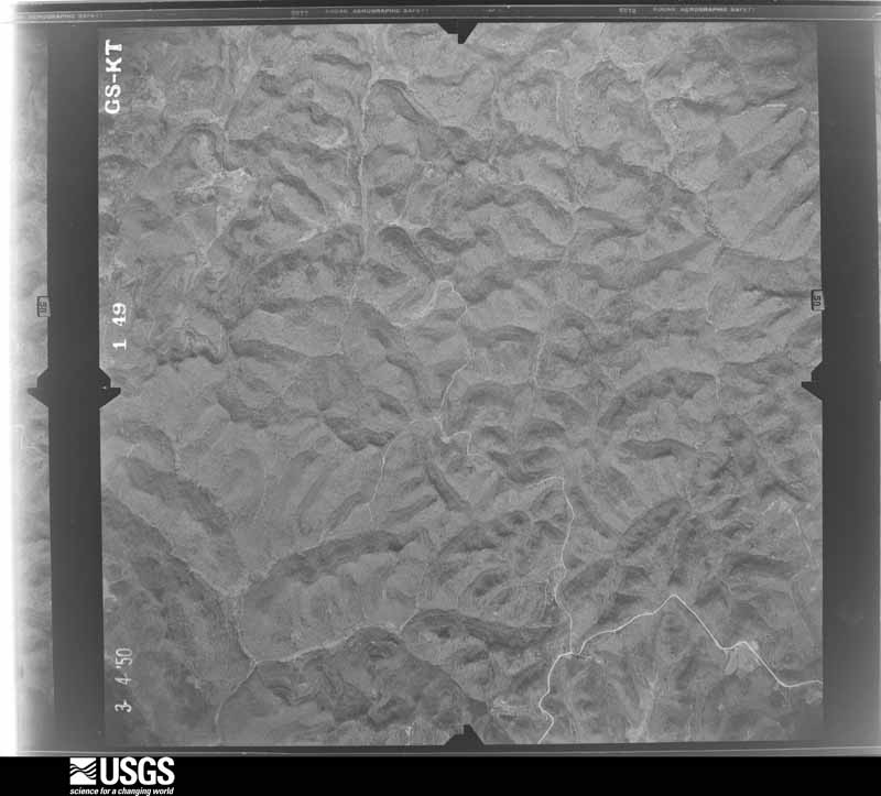
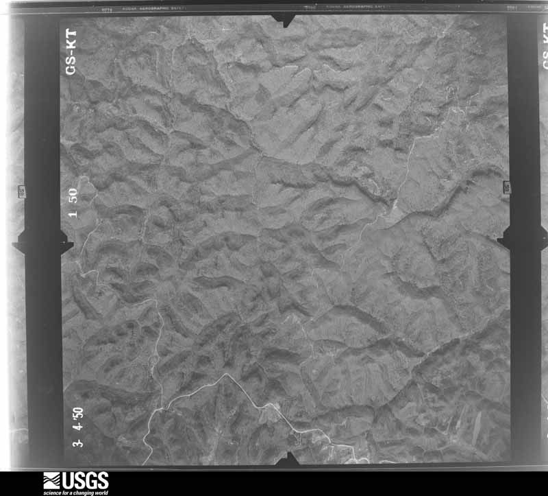
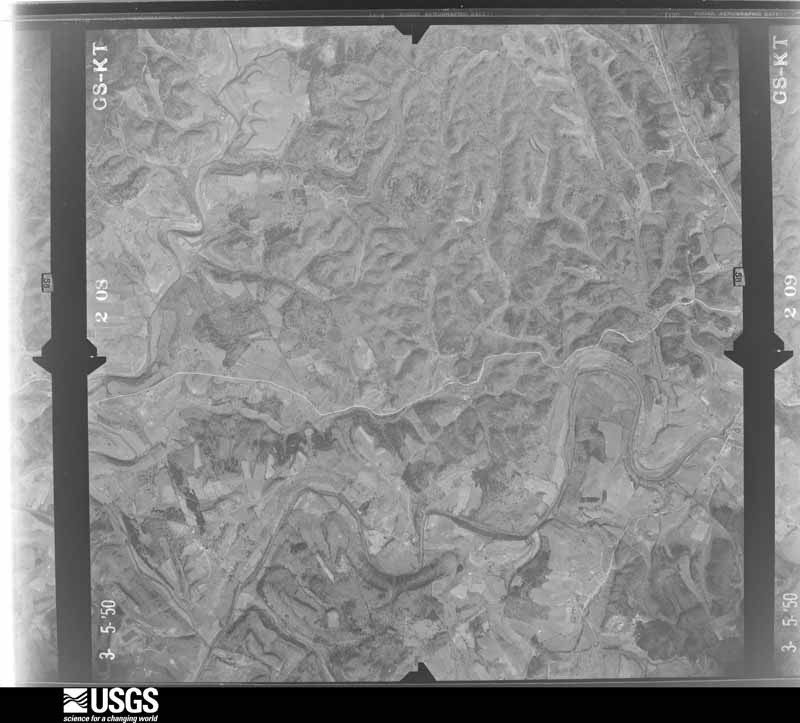
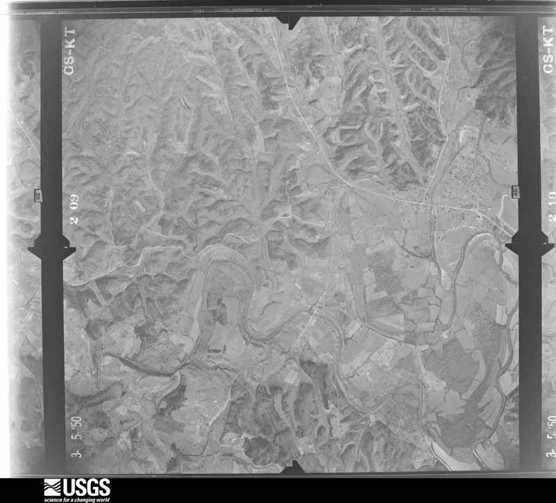
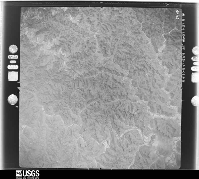
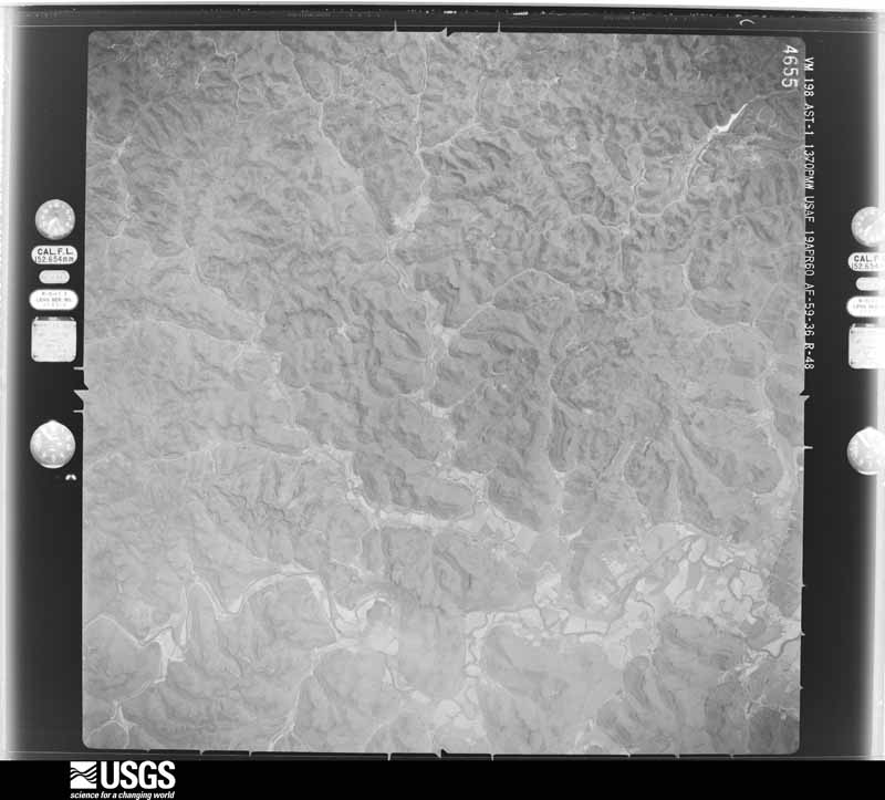
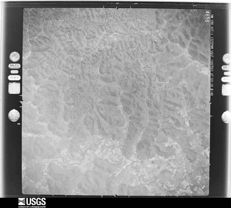
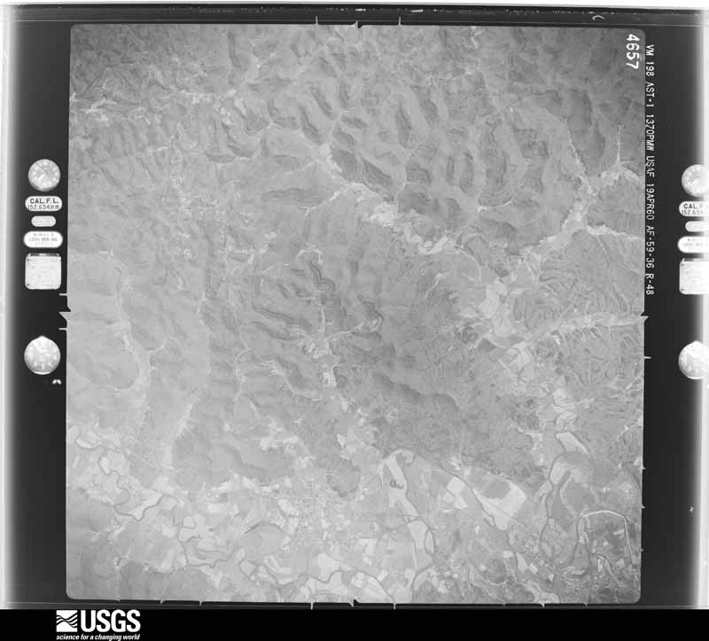
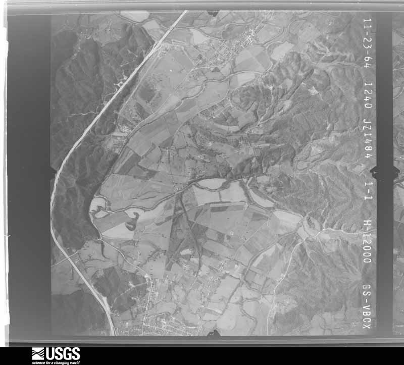
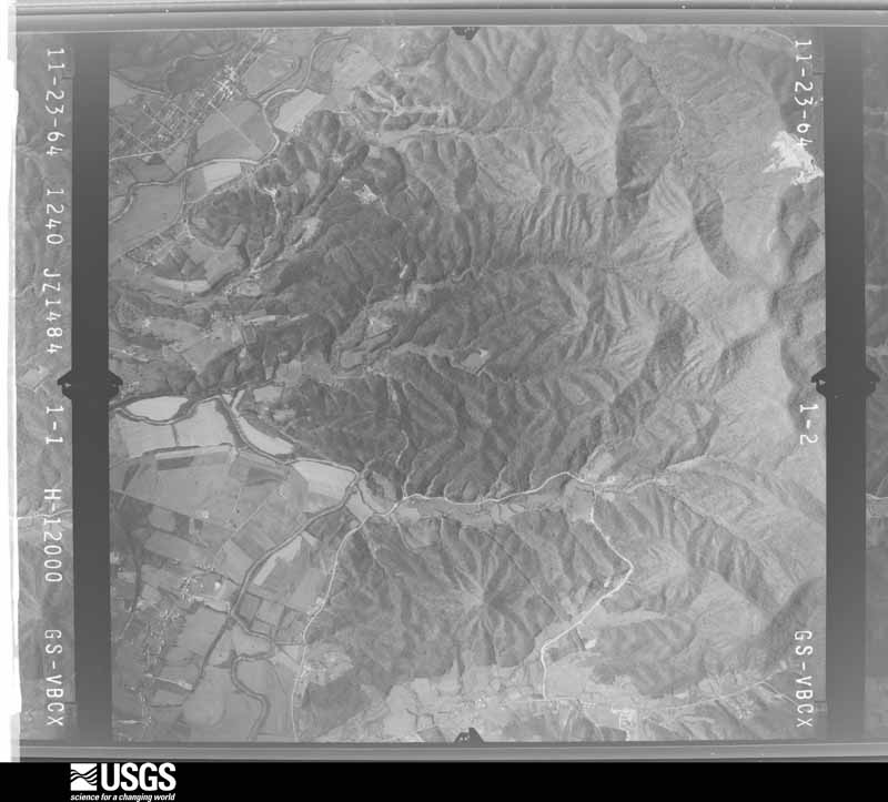
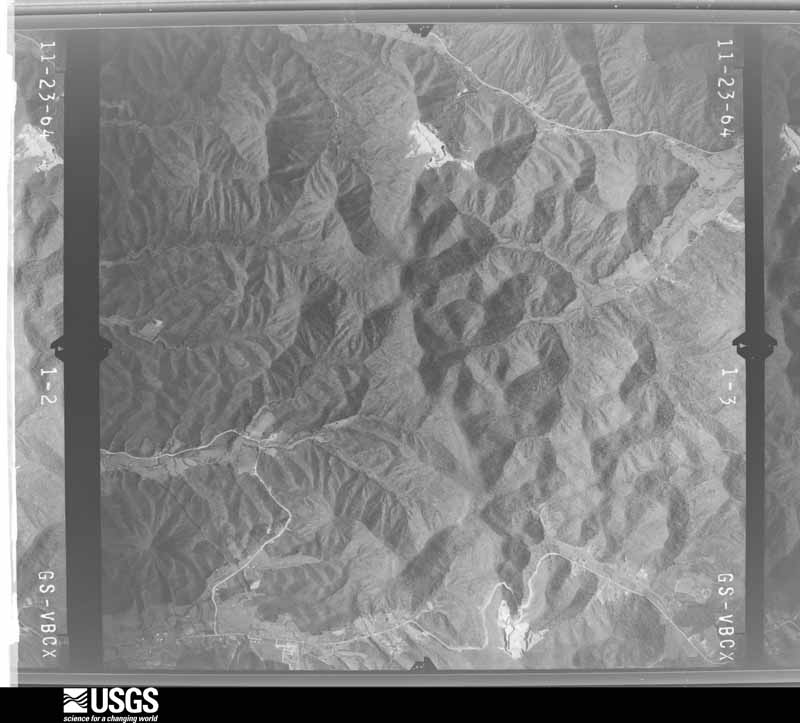
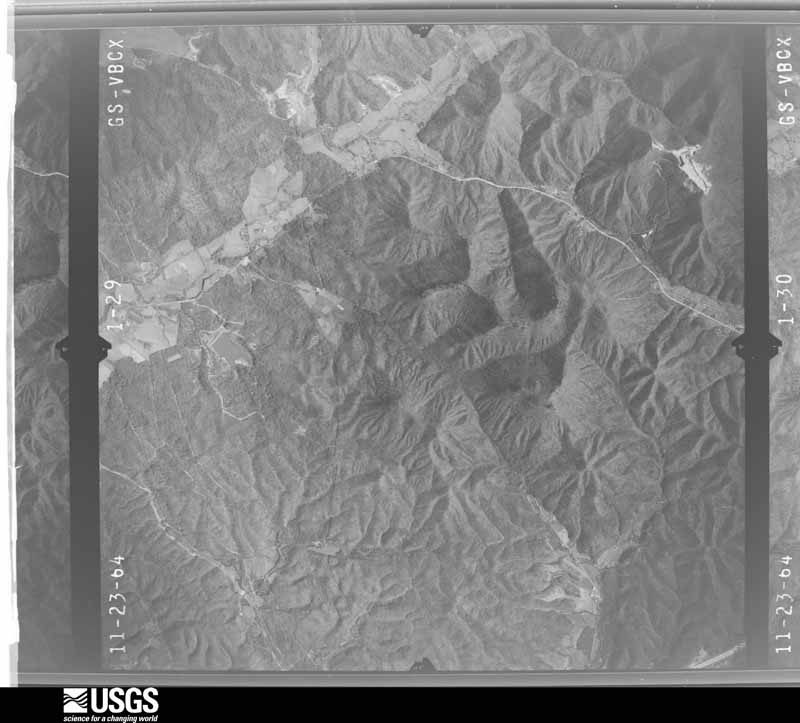
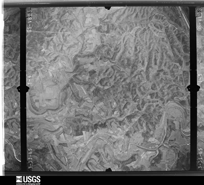
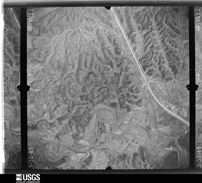
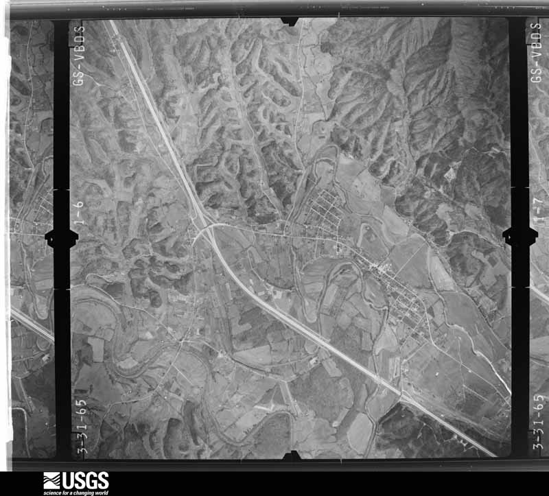
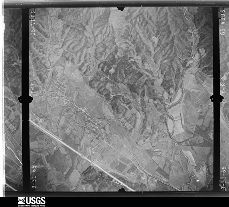
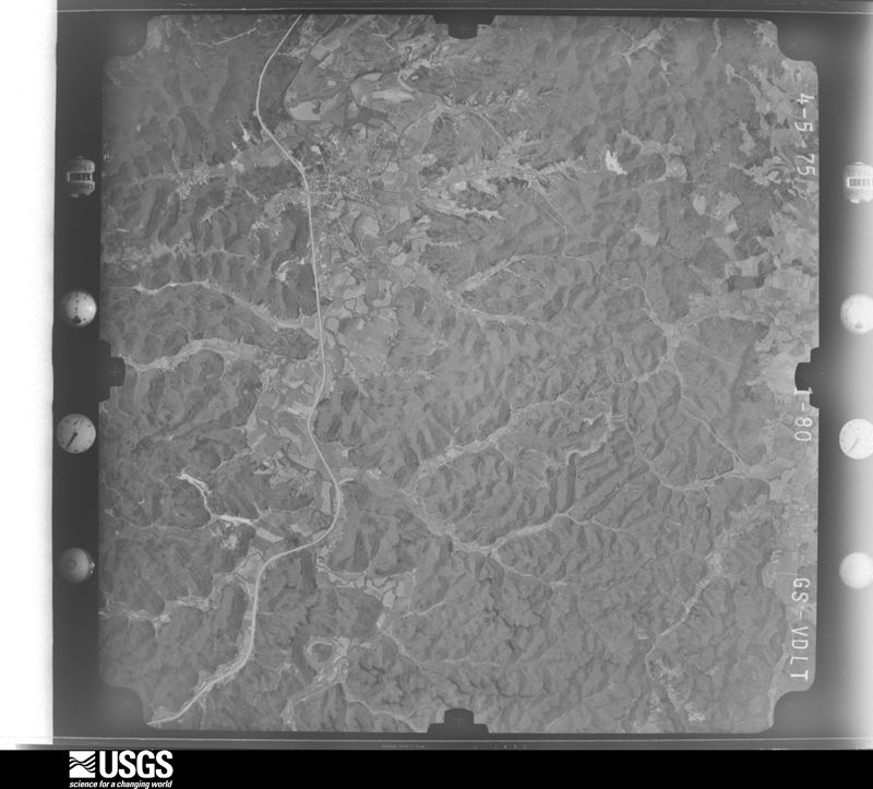
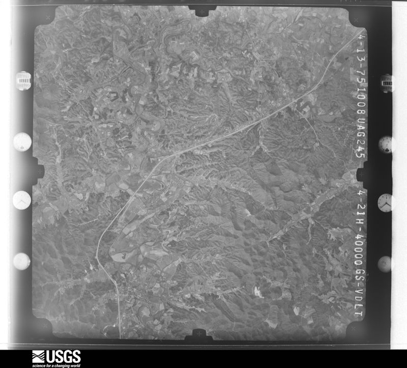
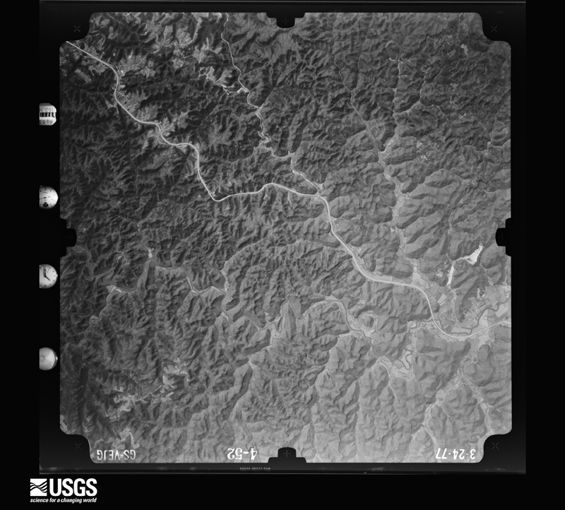
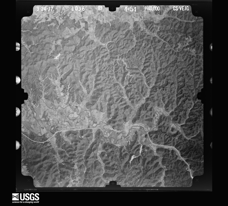
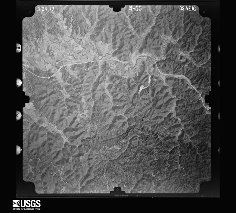
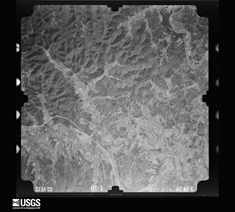
Flown by the U.S. Geological Survey between 1937 and 1989, the Aerial Photo Single Frames collection is the definitive mid-century view of the land: fields, roads and rivers as the camera saw them. The Survey holds 395 frames inside the rectangle that bounds this county; the 23 frames below were taken over the county itself, chosen across the decades of flights (at most four a year from that rectangle), so one flight cannot crowd out the rest. The full set is free to browse and download at EarthExplorer under the dataset Aerial Photo Single Frames.

The thermometers that kept this county's weather, and the gages that measured the flow of its streams, as the federal records hold them. The extremes below are measured values from those records, not estimates.
Who lived here in 1950, one enumeration district at a time, as the Census Bureau described each district. Each row opens its official National Archives result, with Population Schedules and ED Maps available there.
Every wildfire the federal occurrence database records inside this county: 204 of them, burning about 7,818 acres. None started naturally and 32 were recorded as arson. Each settlement page carries the fires within five miles of it.
| Reported cause | Fires |
|---|---|
| Recreation and ceremony | 56 |
| Missing data/not specified/undetermined | 52 |
| Debris and open burning | 49 |
| Arson/incendiarism | 32 |
| Equipment and vehicle use | 6 |
| Smoking | 4 |
| Misuse of fire by a minor | 2 |
| Railroad operations and maintenance | 1 |
| Fireworks | 1 |
| Power generation/transmission/distribution | 1 |
The five largest, by the area the report gives. Four of them were set deliberately.
| Date | Cause | Size | Reported by | Name on the report |
|---|---|---|---|---|
| 24 October 2010 | Recreation and ceremony | 1,640 acres | Daniel Boone National Forest | FISHTRAP |
| 11 April 1999 | Arson/incendiarism | 715 acres | Daniel Boone National Forest | SOUTH FORK |
| 18 November 1999 | Arson/incendiarism | 715 acres | Daniel Boone National Forest | D.BOONE HUT |
| 18 November 1999 | Arson/incendiarism | 540 acres | Daniel Boone National Forest | NADA |
| 18 November 1999 | Arson/incendiarism | 450 acres | Daniel Boone National Forest | AUXIER RIDGE |
| 4 March 2000 | Debris and open burning | 415 acres | Daniel Boone National Forest | STAR GAP |
| 11 November 2016 | Recreation and ceremony | 250 acres | Daniel Boone National Forest | WOODLAND |
| 25 February 2002 | Recreation and ceremony | 195 acres | Kentucky Division of Forestry | not named |
Every settlement page carries the fires within five miles of it - see the settlement index below.
The NOAA Storm Events Database holds 381 reports for this county, causing 1 death, 4 injuries and about $6,642,860 in recorded property damage. Each settlement page carries the reports that name it.
| Kind of event | Reports |
|---|---|
| Thunderstorm Wind | 202 |
| Flash Flood | 62 |
| Hail | 53 |
| Flood | 42 |
| Heavy Rain | 10 |
| Tornado | 7 |
| Lightning | 3 |
| Funnel Cloud | 2 |
The most serious of them, by death, then injury, then recorded damage. The accounts are quoted exactly as the forecast office filed them.
| When | Event | Place named | Harm | What the report says |
|---|---|---|---|---|
| April 2015 | Thunderstorm Wind | Natural Bridge | 1 killed, 1 hurt | A dead tree fell onto a tent at a campsite at the Middlefork campground, killing one person inside the tent and critically injuring a second person. No other tree damage was noted by first responders except for the dead tree. |
| June 1997 | Flash Flood | Stanton | 1 hurt, $3,300,000 | no account filed |
| March 1982 | Tornado (F2) | not stated | 1 hurt, $250,000 | no account filed |
| April 2014 | Lightning | Clay City | 1 hurt | A county employee was struck by lightning. The person was taken to a hospital but there were no details available on specific injuries. |
| March 1997 | Tornado (F0) | Stanton | $1,250,000 | no account filed |
| March 1997 | Tornado (F1) | Stanton | $500,000 | no account filed |
| March 1997 | Flash Flood | Clay City | $200,000 | no account filed |
| June 2019 | Flash Flood | Nada | $150,000 | Fire Rescue, Dispatch, and an NWS Employee reported numerous roads and locations inundated by flowing flood waters. Multiple locations along Kentucky Highway 11 in Slade experienced half a foot or more of flowing water as vehicles became submerged in water near Little Abner's Motel, Miguel's Restaurant, and the Go Time convenience store off the Mountain Parkway exit in Slade. A swift water rescue was performed near See on High Rock Road as two people were trapped in a vehicle. Dispatch reported houses surrounded by water near Rogers Chapel, leading to numerous water rescues. |
| June 2019 | Heavy Rain | Rosslyn | $80,000 | The county Emergency Manager relayed a report of a mudslide on North Bend Road (Kentucky Highway 615) northeast of Stanton. This slide fell onto a two story house, causing the second floor to collapse into the first floor. An elderly 90 year old woman was trapped for a period of time, but was unscathed after being rescued by emergency crews. The portion of North Bend Road near the house was closed for safety precautions until the 20th. |
| June 2012 | Thunderstorm Wind | Stanton | $80,000 | There was roof damage on a house in Stanton and trees and power lines down county wide. |
| April 2008 | Flash Flood | Clay City | $55,000 | Adams Ridge Road was washed out by flood waters. |
| February 2011 | Thunderstorm Wind | Vaughns Mill | $50,000 | Numerous large trees had been blown down. Several out buildings were also damaged or had their roofs blown off in the Hardwick Creek area. |
| June 2010 | Thunderstorm Wind | Stanton | $50,000 | A roof was blown off of a house. Multiple trees were blown down. Power lines were blown down. |
| August 2009 | Flash Flood | Clay City | $50,000 | The Powell County emergency manager say that Stanton is experiencing severe flash flooding. A rescue was underway in the city limits on Stanton Road. A daycare center was evacuated due to flooding and many businesses were flooded. Debris was seen flowing across many roads within Stanton city limits. |
| May 2004 | Thunderstorm Wind | Slade | $50,000 | Straight-line wind broke off trees and power poles through the area and blew the roofs off of two dugouts in Clay City. |
| March 1997 | Thunderstorm Wind | Stanton | $50,000 | no account filed |
| April 2025 | Thunderstorm Wind | Rosslyn | $35,000 | A barn collapsed in the 900 block on Cane Creek Road (State Hwy 615/N. Bend Road) due to thunderstorm winds. |
| February 2008 | Thunderstorm Wind | Clay City | $35,000 | Numerous trees and power lines were blown down county wide. |
| September 2020 | Flash Flood | Natural Bridge | $25,000 | High waters caused a truck to be swept off the road trying to leave the Middlefork Campground at Natural Bridge. All passengers were able to escape safely. |
| February 2017 | Lightning | Stanton | $25,000 | A lightning strike caused a fire that destroyed a building on Paint Creek Road near Stanton. |
| May 1990 | Tornado (F0) | not stated | $25,000 | no account filed |
| July 1980 | Tornado (F1) | not stated | $25,000 | no account filed |
| August 1978 | Tornado (F2) | not stated | $25,000 | no account filed |
| April 2025 | Thunderstorm Wind | Nada | $22,000 | A barn in the 1400 block of South Fork Road received considerable roof damage, along with wood siding being ripped off of one side. |
| April 2022 | Thunderstorm Wind | Knowlton | $22,000 | Powell County dispatch reported that a house off of Darrell Randall Rd in Stanton, Kentucky had its roof blown off, as well as a vehicle damaged from the roof. ||WKYT in Lexington also reported on this story. The information can be found at: https://www.wymt.com/2022/04/18/it-sounded-like-house-was-going-blow-apart-eastern-kentucky-family-cleaning-up-after-strong-storms-dealt-severe-damage/ . |
| April 2025 | Thunderstorm Wind | Rosslyn | $20,000 | A house on the south side of Campton Road (just east of the intersection with Deer Trace) suffered considerable roof damage due to severe thunderstorm winds. Multiple trees on the property were also felled. Heavy rain on top of the roof damage eventually caused a partial roof collapse inside the home. |
| June 2012 | Thunderstorm Wind | Stanton | $20,000 | Trees were blown down countywide. |
| July 2021 | Flash Flood | Stanton | $15,000 | Water was flowing over the road in the Brookside Cottages subdivision in Stanton, and made it into the Leasing Office. The force of the water cased the pavement on the road to break apart. |
| July 2010 | Thunderstorm Wind | Westbend | $15,000 | Trees and large limbs were blown down on Winchester Road and in the Black Creek area. |
| December 2019 | Flood | Clay City | $11,000 | The Kentucky Transportation Cabinet reported standing water over Kentucky Highways 2026, 1184, and 613 between Bowen and Clay City. |
| August 2024 | Thunderstorm Wind | Stanton | $10,000 | A tree was blown down and onto a structure in Stanton. Exact details, including location in Stanton, were not given. |
| June 2022 | Thunderstorm Wind | Stanton | $10,000 | The roof was blown off of an apartment complex in Stanton. |
| May 2008 | Thunderstorm Wind | Clay City | $10,000 | Numerous tree branches were torn off along Spout Springs Road. Branches were 2 to 5 inches in diameter. One tree was also blown down on Highway 2001. |
| June 2007 | Thunderstorm Wind | Clay City | $10,000 | Several trees down. |
| May 2004 | Thunderstorm Wind | Countywide | $10,000 | Trees and power lines were down in many areas, including Hard Wicks Creek, Skyview Drive, Natural Bridge State Park, and Nada Tunnel Road. |
| July 2018 | Thunderstorm Wind | Virden | $7,000 | Numerous reports of wind damage were received from a National Weather Service employee, trained storm spotter, local fire rescue, and dispatch in between Clay City and Stanton. This consisted of a plethora of trees blown down, resulting in several power outages. The roofs of a barn and mobile home were also damaged as this storm moved east along Mountain Parkway. |
| August 2010 | Thunderstorm Wind | Clay City | $7,000 | Dispatch reported that a tree fell on a vehicle on Main St, injuring two of the passengers. |
| April 2007 | Thunderstorm Wind | Stanton | $7,000 | Seven trees blown down. |
| January 2012 | Thunderstorm Wind | Stanton | $6,000 | Trees were blown down and onto power lines in Stanton. |
| December 2021 | Thunderstorm Wind | Vaughns Mill | $5,000 | A tree is on a 3-phase powerline along Spout Springs Road. The road is closed and repairs are ongoing. |
| May 2020 | Thunderstorm Wind | Waltersville | $5,000 | Dispatch relayed a report of a tree downed on Irvine Road near the intersection with Snow Creek Road west of Clay City. A vehicle struck this tree, but no injuries were sustained. |
| June 2020 | Thunderstorm Wind | Bowen | $5,000 | A citizen and local media outlet relayed a report of a few trees downed at Callies Lake and Campground near Bowen. A structure was damaged by one of these trees. |
| June 2010 | Thunderstorm Wind | Knowlton | $5,000 | Trees were blown down onto power lines in the Cat Creek area. |
| June 2007 | Thunderstorm Wind | Vaughns Mill | $5,000 | Trees down along Hardwick Creek Rd. |
| February 2000 | Flash Flood | Countywide | $5,000 | Several reports were received of water over roads and numerouse rock slides occurred due to the heavy rains. |
| June 1998 | Thunderstorm Wind | Clay City | $5,000 | Trees downed. One tree fell onto house. |
| August 2011 | Thunderstorm Wind | Virden | $4,000 | A tree was blown down and onto some power lines. |
| September 2020 | Flood | Nada | $3,000 | Heavy rains led to rising water levels on the Red River, flooding the Red River Gorge Campground located along its banks. |
| February 2011 | Thunderstorm Wind | Vaughns Mill | $3,000 | Downed power lines blocked the road at the intersection of Hardwicks Creek and Frames Branch Roads southwest of Stanton. |
| February 2009 | Thunderstorm Wind | Stanton | $3,000 | Large limbs were blown down by thunderstorm wind gusts. |
| August 2009 | Thunderstorm Wind | Stanton | $3,000 | A few trees were blown down at various locations around the county. |
| May 1998 | Thunderstorm Wind | Clay City | $3,000 | Power lines were downed. |
| March 1997 | Thunderstorm Wind | Clay City | $3,000 | no account filed |
| April 2011 | Thunderstorm Wind | Bowen | $2,500 | Several large tree branches were blocking the east bound left lane of the Mountain Parkway near mile marker 28. |
| January 2008 | Thunderstorm Wind | Clay City | $2,500 | A thunderstorm wind gust estimated at 60 mph occurred near Stanton in Powell county. One small tree and two large limbs blown down in Stanton. |
| January 2020 | Thunderstorm Wind | Waltersville | $2,000 | Dispatch and Emergency Management relayed reports of the roof blown off of a home on Stokley Loop in Clay City, while another home on Ashley Hollow Road sustained roof damage. The latter home also had multiple trees blown down around it while having a meter pulled off of it. |
| August 2013 | Flash Flood | Stanton Arpt | $2,000 | Water was reported flowing across East College Avenue in several places. At one point water entered the Pooh and Pals daycare center. The water receded from the building and off the road by 335 pm. |
| February 2012 | Thunderstorm Wind | Stanton | $2,000 | Large tree limbs were blown down on Mill Knob. |
| February 2012 | Thunderstorm Wind | Clay City | $2,000 | Large tree limbs were blown down on Snow Creek. |
| February 2011 | Thunderstorm Wind | Knowlton | $2,000 | Large tree limbs were partially blocking the road at the intersection of James Crowe Hollow and Cat Creek Roads. |
The Survey's mineral resources record lists 2 workings inside this county. All of them still produce. Each settlement page carries the workings within five miles of it.
| Commodity | Workings |
|---|---|
| Clay | 1 |
| Stone, Crushed/Broken | 1 |
The least common of them first, because a county's hundredth gravel pit says nothing its first ten did not.
| Where | Site | Commodity | Status | Recorded |
|---|---|---|---|---|
| Drake 01 | Clay | Producer | ||
| Natural Bridge Stone Co., Inc. | Stone, Crushed/Broken | Producer |
Named settlements recorded in the Geographic Names Information System, each with the topographic sheets covering it. Villages, hamlets and abandoned places alike. Each is shown with the nearest named watercourse or landform and the survey quadrangle it falls on.
Stanton census division · 40380 · On Crow Drive Creek · Zachariah quadrangle
13 sheets, 1892 to 1982
No longer a settlement
Clay City census division · 40312 · Near White Rock Mountain · Levee quadrangle
12 sheets, 1892 to 1982
No longer a settlement
Stanton census division · 40380 · On Middle Fork Red River · Stanton quadrangle
13 sheets, 1892 to 1982
Stanton census division · 40380 · On Pecks Creek · Stanton quadrangle
13 sheets, 1892 to 1982
No longer a settlement
Stanton census division · 40380 · Near Chop Chestnut Ridge · Stanton quadrangle
13 sheets, 1892 to 1982
No longer a settlement
Clay City census division · 40312 · On Fife Lick Creek · Clay City quadrangle
12 sheets, 1892 to 1982
Stanton census division · 40380 · On Short Creek · Slade quadrangle
12 sheets, 1892 to 1982
No longer a settlement
Stanton census division · 40380 · Near Shed Hollow · Slade quadrangle
12 sheets, 1892 to 1982
No longer a settlement
Clay City census division · 40312 · Clay City quadrangle
12 sheets, 1892 to 1982
No longer a settlement
Clay City census division · 40380 · Near Kaincaid Mountain · Stanton quadrangle
13 sheets, 1892 to 1982
No longer a settlement
Stanton census division · 40380 · Stanton quadrangle
13 sheets, 1892 to 1982
No longer a settlement
Stanton census division · 40380 · Near Johnson Knob · Means quadrangle
12 sheets, 1892 to 1982
No longer a settlement
Clay City census division · 40380 · Near State Rock · Stanton quadrangle
13 sheets, 1892 to 1982
Clay City census division · 40312 · On Snow Creek · Clay City quadrangle
12 sheets, 1892 to 1982
No longer a settlement
Clay City census division · 40380 · Near Stevens Knob · Means quadrangle
12 sheets, 1892 to 1982
No longer a settlement
Stanton census division · 40380 · On Hatcher Creek · Stanton quadrangle
13 sheets, 1892 to 1982
No longer a settlement
Stanton census division · 40380 · On Judy Creek · Clay City quadrangle
12 sheets, 1892 to 1982
No longer a settlement
Stanton census division · 40380 · Near DeHart Hollow · Slade quadrangle
12 sheets, 1892 to 1982
No longer a settlement
Stanton census division · 40380 · Near Stevens Knob · Levee quadrangle
12 sheets, 1892 to 1982
No longer a settlement
Stanton census division · 40380 · Near Mill Knob · Stanton quadrangle
13 sheets, 1892 to 1982
No longer a settlement
Clay City census division · 40312 · On Thorpe Branch · Clay City quadrangle
12 sheets, 1892 to 1982
No longer a settlement
Clay City census division · 40312 · On Ships Branch · Clay City quadrangle
12 sheets, 1892 to 1982
Stanton census division · 40380 · Near Mill Knob · Stanton quadrangle
13 sheets, 1892 to 1982
Stanton census division · 40380 · On Stump Cave Branch · Slade quadrangle
12 sheets, 1892 to 1982
No longer a settlement
Stanton census division · 40380 · On Long Field Branch · Slade quadrangle
12 sheets, 1892 to 1982
No longer a settlement
Stanton census division · 40380 · On Boone Branch · Stanton quadrangle
13 sheets, 1892 to 1982
Stanton census division · 40380 · Near West Hollow · Stanton quadrangle
13 sheets, 1892 to 1982
No longer a settlement
Clay City census division · 40312 · On Frames Branch · Clay City quadrangle
12 sheets, 1892 to 1982
Clay City census division · 40312 · On Ships Branch · Levee quadrangle
12 sheets, 1892 to 1982
Clay City census division · 40312 · On Skinner Branch · Clay City quadrangle
12 sheets, 1892 to 1982
Clay City census division · 40312 · Near Ware Point · Levee quadrangle
12 sheets, 1892 to 1982
The vanished settlements of Powell County: the places named above that are no longer on the map.
The complete index, with nothing left out. Each of these is a separate record with its own page: a federal survey report, or the case file that argued a property on to the National Register. Both are public domain and reproduced word for word.
The vanished settlements of Powell County, the places these records name that are no longer on the map.