 Block
From the record
14 National Register listings published here.
Sources: the National Register database, National Park Service
50 topographic sheets and 17 fire insurance atlases across 3 places.
14 National Register listings published here.
Sources: the National Register database, National Park Service
Taken for the Office of War Information and the Farm Security Administration, who photographed the country between 1935 and 1944. Works of United States government photographers, with no known restriction on use. Each opens its catalogue record.
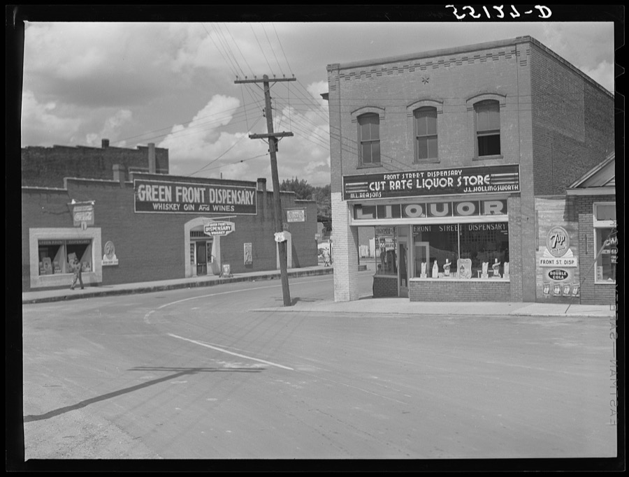
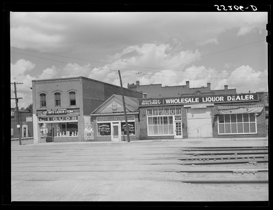

Every property in this county listed on the National Register of Historic Places, with the year it was listed and the federal nomination document.
| Photograph | Property | Type | Listed | Reference |
|---|---|---|---|---|
 | Allensville Historic District | district | 1988 | 88002611 |
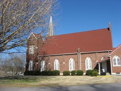 | Bethel Baptist Church | building | 1977 | 77000651 |
 | Jefferson Davis Monument | structure | 1973 | 73000849 |
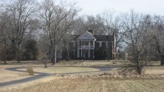 | Edwards Hall | building | 1974 | 74000906 |
 | Elkton Commercial Historic District | district | 1989 | 89001976 |
| Gray's Inn | site | 2004 | 04001254 | |
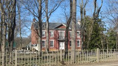 | John Gray Springhouse | building | 1987 | 87000146 |
| Guthrie Historic District | district | 2011 | 11000801 | |
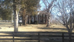 | Idlewild | building | 1980 | 80001670 |
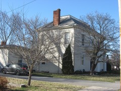 | McReynolds House | building | 1976 | 76000946 |
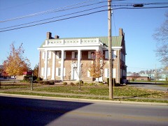 | Milliken Memorial Community House | building | 1990 | 90001834 |
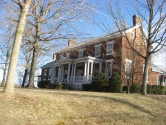 | W. L. Reeves House | building | 1984 | 84002024 |
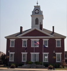 | Todd County Courthouse | building | 1975 | 75000836 |
 | Woodstock | building | 2010 | 10000904 |
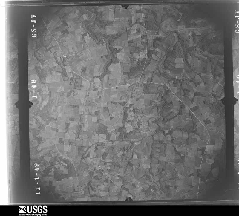
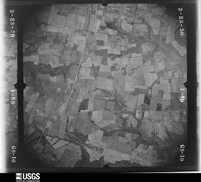
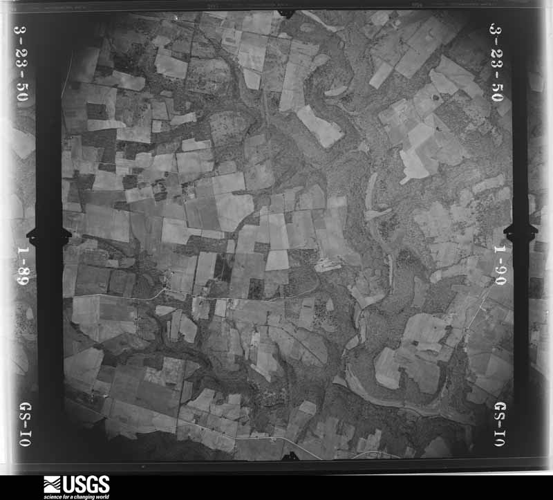
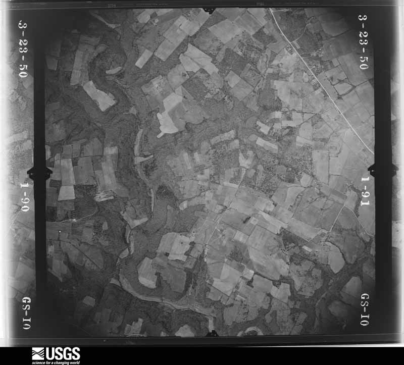
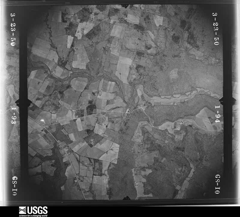
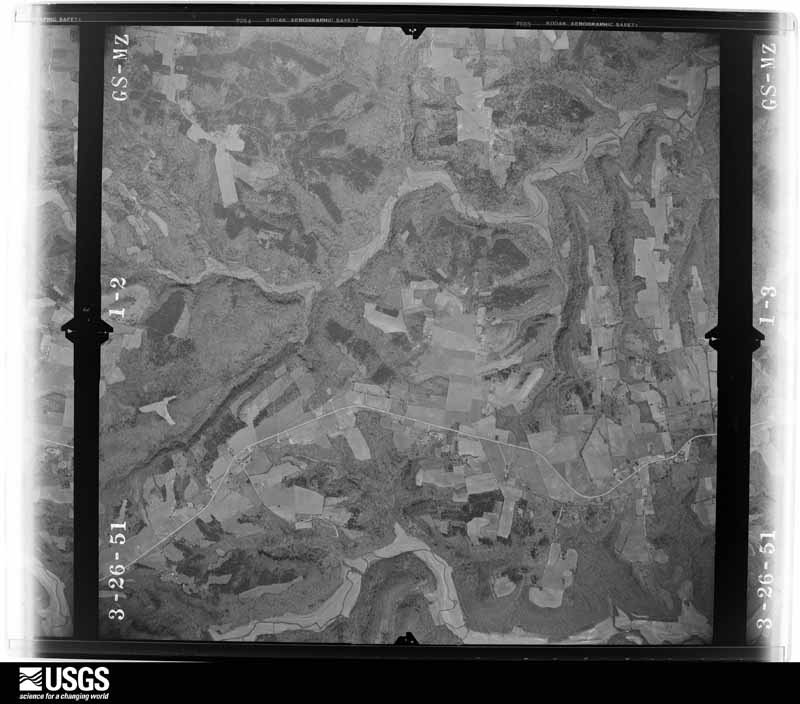
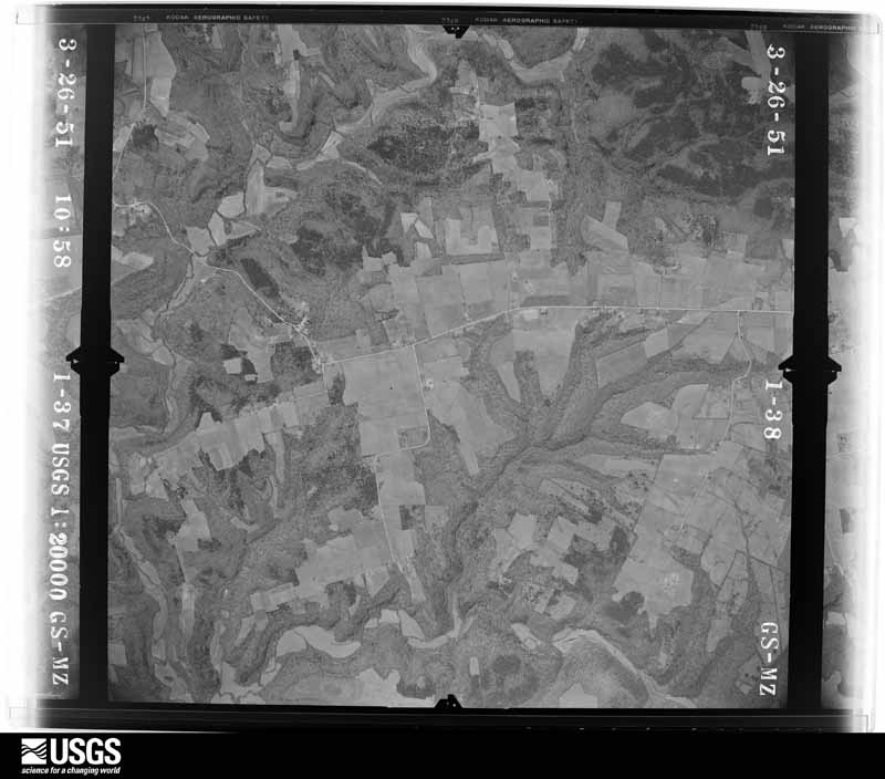
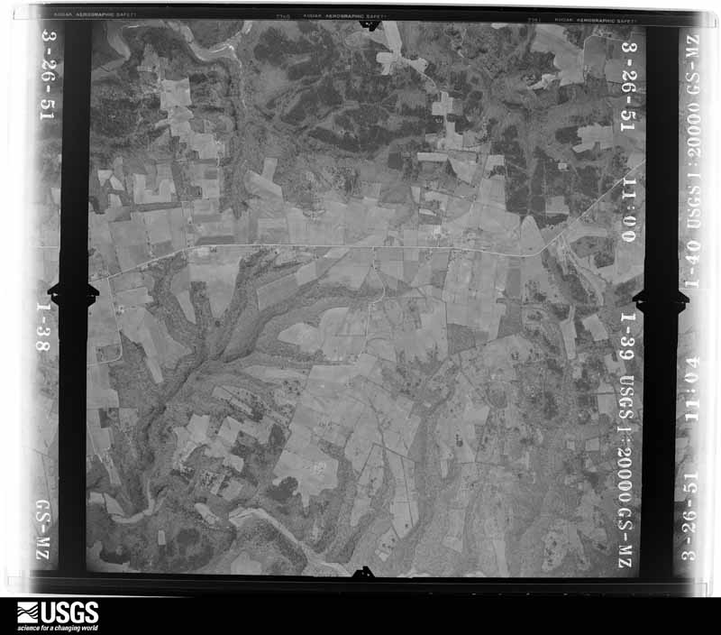
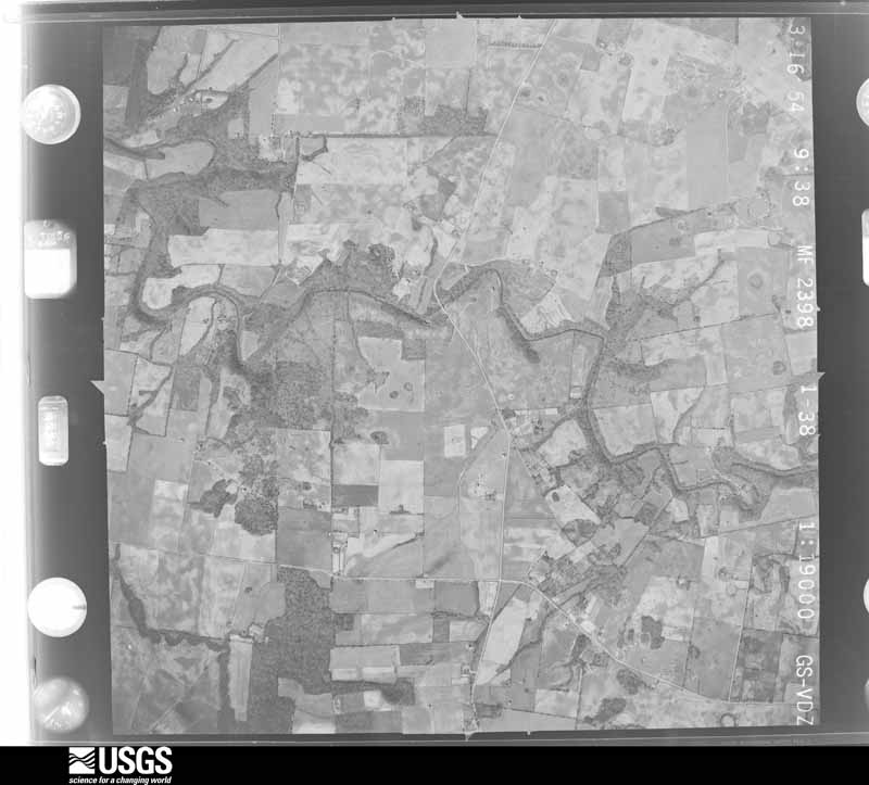
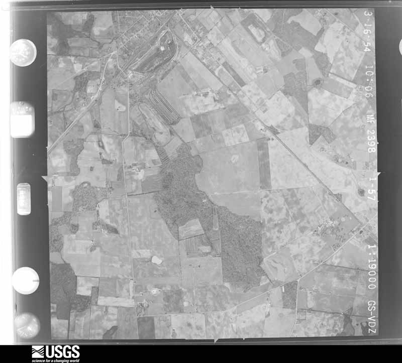
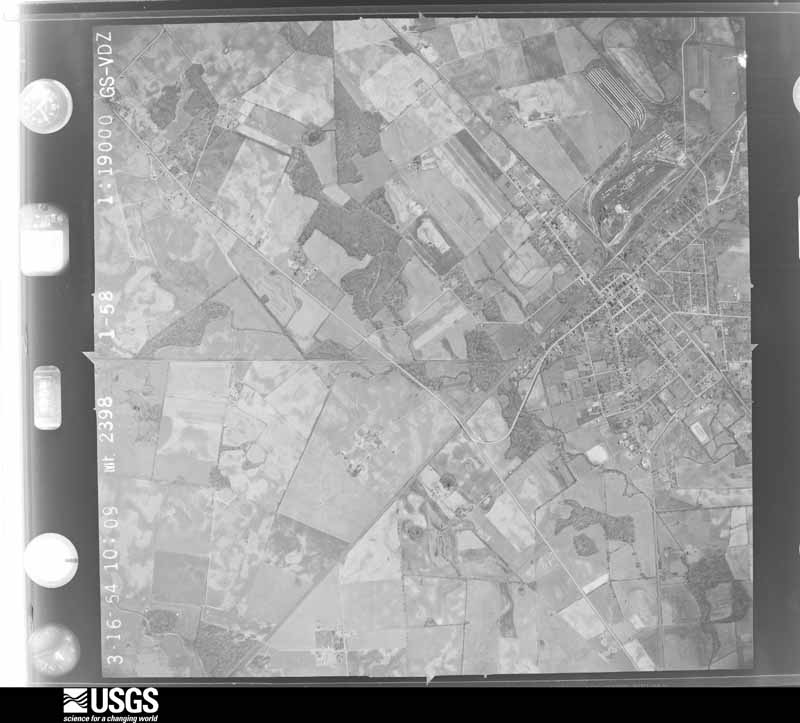
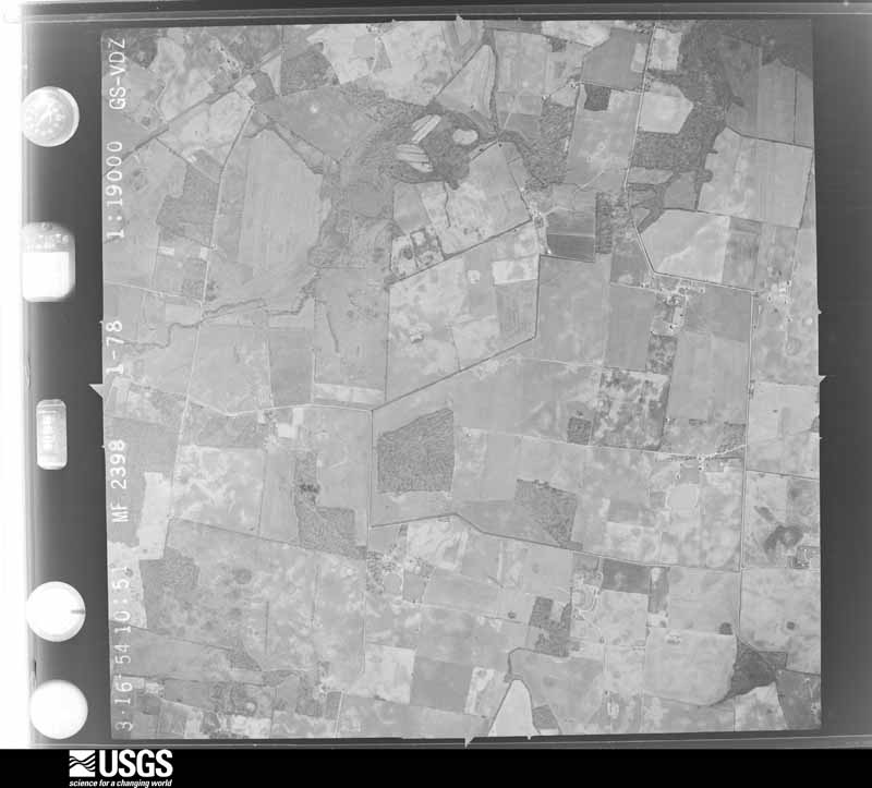
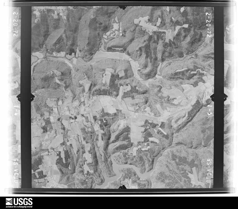
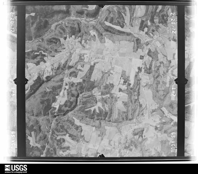
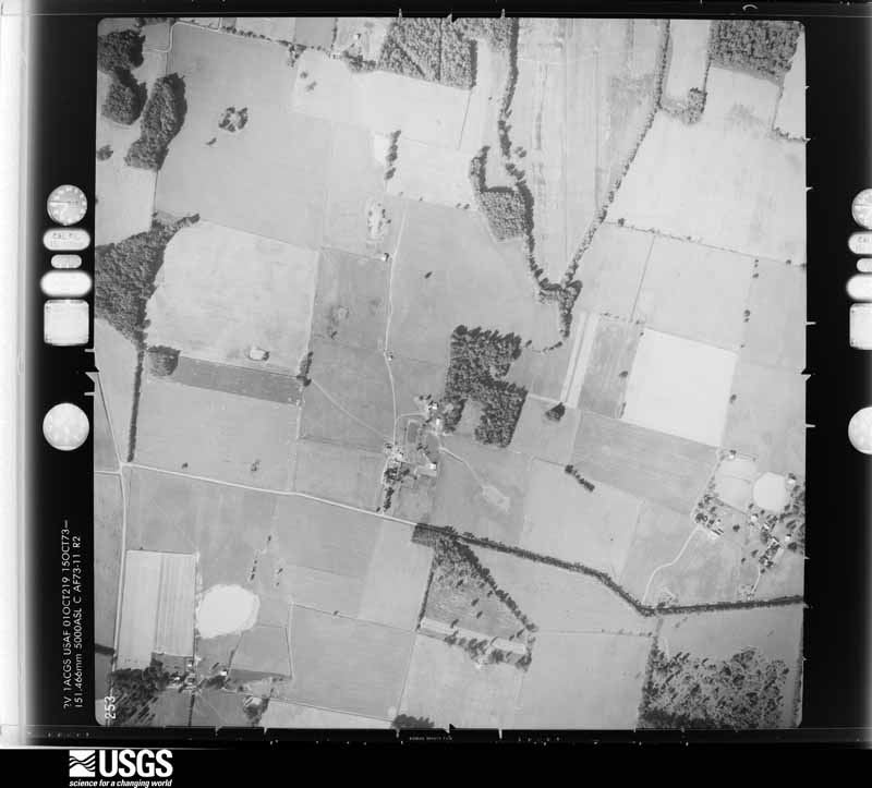
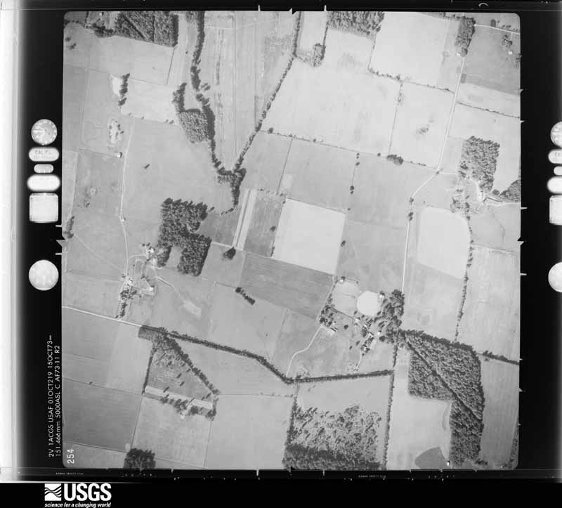
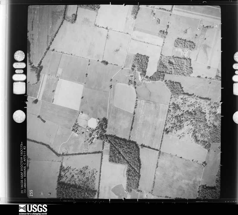
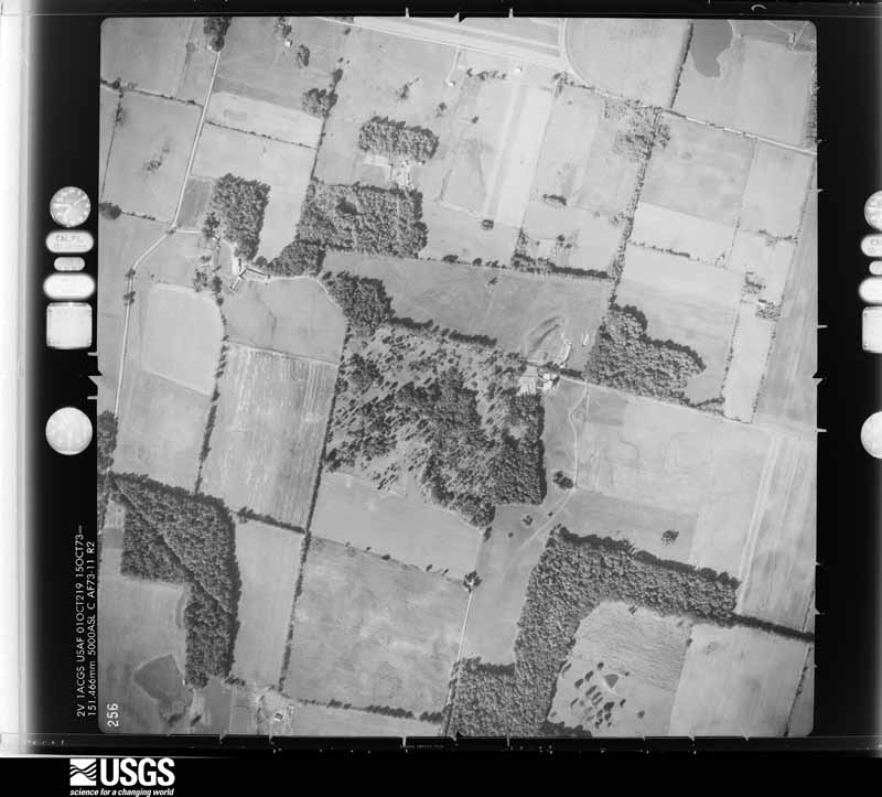
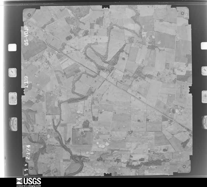
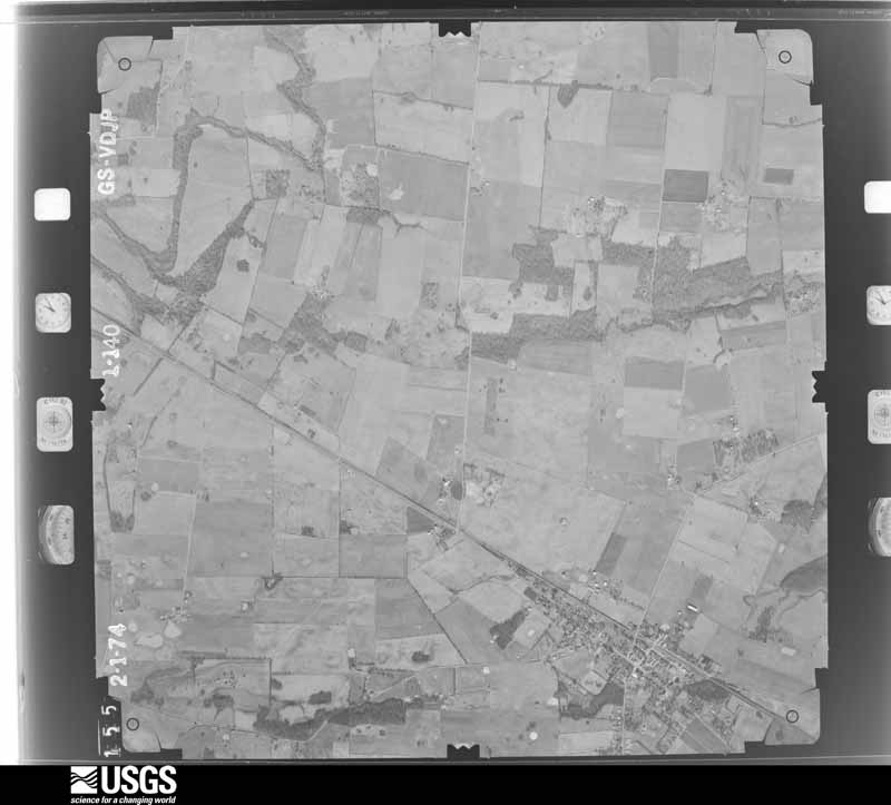
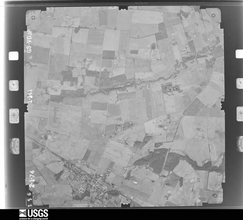
Flown by the U.S. Geological Survey between 1937 and 1989, the Aerial Photo Single Frames collection is the definitive mid-century view of the land: fields, roads and rivers as the camera saw them. The Survey holds 930 frames inside the rectangle that bounds this county; the 28 frames below were taken over the county itself, chosen across the decades of flights (at most four a year from that rectangle), so one flight cannot crowd out the rest. The full set is free to browse and download at EarthExplorer under the dataset Aerial Photo Single Frames.







The thermometers that kept this county's weather, and the gages that measured the flow of its streams, as the federal records hold them. The extremes below are measured values from those records, not estimates.
Who lived here in 1950, one enumeration district at a time, as the Census Bureau described each district. Each row opens its official National Archives result, with Population Schedules and ED Maps available there.
Every wildfire the federal occurrence database records inside this county: 20 of them, burning about 168 acres. None started naturally and 1 was recorded as arson. Each settlement page carries the fires within five miles of it.
| Reported cause | Fires |
|---|---|
| Missing data/not specified/undetermined | 9 |
| Debris and open burning | 4 |
| Recreation and ceremony | 3 |
| Equipment and vehicle use | 1 |
| Arson/incendiarism | 1 |
| Railroad operations and maintenance | 1 |
| Smoking | 1 |
The five largest, by the area the report gives. None of them was recorded as arson.
| Date | Cause | Size | Reported by | Name on the report |
|---|---|---|---|---|
| 4 March 2006 | Missing data/not specified/undetermined | 55 acres | Kentucky Division of Forestry | not named |
| 20 November 2005 | Missing data/not specified/undetermined | 20 acres | Kentucky Division of Forestry | not named |
| 14 March 2000 | Debris and open burning | 20 acres | Kentucky Division of Forestry | not named |
| 21 October 2010 | Railroad operations and maintenance | 18 acres | Kentucky Division of Forestry | RIDER |
| 28 February 2004 | Missing data/not specified/undetermined | 15 acres | Kentucky Division of Forestry | not named |
| 10 October 2007 | Equipment and vehicle use | 10 acres | Kentucky Division of Forestry | not named |
| 18 September 2010 | Debris and open burning | 6.0 acres | Kentucky Division of Forestry | SHED FIRE |
| 23 November 2005 | Missing data/not specified/undetermined | 5.0 acres | Kentucky Division of Forestry | not named |
Every settlement page carries the fires within five miles of it - see the settlement index below.
The NOAA Storm Events Database holds 274 reports for this county, causing no deaths, 12 injuries and about $15,993,000 in recorded property damage. Each settlement page carries the reports that name it.
| Kind of event | Reports |
|---|---|
| Thunderstorm Wind | 120 |
| Hail | 58 |
| Flash Flood | 39 |
| Tornado | 21 |
| Flood | 20 |
| Heavy Rain | 7 |
| Funnel Cloud | 6 |
| Lightning | 3 |
The most serious of them, by death, then injury, then recorded damage. The accounts are quoted exactly as the forecast office filed them.
| When | Event | Place named | Harm | What the report says |
|---|---|---|---|---|
| April 2006 | Tornado (F2) | Allegre | 6 hurt, $2,500,000 | The tornado continued into Todd County from Christian County, crossing the county line near Pilot Rock. The tornado passed less than a mile north of the communities of Allegre and Cedar Grove, then dissipated about 2.5 miles before entering Logan County. Although damage was extensive in Todd County, the tornado was at its strongest and widest in Christian County. In Todd County, the tornado produced mainly F1 damage, although the tornado intensified into the lower F2 range near Allegre. A mobile home was destroyed in Allegre, and buildings were destroyed on Highway 171 about two miles north of Allegre. There was extensive damage to a church in Cedar Grove. Half of its roof was blown off, and windows were blown out. A total of two homes in Todd County were destroyed, and 28 other houses were significantly damaged. Close to two dozen sheds and barns were damaged or destroyed, along with at least one grain bin. Numerous trees were uprooted. Some farm machinery and vehicles were damaged or destroyed, including tractors and combines. |
| January 1999 | Thunderstorm Wind | Trenton | 3 hurt, $1,500,000 | A National Weather Service damage survey indicated a macroburst containing winds near 100 MPH caused extensive damage across southern Todd County. Most of the damage was in the Zion, Hermon, Allensville, and Trenton areas. Wind destroyed two trailers, three hog houses, and numerous barns and sheds. The injuries occurred to occupants of a trailer. Two people were trapped in the mobile home for a while, and one was transported to a hospital for minor injuries. |
| April 1977 | Tornado (F1) | not stated | 1 hurt, $250,000 | no account filed |
| September 2023 | Lightning | Elkton | 1 hurt, $25,000 | A house was struck by lightning, starting a damaging fire. While firefighters were battling the fire, another lightning strike occurred about 300 feet away. A firefighter who was next to a fire truck was thrown backward when the lightning struck. The firefighter was shocked and thrown to the ground, causing minor injuries that required treatment at a local hospital. |
| May 1984 | Tornado (F0) | not stated | 1 hurt, $25,000 | no account filed |
| April 1991 | Tornado (F2) | not stated | $2,500,000 | no account filed |
| March 1991 | Tornado (F2) | not stated | $2,500,000 | no account filed |
| May 2025 | Tornado (EF2) | Allegre | $1,100,000 | An EF2 tornado started along Shaw Ovil Road in Christian County, continuing east into Todd County, crossing Hwy 189 and eventually lifting to the west of Hwy 181. The worst damage occurred along Blue Hole Road where several chicken houses were completely destroyed and a mobile home was swept away. Dozens of trees were snapped or uprooted and a few outbuildings were damaged. Peak winds for the Todd County portion of the tornado, and the tornado as a whole, were 120mph. |
| December 2023 | Tornado (EF2) | South Zion | $750,000 | This tornado first touched down on Fort Campbell just north of the Sabre Airfield in Montgomery County, TN. The tornado tracked northeastward through northern Clarksville, entering into Todd County 5 miles west of Guthrie. As the tornado continued into southeastern Todd County, sparsely populated areas were affected initially. Hwys 41, 79, and 848 were blocked by debris or power lines and Hwy 181 was blocked by a train due to debris getting caught under the train. Trees were damaged, along with broken glass at a residence on the Dixie-Beeline Highway and destruction of an outbuilding on Old Railroad Lane. Large sections of a roof were removed from a home on Snardon Mill Rd. Much of the damage occurred on the south side of Allensville, where several homes had heavily damaged roofs, along with more trees, power poles, and outbuildings damaged or destroyed. The tornado continued into Logan County, KY, crossing over on the south side of Allensville. EF-2 damage indicators occurred repeatedly along the track throughout Todd County, suggesting a fairly consistent intensity for this segment. In total, hundreds of trees were snapped or uprooted and several power poles were broken. At least a dozen outbuildings were destroyed, including barns, sheds, workshops, and garages. Over a dozen homes suffered minor to major damage to roofs, siding, and gutters. Several homes had parts of roofs removed. |
| July 2016 | Flash Flood | Elkton | $600,000 | Several residents in Elkton were rescued from their homes because of flash flooding of Elk Fork Creek. Seventeen houses were evacuated. Two bridges were closed. Other roads both in and outside the city of Elkton were closed by flooding. A state of emergency was declared for Todd County. |
| February 2021 | Flash Flood | Elkton | $500,000 | Major flash flooding occurred in Todd County. Initially, a small creek along Stokes Chapel Road near Elkton was out of its banks and flooding the road. The flash flooding became more widespread and intense as the day wore on. Evacuations were underway on a few streets in Elkton. North Main Street was closed coming into Elkton. Elk Fork Road was also closed. A total of 15 residences and 3 businesses were impacted in Elkton, mainly on Water Street, North Main, East Main, West Main, and Washington St. About six people were evacuated from three residences on Water Street and East Main Street. At the peak of the flooding, water was over Highways 181 around Elkton and Guthrie, Highway 475, Highway 106, Highway 104 at Old Trenton, Highway 102 near Allensville, and at least ten county roads. A few roads were temporarily closed until they could be repaired. |
| September 2017 | Flash Flood | Guthrie | $350,000 | Flash flooding in Guthrie prompted evacuations on several residential streets. Homes began flooding before sunrise. Rescue boats were brought in from Muhlenberg County to assist with evacuations. Over 20 homes and businesses were flooded in the Guthrie area. Six of the homes were uninhabitable after sustaining major damage. Three to four feet of water covered the low-lying neighborhood that was evacuated. Standing water over Highways 181 and 171 slowed traffic, but the roads were passable. All county schools were closed due to flooding. A storm total rainfall of 7.81 inches was reported at the Kentucky mesonet site five miles southwest of Elkton. Most of this rain fell in a 24-hour period. A Cocorahs (Community Collaborative Rain, Hail, and Snow) network observer in Guthrie measured 7.10 inches. |
| January 2013 | Thunderstorm Wind | Allegre | $300,000 | The path of damage averaged about one-third mile wide. The downburst damage exited the northeast corner of Todd County into Muhlenberg County near Lake Malone State Park. A few thousand trees were uprooted by winds estimated near 110 mph. Numerous barns and other sheds were levelled or heavily damaged. Several homes and other buildings had roofs, including decking, partially removed. A couple of homes received damage to walls of attached garages. Many other homes received minor damage, including loss of shingles and siding. |
| December 2021 | Thunderstorm Wind | Elkton | $200,000 | The long-track tornado that ended in western Todd County transitioned to a damaging wind event near Elkton. On the west side of Elkton, a barn roof was damaged, several house roofs were damaged, and dozens of trees were snapped or uprooted. The most intense damage was observed on the northeast side of Elkton, where steel poles for electrical transmission lines were broken or bent. Peak winds there were estimated near 115 mph. Elsewhere northeast of Elkton, a barn was destroyed. Most of the other damage consisted of roof damage to barns and outbuildings, mostly minor. Numerous trees were blown down. |
| March 1997 | Flash Flood | Elkton | $200,000 | no account filed |
| December 2021 | Tornado (EF1) | Tress Shop | $150,000 | The tornado tracked from west to east, passing just north of Elkton by only about one mile. Several older barns were damaged or destroyed. Many large trees were uprooted or snapped. Two semi trailers were flipped over. One of the trailers, which was at the intersection of Highways 181 and 106, was storing construction equipment. There was minor roof damage. Peak winds were estimated near 90 mph. |
| April 2011 | Thunderstorm Wind | Trenton | $150,000 | Two houses in Trenton sustained major damage, including partial destruction of an exterior wall. Some other homes received minor damage. Most of the house damage was due to falling trees. Trees and power poles were down. |
| May 2010 | Flash Flood | Hadensville | $150,000 | Severe flash flooding struck much of the county, especially the southern half. In Guthrie, several homes were evacuated due to flooding, and a business and a senior center suffered water damage. A car was tipped onto its side by the force of floodwaters in Guthrie. One home in Elkton was evacuated. A sewer backup in Elkton caused raw sewage to enter houses and businesses. Numerous roads were flooded and closed. A bridge was washed out. |
| May 2005 | Tornado (F1) | Elkton | $150,000 | The tornado skipped along the ground from Christian County into Todd County. This second touchdown occurred about a mile east of the Christian County touchdown. Along U.S. Highway 68 just inside Todd County, a garage and a small building were unroofed. Building debris was blown through a truck window. A piece of wood was impaled into a portable plastic tank. Numerous trees were blown down. This touchdown was about 1/8 mile long and 100 yards wide. Peak winds were estimated near 80 MPH. |
| November 2017 | Tornado (EF0) | Liberty | $125,000 | The short-track tornado began along Highway 171 several miles northwest of Elkton. Four houses had more than 20 percent of their shingles blown off. A well-built porch was lifted. Brick piers supporting a mobile home collapsed, and insulation was blown west in the storm's wake. A grain bin was destroyed and blown 30 yards into a field. A barn was destroyed, and one of the walls of a shed was blown down. Numerous trees were broken off. Yard furniture was blown northwest of the tornado track. Several windows were broken in a home. Peak winds were estimated near 85 mph. |
| January 2012 | Tornado (EF0) | Clifty | $125,000 | Several trees were blown down. A barn and several greenhouses were damaged. Some shingles were blown off houses. The roof was blown off a garage that was part of a business. A camper trailer about 25 feet long was overturned and destroyed. A pool was damaged, and a grain bin was damaged. The tornado followed a path very close to Highway 107 before ending on the northeast side of Clifty. Peak winds were estimated near 80 mph. The average path width was 150 yards. |
| June 2015 | Thunderstorm Wind | Elkton | $120,000 | Destructive thunderstorm winds estimated up to 95 mph snapped or uprooted dozens of large trees. A mobile home had major damage to walls on one end. At least a half dozen homes had mainly minor shingle and siding damage. One barn was leveled, with at least ten others receiving some loss of roof and siding. Most of the damage occurred along and near Highways 106, 171, and a couple of rural county roads. The path length was six miles, and the path width was about two miles. |
| November 2025 | Tornado (EF1) | Guthrie | $100,000 | An EF-1 tornado (with peak winds of 98mph) began north of Guthrie where several trees were snapped. The narrow tornado moved east across open fields where it flipped a pivot irrigation system. It destroyed a small outbuilding and damaged other smaller buildings nearby. Several power poles were snapped along US-79 and the intersection of US-79 and KY-848. |
| December 2021 | Tornado (EF1) | Fairview | $100,000 | This long-track EF-3 tornado began in western Tennessee near Dyersburg (see Storm Data, Tennessee, Western). It crossed into Todd County from Christian County near the city of Pembroke. The tornado was near the end of its life in Todd County, where it only received a rating of EF-1. In Todd County, dozens of trees were snapped or uprooted. Roofs were blown off several barns. At least one house and several other farm outbuildings sustained minor to moderate roof damage. The windows were blown out of a few structures. The tornado lifted about four miles west of Elkton. This tornado was on the ground for approximately 125 miles across western Tennessee and western Kentucky. The tornado transitioned to a damaging straight-line wind event in the Elkton area. |
| April 2014 | Thunderstorm Wind | Guthrie | $80,000 | A microburst, as relayed by the county emergency management director, downed at least 50 to 100 trees or tree limbs along with power lines in a Guthrie subdivision. Damage area was less than 1/4 mile wide and less than 1/8 mile long. Some trees fell on cars, however tree damage to homes was very limited. |
| June 2014 | Thunderstorm Wind | Elkton | $80,000 | The broad area of scattered wind damage extended southward across a wide swath of southern Todd County. The main area of damage in southern Todd County was across the western half of the county, along and west of Highway 181. Two large machine sheds were partially unroofed. The damage consisted mostly of downed tree limbs averaging 3 to 6 inches in diameter. There were occasional uprooted trees, generally small in size. Tin roofing and wall panels were peeled off a few barns and outbuildings. Peak winds in the south part of the county were estimated near 90 mph. |
| June 2014 | Thunderstorm Wind | Allegre | $80,000 | A broad area of scattered wind damage continued southeast from northern Christian County across northern and central Todd County. The main area of damage in Todd County was across the western half of the county, along and west of Highway 181. This includes Elkton. Just north of Elkton, a large machine shed a couple hundred feet in length had all of its roofing blown off, including the rafters. The damage consisted mostly of downed tree limbs averaging 3 to 6 inches in diameter. There were occasional uprooted trees, generally small in size. Tin roofing was peeled off a few barns and outbuildings. Peak winds were around 95 mph where the machine shed was unroofed. |
| April 2011 | Thunderstorm Wind | Elkton | $80,000 | Power poles were down along a one-half mile stretch of U.S. Highway 68. One house was heavily damaged by a falling tree. About half of Todd County was without power through early the next morning. |
| April 2010 | Thunderstorm Wind | South Zion | $75,000 | The microburst damage extended from along the Christian/Todd county border northeastward across southern Todd County. Many dozens of trees were uprooted or broken, blocking a few roads. A barn was levelled. Several other barns received moderate to major damage. A few homes suffered minor damage, such as partial loss of shingles and porch damage. Near Trenton, a falling tree destroyed a garage and cars inside. |
| January 2008 | Thunderstorm Wind | Trenton | $75,000 | Widespread downed trees and power lines were reported countywide. On Highway 106 northeast of Sharon Grove, an old mobile home that was not tied down was flipped over. In the same area, four to five large oak trees were down, and a garage was damaged. The roofs on a house and garage were heavily damaged. Two buildings used for storage were destroyed. Several houses and barns in the area sustained minor damage. |
| October 2007 | Thunderstorm Wind | Trenton | $75,000 | Trees fell on a trailer in Trenton. Two homes, one business, a car, and a truck were damaged by falling trees in Guthrie. |
| May 1995 | Hail | Elkton | $75,000 | no account filed |
| January 1999 | Thunderstorm Wind | Trenton | $50,000 | A couple of farms were damaged in southern Todd County. At the first farm, siding from a farmhouse was strewn across a neighbor's property. At the second farm, a hog farm, three hog barns were destroyed. As a sidenote, a major tornado occurred at about this time in Clarksville, Tennessee, which is in the county just south of Todd. Several residents in southern Todd County found what were believed to be pieces of debris from Clarksville. In the Trenton area, a couple of landowners found vehicle title application forms and licensing receipts from the Montgomery County, Tennessee Courthouse. |
| May 2016 | Flash Flood | Allensville | $40,000 | Extensive flash flooding of roads occurred. Highway 181 was flooded south from Highway 1753 to Highway 848. A school bus was stuck in the water, but no children were on board. Highway 102 was flooded from Elkton to Highway 79. Business Route 68 in Elkton was flooded. Other flooded roads included Highway 104 from Elkton to Trenton, Highway 102 in Allensville, and Highway 848 near Anderson. Near Allensville, a man was stuck in his truck with water entering the truck. Fire and rescue personnel were dispatched to the scene. The county road department shut down several roads, mostly in and near the communities of Allensville, Herman, and Fairview. The Kentucky mesonet site five miles southwest of Elkton measured 2.81 inches on May 11th. |
| February 2014 | Thunderstorm Wind | Allegre | $40,000 | A tree was blown down and landed on a parked vehicle. There was roof damage to a home. |
| April 2013 | Flash Flood | Herman | $40,000 | Flash flooding occurred in the downtown area of Guthrie. Streets in Guthrie were closed due to high water on them. Some of the streets were not known to flood in the past. Basements of several homes and a couple of businesses were flooded. Water up to 8 inches deep was reported over a 500-yard stretch of U.S. Highway 41 between Trenton and Guthrie. Highway 181 in southern Todd County had up to a foot of water over it in some spots. Up to a foot of water was reported over a couple of other roads. Radar estimated that 3 to 5 inches of rain had fallen over southern Todd County in 24 hours. |
| June 2023 | Thunderstorm Wind | Trenton | $35,000 | The roof was torn off a pole barn, minor shingle damage occurred to a home, and trees were down on a farm 3.5 miles north of Trenton. This damage was very close to the observed 95 mph wind gust from a mesonet site. The Todd County mesonet site located 5 miles southwest of Elkton measured a wind gust to 95 mph. |
| March 2007 | Tornado (EF1) | Elkton | $35,000 | This small tornado occurred in a neighborhood on the northwest side of Elkton. The roof was blown off a single wide mobile home. A metal roof was partially torn off a storage building. Half of the roof was blown off a site-built home. A chain link fence and a few trees were damaged. A pine tree was stripped of limbs. There was an eyewitness to the event. The tornado was rated an EF (Enhanced Fujita) 1 with peak winds of 88 MPH. |
| August 1999 | Thunderstorm Wind | Elkton | $30,000 | A trailer was overturned, trees were down, and a few barns were partially unroofed. |
| May 1995 | Tornado (F1) | Allegre | $30,000 | A tornado touchdown over rural northern Todd county produced substantial damage at a farm. A barn and several smaller buildings were destroyed, and numerous trees in the vicinity were blown down. |
| May 1995 | Hail | Clifty | $30,000 | Softball-size hail fell in the vicinity of Clifty and Kirkmansville. Several roofs and automobiles were damaged. |
| May 2011 | Flood | Allegre | $30,000 | no account filed |
| August 2000 | Thunderstorm Wind | Trenton | $25,000 | Several trees were blown down, and a few barns were destroyed. |
| May 2015 | Flash Flood | North Zion | $20,000 | Flash flooding occurred in Elkton. The parking lot of an auto dealership was flooded with several inches of water. Elk Fork was out of its banks and running across Highway 181 in Elkton. Dozens of roads were covered by water, including two main streets in Elkton. At least three roadways were temporarily closed, including Highway 475 west of town. A church was flooded in Elkton. The Kentucky mesonet site between Elkton and Trenton measured 1.73 inches during the afternoon. |
| October 2014 | Flash Flood | Elkton | $20,000 | Along Kentucky Highway 475, there were several spots along the road with water up to four feet deep. Three water rescues were conducted for people stranded in vehicles, including an eight-month pregnant woman. Water was reported within three inches of a seat top. Flooding was also reported along a couple of other back roads. |
| January 2012 | Thunderstorm Wind | Clifty | $20,000 | Damage was mainly to trees and a mobile home roof. |
| August 2011 | Thunderstorm Wind | Allensville | $20,000 | The roof was blown off a barn along Highway 848 near Hadensville. Numerous trees were blown down near the community of Allensville. The combination of wind and hail destroyed fifteen acres of a tobacco field and damaged seven more acres. There were very small isolated spots of flattened corn. |
| April 2010 | Thunderstorm Wind | Britmart | $20,000 | Near Britmart, a mobile home was blown off its foundation, and a barn roof was damaged. Near Allegre, a falling tree split a trailer in half. |
| May 2010 | Flood | Tress Shop | $20,000 | At least 27 roads across the county were closed, and another 19 were water-covered but open. The closings were most numerous across the southern half of the county. One bridge was under 11 feet of water. Many creeks and streams across the county were out of their banks. Many acres of cropland were under water. A trained spotter in Claymour measured total rainfall of 9.30 inches for the entire event from late on the 30th to early on the 2nd. Another spotter six miles southwest of Elkton measured 7.50 inches. |
| September 2006 | Flash Flood | Fairview | $20,000 | Several houses were flooded in Fairview. Two persons were rescued from the houses. Less severe flash flooding was reported elsewhere in the county. |
| July 1999 | Flash Flood | Countywide | $20,000 | Slow-moving, nearly stationary thunderstorms dumped extremely heavy rain over central and southern parts of Todd County. Estimates ranged up to 4 inches in 2 hours. An unofficial measurement of 6.5 inches was reported just north of Elkton. Numerous creeks and streams were out of their banks, with many road closures. |
| January 1999 | Flash Flood | Countywide | $20,000 | no account filed |
| May 2024 | Thunderstorm Wind | Clifty | $15,000 | Downburst winds from a supercell storm damaged a roof and destroyed an outhouse. |
| May 1998 | Thunderstorm Wind | Guthrie | $15,000 | Numerous trees were blown down. A wall was blown over at Guthrie. |
| May 2025 | Thunderstorm Wind | Allegre | $10,000 | Trees and power lines were downed near Allegre as part of the rear flank downdraft region of a tornado that passed by to the north. |
| May 2024 | Thunderstorm Wind | North Zion | $10,000 | A thunderstorm line after midnight brought down power lines onto Old Trenton Rd. |
| September 2023 | Flash Flood | Tress Shop | $10,000 | A water rescue was conducted on Highway 475 after a vehicle became submerged in floodwaters up to the taillights. The Todd County Rescue Squad assisted her out of the vehicle, and she was not injured. The incident occurred closer to the U.S. Highway 68 end of Highway 475. |
| December 2021 | Tornado (EF0) | North Zion | $10,000 | Several sheds experienced roof damage and/or wall collapse. The tornado tracked along a nearly five-mile path between Trenton and Allensville, ending at Highway 102. Peak winds were estimated near 85 mph. |
| April 2020 | Thunderstorm Wind | Trenton | $10,000 | Part of a barn was blown onto a road two miles northeast of Trenton. A wind gust to 63 mph was measured at the Kentucky mesonet site four miles northeast of Trenton. |
| July 2020 | Lightning | Clifty | $10,000 | A lightning strike caused a house fire. |
The Survey's mineral resources record lists 1 working inside this county. It still produces. Each settlement page carries the workings within five miles of it.
| Commodity | Workings |
|---|---|
| Stone, Crushed/Broken | 1 |
The least common of them first, because a county's hundredth gravel pit says nothing its first ten did not.
| Where | Site | Commodity | Status | Recorded |
|---|---|---|---|---|
| Todd Quarry | Stone, Crushed/Broken | Producer |
Named settlements recorded in the Geographic Names Information System, each with the topographic sheets covering it. Villages, hamlets and abandoned places alike. Each is shown with the nearest named watercourse or landform and the survey quadrangle it falls on. The 3 places that were also surveyed for fire insurance come first, with the number of atlases and photographs held for them.
Elkton census division · 42220 · Elkton quadrangle
7 sheets, 1951 to 1980
Fire insurance: 7 atlases
Guthrie census division · 42234 · Guthrie quadrangle
7 sheets, 1950 to 1980
Fire insurance: 5 atlases
Trenton census division · 42286 · On Dry Branch · Trenton quadrangle
9 sheets, 1944 to 1980
Fire insurance: 5 atlases
Guthrie census division · 42204 · On Rum Spring Creek · Allensville quadrangle
6 sheets, 1950 to 1980
Kirkmansville census division · 42280 · On Copper Spring Branch · Sharon Grove quadrangle
7 sheets, 1952 to 1980
No longer a settlement
Trenton census division · 42286 · Pembroke quadrangle
8 sheets, 1950 to 1980
No longer a settlement
Elkton census division · 42220 · Near Jones Hollow · Honey Grove quadrangle
7 sheets, 1952 to 1980
Elkton census division · 42220 · On Steward Branch · Sharon Grove quadrangle
7 sheets, 1952 to 1980
Kirkmansville census division · 42220 · On Sulfur Lick · Allegre quadrangle
7 sheets, 1952 to 1980
Kirkmansville census division · 42220 · Near Pilot Rock · Honey Grove quadrangle
7 sheets, 1952 to 1980
No longer a settlement
Kirkmansville census division · 42220 · On Horse Creek · Kirkmansville quadrangle
14 sheets, 1911 to 1983
Kirkmansville census division · 42220 · On Wolf Branch · Allegre quadrangle
7 sheets, 1952 to 1980
Elkton census division · 42204 · Olmstead quadrangle
8 sheets, 1950 to 1980
No longer a settlement
Kirkmansville census division · 42280 · On Steward Branch · Sharon Grove quadrangle
7 sheets, 1952 to 1980
Kirkmansville census division · 42220 · Near Tucker Ridge · Honey Grove quadrangle
7 sheets, 1952 to 1980
No longer a settlement
The vanished settlements of Todd County: the places named above that are no longer on the map.
7 topographic sheets and 7 fire insurance atlases, 1893 to 1942
7 topographic sheets and 5 fire insurance atlases, 1899 to 1942
9 topographic sheets and 5 fire insurance atlases, 1895 to 1923