 Block
Bayou, Kentucky
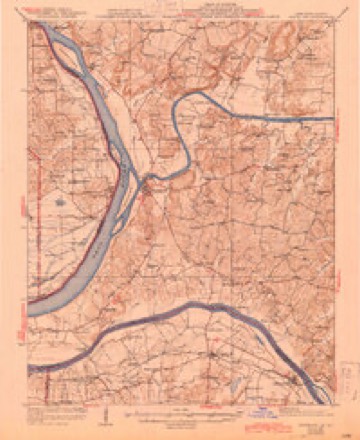
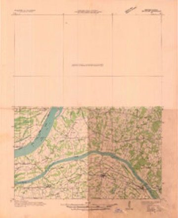
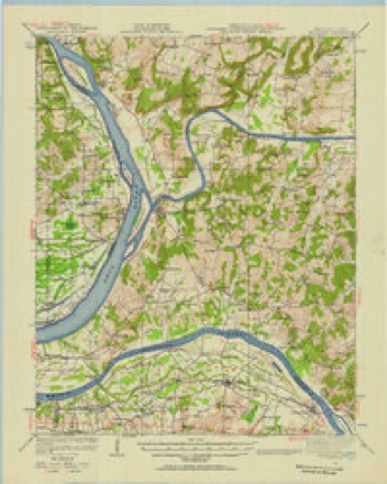
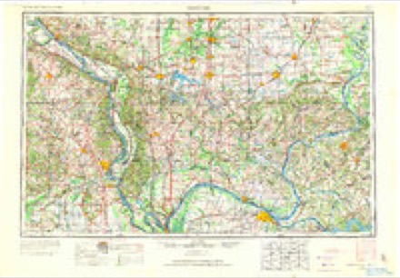
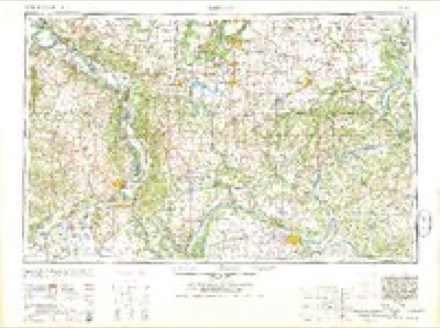
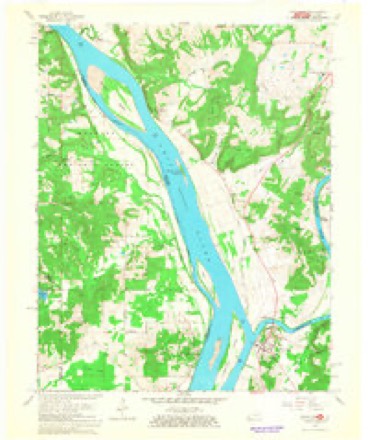
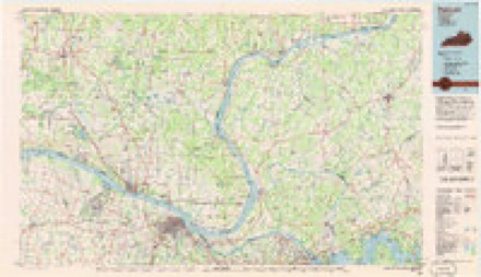
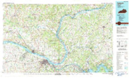
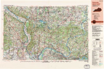
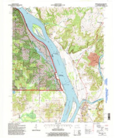
21 topographic sheets cover this place, the earliest surveyed in 1929 and the latest in 1996. It stands in the Salem census division. It lies in ZIP code area 42081. It stands on Bayou Creek. The Survey maps it on the Smithland quadrangle.
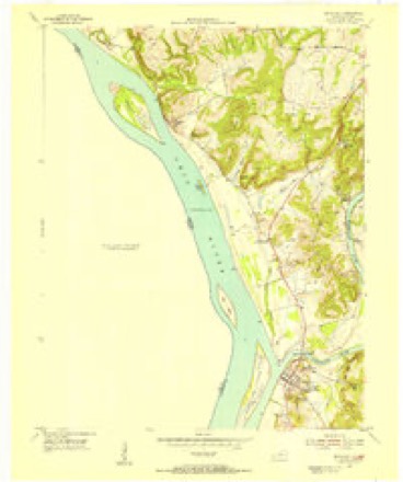
Topographic sheets covering this place
14 surveys from 21 printed sheetsMatched by testing this settlement's coordinate against the published boundary of every sheet in the United States Geological Survey's historical collection. Each opens the scanned sheet at the Survey.
- 1929 USGS Smithland quadrangle1:62500, 3 printings
- 1936 USGS Smithland quadrangle1:48000
- 1942 USGS Smithland quadrangle1:62500
- 1949 USGS Paducah quadrangle1:250000, 2 printings
- 1950 USGS Paducah quadrangle1:250000
- 1954 USGS Paducah quadrangle1:250000, 2 printings
- 1954 USGS Smithland quadrangle1:24000
- 1961 USGS Paducah quadrangle1:250000, 2 printings
- 1964 USGS Paducah quadrangle1:250000, 2 printings
- 1967 USGS Smithland quadrangle1:24000, 2 printings
- 1984 USGS Paducah quadrangle1:100000
- 1986 USGS Paducah quadrangle1:100000
- 1987 USGS Paducah quadrangle1:250000
- 1996 USGS Smithland quadrangle1:24000
Fires near this place
14 since 1999Regional context, not property-specific evidence. The federal wildfire occurrence database lists 14 fires within 5 miles of Bayou between 1999 and 2017, burning about 155 acres in total. 2 started naturally. 1 was recorded as arson. Distance is straight-line from the map coordinates, so a fire counted here may appear on a neighbouring settlement's page as well.
| Reported cause | Fires |
|---|---|
| Missing data/not specified/undetermined | 9 |
| Debris and open burning | 2 |
| Natural | 2 |
| Arson/incendiarism | 1 |
The most recent of them, most recent first, with the day each was reported and the service that recorded it.
| Date | Cause | Size | Reported by | Name on the report |
|---|---|---|---|---|
| 4 September 1999 | Missing data/not specified/undetermined | 2.0 acres | Shawnee National Forest | BRASHER CAVE |
| 1 September 2007 | Missing data/not specified/undetermined | 2.0 acres | Kentucky Division of Forestry | not named |
| 26 August 2012 | Natural | 1.3 acres | Shawnee National Forest | MEDLEY |
| 1 August 2012 | Natural | 18 acres | Shawnee National Forest | AZOTUS |
| 20 June 2007 | Missing data/not specified/undetermined | 5.0 acres | Kentucky Division of Forestry | not named |
| 5 April 2017 | Debris and open burning | 25 acres | Illinois Division of Forestry Resources | 2419 |
| 22 April 2010 | Missing data/not specified/undetermined | 1.0 acres | Illinois Division of Forestry Resources | 1722 |
| 7 March 2009 | Arson/incendiarism | 7.0 acres | Shawnee National Forest | AZOTUS |
Settlements close enough to share some of these fires:
Mines and quarries near this place
5 within 5 milesRegional context, not property-specific evidence. The federal mineral resources record lists 5 workings within 5 miles of Bayou: 3 prospects, 2 past producers. None of them still produces. What was taken out: Fluorine-Fluorite, Lead, Zinc, Fluorine-Fluorite, Stone, Crushed/Broken. Distance is straight-line from the map coordinates, so a quarry counted here may appear on a neighbouring settlement's page as well.
| Where | Site | Commodity | Status | Recorded |
|---|---|---|---|---|
| Bethel Sandstone Exposure | Stone, Crushed/Broken | Prospect | ||
| Bay City Mine | Fluorine-Fluorite, Lead, Zinc | Prospect | ||
| Bay City Mine | Fluorine-Fluorite, Lead, Zinc | Prospect | ||
| Compton Mine | Fluorine-Fluorite | Past Producer | Fluorite, Galena, Sphalerite | |
| Compton Mine | Fluorine-Fluorite | Past Producer |
Storms near this place
8 since 1999Regional context, not property-specific evidence. The National Weather Service names Bayou in 8 storm reports between 1999 and 2021: 4 flood, 1 thunderstorm wind, 1 tornado, 1 heavy rain. No death or injury is recorded in these reports. Each account below is quoted exactly as the forecast office filed it, from the NOAA Storm Events Database, and each date opens the federal record of that event.
| When | Event | Place named | Harm | What the report says |
|---|---|---|---|---|
| September 2006 | Tornado (F1) | Bayou | $350,000 | The tornado crossed the Ohio River from Pope County, Illinois into Livingston County in densely forested areas interspersed with some farmland. The average width of this upper-end F1 tornado was close to 300 yards. Peak winds were estimated near 110 MPH. One mobile home was destroyed, and roofs were partially torn off two houses. Eighteen homes sustained minor damage, consisting mostly of roofing and siding blown off. Twenty barns were heavily damaged or destroyed. Six silos were destroyed, including two of rebar-reinforced concrete construction. The tornado was videotaped by a camper from a bluff overlooking the Ohio River. The footage was shot from within Pope County, Illinois looking east across the river. |
| May 2011 | Flood | Bayou | $30,000 | no account filed |
| January 2013 | Flash Flood | Bayou | $10,000 | Heavy rain put numerous Livingston County highways underwater. Livingston County fire departments assisted state highway crews in putting up signs to mark as many flooded areas as possible along highways. At least one motorist had to be rescued after driving into floodwaters in the darkness. U.S. Highway 60 was closed at the 16 and 17 mile markers between Smithland and Burna, where water was reported to be at least 2 feet deep. Water was also over other spots along U.S. 60. Water was over the road on parts of Kentucky Highways 133, 1433, and 723. Water was over a number of county roads and city streets. |
| March 2021 | Flood | Bayou | $6,000 | Minor flooding occurred on the Ohio River. Low-lying bottomland fields and woodlands were flooded. A campground at Birdsville was flooded. |
| August 2013 | Heavy Rain | Bayou | - | Kentucky Transportation Cabinet highway maintenance crews placed water over road signs at a number of locations across the county. |
| January 1999 | Thunderstorm Wind | Bayou | - | Trees were down along the Ohio River, across the river from tornado damage in Pope County, Illinois. |
| February 2020 | Flood | Bayou | - | no account filed |
| April 2011 | Flood | Bayou | - | no account filed |
Nearest settlements
The eight closest, with where each one stands in the county. Distances are straight-line, computed from the Geographic Names Information System coordinates.
| Map | Place | Distance | Sheets |
|---|---|---|---|
| Birdsville | 2.2 miles | 21 | |
| Burna | 6.1 miles | 19 | |
| Hampton | 6.1 miles | 21 | |
| Miller Landing | 6.6 miles | 21 | |
| Lemen Landing | 7.6 miles | 19 | |
| Mullikin Junction | 8.0 miles | 19 | |
| Smithland | 8.2 miles | 21 | |
| Vicksburg | 8.6 miles | 19 |
Provenance
This settlement is recorded in the Geographic Names Information System as feature 507463. The sheet list is computed by point-in-boundary test against the United States Geological Survey's historical topographic inventory. Both are works of the United States government and carry no copyright under 17 U.S.C. 105.
Wildfire. Short, Karen C. 2022. Spatial wildfire occurrence data for the United States, 1992-2020 [FPA_FOD_20221014]. 6th Edition. Fort Collins, CO: Forest Service Research Data Archive. https://doi.org/10.2737/RDS-2013-0009.6 Collected with United States Government funding and usable without additional permissions or fees.
Mines and quarries. USGS Mineral Resources Data System (MRDS) https://mrdata.usgs.gov/mrds/ A work of the United States government, no copyright under 17 U.S.C. 105.
Storms. NOAA National Centers for Environmental Information, Storm Events Database https://www.ncei.noaa.gov/stormevents/ A work of the United States government, no copyright under 17 U.S.C. 105. Narratives are quoted verbatim from the National Weather Service report and are not edited or summarised.