 Block
Birdsville, Kentucky
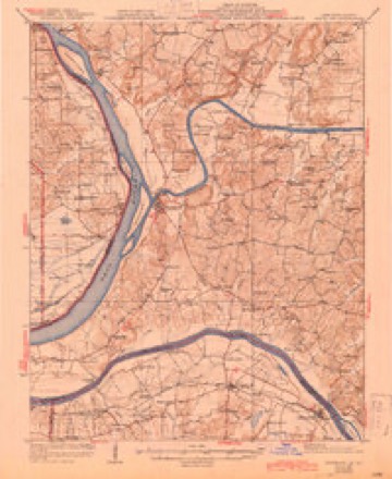
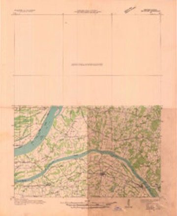
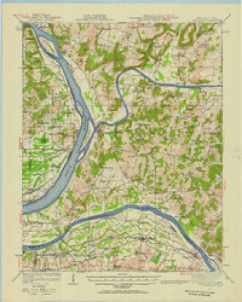
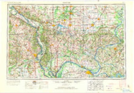
21 topographic sheets cover this place, the earliest surveyed in 1929 and the latest in 1996. It stands in the Salem census division. It lies in ZIP code area 42081. It stands on Phelps Creek. The Survey maps it on the Smithland quadrangle.
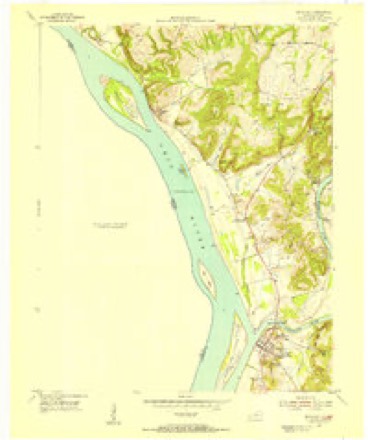
Topographic sheets covering this place
14 surveys from 21 printed sheetsMatched by testing this settlement's coordinate against the published boundary of every sheet in the United States Geological Survey's historical collection. Each opens the scanned sheet at the Survey.
- 1929 USGS Smithland quadrangle1:62500, 3 printings
- 1936 USGS Smithland quadrangle1:48000
- 1942 USGS Smithland quadrangle1:62500
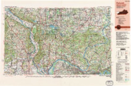
- 1949 USGS Paducah quadrangle1:250000, 2 printings
- 1950 USGS Paducah quadrangle1:250000
- 1954 USGS Paducah quadrangle1:250000, 2 printings
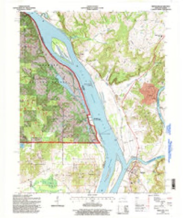
- 1954 USGS Smithland quadrangle1:24000
- 1961 USGS Paducah quadrangle1:250000, 2 printings
- 1964 USGS Paducah quadrangle1:250000, 2 printings
- 1967 USGS Smithland quadrangle1:24000, 2 printings
- 1984 USGS Paducah quadrangle1:100000
- 1986 USGS Paducah quadrangle1:100000
- 1987 USGS Paducah quadrangle1:250000
- 1996 USGS Smithland quadrangle1:24000
Fires near this place
21 since 1999Regional context, not property-specific evidence. The federal wildfire occurrence database lists 21 fires within 5 miles of Birdsville between 1999 and 2017, burning about 284 acres in total. 2 started naturally. 2 were recorded as arson. Distance is straight-line from the map coordinates, so a fire counted here may appear on a neighbouring settlement's page as well.
| Reported cause | Fires |
|---|---|
| Missing data/not specified/undetermined | 11 |
| Debris and open burning | 5 |
| Arson/incendiarism | 2 |
| Natural | 2 |
| Misuse of fire by a minor | 1 |
The most recent of them, most recent first, with the day each was reported and the service that recorded it.
| Date | Cause | Size | Reported by | Name on the report |
|---|---|---|---|---|
| 6 September 1999 | Misuse of fire by a minor | 16 acres | Kentucky Division of Forestry | not named |
| 4 September 1999 | Missing data/not specified/undetermined | 2.0 acres | Shawnee National Forest | BRASHER CAVE |
| 1 September 2007 | Missing data/not specified/undetermined | 2.0 acres | Kentucky Division of Forestry | not named |
| 26 August 2012 | Natural | 1.3 acres | Shawnee National Forest | MEDLEY |
| 1 August 2012 | Natural | 18 acres | Shawnee National Forest | AZOTUS |
| 26 July 2012 | Debris and open burning | 1.0 acres | Illinois Division of Forestry Resources | HINUS |
| 25 July 2012 | Debris and open burning | under an acre | Shawnee National Forest | HOHMAN |
| 20 June 2007 | Missing data/not specified/undetermined | 5.0 acres | Kentucky Division of Forestry | not named |
Settlements close enough to share some of these fires:
Mines and quarries near this place
4 within 5 milesRegional context, not property-specific evidence. The federal mineral resources record lists 4 workings within 5 miles of Birdsville: 2 past producers, 1 producer, 1 prospect. 1 still produces. What was taken out: Stone, Crushed/Broken, Fluorine-Fluorite, Zinc, Lead, Cadmium, Germanium, Gallium, Fluorine-Fluorite. Distance is straight-line from the map coordinates, so a quarry counted here may appear on a neighbouring settlement's page as well.
| Where | Site | Commodity | Status | Recorded |
|---|---|---|---|---|
| Dyers Hill Fluorspar Deposits | Fluorine-Fluorite, Zinc, Lead, Cadmium, Germanium, Gallium | Past Producer | 1950, 1956 | |
| Dyers Hill Mine | Fluorine-Fluorite | Past Producer | 1955 | |
| Lasher Project | Fluorine-Fluorite, Zinc | Prospect | 1970 | |
| Smithland Quarry | Stone, Crushed/Broken | Producer |
Storms near this place
13 since 2002Regional context, not property-specific evidence. The National Weather Service names Birdsville in 13 storm reports between 2002 and 2018: 7 flood, 3 thunderstorm wind, 2 tornado, 1 funnel cloud. No death or injury is recorded in these reports. Each account below is quoted exactly as the forecast office filed it, from the NOAA Storm Events Database, and each date opens the federal record of that event.
| When | Event | Place named | Harm | What the report says |
|---|---|---|---|---|
| May 2011 | Flood | Birdsville | $4,000,000 | Record flooding occurred on the Ohio River. At the Smithland river gage, the flood crest of 54.89 feet on the morning of May 6 was about 3.5 feet higher than the 1997 flood. The activation of the New Madrid Floodway by the U.S. Army Corps of Engineers spared the city of Smithland from an even higher crest that would likely have overtopped the makeshift levee protecting the city. The levee was on the verge of failure before the levee was blown up on the Mississippi River. With the detonation of the Mississippi River levee at Birds Point, Missouri, the Ohio River stopped rising or rose much more slowly at the Smithland gage. Due to flooding of the Ohio River, there was extensive sandbagging, and a temporary levee was constructed around Smithland. Homeowners were evacuated from Smithland and many other low-lying areas from Birdsville to Ledbetter. Lower sections of Ledbetter were evacuated. Preliminary estimates were that around 100 homes were flooded, up to the roofline in a couple of cases. Temporary shelters were set up for evacuees. Floodwaters entered a gas station on U.S. Highway 60 in Smithland. Several state roads were closed, along with numerous county roads. U.S. Highway 60 was closed to through traffic at Smithland, and sections of U.S. Highway 60 were raised above floodwaters in the Ledbetter area. Police established checkpoints on U.S. 60 to keep out sightseers. |
| March 2018 | Flood | Birdsville | $250,000 | Major flooding continued on the Ohio River from late February. At the Smithland Lock and Dam, the river crested at 50.14 feet on the 2nd. Flood stage is 40 feet. This crest was a little over a foot lower than the Flood of March, 1997. Several homes were evacuated in the county. Numerous roads were flooded and closed, including several state roads. The flooding threatened some parts of Smithland, where a large sandbagging operation was conducted. Highway 137 was flooded and closed from Highway 60 through the Birdsville area. |
| March 2011 | Flood | Birdsville | $50,000 | no account filed |
| June 2010 | Thunderstorm Wind | Birdsville | $25,000 | A campground along the Ohio River at Birdsville sustained minor to moderate damage. Two camper trailers were moved off their blocks. Some awnings were blown off campers. Several trees were uprooted. |
| June 2011 | Thunderstorm Wind | Birdsville | $2,000 | Trees were down across Highway 137 near U.S. Highway 60. The road was blocked. |
| April 2018 | Funnel Cloud | Birdsville | - | A funnel cloud was observed along the Ohio River. |
| May 2009 | Flood | Birdsville | - | Minor flooding of the Ohio River occurred. At the Smithland gage, where flood stage is 40 feet, the river crested at 41.33 feet on the 12th. Agricultural bottomland and low-lying areas were flooded. A private campground at Birdsville was flooded. |
| March 2008 | Flood | Birdsville | - | Minor flooding of the Ohio River occurred. At the Smithland gage, the river crested at 45.17 feet on March 28. Flood stage there is 40 feet, and moderate flooding begins at 48 feet. Parts of Kentucky 137 and 1436 were closed, affecting the communities of Birdsville and Bayou. Agricultural land and wooded river bottomlands were flooded. Crop losses were negligible since planting was not yet underway. |
| March 2008 | Flood | Birdsville | - | Water was over Highway 453 and a few local roads. No closures were reported. |
| May 2003 | Tornado (F1) | Birdsville | - | The tornado crossed the Ohio River near Birdsville, tracked northeast across Hampton, then dissipated before reaching Lola. Numerous large trees were blown down. Grain bins were destroyed. The few homes in the path of the tornado sustained roof damage. |
| May 2003 | Tornado (F1) | Birdsville | - | The tornado crossed the Ohio River from Pope County, Illinois and ended on the west side of Highway 137. A number of trees were blown down. |
| January 2002 | Thunderstorm Wind | Birdsville | - | Trees were blown down across roads just south of Highway 60. |
| February 2018 | Flood | Birdsville | - | no account filed |
Nearest settlements
The eight closest, with where each one stands in the county. Distances are straight-line, computed from the Geographic Names Information System coordinates.
| Map | Place | Distance | Sheets |
|---|---|---|---|
| Bayou | 2.2 miles | 21 | |
| Miller Landing | 4.5 miles | 21 | |
| Burna | 4.9 miles | 19 | |
| Lemen Landing | 5.6 miles | 19 | |
| Hampton | 5.9 miles | 21 | |
| Smithland | 6.1 miles | 21 | |
| Mullikin Junction | 6.5 miles | 19 | |
| Vicksburg | 6.6 miles | 19 |
Provenance
This settlement is recorded in the Geographic Names Information System as feature 487338. The sheet list is computed by point-in-boundary test against the United States Geological Survey's historical topographic inventory. Both are works of the United States government and carry no copyright under 17 U.S.C. 105.
Wildfire. Short, Karen C. 2022. Spatial wildfire occurrence data for the United States, 1992-2020 [FPA_FOD_20221014]. 6th Edition. Fort Collins, CO: Forest Service Research Data Archive. https://doi.org/10.2737/RDS-2013-0009.6 Collected with United States Government funding and usable without additional permissions or fees.
Mines and quarries. USGS Mineral Resources Data System (MRDS) https://mrdata.usgs.gov/mrds/ A work of the United States government, no copyright under 17 U.S.C. 105.
Storms. NOAA National Centers for Environmental Information, Storm Events Database https://www.ncei.noaa.gov/stormevents/ A work of the United States government, no copyright under 17 U.S.C. 105. Narratives are quoted verbatim from the National Weather Service report and are not edited or summarised.