 Block
From the record
8 National Register listings published here.
Sources: the National Register database, National Park Service
71 topographic sheets cover 27 settlements here, and 8 properties are on the National Register of Historic Places.
8 National Register listings published here.
Sources: the National Register database, National Park Service
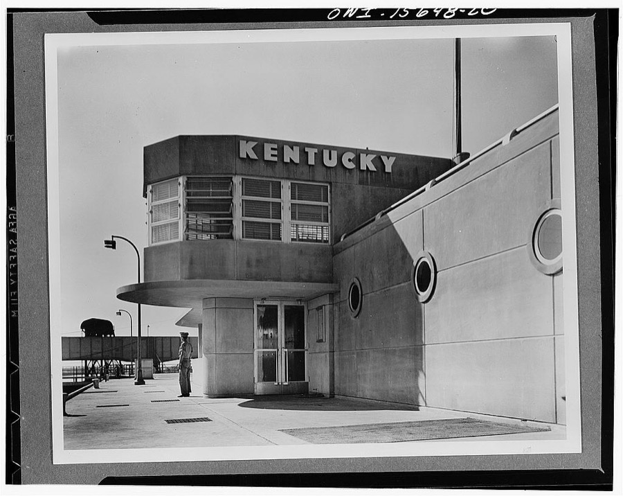
Taken for the Office of War Information and the Farm Security Administration, who photographed the country between 1935 and 1944. Works of United States government photographers, with no known restriction on use. Each opens its catalogue record.

Every property in this county listed on the National Register of Historic Places, with the year it was listed and the federal nomination document.
| Photograph | Property | Type | Listed | Reference |
|---|---|---|---|---|
| Fort Star | site | 1998 | 98000938 | |
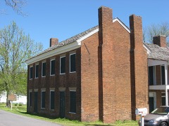 | Gower House | building | 1973 | 73000815 |
| Kentucky Hydroelectric Project | district | 2017 | 100001456 | |
 | Thomas Lawson House | building | 1978 | 78001378 |
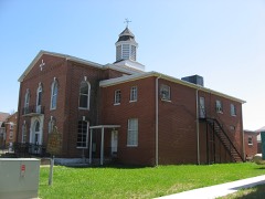 | Livingston County Courthouse and Clerk's Offices | building | 2011 | 11000794 |
 | Mantle Rock Archeological District | district | 2004 | 04001253 |
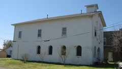 | Masonic Hall-Federal Commissary Building | building | 1998 | 98000939 |
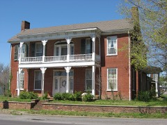 | Richard Olive House | building | 1982 | 82002732 |
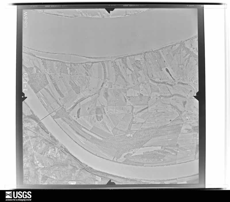
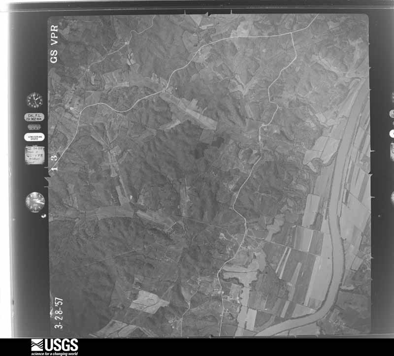
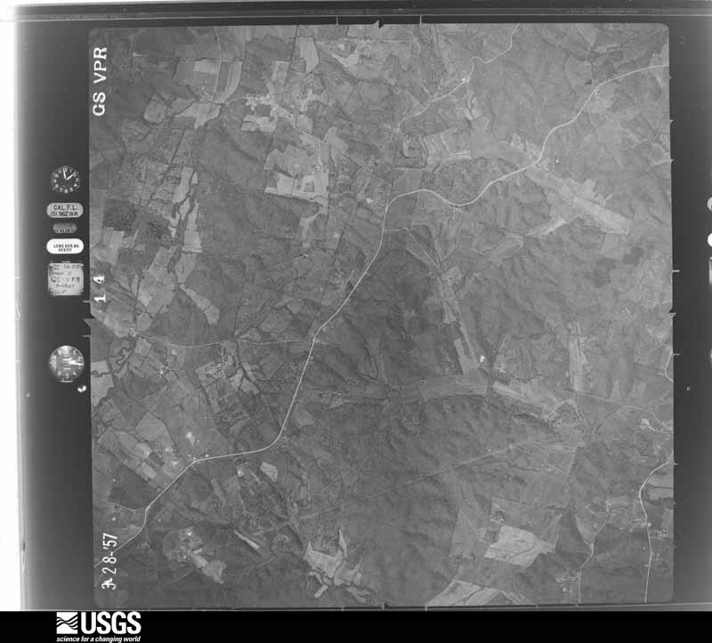
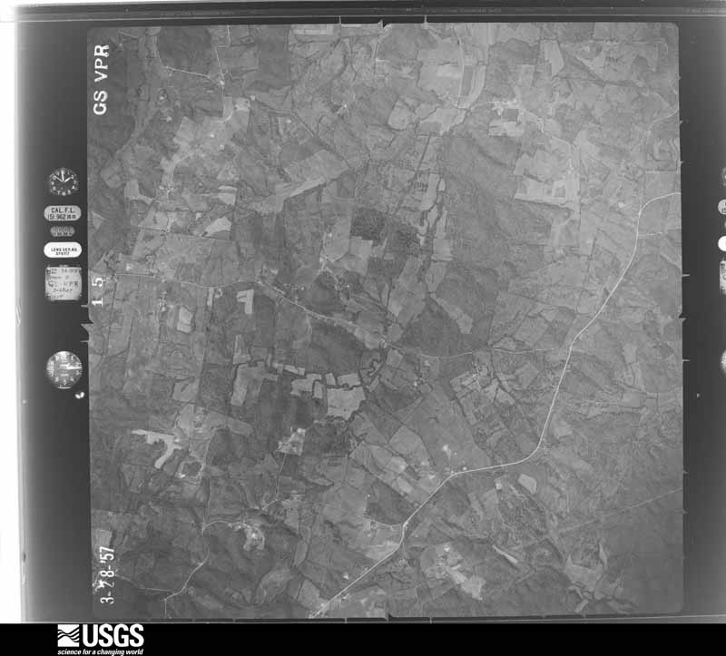
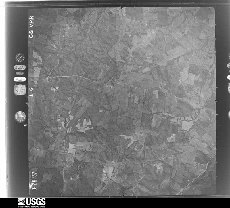
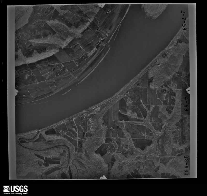
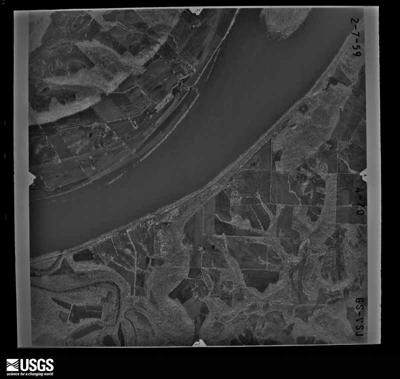
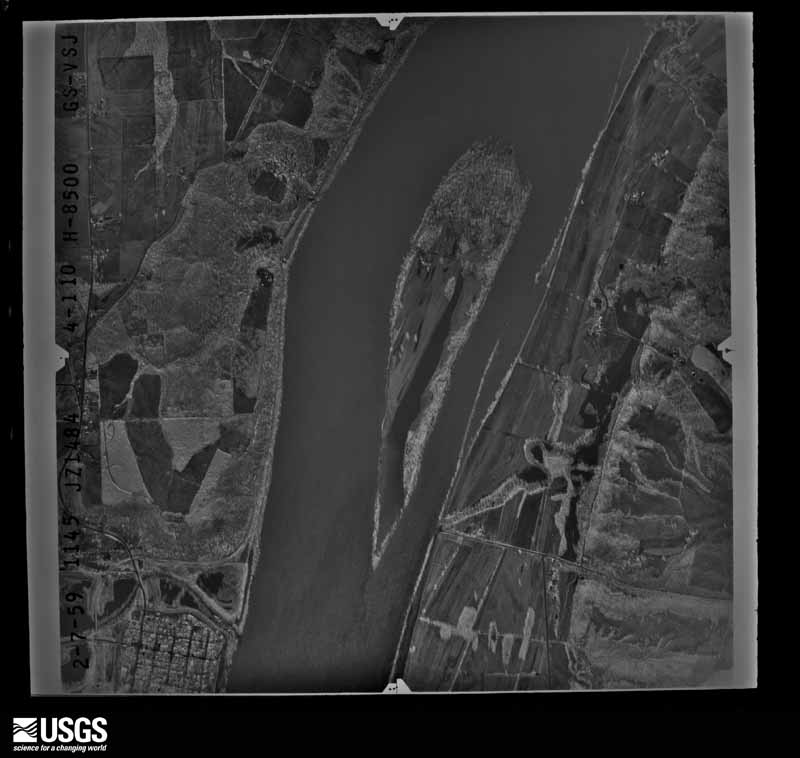
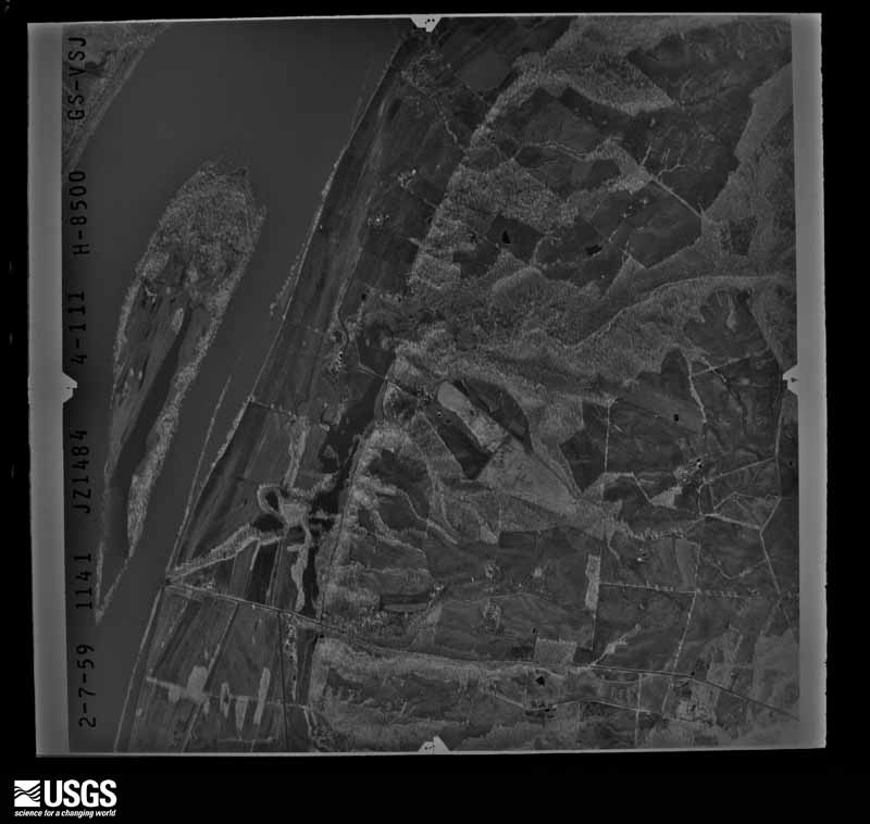
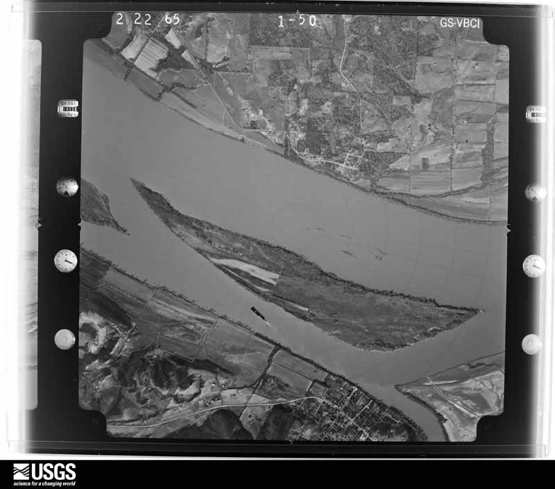
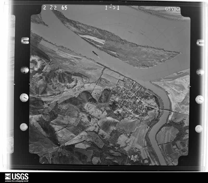
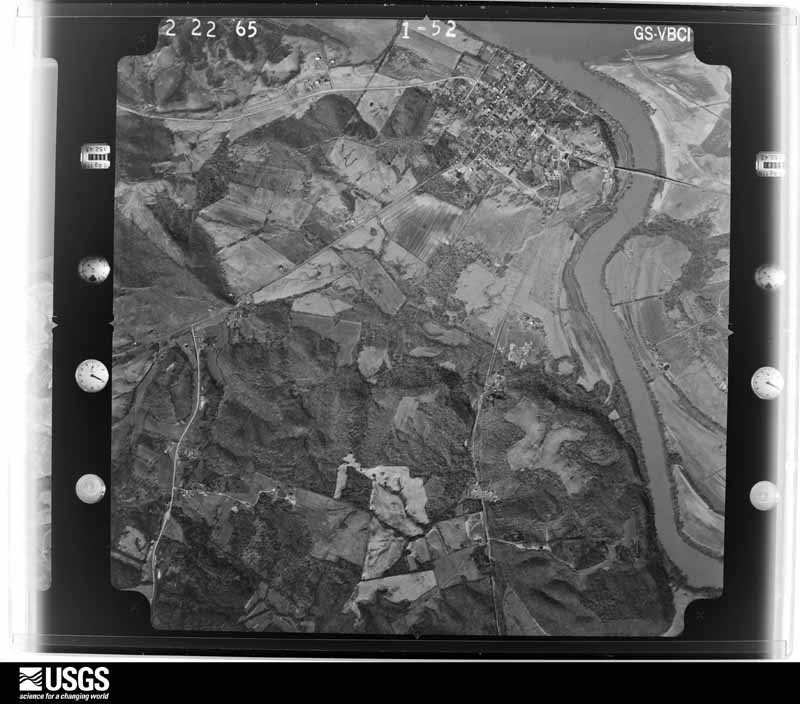
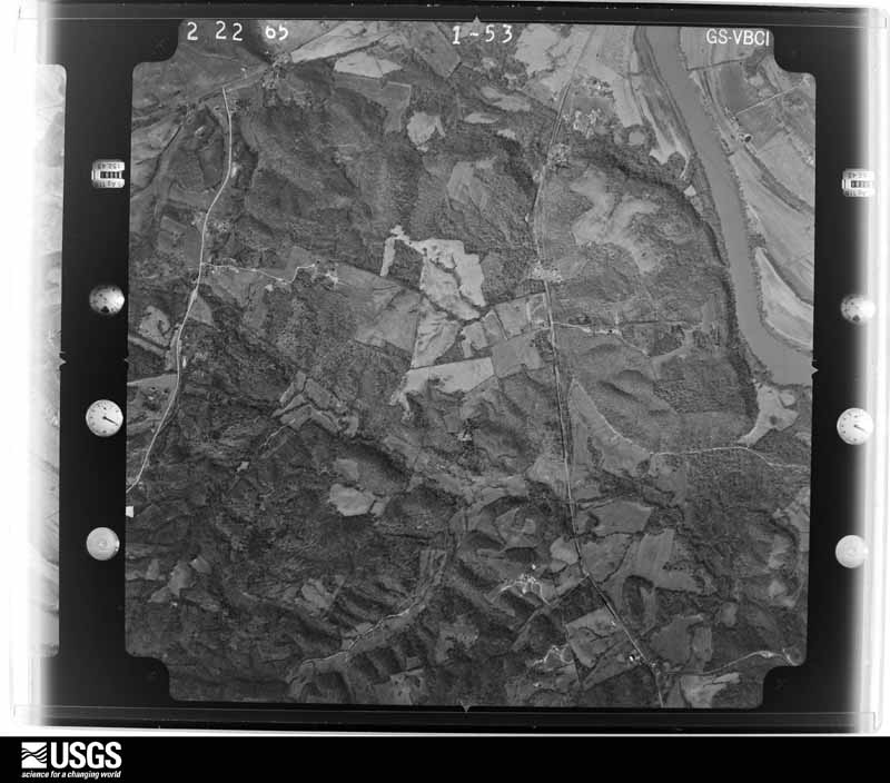
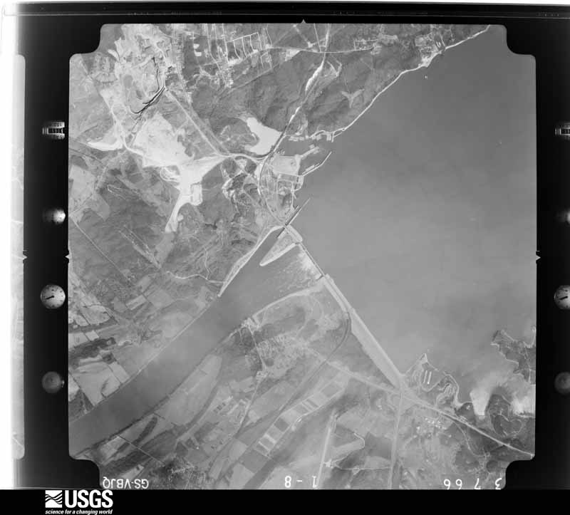
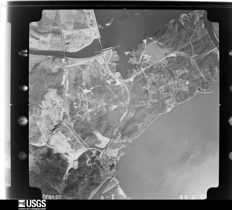
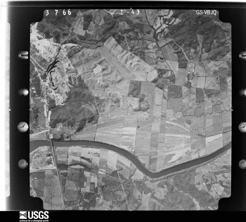
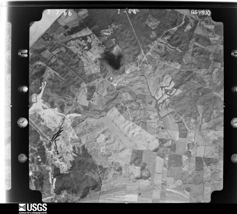
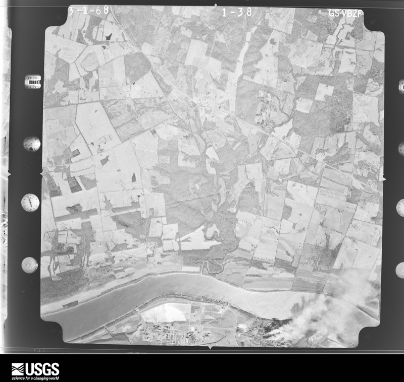
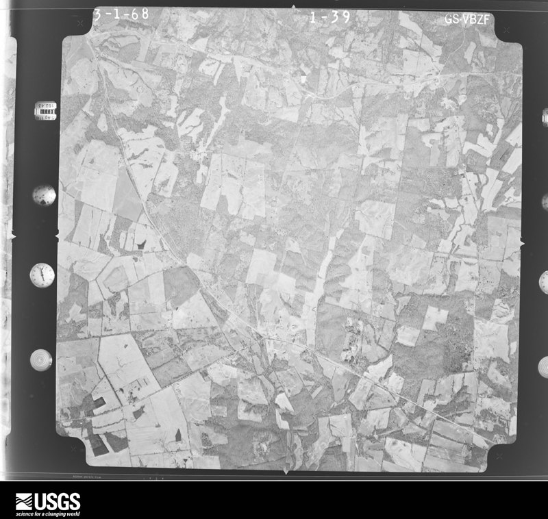
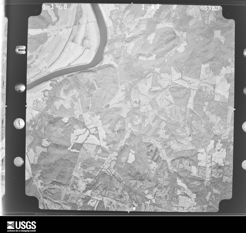
Flown by the U.S. Geological Survey between 1937 and 1989, the Aerial Photo Single Frames collection is the definitive mid-century view of the land: fields, roads and rivers as the camera saw them. The Survey holds 658 frames inside the rectangle that bounds this county; the 29 frames below were taken over the county itself, chosen across the decades of flights (at most four a year from that rectangle), so one flight cannot crowd out the rest. The full set is free to browse and download at EarthExplorer under the dataset Aerial Photo Single Frames.









The thermometers that kept this county's weather, as the federal records hold them. The extremes below are measured values from those records, not estimates.
Who lived here in 1950, one enumeration district at a time, as the Census Bureau described each district. Each row opens its official National Archives result, with Population Schedules and ED Maps available there.
Every wildfire the federal occurrence database records inside this county: 63 of them, burning about 735 acres. 1 started naturally and none was recorded as arson. Each settlement page carries the fires within five miles of it.
| Reported cause | Fires |
|---|---|
| Missing data/not specified/undetermined | 31 |
| Recreation and ceremony | 13 |
| Debris and open burning | 7 |
| Railroad operations and maintenance | 4 |
| Smoking | 3 |
| Equipment and vehicle use | 3 |
| Natural | 1 |
| Misuse of fire by a minor | 1 |
The five largest, by the area the report gives. None of them was recorded as arson.
| Date | Cause | Size | Reported by | Name on the report |
|---|---|---|---|---|
| 19 March 2010 | Missing data/not specified/undetermined | 150 acres | Kentucky Division of Forestry | not named |
| 13 September 2008 | Recreation and ceremony | 50 acres | Kentucky Division of Forestry | not named |
| 5 November 2008 | Missing data/not specified/undetermined | 45 acres | Kentucky Division of Forestry | not named |
| 7 September 2002 | Smoking | 30 acres | Kentucky Division of Forestry | not named |
| 25 March 2015 | Missing data/not specified/undetermined | 30 acres | Kentucky Division of Forestry | FAULKNER LANE FIRE |
| 31 October 2010 | Missing data/not specified/undetermined | 30 acres | Kentucky Division of Forestry | MCMURRAY ROAD |
| 12 March 2003 | Missing data/not specified/undetermined | 30 acres | Kentucky Division of Forestry | not named |
| 16 November 2020 | Equipment and vehicle use | 30 acres | Kentucky Division of Forestry | CAVE SPRINGS ROAD FIRE |
Every settlement page carries the fires within five miles of it - see the settlement index below.
The NOAA Storm Events Database holds 227 reports for this county, causing no deaths, 10 injuries and about $7,589,500 in recorded property damage. Each settlement page carries the reports that name it.
| Kind of event | Reports |
|---|---|
| Thunderstorm Wind | 85 |
| Hail | 62 |
| Flood | 32 |
| Flash Flood | 22 |
| Tornado | 13 |
| Heavy Rain | 9 |
| Funnel Cloud | 3 |
| Lightning | 1 |
The most serious of them, by death, then injury, then recorded damage. The accounts are quoted exactly as the forecast office filed them.
| When | Event | Place named | Harm | What the report says |
|---|---|---|---|---|
| April 1970 | Tornado (F3) | not stated | 5 hurt | no account filed |
| January 2002 | Thunderstorm Wind | Iuka | 3 hurt, $75,000 | A site survey was conducted by National Weather Service meteorologists. It was determined that straight-line winds near 90 MPH affected a small rural area near the intersection of Highway 866 and Country Road. The damage area was about one-half mile long and 500 yards wide. Two mobile homes were moved off their foundations and damaged, and one of those was deroofed. The front porch of a house was destroyed. Shingles were blown off a church and three houses. Two outdoor antennas were bent or destroyed. Ten to 15 trees were blown over, and 5 to 10 tombstones were blown over. Three persons received very minor injuries, such as cuts and scrapes. |
| May 2009 | Thunderstorm Wind | Smithland | 1 hurt, $60,000 | A poorly tied-down mobile home was moved several feet. An occupant of the mobile home sustained minor to moderate injuries. Two metal sheds were blown down. A number of trees were either snapped or uprooted. Several telephone poles were blown over. The microburst damage area was about one-half mile in length and width. |
| May 1996 | Thunderstorm Wind | Smithland | 1 hurt, $40,000 | no account filed |
| May 2011 | Flood | Birdsville | $4,000,000 | Record flooding occurred on the Ohio River. At the Smithland river gage, the flood crest of 54.89 feet on the morning of May 6 was about 3.5 feet higher than the 1997 flood. The activation of the New Madrid Floodway by the U.S. Army Corps of Engineers spared the city of Smithland from an even higher crest that would likely have overtopped the makeshift levee protecting the city. The levee was on the verge of failure before the levee was blown up on the Mississippi River. With the detonation of the Mississippi River levee at Birds Point, Missouri, the Ohio River stopped rising or rose much more slowly at the Smithland gage. Due to flooding of the Ohio River, there was extensive sandbagging, and a temporary levee was constructed around Smithland. Homeowners were evacuated from Smithland and many other low-lying areas from Birdsville to Ledbetter. Lower sections of Ledbetter were evacuated. Preliminary estimates were that around 100 homes were flooded, up to the roofline in a couple of cases. Temporary shelters were set up for evacuees. Floodwaters entered a gas station on U.S. Highway 60 in Smithland. Several state roads were closed, along with numerous county roads. U.S. Highway 60 was closed to through traffic at Smithland, and sections of U.S. Highway 60 were raised above floodwaters in the Ledbetter area. Police established checkpoints on U.S. 60 to keep out sightseers. |
| February 2019 | Flood | Ledbetter | $400,000 | A prolonged major river flood affected numerous homes and businesses in Livingston County. At Smithland, the Ohio River crested at 51.83 feet on the 25th. This was the worst flood since the historic flood of May 2011, when the river crested at 54.89 feet. The 1997 flood crest of 51.44 feet was similar to this crest. The primary focus of flood-fighting efforts revolved around the town of Smithland, the county seat. A makeshift levee was built along the river, requiring a multi-week closure of U.S. Highway 60 through town. The governor of Kentucky toured the site of the levee construction, which required the assistance of numerous state and federal agencies. Repeated heavy rainfall in west Kentucky and backwater from the Cumberland and Tennessee Rivers caused widespread flooding in the southern part of Livingston County. Smaller rivers and creeks had nowhere to drain and kept rising with each successive round of heavy rain. Numerous roads were closed around the county, especially in the flood plain. Some of the largest state roads that were closed included U.S. Highway 60 in Smithland and State Route 70. Floodwaters came right up to the edge of U.S. Highway 60 at several locations from Ledbetter to Burna, but the road was only closed briefly when the river crested. The closure of Highway 60 outside Smithland prompted the closure of Livingston County schools for a day. The county school district estimated 50 to 60 students were directly impacted by the floodwaters. The U.S. Army Corps of Engineers stopped all river traffic on the Ohio River at Smithland. |
| November 2013 | Tornado (EF2) | Smithland | $400,000 | The tornado moved across the Ohio River from Pope County, Illinois into Livingston County, Kentucky. The tornado passed just south of Smithland. The most intense damage in Livingston County was rated EF-2 with estimated 125 mph peak winds. Several mobile homes were destroyed. Thousands of trees were snapped or uprooted as the tornado passed mainly through forested hilly terrain. The black tornado funnel was videotaped as it moved across parts of the county. The tornado continued east into Lyon County, Kentucky. The total path length of this tornado was 42 miles. The parent supercell tracked from southeast Missouri across the Mississippi River through the Paducah area, then east to the Kentucky Lake area of western Kentucky. |
| September 2006 | Tornado (F1) | Bayou | $350,000 | The tornado crossed the Ohio River from Pope County, Illinois into Livingston County in densely forested areas interspersed with some farmland. The average width of this upper-end F1 tornado was close to 300 yards. Peak winds were estimated near 110 MPH. One mobile home was destroyed, and roofs were partially torn off two houses. Eighteen homes sustained minor damage, consisting mostly of roofing and siding blown off. Twenty barns were heavily damaged or destroyed. Six silos were destroyed, including two of rebar-reinforced concrete construction. The tornado was videotaped by a camper from a bluff overlooking the Ohio River. The footage was shot from within Pope County, Illinois looking east across the river. |
| March 2018 | Flood | Birdsville | $250,000 | Major flooding continued on the Ohio River from late February. At the Smithland Lock and Dam, the river crested at 50.14 feet on the 2nd. Flood stage is 40 feet. This crest was a little over a foot lower than the Flood of March, 1997. Several homes were evacuated in the county. Numerous roads were flooded and closed, including several state roads. The flooding threatened some parts of Smithland, where a large sandbagging operation was conducted. Highway 137 was flooded and closed from Highway 60 through the Birdsville area. |
| May 2010 | Flash Flood | Iuka | $250,000 | The Cumberland River rose rapidly as releases from Barkley Dam were increased to record levels. River levels rose at the rate of about one foot per hour. The tailwater elevation below the dam rose to around 350 feet. About a dozen residences were flooded, and about 10 others were evacuated because they were isolated by floodwaters. Vehicles and other equipment were damaged or destroyed by the rapidly rising floodwaters. The communities that were heavily affected were Iuka and the east side of Lake City. Sandbagging efforts helped avert damage to a few homes. A couple of houses on the outskirts of Tiline were flooded. There was extensive flooding of fields and woods. A number of roads were closed, including most of State Route 917 and State Route 93 near Iuka. A state of emergency was declared in the county. A Red Cross shelter was opened in Grand Rivers for displaced residents. |
| April 2018 | Tornado (EF2) | Burna | $175,000 | The tornado touched down in a very rural area along Highway 763, just north of Dyer Hill. Near the end of the damage track, a well-built two-story home was moved off its basement foundation. All basement walls were cracked, and water lines were broken. This is where the tornado reached its peak intensity of 125 mph. Dozens of trees were snapped or uprooted. Four vehicles were destroyed. One vehicle was rolled 50 feet. A few outbuildings were destroyed. |
| January 2008 | Thunderstorm Wind | Grand Rivers | $175,000 | At least nine sailboats were blown over that were stacked in drydock. Nearby trees were down. |
| June 2019 | Tornado (EF1) | Smithland | $100,000 | This tornado began on the south side of town and peeled the roof back on a church. A mobile home was destroyed. Other homes in the path sustained minor roof damage. Large trees were snapped, and numerous large branches were down. There was also minor damage to a gas station canopy. Peak winds were estimated near 110 mph. |
| January 2013 | Tornado (EF2) | Hampton | $100,000 | The tornado began on the southwest side of town and travelled northeast along Highway 838. Peak winds were estimated around 120 mph. The average path width was 175 yards. The sanctuary of a church collapsed. The steeple was blown off a second church, and some shingles were damaged. Several trees were blown down or snapped. A few homes received shingle damage. |
| July 2001 | Flash Flood | North Portion | $100,000 | Slow-moving thunderstorms produced torrential rainfall across northern parts of Livingston County, with around 5 inches in 24 hours. County officials estimated damage to roads was around 100,000 dollars. Road damage was reported in Burna, Salem, Carrsville, Lola, and Joy. A bridge was washed out on Campground Road near Hampton. Water undermined roads in Lola and Joy. Sections of two rural roads were rendered impassable by washouts. |
| March 1997 | Flash Flood | Smithland | $100,000 | no account filed |
| January 2000 | Flash Flood | Countywide | $90,000 | no account filed |
| May 2025 | Hail | Newbern | $50,000 | A swath of large hail fell with a storm moving eastward in southern Livingston County. Hail estimated to golf ball size fell near the Gum Spring Branch on KY-453. Rednaur Rd had truck windows broken out and house windows broken from hail. Damage to siding occurred to a home on Newburn Rd and to the roof, siding, and windows of a home on Sanders Cemetery Rd. Baseball size hail was reported on Greenwood Rd. |
| April 2023 | Thunderstorm Wind | Salem | $50,000 | In the Salem area on Highway 133, a 40-foot camper was thrown about 15 feet. Numerous large trees and power lines were down. An air conditioning unit was moved off the concrete pad. |
| July 2021 | Flash Flood | Salem | $50,000 | Several roads were closed due to flash flooding, including U.S. Highway 60 on the east edge of Salem between Kentucky 133 and Lola Road. U.S. Highway 60 was also closed near Kentucky 137 between Smithland and Burna. A couple of culverts were washed out on county roads. A narrow corridor of excessive rainfall occurred where storms trained across the same areas for several hours. Radar estimated 6 to 9 inches fell in a narrow corridor of west Kentucky from central Livingston across southern Crittenden County. There were a few confirmed rainfall measurements of 7-plus inches in southern Crittenden County. |
| May 2016 | Thunderstorm Wind | Lake City | $50,000 | Many trees were blown down. There was damage to cell phone towers. The damage was near mile marker 34 on Interstate 24. |
| March 2011 | Flood | Birdsville | $50,000 | no account filed |
| July 2016 | Flash Flood | Pinckneyville | $40,000 | A house in Smithland was evacuated by emergency personnel due to flooding. Floodwaters surrounded a house in Ledbetter. Between Ledbetter and Smithland, Kentucky Highway 937 was washed out. Highway 2232 in the Tiline area was underwater. |
| April 2002 | Tornado (F2) | Joy | $40,000 | This tornado crossed the Ohio River just upriver from Golconda, Illinois. It tracked eastward across northern Livingston County, over rural wooded and farm country. Many thousands of trees were blown down. Few structures were in the path of the tornado. A mobile home was destroyed, and at least a couple of farm buildings were damaged. |
| July 2024 | Thunderstorm Wind | Tiline | $35,000 | A line of storms moving southeastward resulted in downdraft winds destroying a barn while bringing down trees and powerlines. |
| June 2007 | Thunderstorm Wind | Smithland | $35,000 | Numerous trees were blown down along Kentucky Highway 453. One of the trees landed on a house, trapping a person inside. Another tree landed on a car. The highway was closed for over an hour. No injuries were reported. |
| June 2019 | Thunderstorm Wind | Burna | $30,000 | A line of thunderstorms produced pockets of wind damage in northern Livingston County. In downtown Salem, windows were blown out of a business. Large trees were uprooted and power lines were down in and near Salem. A large tree was down at Burna. |
| June 2018 | Thunderstorm Wind | Salem | $30,000 | Widespread damaging winds occurred across the county. Numerous trees and power lines were down. Near Burna, several trees were uprooted on Highway 60 near the intersection of Highway 135. Seven miles east of Smithland, a damage survey conducted by NWS personnel confirmed several large trees were snapped or uprooted by winds near 75 mph. Wooden building materials were scattered across the front yard of a residence. |
| May 2011 | Flood | Bayou | $30,000 | no account filed |
| June 2010 | Thunderstorm Wind | Birdsville | $25,000 | A campground along the Ohio River at Birdsville sustained minor to moderate damage. Two camper trailers were moved off their blocks. Some awnings were blown off campers. Several trees were uprooted. |
| April 1972 | Tornado (F2) | not stated | $25,000 | no account filed |
| May 2025 | Thunderstorm Wind | Ledbetter | $20,000 | A tree fell through the roof of a home on Gass Rd. |
| June 2019 | Tornado (EF1) | Vicksburg | $20,000 | Numerous trees were uprooted and snapped along the three-quarter mile path. The tornado was in a very rural area about four miles northeast of Smithland. Peak winds were estimated near 110 mph. |
| June 2010 | Thunderstorm Wind | Salem | $20,000 | Shingles were blown off roofs. |
| January 2008 | Thunderstorm Wind | Smithland | $20,000 | Numerous trees were down, blocking roadways countywide. A horse trailer was blown over on U.S. Highway 60. |
| April 2008 | Flash Flood | Newbern | $20,000 | Three feet of water surrounded a house in Salem. Water entered two other houses. |
| January 1996 | Thunderstorm Wind | Ledbetter | $20,000 | no account filed |
| April 2017 | Thunderstorm Wind | Newbern | $15,000 | A number of downed trees and power lines were reported throughout the county, mostly in the southern part between Smithland and Grand Rivers. Kentucky Highway 453 was restricted to one lane at the intersection of Highway 1889 due to several downed trees and power lines. The county rescue squad and area fire departments assisted with clearing trees from a number of roadways. |
| July 1998 | Flash Flood | South Portion | $15,000 | no account filed |
| March 2018 | Flood | Grand Rivers | $10,000 | Flooding along the lakeshore of Kentucky Lake inundated boat ramps, parking lots, a few access roads, and a park. Some campsites within the Land Between The Lakes National Recreation Area were flooded. The lake level rose to nearly 365 feet due to restricted water releases at Kentucky Dam. The water was held back to mitigate flooding on the Ohio River. The Kentucky Lake winter pool stage is 355 feet, and the normal summer pool stage is 359 feet. |
| May 2017 | Thunderstorm Wind | Joy | $10,000 | A number of trees and power lines were blown down in northern Livingston County. About a mile northeast of Lola, roofing material was blown off a garage, and a utility pole was snapped. Kentucky Highways 133 and 838 were blocked by downed tree limbs and power lines in the Lola area. Kentucky Highway 1436 was partially blocked near Joy. |
| August 2016 | Thunderstorm Wind | Ledbetter | $10,000 | Several trees were blown down. One tree fell on a church, damaging part of the building. |
| January 2013 | Flash Flood | Bayou | $10,000 | Heavy rain put numerous Livingston County highways underwater. Livingston County fire departments assisted state highway crews in putting up signs to mark as many flooded areas as possible along highways. At least one motorist had to be rescued after driving into floodwaters in the darkness. U.S. Highway 60 was closed at the 16 and 17 mile markers between Smithland and Burna, where water was reported to be at least 2 feet deep. Water was also over other spots along U.S. 60. Water was over the road on parts of Kentucky Highways 133, 1433, and 723. Water was over a number of county roads and city streets. |
| May 2010 | Flash Flood | Smithland | $10,000 | Kentucky Highway 866 was closed over the Gum Fork Creek due to possible bridge damage. Kentucky Highway 453 was under eight inches of water near Smithland. |
| June 2010 | Thunderstorm Wind | Salem | $10,000 | Multiple trees were blown down in town. |
| January 2008 | Thunderstorm Wind | Salem | $10,000 | A building was damaged, and a shed was destroyed. |
| June 2000 | Thunderstorm Wind | Smithland | $10,000 | Several trees were down in Burna, and several large tree limbs were down in Smithland. |
| July 2001 | Flash Flood | Grand Rivers | $10,000 | no account filed |
| December 2008 | Thunderstorm Wind | Smithland | $9,000 | Several trees were down throughout the county. |
| February 2011 | Thunderstorm Wind | Vicksburg | $8,000 | A house trailer was damaged between Smithland and Tiline. The residents were evacuated. An attached shed was torn off. |
| October 2007 | Thunderstorm Wind | Tiline | $8,000 | A 500-gallon propane tank was flipped over. A 15 by 20 foot outbuilding was destroyed. |
| May 2002 | Thunderstorm Wind | Burna | $8,000 | A thunderstorm downburst with estimated peak winds of 80 MPH struck the small community of Burna. The damage area, measuring about 1/2 mile long and 1/4 mile wide, was on the north side of Burna and U.S. Highway 60. About a dozen large trees were uprooted or broken, and mainly minor damage occurred to at least 5 homes and businesses. A small building, about 15 by 40 feet, was moved off its foundation. |
| March 2021 | Flood | Bayou | $6,000 | Minor flooding occurred on the Ohio River. Low-lying bottomland fields and woodlands were flooded. A campground at Birdsville was flooded. |
| May 2024 | Thunderstorm Wind | Salem | $5,000 | Power lines were downed over a road in Salem as a late afternoon thunderstorm crossed Livingston County. |
| October 2013 | Thunderstorm Wind | Iuka | $5,000 | One tree and several large limbs were blown down, mainly along Highway 453. |
| June 2011 | Thunderstorm Wind | Smithland | $5,000 | Large tree limbs were down. Siding was blown off a house. |
| May 2010 | Flood | Lake City | $5,000 | High water levels on Kentucky Lake caused flooding of a marina, boat ramps, and lake access roads. Water backed up into bays and tributary creeks, causing flooding inland from the lake. Large parts of Kentucky Lake were closed to recreational boating by order of the Coast Guard. |
| June 2008 | Thunderstorm Wind | Newbern | $5,000 | Trees were down, including two that blocked roads. State Routes 70 and 453 were each blocked. |
| April 2004 | Thunderstorm Wind | Salem | $5,000 | Wind damage was reported between Salem and Grand Rivers. Trees, power lines, and power poles were blown down. Structural damage occurred near Salem. |
| January 2000 | Thunderstorm Wind | Smithland | $5,000 | About 8 telephone poles were blown over. Shingles and tin roofs were blown off. |
The Survey's mineral resources record lists 51 workings inside this county. 4 still produce and 47 are closed or unrecorded. Each settlement page carries the workings within five miles of it.
| Commodity | Workings |
|---|---|
| Fluorine-Fluorite | 36 |
| Zinc | 4 |
| Stone, Crushed/Broken | 3 |
| Sand and Gravel, Construction | 2 |
| Clay | 2 |
| Fluorine-Fluorite, Zinc, Barium-Barite | 1 |
| Fluorine-Fluorite, Zinc, Lead | 1 |
| Cadmium, Germanium, Gallium | 1 |
| Barium-Barite, Fluorine-Fluorite | 1 |
| Fluorine-Fluorite, Barium-Barite | 1 |
| Lead, Fluorine-Fluorite | 1 |
| Zinc, Lead | 1 |
| Barium-Barite | 1 |
| Fluorine-Fluorite, Zinc | 1 |
The least common of them first, because a county's hundredth gravel pit says nothing its first ten did not.
| Where | Site | Commodity | Status | Recorded |
|---|---|---|---|---|
| Alcoa Shaft Fluorspar Mine | Fluorine-Fluorite, Zinc, Barium-Barite | Past Producer | Barite, Fluorite, Sphalerite | |
| Burns Mine | Zinc, Barium-Barite, Fluorine-Fluorite | Past Producer | ||
| Campbell-Crotser | Fluorine-Fluorite, Zinc, Lead | Prospect | 1972 | |
| Chittenden - Black - Wright | Fluorine-Fluorite, Barium-Barite | Prospect | 1919 | |
| Dyers Hill Fluorspar Deposits | Fluorine-Fluorite, Zinc, Lead, Cadmium, Germanium, Gallium | Past Producer | 1950, 1956 | |
| Lasher Project | Fluorine-Fluorite, Zinc | Prospect | 1970 | |
| May Mine | Zinc, Lead, Fluorine-Fluorite | Prospect | ||
| Wright Mine | Fluorine-Fluorite, Barium-Barite | Past Producer | ||
| Floating Plant Ingram | Sand and Gravel, Construction | Producer | ||
| Jesse Walker Prospect | Clay | Prospect | ||
| Lake City Mine | Sand and Gravel, Construction | Producer | ||
| Valley Divide Clay Bed | Clay | Prospect | ||
| Reed Mine | Stone, Crushed/Broken | Producer | ||
| Smithland Quarry | Stone, Crushed/Broken | Past Producer | ||
| Smithland Quarry | Stone, Crushed/Broken | Producer | ||
| Hutson Zinc Mine | Zinc | Past Producer | ||
| Sunderland Prospect | Zinc | Prospect | ||
| Alley Deposit | Fluorine-Fluorite | Prospect | 1970 | |
| B.S.Watson Prospect | Fluorine-Fluorite | Prospect | ||
| Babb-Guill Mine | Fluorine-Fluorite | Past Producer | 1900, 1924 | |
| Bennett-Shelby | Fluorine-Fluorite | Past Producer | 1900, 1926 | |
| Billy Owl Mine | Fluorine-Fluorite | Past Producer | ||
| Bonanza | Fluorine-Fluorite | Past Producer | 1902, 1903 | |
| Campbell Deposit | Fluorine-Fluorite | Occurrence | ||
| Cullen Mine | Fluorine-Fluorite | Past Producer | Underground | |
| Cullen No2 | Fluorine-Fluorite | Past Producer | 1968 | |
| Dyers Hill Mine | Fluorine-Fluorite | Past Producer | 1955 | |
| Eagle-Butlar Mine | Fluorine-Fluorite | Past Producer | ||
| Eagle-Cullen | Fluorine-Fluorite | Past Producer | 1899 | |
| Green Mine | Fluorine-Fluorite | Past Producer | ||
| Grimes | Fluorine-Fluorite | Past Producer | 1900 | |
| John Butler | Fluorine-Fluorite | Occurrence | 1900 | |
| Kemper Prospect | Fluorine-Fluorite | Prospect | ||
| Kentucky-Babb | Fluorine-Fluorite | Past Producer | 1905, 1935 | |
| Kirk | Fluorine-Fluorite | Prospect | ||
| Klondike Mine | Fluorine-Fluorite | Past Producer | 1950 | |
| Lewis Prospect | Fluorine-Fluorite | Prospect | ||
| Lindley Prospect | Fluorine-Fluorite | Prospect | ||
| Loveless Mine | Fluorine-Fluorite | Past Producer | ||
| Mcclure Prospect | Fluorine-Fluorite | Prospect | ||
| Mineral Ridge Mine | Fluorine-Fluorite | Past Producer | ||
| Mitchell Mine | Fluorine-Fluorite | Past Producer | ||
| Nancy Hanks Property | Fluorine-Fluorite | Unknown | 1900, 1908 | |
| Old Dell Robertson Prospect | Fluorine-Fluorite | Prospect | ||
| Royal Mine | Fluorine-Fluorite | Past Producer | ||
| Shouse Mine | Fluorine-Fluorite | Past Producer | ||
| Suits Prospect | Fluorine-Fluorite | Prospect | ||
| Teer | Fluorine-Fluorite | Occurrence | ||
| W.H.Null Prospect | Fluorine-Fluorite | Prospect | ||
| Wooldridge Farm Prospect | Fluorine-Fluorite | Prospect | ||
| Wyatt Prospect | Fluorine-Fluorite | Prospect |
Named settlements recorded in the Geographic Names Information System, each with the topographic sheets covering it. Villages, hamlets and abandoned places alike. Each is shown with the nearest named watercourse or landform and the survey quadrangle it falls on.
Salem census division · 42081 · On Phelps Creek · Smithland quadrangle
21 sheets, 1929 to 1996
Salem census division · 42081 · On Buck Creek · Rosiclare quadrangle
24 sheets, 1916 to 1996
Smithland census division · 42081 · On Yancy Creek · Calvert City quadrangle
23 sheets, 1929 to 1993
Smithland census division · 42058 · On Drake Branch · Little Cypress quadrangle
22 sheets, 1929 to 1987
Salem census division · 42047 · On Whippoorwill Creek · Lola quadrangle
21 sheets, 1916 to 1987
Smithland census division · 42081 · Near Jewel Hill · Burna quadrangle
19 sheets, 1929 to 1987
Smithland census division · 42045 · On Ross Branch Richland Creek · Grand Rivers quadrangle
20 sheets, 1928 to 1993
Smithland census division · 42045 · On Russell Creek · Grand Rivers quadrangle
20 sheets, 1928 to 1993
Smithland census division · 42058 · On Drake Branch · Little Cypress quadrangle
22 sheets, 1929 to 1987
Smithland census division · 42083 · On Bissell Creek · Burna quadrangle
19 sheets, 1929 to 1987
Smithland census division · 42083 · Near Japanese Hill · Smithland quadrangle
21 sheets, 1929 to 1996
Smithland census division · 42081 · On Sandy Creek · Burna quadrangle
19 sheets, 1929 to 1987
Smithland census division · 42083 · On Hickory Creek · Burna quadrangle
19 sheets, 1929 to 1987
Smithland census division · 42045 · On Gum Spring Branch · Calvert City quadrangle
23 sheets, 1929 to 1993
Salem census division · 42078 · On Cypress Creek · Dycusburg quadrangle
18 sheets, 1928 to 1987
Smithland census division · 42081 · Near Cemetery Hill · Smithland quadrangle
21 sheets, 1929 to 1996
Smithland census division · 42045 · On Chaudet Creek · Calvert City quadrangle
23 sheets, 1929 to 1993
Smithland census division · 42083 · On Lick Creek · Dycusburg quadrangle
18 sheets, 1928 to 1987
Smithland census division · 42058 · On Hodges Creek · Little Cypress quadrangle
22 sheets, 1929 to 1987
Smithland census division · 42083 · Near Haw Hill · Burna quadrangle
19 sheets, 1929 to 1987