 Block
Rowlandtown, Kentucky
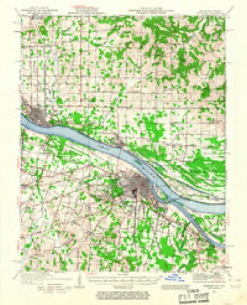
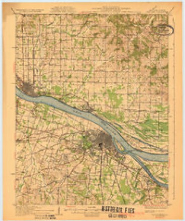
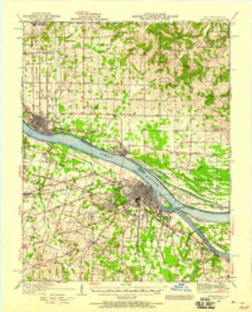
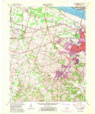
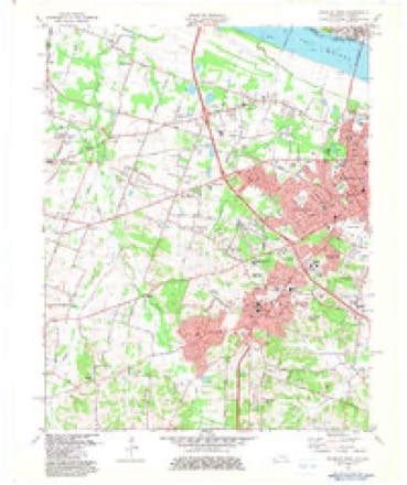
22 topographic sheets cover this place, the earliest surveyed in 1926 and the latest in 1987. It stands in the Paducah census division. It lies in ZIP code area 42001. The Survey maps it on the Paducah West quadrangle.
On record in Rowlandtown
Buildings and businesses the archive holds for this place. Each opens its own page, with the source record it came from.
On the National Register within a mile 5 records
The National Register names another town for these. They stand within one mile of this settlement's coordinate.
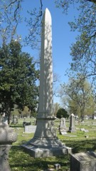 Confederate Monument in Paducahlisted 1997 · 0.7 miles away
- California Apartmentslisted 2016 · 0.2 miles away
- Paducah Northside Historic Districtlisted 2022 · 0.9 miles away
- Jefferson Street-Fountain Avenue Residential District (Boundary Increase)listed 2012 · 0.9 miles away
- Home of the Friendlesslisted 2000 · 0.9 miles away
Topographic sheets covering this place
14 surveys from 22 printed sheetsMatched by testing this settlement's coordinate against the published boundary of every sheet in the United States Geological Survey's historical collection. Each opens the scanned sheet at the Survey.
- 1926 USGS Paducah quadrangle1:62500
- 1929 USGS Paducah quadrangle1:62500, 4 printings
- 1940 USGS Paducah quadrangle1:62500
- 1949 USGS Paducah quadrangle1:250000, 2 printings
- 1950 USGS Paducah quadrangle1:250000
- 1954 USGS Paducah quadrangle1:250000, 2 printings
- 1954 USGS Paducah West quadrangle1:24000
- 1958 USGS Paducah West quadrangle1:24000, 2 printings
- 1961 USGS Paducah quadrangle1:250000, 2 printings
- 1964 USGS Paducah quadrangle1:250000, 2 printings
- 1982 USGS Paducah West quadrangle1:24000
- 1984 USGS Paducah quadrangle1:100000
- 1986 USGS Paducah quadrangle1:100000
- 1987 USGS Paducah quadrangle1:250000
Fires near this place
22 since 1997Regional context, not property-specific evidence. The federal wildfire occurrence database lists 22 fires within 5 miles of Rowlandtown between 1997 and 2014, burning about 81 acres in total. None started naturally. 2 were recorded as arson. Distance is straight-line from the map coordinates, so a fire counted here may appear on a neighbouring settlement's page as well.
| Reported cause | Fires |
|---|---|
| Missing data/not specified/undetermined | 9 |
| Recreation and ceremony | 5 |
| Debris and open burning | 4 |
| Arson/incendiarism | 2 |
| Railroad operations and maintenance | 1 |
| Smoking | 1 |
The most recent of them, most recent first, with the day each was reported and the service that recorded it.
| Date | Cause | Size | Reported by | Name on the report |
|---|---|---|---|---|
| 25 September 1999 | Missing data/not specified/undetermined | 5.0 acres | Kentucky Division of Forestry | not named |
| 23 September 1999 | Smoking | 3.0 acres | Kentucky Division of Forestry | not named |
| 20 September 2004 | Missing data/not specified/undetermined | 10 acres | Kentucky Division of Forestry | not named |
| 16 August 2012 | Railroad operations and maintenance | 3.0 acres | Kentucky Division of Forestry | SOUTH FRIE |
| 1 August 2012 | Recreation and ceremony | 2.0 acres | Kentucky Division of Forestry | JOHNY KING |
| 6 July 2012 | Missing data/not specified/undetermined | 1.0 acres | Kentucky Division of Forestry | FRIENDSHIP |
| 19 July 2011 | Debris and open burning | under an acre | Illinois Division of Forestry Resources | BUSCLAS |
| 15 June 2011 | Missing data/not specified/undetermined | 1.0 acres | Illinois Division of Forestry Resources | STEVENS |
Settlements close enough to share some of these fires:
Storms near this place
12 since 2008Regional context, not property-specific evidence. The National Weather Service names Rowlandtown in 12 storm reports between 2008 and 2025: 11 flood, 1 thunderstorm wind. The reports record 1 death and 4 injuries. Each account below is quoted exactly as the forecast office filed it, from the NOAA Storm Events Database, and each date opens the federal record of that event.
| When | Event | Place named | Harm | What the report says |
|---|---|---|---|---|
| March 2011 | Flood | Rowlandtown | 1 killed, 4 hurt, $50,000 | no account filed |
| March 2024 | Thunderstorm Wind | Rowlandtown | $50,000 | A small area of enhanced straight line wind damage from a downburst blew power lines onto a home and downed trees on Strathmoor Blvd in Paducah. The downburst also removed a metal roof from a building on N 8th St. Numerous other powerlines were downed in the area as well. |
| January 2016 | Flood | Rowlandtown | $10,000 | Moderate flooding continued into January on the Ohio River. At the Paducah river gage, the river crested at 46.0 feet around noon on New Years Eve. Flood stage is 39 feet at Paducah. Parts of Kentucky Highway 1420 were closed in the flood plain west of Paducah. The riverfront park near downtown Paducah was flooded and closed. Ohio River backwater was responsible for flooding of the Clarks River in eastern McCracken County. There was considerable flooding of low-lying bottomland fields and woods, and water encroached on several residences. Near the Clarks River, a few outbuildings were flooded, and Highways 787, 1255, and 131 were closed. |
| December 2015 | Flood | Rowlandtown | $10,000 | Moderate flooding occurred on the Ohio River. At the Paducah river gage, the river crested at 46.0 feet around noon on New Years Eve. Flood stage is 39 feet at Paducah. Parts of Kentucky Highway 1420 were closed in the flood plain west of Paducah. The riverfront park near downtown Paducah was flooded and closed. Ohio River backwater was responsible for flooding of the Clarks River in eastern McCracken County. There was considerable flooding of low-lying bottomland fields and woods, and water encroached on several residences. Near the Clarks River, a few outbuildings were flooded, and Highways 787, 1255, and 131 were closed. The flooding continued into January. |
| March 2021 | Flood | Rowlandtown | $2,000 | Minor flooding occurred on the Ohio River. Low-lying woods and farmland near the river were flooded. Some lesser-travelled river access roads were flooded. Public parks along the Paducah riverfront were closed. |
| December 2011 | Flood | Rowlandtown | $1,000 | Minor flooding of low-lying fields occurred along the Ohio River. Some park land, river access roads, and boat ramps were flooded in and near Paducah. |
| February 2025 | Flood | Rowlandtown | - | Minor to moderate flooding of agricultural bottomland and surrounding low-lying areas occurred near Paducah. The river crested at 43.23' on the 19th and hovered near that level from 19th through the 24th. The moderate flood level is 43'. |
| January 2023 | Flood | Rowlandtown | - | Flooded roadways were reported at several locations in the Paducah area, mostly flood-prone underpasses and low spots. Rainfall amounts of 2 to 4 inches were reported. The highest 24-hour rainfall report in the county was 3.46 inches from a cocorahs observer in Lone Oak, southwest of Paducah. |
| February 2022 | Flood | Rowlandtown | - | The Ohio River rose above flood stage and remained there into March. The crest occurred in March. |
| March 2008 | Flood | Rowlandtown | - | Moderate flooding of the Ohio River occurred. At the Paducah gage, the river crested at 45.55 feet on March 28. Flood stage there is 39 feet, and moderate flooding begins at 43 feet. The riverfront park near downtown Paducah was mostly flooded. West of the Interstate 24 bridge, a section of Noble Road was closed by flooding, and water approached several homes. Many acres of agricultural land were flooded. Crop losses were negligible since planting was not yet underway. |
| April 2020 | Flood | Rowlandtown | - | no account filed |
| January 2019 | Flood | Rowlandtown | - | no account filed |
Nearest settlements
The eight closest, with where each one stands in the county. Distances are straight-line, computed from the Geographic Names Information System coordinates.
| Map | Place | Distance | Sheets |
|---|---|---|---|
| Hinkleville | 0.9 miles | 22 | |
| Avondale Heights | 1.6 miles | 22 | |
| Paducah | 1.9 miles | 24 | |
| Cecil | 1.9 miles | 22 | |
| Littleville | 2.6 miles | 24 | |
| Forest Hill | 2.7 miles | 22 | |
| Futrell | 3.0 miles | 22 | |
| Tyler | 3.5 miles | 24 |
Provenance
This settlement is recorded in the Geographic Names Information System as feature 502433. The sheet list is computed by point-in-boundary test against the United States Geological Survey's historical topographic inventory. Both are works of the United States government and carry no copyright under 17 U.S.C. 105.
Wildfire. Short, Karen C. 2022. Spatial wildfire occurrence data for the United States, 1992-2020 [FPA_FOD_20221014]. 6th Edition. Fort Collins, CO: Forest Service Research Data Archive. https://doi.org/10.2737/RDS-2013-0009.6 Collected with United States Government funding and usable without additional permissions or fees.
Storms. NOAA National Centers for Environmental Information, Storm Events Database https://www.ncei.noaa.gov/stormevents/ A work of the United States government, no copyright under 17 U.S.C. 105. Narratives are quoted verbatim from the National Weather Service report and are not edited or summarised.