 Block
Beauford, Minnesota
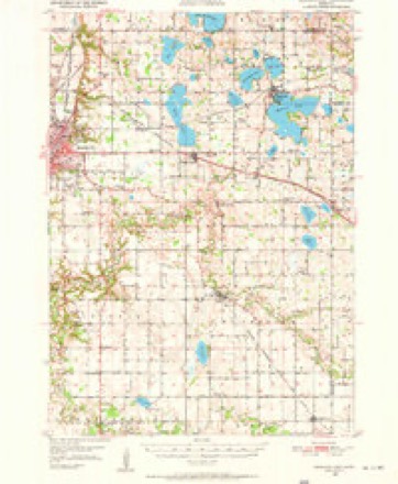
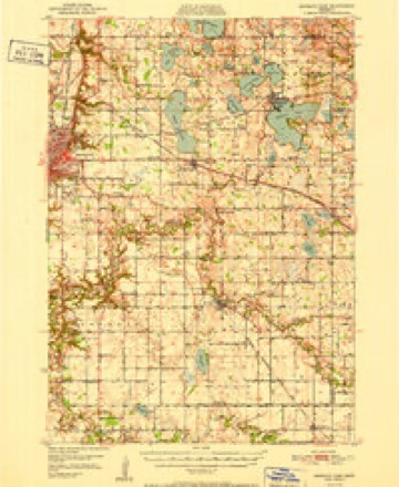
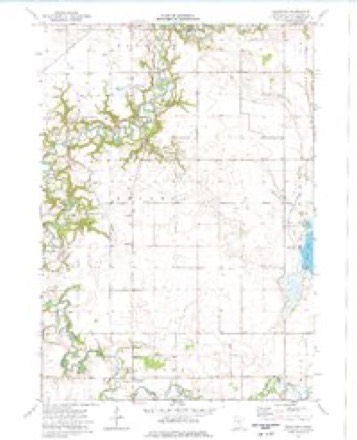
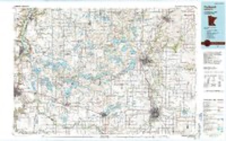
13 topographic sheets cover this place, the earliest surveyed in 1950 and the latest in 1985. It stands in Beauford Township. It lies in ZIP code area 56037. The Survey maps it on the Beauford quadrangle.
Topographic sheets covering this place
8 surveys from 13 printed sheetsMatched by testing this settlement's coordinate against the published boundary of every sheet in the United States Geological Survey's historical collection. Each opens the scanned sheet at the Survey.
- 1950 USGS Mankato East quadrangle1:62500, 3 printings
- 1951 USGS Mankato East quadrangle1:62500
- 1953 USGS Saint Paul quadrangle1:250000, 3 printings
- 1953 USGS St. Paul quadrangle1:250000
- 1959 USGS Saint Paul quadrangle1:250000
- 1959 USGS St. Paul quadrangle1:250000
- 1974 USGS Beauford quadrangle1:24000
- 1985 USGS Faribault quadrangle1:100000, 2 printings




What happened here
An account from the chapter on Beauford township. The inset identifies its exact source book and publication year.
Cambria Red Cross Branch Surgical Dressing Class, Mapleton
I he final draft, was brought home a victim of the dreaded epidemic, the influenza. A military funeral was held and burial took place in the cemetery, the Home Guard taking charge and the Red Cross members attended in a body. Rev. Paul Edsel, who officiated, preached his first English sermon.
In the county-history sources
4,152 words on this townshipBlue Earth County, Minnesota, in the World War;, published 1920 names this settlement in its chapter on Beauford Township. These are the passages that mention it, exactly as the scans read.
On Jan. 2, 1918, the chairman had the pleasure, with the consent of the chapter committee, of organizing a live Branch at Beauford. And again on May 24th, 191S, it was her privilege, with the consent of Mankato Chapter, to organize at West Medo.
Passage source: Blue Earth County, Minnesota, in the World War;, published 1920.
Machine-read from a century-old scan, so expect the errors a machine makes: misspelled names, dropped words, stray characters.
Mines and quarries near this place
2 within 5 milesRegional context, not property-specific evidence. The federal mineral resources record lists 2 workings within 5 miles of Beauford: 1 past producer, 1 producer. 1 still produces. What was taken out: Stone, Crushed/Broken, Sand and Gravel, Construction. Distance is straight-line from the map coordinates, so a quarry counted here may appear on a neighbouring settlement's page as well.
| Where | Site | Commodity | Status | Recorded |
|---|---|---|---|---|
| Fairbanks Quarry | Stone, Crushed/Broken | Past Producer | ||
| Prange Pit | Sand and Gravel, Construction | Producer |
Storms near this place
10 since 1998Regional context, not property-specific evidence. The National Weather Service names Beauford in 10 storm reports between 1998 and 2025: 6 hail, 2 thunderstorm wind, 1 flood, 1 heavy rain. No death or injury is recorded in these reports. Each account below is quoted exactly as the forecast office filed it, from the NOAA Storm Events Database, and each date opens the federal record of that event.
| When | Event | Place named | Harm | What the report says |
|---|---|---|---|---|
| June 2014 | Thunderstorm Wind | Beauford | $100,000 | A storm survey concluded that severe straight-line winds caused damage to wooden electrical poles, trees, and power lines north of Mapleton along Highway 22 to 179th Street. One home north of Beauford sustained minor damage to some shingles. |
| August 2025 | Heavy Rain | Beauford | - | Cocorahs station MN-BU-2 Mapleton 4N. 72 hour total of 5.70 inches. |
| June 2020 | Hail | Beauford | - | There were additional reports of large hail, up to quarter size, that was measured across eastern Blue Earth County. However, there was probably hail much larger based on similar reflectivity that produced up to baseball size hail over the northwest part of Blue Earth County. However, this area had no reports of larger hail stones. |
| March 2010 | Flood | Beauford | - | County Road 167 was closed due to flooding. |
| July 2009 | Hail | Beauford | - | Quarter size hail also fell again around 225 pm. |
| July 2009 | Hail | Beauford | - | A second round of quarter size hail fell five minutes after the first bout of hail. |
| May 1998 | Hail | Beauford | - | Strong winds also blew four semitrailers off road. |
| May 2017 | Hail | Beauford | - | no account filed |
| July 2017 | Thunderstorm Wind | Beauford | - | no account filed |
| April 2010 | Hail | Beauford | - | no account filed |
Nearest settlements
The eight closest, with where each one stands in the county. Distances are straight-line, computed from the Geographic Names Information System coordinates.
| Map | Place | Distance | Sheets |
|---|---|---|---|
| Mapleton | 5.4 miles | 7 | |
| Good Thunder | 5.7 miles | 12 | |
| Saint Clair | 7.4 miles | 13 | |
| Rapidan | 8.4 miles | 12 | |
| Pemberton | 9.3 miles | 13 | |
| University Park of Mankato | 9.4 miles | 14 | |
| Sterling Center | 9.4 miles | 6 | |
| Skyline | 10.1 miles | 13 |
Provenance
This settlement is recorded in the Geographic Names Information System as feature 654591. The sheet list is computed by point-in-boundary test against the United States Geological Survey's historical topographic inventory. Both are works of the United States government and carry no copyright under 17 U.S.C. 105.
Mines and quarries. USGS Mineral Resources Data System (MRDS) https://mrdata.usgs.gov/mrds/ A work of the United States government, no copyright under 17 U.S.C. 105.
Storms. NOAA National Centers for Environmental Information, Storm Events Database https://www.ncei.noaa.gov/stormevents/ A work of the United States government, no copyright under 17 U.S.C. 105. Narratives are quoted verbatim from the National Weather Service report and are not edited or summarised.