 Block
Calhoun Beach, Minnesota
26 topographic sheets cover this place, the earliest surveyed in 1896 and the latest in 1985. It stands in Minneapolis City. It lies in ZIP code area 55416. The Survey maps it on the Minneapolis South quadrangle.
On record in Calhoun Beach
Buildings and businesses the archive holds for this place. Each opens its own page, with the source record it came from.
On the National Register within a mile 5 records
The National Register names another town for these. They stand within one mile of this settlement's coordinate.
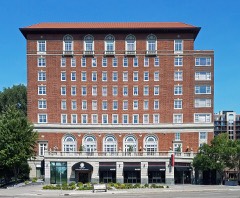 Calhoun Beach Clublisted 2003 · 0.3 miles away
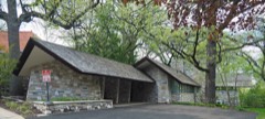 Frieda and Henry J. Neils Houselisted 2004 · 0.6 miles away
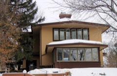 Dr. Oscar Owre Houselisted 1984 · 0.7 miles away
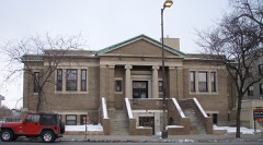 Walker Branch Librarylisted 2000 · 0.9 miles away
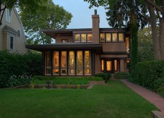 William Gray Purcell Houselisted 1974 · 1.0 miles away
Topographic sheets covering this place
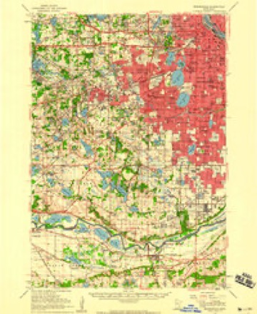
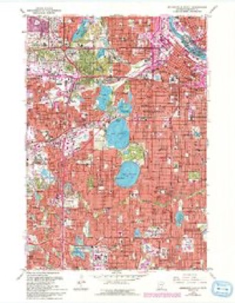
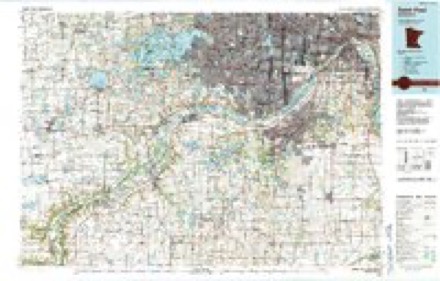
10 surveys from 26 printed sheetsMatched by testing this settlement's coordinate against the published boundary of every sheet in the United States Geological Survey's historical collection. Each opens the scanned sheet at the Survey.
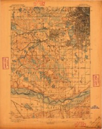
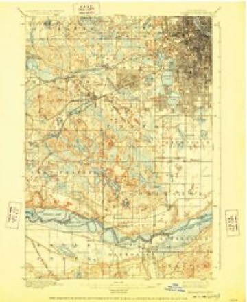
- 1896 USGS Minneapolis quadrangle1:62500
- 1901 USGS Minneapolis quadrangle1:62500, 8 printings
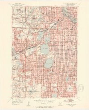
- 1952 USGS Minneapolis South quadrangle1:24000, 2 printings
- 1953 USGS Saint Paul quadrangle1:250000, 3 printings
- 1953 USGS St. Paul quadrangle1:250000
- 1954 USGS Minneapolis quadrangle1:62500
- 1959 USGS Saint Paul quadrangle1:250000
- 1959 USGS St. Paul quadrangle1:250000
- 1967 USGS Minneapolis South quadrangle1:24000, 6 printings
- 1985 USGS Saint Paul quadrangle1:100000, 2 printings




What happened here
An account from the chapter on Minneapolis city. The inset identifies its exact source book and publication year.
Chapter Lii
Hassan heavily timbered. - Marshes. - Settled since 1854. - Irish settlers. - Sawmill built. - Progress of settlement. - First town meeting held in 1869. - Officers chosen. - School. - First marriage. - Territorial road. - Post office. - Episcopal Church. - Grass¬ hoppers. - Indian massacre. - Beauty of landscape characterizing Greenwood.
In the county-history sources
1,259,960 words on this townshipHistory of Hennepin County and the City of Minneapolis, Including the Explorers and Pioneers of Minnesota, published 1881; Vol. 2: History of Minneapolis and Hennepin County, Minnesota / Edited by Judge Isaac Atwater, Col. John H. Stevens, published 1895; Vol. 1: History of Minneapolis and Hennepin County, Minnesota / Edited by Judge Isaac Atwater, Col. John H. Stevens, published 1895; Compendium of History and Biography of Minneapolis and Hennepin County, Minnesota, published 1914 has no passage naming this settlement, which was common for smaller places. Its township is covered in full.
The chapter on Minneapolis City covers the township.
Read the chapter on Minneapolis City - 1,259,960 words.
Mines and quarries near this place
2 within 5 milesRegional context, not property-specific evidence. The federal mineral resources record lists 2 workings within 5 miles of Calhoun Beach: 2 producers. All of them still produce. What was taken out: Sand and Gravel, Construction, Bentonite. Distance is straight-line from the map coordinates, so a quarry counted here may appear on a neighbouring settlement's page as well.
| Where | Site | Commodity | Status | Recorded |
|---|---|---|---|---|
| Highway 18 Pit and Mill | Sand and Gravel, Construction | Producer | ||
| North Central Aggregate Pit | Bentonite | Producer |
Nearest settlements
The eight closest, with where each one stands in the county. Distances are straight-line, computed from the Geographic Names Information System coordinates.
| Map | Place | Distance | Sheets |
|---|---|---|---|
| Saint Louis Park | 1.7 miles | 26 | |
| Kenwood Gables | 1.8 miles | 26 | |
| Glenwood Junction | 2.7 miles | 26 | |
| Minneapolis | 3.4 miles | 26 | |
| Golden Valley | 4.5 miles | 21 | |
| Edina | 4.5 miles | 26 | |
| Richfield | 4.9 miles | 26 | |
| Robbinsdale | 5.8 miles | 21 |
Elsewhere
Matched on this settlement's Geographic Names Information System number rather than its name, so it cannot be a different place of the same name in another state.
| Wikidata item Q122558589 | The structured record the population and elevation above come from. Public domain (CC0). |
Provenance
This settlement is recorded in the Geographic Names Information System as feature 640734. The sheet list is computed by point-in-boundary test against the United States Geological Survey's historical topographic inventory. Both are works of the United States government and carry no copyright under 17 U.S.C. 105.
Mines and quarries. USGS Mineral Resources Data System (MRDS) https://mrdata.usgs.gov/mrds/ A work of the United States government, no copyright under 17 U.S.C. 105.