 Block
Dell, Minnesota
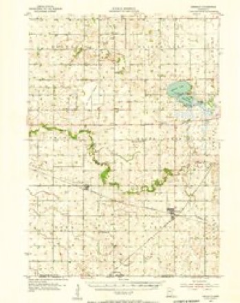
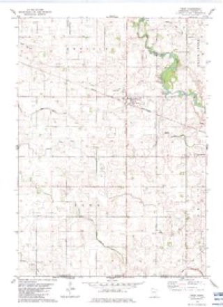
8 topographic sheets cover this place, the earliest surveyed in 1954 and the latest in 1985. It stands in Emerald Township. It lies in ZIP code area 56033. The Survey maps it on the Frost quadrangle.
Topographic sheets covering this place
6 surveys from 8 printed sheetsMatched by testing this settlement's coordinate against the published boundary of every sheet in the United States Geological Survey's historical collection. Each opens the scanned sheet at the Survey.
- 1954 USGS Mason City quadrangle1:250000, 2 printings
- 1955 USGS Bricelyn quadrangle1:62500
- 1957 USGS Mason City quadrangle1:250000
- 1958 USGS Mason City quadrangle1:250000
- 1982 USGS Frost quadrangle1:24000
- 1985 USGS Albert Lea quadrangle1:100000, 2 printings




In the county-history sources
3,610 words on this townshipThe History of Faribault County, Minnesota : from Its First Settlement to the Close of the Year 1879 : the Story of the Pioneers, published 1896 names this settlement in its chapter on Emerald Township. These are the passages that mention it, exactly as the scans read.
For many years a post-olfice was established on section thirty (30), known as Ewald post office, but this office has now been discontinued for several years. There is now an office, named Emerald, on section eleven, and one, named Dell, on section twenty-three. Dell seems to be the headquarters of the town at present, as there is here the church, a parsonage, school bouse, post- office, blacksmith shop, several dwellings and a general store.
Passage source: The History of Faribault County, Minnesota : from Its First Settlement to the Close of the Year 1879 : the Story of the Pioneers, published 1896.
Machine-read from a century-old scan, so expect the errors a machine makes: misspelled names, dropped words, stray characters.
Nearest settlements
The eight closest, with where each one stands in the county. Distances are straight-line, computed from the Geographic Names Information System coordinates.
| Map | Place | Distance | Sheets |
|---|---|---|---|
| Frost | 2.7 miles | 8 | |
| Brush Creek | 3.8 miles | 8 | |
| Marna | 5.1 miles | 6 | |
| Bricelyn | 6.9 miles | 8 | |
| Easton | 9.8 miles | 7 | |
| Blue Earth | 10.0 miles | 7 | |
| Riverside Heights | 10.7 miles | 7 | |
| Delavan | 11.4 miles | 6 |
Provenance
This settlement is recorded in the Geographic Names Information System as feature 654670. The sheet list is computed by point-in-boundary test against the United States Geological Survey's historical topographic inventory. Both are works of the United States government and carry no copyright under 17 U.S.C. 105.