 Block
Grove City, Minnesota
8 topographic sheets cover this place, the earliest surveyed in 1953 and the latest in 1986. It stands in Grove City City. It lies in ZIP code area 56243. The Survey maps it on the Grove City quadrangle. 624 people lived here at the 2020 count. It stands 1,191 feet above sea level.
Population over time
2 figuresGrove City fell from 635 to 624 between 2010 and 2020. These are the recorded population figures Wikidata holds for this place, reached through the Geographic Names Information System number this page is keyed on rather than by name, so they belong to this place and not to another of the same name. Most are census counts, but not all are: an early figure may be a founding or settlement estimate, and an estimate published within five years of a census is left out. The change column is computed, and is left blank where more than 20 years separate a figure from the one before it, because a gap that long is not a change between two counts.
| Year | People | Change |
|---|---|---|
| 2010 | 635 | |
| 2020 | 624 | -11 (-2%) |
Topographic sheets covering this place
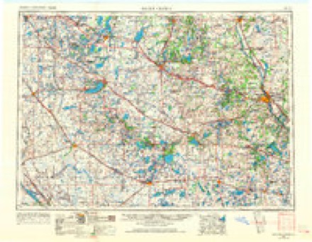
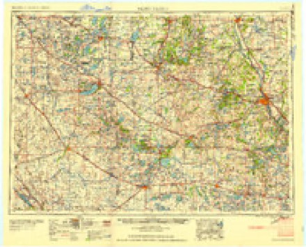
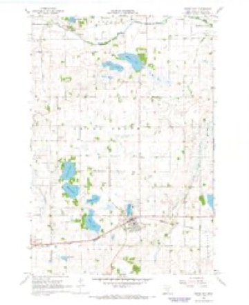
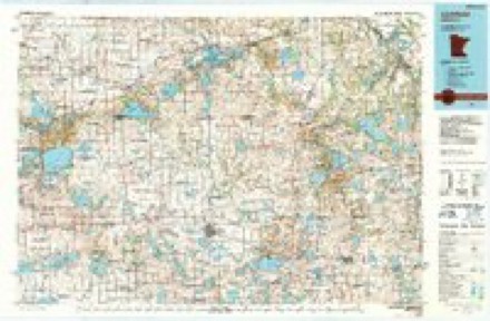
5 surveys from 8 printed sheetsMatched by testing this settlement's coordinate against the published boundary of every sheet in the United States Geological Survey's historical collection. Each opens the scanned sheet at the Survey.
- 1953 USGS Saint Cloud quadrangle1:250000, 3 printings
- 1957 USGS Saint Cloud quadrangle1:250000
- 1958 USGS Saint Cloud quadrangle1:250000
- 1967 USGS Grove City quadrangle1:24000
- 1986 USGS Litchfield quadrangle1:100000, 2 printings
In the county-history sources
824 words on this townshipAlbum of History and Biography of Meeker County, Minnesota, published 1888 names this settlement in its chapter on Grove City City. These are the passages that mention it, exactly as the scans read.
Grove City was laid out and platted by the St. Paul & Pacific Eailroad Company, on the northeast quarter of section 3, of this township, in the summer of 1870, the plat of which was filed for record with the county register of deeds, August 26, 1870. One addition has since been added to the original site bv the same corporation, the plat of whicii was filed September 11, 1877.
Passage source: Album of History and Biography of Meeker County, Minnesota, published 1888.
The village of Grove City was incorporated as such, by an act of the State Legislature, passed February 14, 1878. At that time tlie Secretary of State appointed C. J. Erickson, Nels Paulson and A. S. "Wilcox as commissioners to issue the notices for the first election, and to govern the balloting at the time. At this election there were chosen the following officers : A. S. "Wilcox, president of the village board ; Nels Paulson, recorder ; C. J. Erickson, treasurer ; and N. Loberg, C. C. Eeitan, and P. J. Malmquist, trustees. The first meeting of the new government met March 1, 1878, when most of the officers were duly sworn in. The government of the village is vested at present (spring of 1888) in the following gentlemen : O. N. Lindell, president ; P. J. Malmquist, Otto Dersch and A. O. Lawson, trustees ; John N. Gaynor, recorder ; A. P Nelson, treasurer ; N. E. Hanson and N. Loberg, justices; and J. J. Hartstad and Olaf Ask, constables. C. C. Eeitan was president of the village board for three terms, Init prefers to eschew politics for the present.
Passage source: Album of History and Biography of Meeker County, Minnesota, published 1888.
Machine-read from a century-old scan, so expect the errors a machine makes: misspelled names, dropped words, stray characters.
Fires near this place
2 since 2004Regional context, not property-specific evidence. The federal wildfire occurrence database lists 2 fires within 5 miles of Grove City in 2004, burning about 8 acres in total. None started naturally. None was recorded as arson. Distance is straight-line from the map coordinates, so a fire counted here may appear on a neighbouring settlement's page as well.
| Reported cause | Fires |
|---|---|
| Missing data/not specified/undetermined | 2 |
The most recent of them, most recent first, with the day each was reported and the service that recorded it.
| Date | Cause | Size | Reported by | Name on the report |
|---|---|---|---|---|
| 3 April 2004 | Missing data/not specified/undetermined | 7.0 acres | Litchfield Wetland Management District | MILLER WPA 1 |
| 3 April 2004 | Missing data/not specified/undetermined | 1.0 acres | Litchfield Wetland Management District | MILLER LIGHT |
Settlements close enough to share some of these fires:
Storms near this place
30 since 1996Regional context, not property-specific evidence. The National Weather Service names Grove City in 30 storm reports between 1996 and 2022: 15 hail, 11 thunderstorm wind, 3 tornado, 1 funnel cloud. No death or injury is recorded in these reports. Each account below is quoted exactly as the forecast office filed it, from the NOAA Storm Events Database, and each date opens the federal record of that event.
| When | Event | Place named | Harm | What the report says |
|---|---|---|---|---|
| June 2001 | Thunderstorm Wind | Grove City | $10,000,000 | The storm complex moved into Meeker County, producing a 4 to 5 mile wide swath of damage from northwest to southeast across the county. The most severe damage was in Grove City and Litchfield. The Grove City High School auditorium roof collapsed, and light towers and other structures were destroyed at the Grove City race track. Hundreds of trees were toppled in Litchfield, many onto homes and vehicles. Dozens of barns, grain bins, and outbuildings sustained damage across the county. Homes were pummeled by wind-driven hail. Damage amount listed is for all events in Meeker County. |
| June 2012 | Thunderstorm Wind | Grove City | $500,000 | Estimated severe straight-line winds of 75 mph caused major damage centered one mile south of Grove City, approximately 5 miles wide (east & west) to 6 miles north of Grove City. Damage was associated with dozens of trees, multiple power lines snapped and blown down, 14 buildings reported or found damaged moderately to severe to include over 1 half dozen metal barns, sheds, grain bins and one house with 1/2 roof torn off. Grove City High School bleachers blown over as well. |
| September 2019 | Thunderstorm Wind | Grove City | $100,000 | There was sporadic wind damage that occurred across all of Meeker County, especially in towns and bigger cities based on emergency manager notes. Numerous trees were blown down or uprooted, including a tree that had a diameter of 2 feet. There was an overturned pontoon on Big Swan Lake and several power lines and/or power poles blown down. |
| August 2018 | Tornado (EF0) | Grove City | $100,000 | This is the continuation of the same EF0 tornado that tracked across Kandiyohi county, and entered Meeker county. This tornado tracked an additional 9.5 miles east along Highway 12, through Grove City, to just northwest of Litchfield. Pockets of tree damage, an overturned trailer, and some other minor structural damage to sheds and pole barns resulted. Straight line wind damage, mostly to trees, was found south of the tornado |track and Highway 12. Maximum winds were estimated at 80 mph, with a width of 300 yards. |
| May 2010 | Thunderstorm Wind | Grove City | $10,000 | A large tree was blown down onto a home near Grove City, Minnesota. |
| June 2017 | Thunderstorm Wind | Grove City | - | Large branches were blown down. |
| June 2017 | Thunderstorm Wind | Grove City | - | Power poles were tipped over. Some large branches were also broken. |
| June 2007 | Thunderstorm Wind | Grove City | - | Few trees down. A metal pole knocked down over a house. |
| June 2003 | Tornado (F0) | Grove City | - | This tornado originated in Kandiyohi County, moving into Meeker County at 1916 CST. It tracked across open fields, damaging only a few trees. |
| June 2001 | Thunderstorm Wind | Grove City | - | Few trees and power lines blown down. |
| May 2000 | Thunderstorm Wind | Grove City | - | Downburst winds created swath of destruction to include several barns, sheds, and trees blown down.Swath of winds was 3 miles long and two miles wide. |
| June 1999 | Hail | Grove City | - | Residential windows smashed, home siding dented. |
| July 1997 | Thunderstorm Wind | Grove City | - | Trees blown down. Mobile home shifted off foundation. Funnel cloud also sighted in town. |
| July 1997 | Tornado (F0) | Grove City | - | Large trees sheared in half. |
| May 2022 | Hail | Grove City | - | no account filed |
| May 2012 | Hail | Grove City | - | no account filed |
| May 2012 | Hail | Grove City | - | no account filed |
| June 2012 | Hail | Grove City | - | no account filed |
| July 2011 | Hail | Grove City | - | no account filed |
| June 2008 | Hail | Grove City | - | no account filed |
| June 2007 | Hail | Grove City | - | no account filed |
| June 2007 | Hail | Grove City | - | no account filed |
| April 2007 | Hail | Grove City | - | no account filed |
| May 2004 | Hail | Grove City | - | no account filed |
| July 2003 | Hail | Grove City | - | no account filed |
| May 2002 | Hail | Grove City | - | no account filed |
| June 2001 | Funnel Cloud | Grove City | - | no account filed |
| June 1998 | Hail | Grove City | - | no account filed |
| July 1997 | Hail | Grove City | - | no account filed |
| August 1996 | Thunderstorm Wind | Grove City | - | no account filed |
Nearest settlements
The eight closest, with where each one stands in the county. Distances are straight-line, computed from the Geographic Names Information System coordinates.
| Map | Place | Distance | Sheets |
|---|---|---|---|
| Acton | 4.7 miles | 8 | |
| Crow River | 6.8 miles | 8 | |
| Rosendale | 7.7 miles | 8 | |
| Manannah | 7.9 miles | 8 | |
| Litchfield | 8.4 miles | 10 | |
| Strout | 9.6 miles | 10 | |
| Beckville | 9.7 miles | 10 | |
| Forest City | 12.1 miles | 10 |
Elsewhere
Matched on this settlement's Geographic Names Information System number rather than its name, so it cannot be a different place of the same name in another state.
| Wikipedia article on Grove City | An encyclopaedic summary. Its text is share-alike, so it is linked here rather than copied. |
| Wikidata item Q2011131 | The structured record the population and elevation above come from. Public domain (CC0). |
Provenance
This settlement is recorded in the Geographic Names Information System as feature 644499. The sheet list is computed by point-in-boundary test against the United States Geological Survey's historical topographic inventory. Both are works of the United States government and carry no copyright under 17 U.S.C. 105.
Wildfire. Short, Karen C. 2022. Spatial wildfire occurrence data for the United States, 1992-2020 [FPA_FOD_20221014]. 6th Edition. Fort Collins, CO: Forest Service Research Data Archive. https://doi.org/10.2737/RDS-2013-0009.6 Collected with United States Government funding and usable without additional permissions or fees.
Storms. NOAA National Centers for Environmental Information, Storm Events Database https://www.ncei.noaa.gov/stormevents/ A work of the United States government, no copyright under 17 U.S.C. 105. Narratives are quoted verbatim from the National Weather Service report and are not edited or summarised.