 Block
Manannah, Minnesota
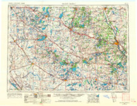
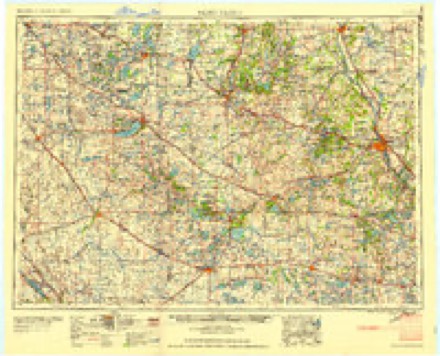
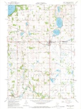
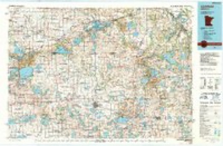
8 topographic sheets cover this place, the earliest surveyed in 1953 and the latest in 1986. It stands in Manannah Township. It lies in ZIP code area 56243. It stands on Middle Fork Crow River. The Survey maps it on the Eden Valley quadrangle.
Topographic sheets covering this place
5 surveys from 8 printed sheetsMatched by testing this settlement's coordinate against the published boundary of every sheet in the United States Geological Survey's historical collection. Each opens the scanned sheet at the Survey.
- 1953 USGS Saint Cloud quadrangle1:250000, 3 printings
- 1957 USGS Saint Cloud quadrangle1:250000
- 1958 USGS Saint Cloud quadrangle1:250000
- 1967 USGS Eden Valley quadrangle1:24000
- 1986 USGS Litchfield quadrangle1:100000, 2 printings
In the county-history sources
1,506 words on this townshipAlbum of History and Biography of Meeker County, Minnesota, published 1888 names this settlement in its chapter on Manannah Township. These are the passages that mention it, exactly as the scans read.
A name was wanted for the village which was laid out by J. W. Walker and Ziba Caswell, on part of section 30, in the spring of 1856, and search in an old Scottish history gave them the name of Manannah, so it was adopted. The partj' who made the survey and platted the village was a man by the name of ILalcott, and N. C. Caswell acted as chain bearer.
Passage source: Album of History and Biography of Meeker County, Minnesota, published 1888.
The Catholic Church of Our Lady, at Manannah, was established by the late Rev. John McDermott, of Darwin, in the year 1876, under wliose direction was built a portion of the present edifice. The ground on which the church stands was donated by Anthony Kelly, of Minneapolis. It is situated on the bank of the Crow river, on a lofty eminence. The church building was finished during the administration of Father Kinney,the parish then being united to that of Litchfield. On the removal of the latter, the church was attended by the present pastor. Father McDevitt, who resided at Litchfield, for one year. Seeing the utility of Manannah having a resident priest, a parochial residence Avas erected in the fall of 1885, at a cost of about 82,000. The parish, Avhicli is a separate one, contains about ninety-five families, and is in a flourishing condition. The church edifice is not yet completed, as the toAA-er is to be finished and a bell put up. The first Catholic priest that visited this )>art of the country was Fatlier Anthony, from the Benedictine Abbe3% in the diocese of St. Cloud in 1865 The mission was visited occasional!}' by Father Burns, who also resided at St. John's Abbey, in St. Cloud. Father Arthur Hurley, of the diocese of St. Paul was appointed to look after the spiritual wants of the people, and visited tliem occasional!}', his residence being at Litchfield. This zealous priest had many missions to attend to and could visit each but seldom. After the removal of Father Hurley, Father Cahill served for some time with marked success. The late and much lamented priest of Darwin, Father John McDermott, came next and under his wise and able administration the parisii increased rapidly. Father Kinney next took charge of the united parishes of Litchfield and Manannah, till his appointment to the Chui-ch of St. Stephen's, Minneapolis, in 1S85. Tlie present pastor then came to Litchfield and later to Manannah, as stated. The churcii corporation owns property to the amount of al)out $6,000.
Passage source: Album of History and Biography of Meeker County, Minnesota, published 1888.
Machine-read from a century-old scan, so expect the errors a machine makes: misspelled names, dropped words, stray characters.
Read the whole chapter on Manannah Township - it names this place 1 more 1 time.
Fires near this place
6 since 1997Regional context, not property-specific evidence. The federal wildfire occurrence database lists 6 fires within 5 miles of Manannah between 1997 and 2004, burning about 65 acres in total. None started naturally. None was recorded as arson. Distance is straight-line from the map coordinates, so a fire counted here may appear on a neighbouring settlement's page as well.
| Reported cause | Fires |
|---|---|
| Missing data/not specified/undetermined | 4 |
| Debris and open burning | 2 |
The most recent of them, most recent first, with the day each was reported and the service that recorded it.
| Date | Cause | Size | Reported by | Name on the report |
|---|---|---|---|---|
| 3 April 2004 | Missing data/not specified/undetermined | 7.0 acres | Litchfield Wetland Management District | MILLER WPA 1 |
| 3 April 2004 | Missing data/not specified/undetermined | 1.0 acres | Litchfield Wetland Management District | MILLER LIGHT |
| 24 April 1997 | Debris and open burning | 25 acres | Litchfield Wetland Management District | TF5BAUMANN |
| 23 April 1997 | Missing data/not specified/undetermined | under an acre | Litchfield Wetland Management District | T.FLATS 3 |
| 23 April 1997 | Missing data/not specified/undetermined | under an acre | Litchfield Wetland Management District | T.FLATS 4 |
| 23 November 2002 | Debris and open burning | 32 acres | Litchfield Wetland Management District | TYRONE FLATS WPA WILDFIRE |
Settlements close enough to share some of these fires:
Storms near this place
6 since 2005Regional context, not property-specific evidence. The National Weather Service names Manannah in 6 storm reports between 2005 and 2016: 4 hail, 1 heavy rain, 1 thunderstorm wind. No death or injury is recorded in these reports. Each account below is quoted exactly as the forecast office filed it, from the NOAA Storm Events Database, and each date opens the federal record of that event.
| When | Event | Place named | Harm | What the report says |
|---|---|---|---|---|
| June 2016 | Hail | Manannah | - | Several rounds of large hail occurred in northern Meeker county. |
| July 2011 | Thunderstorm Wind | Manannah | - | A large tree blew down, and was blocking a road. |
| August 2009 | Heavy Rain | Manannah | - | A local observer measured 3.95 inches of rainfall overnight. |
| April 2005 | Hail | Manannah | - | Dime to nickel sized hail fell. |
| September 2005 | Hail | Manannah | - | Dime to penny sized hail was reported by a trained spotter. |
| June 2016 | Hail | Manannah | - | no account filed |
Nearest settlements
The eight closest, with where each one stands in the county. Distances are straight-line, computed from the Geographic Names Information System coordinates.
| Map | Place | Distance | Sheets |
|---|---|---|---|
| Crow River | 5.7 miles | 8 | |
| Eden Valley | 6.3 miles | 8 | |
| Grove City | 7.9 miles | 8 | |
| Forest City | 8.6 miles | 10 | |
| Litchfield | 9.9 miles | 10 | |
| Watkins | 11.9 miles | 8 | |
| Acton | 11.9 miles | 8 | |
| Beckville | 14.7 miles | 10 |
Provenance
This settlement is recorded in the Geographic Names Information System as feature 647430. The sheet list is computed by point-in-boundary test against the United States Geological Survey's historical topographic inventory. Both are works of the United States government and carry no copyright under 17 U.S.C. 105.
Wildfire. Short, Karen C. 2022. Spatial wildfire occurrence data for the United States, 1992-2020 [FPA_FOD_20221014]. 6th Edition. Fort Collins, CO: Forest Service Research Data Archive. https://doi.org/10.2737/RDS-2013-0009.6 Collected with United States Government funding and usable without additional permissions or fees.
Storms. NOAA National Centers for Environmental Information, Storm Events Database https://www.ncei.noaa.gov/stormevents/ A work of the United States government, no copyright under 17 U.S.C. 105. Narratives are quoted verbatim from the National Weather Service report and are not edited or summarised.