 Block
Huntley, Minnesota
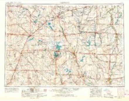
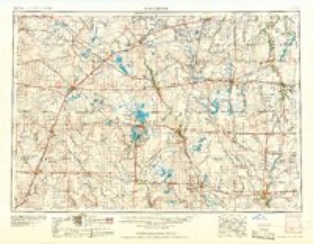
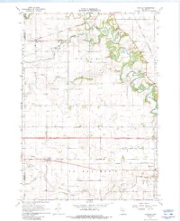
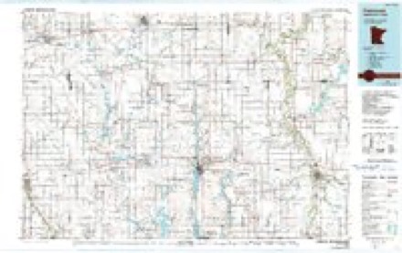
7 topographic sheets cover this place, the earliest surveyed in 1954 and the latest in 1985. It stands in Verona Township. It lies in ZIP code area 56039. The Survey maps it on the Huntley quadrangle. It stands 1,096 feet above sea level.
Topographic sheets covering this place
4 surveys from 7 printed sheetsMatched by testing this settlement's coordinate against the published boundary of every sheet in the United States Geological Survey's historical collection. Each opens the scanned sheet at the Survey.
- 1954 USGS Fairmont quadrangle1:250000, 3 printings
- 1958 USGS Fairmont quadrangle1:250000
- 1967 USGS Huntley quadrangle1:24000, 2 printings
- 1985 USGS Fairmont quadrangle1:100000
What happened here
An account from the chapter on Verona township. The inset identifies its exact source book and publication year.
Interesting Incidents
At the time of the Ink-pe-du-ta massacre, in the spring of 1857, and again at the time of the Sioux massacre, in August, 1862, this town was almost completely depopulated, for a short time, and, although no attack was made on the people of the town, at either time, yet prudence dictated the abandonment of the town for the time be- ing.
In the county-history sources
2,593 words on this townshipThe county-history sources names this settlement in its chapter on Verona Township. These are the passages that mention it, exactly as the scans read.
Machine-read from a century-old scan, so expect the errors a machine makes: misspelled names, dropped words, stray characters.
Read the whole chapter on Verona Township - it names this place 2 more 2 times.
Mines and quarries near this place
6 within 5 milesRegional context, not property-specific evidence. The federal mineral resources record lists 6 workings within 5 miles of Huntley: 6 producers. All of them still produce. What was taken out: Sand and Gravel, Construction, Clay. Distance is straight-line from the map coordinates, so a quarry counted here may appear on a neighbouring settlement's page as well.
| Where | Site | Commodity | Status | Recorded |
|---|---|---|---|---|
| Faribault County Pits | Clay | Producer | ||
| Hodgman Mill | Sand and Gravel, Construction | Producer | ||
| Hodgman Pit | Sand and Gravel, Construction | Producer | ||
| Hodgman Pit & Mill | Sand and Gravel, Construction | Producer | ||
| W Hodgman & Sons Pit | Sand and Gravel, Construction | Producer | ||
| W Hodgman & Sons Pit | Sand and Gravel, Construction | Producer |
Storms near this place
6 since 1997Regional context, not property-specific evidence. The National Weather Service names Huntley in 6 storm reports between 1997 and 2018: 2 tornado, 2 hail, 1 thunderstorm wind, 1 flash flood. No death or injury is recorded in these reports. Each account below is quoted exactly as the forecast office filed it, from the NOAA Storm Events Database, and each date opens the federal record of that event.
| When | Event | Place named | Harm | What the report says |
|---|---|---|---|---|
| July 2018 | Hail | Huntley | - | A swath of large hail, up to golf ball size, occurred near Truman, then southeast to west of Blue Earth. The local emergency management had reports of shredded crops due to the intense amount and wind associated with the hail. |
| July 2018 | Hail | Huntley | - | A swath of very large hail, up to baseball size, occurred from south of Huntley, southeast to south-southeast of Blue Earth. Crops were reported shredded in this area due to the extremely large hail and wind. The COOP observer in Blue Earth reported up to quarter size hail during this time period. |
| September 2018 | Tornado (EF0) | Huntley | - | This is the continuation of the Martin County tornado that continued into Faribault County before dissipating in a field approximately 1.2 miles east of the county line. Most of the damage was associated with downed trees and power lines. Maximum width was 70 yards with an EF0 rating based on damage. |
| July 2010 | Flash Flood | Huntley | - | Rainfall amounts were reported around 5.50 inches north of Huntley, and the far northwest corner of Faribault County. Flooding was observed in this area with rapid rises along the Blue Earth River. |
| June 1997 | Thunderstorm Wind | Huntley | - | Trees down. Estimated windspeed. |
| June 1998 | Tornado (F0) | Huntley | - | no account filed |
Nearest settlements
The eight closest, with where each one stands in the county. Distances are straight-line, computed from the Geographic Names Information System coordinates.
| Map | Place | Distance | Sheets |
|---|---|---|---|
| Winnebago | 4.5 miles | 7 | |
| Guckeen | 5.6 miles | 7 | |
| Riverside Heights | 8.2 miles | 7 | |
| Blue Earth | 9.7 miles | 7 | |
| Delavan | 11.8 miles | 6 | |
| Pilot Grove | 14.0 miles | 6 | |
| Marna | 15.0 miles | 6 | |
| Elmore | 17.5 miles | 6 |
Elsewhere
Matched on this settlement's Geographic Names Information System number rather than its name, so it cannot be a different place of the same name in another state.
| Wikipedia article on Huntley | An encyclopaedic summary. Its text is share-alike, so it is linked here rather than copied. |
| Wikidata item Q5945594 | The structured record the population and elevation above come from. Public domain (CC0). |
Provenance
This settlement is recorded in the Geographic Names Information System as feature 645303. The sheet list is computed by point-in-boundary test against the United States Geological Survey's historical topographic inventory. Both are works of the United States government and carry no copyright under 17 U.S.C. 105.
Mines and quarries. USGS Mineral Resources Data System (MRDS) https://mrdata.usgs.gov/mrds/ A work of the United States government, no copyright under 17 U.S.C. 105.
Storms. NOAA National Centers for Environmental Information, Storm Events Database https://www.ncei.noaa.gov/stormevents/ A work of the United States government, no copyright under 17 U.S.C. 105. Narratives are quoted verbatim from the National Weather Service report and are not edited or summarised.