 Block
Pilot Grove, Minnesota
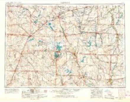
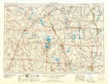
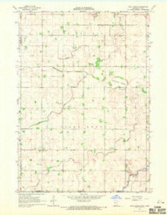
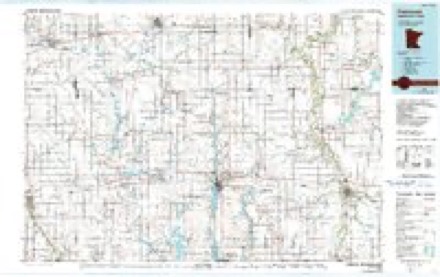
6 topographic sheets cover this place, the earliest surveyed in 1954 and the latest in 1985. It stands in Pilot Grove Township. It lies in ZIP code area 56013. The Survey maps it on the Pilot Grove quadrangle. It stands 1,125 feet above sea level.
Topographic sheets covering this place
4 surveys from 6 printed sheetsMatched by testing this settlement's coordinate against the published boundary of every sheet in the United States Geological Survey's historical collection. Each opens the scanned sheet at the Survey.
- 1954 USGS Fairmont quadrangle1:250000, 3 printings
- 1958 USGS Fairmont quadrangle1:250000
- 1967 USGS Pilot Grove quadrangle1:24000
- 1985 USGS Fairmont quadrangle1:100000
What happened here
An account from the chapter on Pilot Grove township. The inset identifies its exact source book and publication year.
Sundry Interesting Facts
The people of this town, like all others residing on the frontiers, became greatly apprehensive of an attack by the Indians, at the time of the great massacre in 1862. They held a number of meetings, when plans of defense were discussed. A military company was formed, of which James Ogilvie was commissioned first lieutenant, and the company was drilled by Sergeant Shepard Young, the only old soldier in the company.
In the county-history sources
2,903 words on this townshipThe History of Faribault County, Minnesota : from Its First Settlement to the Close of the Year 1879 : the Story of the Pioneers, published 1896 names this settlement in its chapter on Pilot Grove Township. These are the passages that mention it, exactly as the scans read.
The general surface of the land is rolling prairie. The heads of Badger creek, in the north part of the town, and Otter creek, in tlie south half, and a small branch of the Blue Earth, are the only run- ning waters in the town. These streams are tributaries of the west branch of the Blue Earth river. There are, however, several small slough runs, which are considerable streams during parts of the year. There are, also, several small, but beautiful, silvery lakes in the town, known as Big lake. Pilot Grove lake, Weazel lake and Farlow lake, the latter named after one L. Farlow, a trapper, who, in the early years, trapped about these lake, for furs.
Passage source: The History of Faribault County, Minnesota : from Its First Settlement to the Close of the Year 1879 : the Story of the Pioneers, published 1896.
The timber, of which there is but little, is confined to the margins of these lakes. The grove known as Pilot Grove is the principal body of timber. The farmers of this town, also, have done a good work, in setting out many groves of forest trees, and the landscape presents much the appearance of a wooded country, and the people are every year adding to the number of these beautiful groves. The whole township should, and doubtless some daj' will be, in fact, as well as in name, largely a grove. The lands are well divided into tillable and pasturage, and the soil is as good as any in the State. The surface is easily drained. Good well water is found anywliere at moderate depth.
Passage source: The History of Faribault County, Minnesota : from Its First Settlement to the Close of the Year 1879 : the Story of the Pioneers, published 1896.
The town was named Pilot Grove bj' the special commissioners in 1858, and was so named because of the fine grove of native timber on the northern boundary of the town, and this grove was named Pilot Grove, because in the early days, before roads were established, this grove was a sort of land mark, on the wide prairies, by which the immigrant was piloted on his way westward. It may be added, too, that this grove, with its fine lake of sparkling waters and rich grasses surrounding it, was, in the days of the immigrants, a sort of capacious inn, or caravansary, or camping ground. There are live post offices in the United States which bear the name of Pilot Grove.
Passage source: The History of Faribault County, Minnesota : from Its First Settlement to the Close of the Year 1879 : the Story of the Pioneers, published 1896.
Machine-read from a century-old scan, so expect the errors a machine makes: misspelled names, dropped words, stray characters.
Read the whole chapter on Pilot Grove Township - it names this place 7 more 7 times.
Fires near this place
4 since 2000Regional context, not property-specific evidence. The federal wildfire occurrence database lists 4 fires within 5 miles of Pilot Grove between 2000 and 2003, burning about 32 acres in total. None started naturally. None was recorded as arson. Distance is straight-line from the map coordinates, so a fire counted here may appear on a neighbouring settlement's page as well.
| Reported cause | Fires |
|---|---|
| Missing data/not specified/undetermined | 4 |
The most recent of them, most recent first, with the day each was reported and the service that recorded it.
| Date | Cause | Size | Reported by | Name on the report |
|---|---|---|---|---|
| 19 April 2001 | Missing data/not specified/undetermined | 24 acres | Windom Wetland Management District | PILOT GROVE |
| 10 April 2000 | Missing data/not specified/undetermined | under an acre | Windom Wetland Management District | PILOT GROVE |
| 1 April 2003 | Missing data/not specified/undetermined | 4.0 acres | Windom Wetland Management District | PILOT GROVE |
| 17 October 2000 | Missing data/not specified/undetermined | 2.9 acres | Windom Wetland Management District | PILOT GROVE |
Storms near this place
3 since 2004Regional context, not property-specific evidence. The National Weather Service names Pilot Grove in 3 storm reports between 2004 and 2026: 1 funnel cloud, 1 flash flood, 1 tornado. No death or injury is recorded in these reports. Each account below is quoted exactly as the forecast office filed it, from the NOAA Storm Events Database, and each date opens the federal record of that event.
| When | Event | Place named | Harm | What the report says |
|---|---|---|---|---|
| April 2026 | Tornado (EF1) | Pilot Grove | - | This tornado track and timing are based on videos from two different storm chasers as well as damage reported by personnel with the Elmore Fire Department. The tornado mostly moved over open fields, but toward the end, it hit a farm, taking tin off a shed and blowing in garage doors. Trees were also broken. The maximum wind speed was estimated at 90 mph. |
| September 2010 | Flash Flood | Pilot Grove | - | Bands of thunderstorms began to develop across the county by the late evening, with several thunderstorms training over the same areas. After midnight, nearly five inches of rain fell in the northwest corner around Winnebago. Minnesota Lake had over 8 inches by morning with local streams and creeks flowing out of their banks. |
| June 2004 | Funnel Cloud | Pilot Grove | - | Several citizens called 911 to report a funnel cloud. |
Nearest settlements
The eight closest, with where each one stands in the county. Distances are straight-line, computed from the Geographic Names Information System coordinates.
| Map | Place | Distance | Sheets |
|---|---|---|---|
| Elmore | 7.6 miles | 6 | |
| Guckeen | 8.4 miles | 7 | |
| Blue Earth | 10.0 miles | 7 | |
| Riverside Heights | 11.2 miles | 7 | |
| Marna | 12.8 miles | 6 | |
| Huntley | 14.0 miles | 7 | |
| Frost | 16.4 miles | 8 | |
| Winnebago | 16.8 miles | 7 |
Elsewhere
Matched on this settlement's Geographic Names Information System number rather than its name, so it cannot be a different place of the same name in another state.
| Wikipedia article on Pilot Grove | An encyclopaedic summary. Its text is share-alike, so it is linked here rather than copied. |
| Wikidata item Q48848554 | The structured record the population and elevation above come from. Public domain (CC0). |
Provenance
This settlement is recorded in the Geographic Names Information System as feature 649435. The sheet list is computed by point-in-boundary test against the United States Geological Survey's historical topographic inventory. Both are works of the United States government and carry no copyright under 17 U.S.C. 105.
Wildfire. Short, Karen C. 2022. Spatial wildfire occurrence data for the United States, 1992-2020 [FPA_FOD_20221014]. 6th Edition. Fort Collins, CO: Forest Service Research Data Archive. https://doi.org/10.2737/RDS-2013-0009.6 Collected with United States Government funding and usable without additional permissions or fees.
Storms. NOAA National Centers for Environmental Information, Storm Events Database https://www.ncei.noaa.gov/stormevents/ A work of the United States government, no copyright under 17 U.S.C. 105. Narratives are quoted verbatim from the National Weather Service report and are not edited or summarised.