 Block
South Troy, Minnesota
16 topographic sheets cover this place, the earliest surveyed in 1935 and the latest in 1989. It stands in Zumbro Township. It lies in ZIP code area 55991. The Survey maps it on the Zumbro Lake quadrangle. It stands 1,161 feet above sea level.
Topographic sheets covering this place
9 surveys from 16 printed sheetsMatched by testing this settlement's coordinate against the published boundary of every sheet in the United States Geological Survey's historical collection. Each opens the scanned sheet at the Survey.
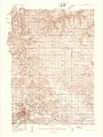
- 1935 USGS Rochester quadrangle1:48000
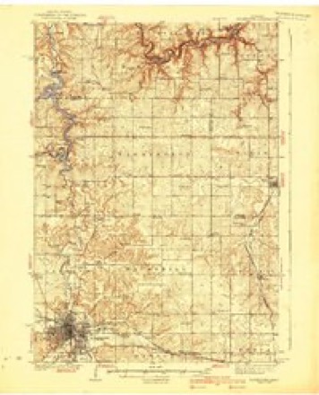
- 1939 USGS Rochester quadrangle1:62500, 4 printings
- 1953 USGS Saint Paul quadrangle1:250000, 3 printings
- 1953 USGS St. Paul quadrangle1:250000
- 1959 USGS Saint Paul quadrangle1:250000
- 1959 USGS St. Paul quadrangle1:250000
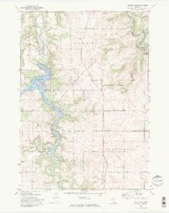
- 1972 USGS Zumbro Lake quadrangle1:24000, 2 printings
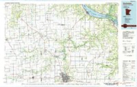
- 1985 USGS Rochester quadrangle1:100000
- 1989 USGS Rochester quadrangle1:100000, 2 printings




In the county-history sources
1,139 words on this townshipHistory of Wabasha County, published 1884 names this settlement in its chapter on Zumbro Township. These are the passages that mention it, exactly as the scans read.
The Wesleyan Methodist church was organized in 1856, by Elder 11. E. Walker, William Perkins, A. W. Martin, Mrs. Martin, Francis Fryer and Mrs. Fryer, and the first services were held in the South Troy schoolhouse, Elder Walker officiating and preaching the first sermon preached in the town.
Passage source: History of Wabasha County, published 1884.
In 1859 a branch of this society was organized by Elder Walker, and services were held in the Red School-house, district No. 49. On alternate Sundays, Elder Walker preached in the morning at the South Troy schoolhouse, and in the afternoon at the red schoolhouse. . At the expiration of eight or nine years he was succeeded by Elder Pegler, who officiated for two years. Elders Baldridge, Hartley and Norton were the predecessors of Elder Cox, who is now the officiating preacher.
Passage source: History of Wabasha County, published 1884.
Since the organization of the branch in the red schoolhouse, some thirty or forty members have been added to the society, rendering their present quarters too small for comfortable accommodation. Accordingly a move was set on focrt to build an edifice expressly for church purposes. By the aid of the South Troy society and that extended by the Wesleyan denomination of the State of Minnesota, they were enable to accomplish their object, having now nearly completed a church edifice to cost about fifteen hundred dollars, and to be finished in time for fall services.
Passage source: History of Wabasha County, published 1884.
Machine-read from a century-old scan, so expect the errors a machine makes: misspelled names, dropped words, stray characters.
Read the whole chapter on Zumbro Township - it names this place 1 more 1 time.
Fires near this place
3 since 1992Regional context, not property-specific evidence. The federal wildfire occurrence database lists 3 fires within 5 miles of South Troy in 1992, burning about 3 acres in total. None started naturally. None was recorded as arson. Distance is straight-line from the map coordinates, so a fire counted here may appear on a neighbouring settlement's page as well.
| Reported cause | Fires |
|---|---|
| Equipment and vehicle use | 1 |
| Recreation and ceremony | 1 |
| Missing data/not specified/undetermined | 1 |
The most recent of them, most recent first, with the day each was reported and the service that recorded it.
| Date | Cause | Size | Reported by | Name on the report |
|---|---|---|---|---|
| 21 August 1992 | Missing data/not specified/undetermined | under an acre | Minnesota Department of Natural Resources | not named |
| 9 May 1992 | Equipment and vehicle use | 2.0 acres | Minnesota Department of Natural Resources | not named |
| 10 May 1992 | Recreation and ceremony | 1.0 acres | Minnesota Department of Natural Resources | not named |
Settlements close enough to share some of these fires:
Mines and quarries near this place
2 within 5 milesRegional context, not property-specific evidence. The federal mineral resources record lists 2 workings within 5 miles of South Troy: 2 producers. All of them still produce. What was taken out: Stone, Crushed/Broken. Distance is straight-line from the map coordinates, so a quarry counted here may appear on a neighbouring settlement's page as well.
| Where | Site | Commodity | Status | Recorded |
|---|---|---|---|---|
| Fick Quarry | Stone, Crushed/Broken | Producer | ||
| Hart Quarry | Stone, Crushed/Broken | Producer |
Nearest settlements
The eight closest, with where each one stands in the county. Distances are straight-line, computed from the Geographic Names Information System coordinates.
| Map | Place | Distance | Sheets |
|---|---|---|---|
| Hammond | 3.3 miles | 15 | |
| Jarrett | 5.4 miles | 15 | |
| Zumbro Falls | 5.4 miles | 13 | |
| Bremen | 6.5 miles | 15 | |
| Bear Valley | 7.2 miles | 13 | |
| Mazeppa | 7.6 miles | 11 | |
| Millville | 7.7 miles | 15 | |
| West Albany | 10.2 miles | 13 |
Elsewhere
Matched on this settlement's Geographic Names Information System number rather than its name, so it cannot be a different place of the same name in another state.
| Wikipedia article on South Troy | An encyclopaedic summary. Its text is share-alike, so it is linked here rather than copied. |
| Wikidata item Q3474463 | The structured record the population and elevation above come from. Public domain (CC0). |
Provenance
This settlement is recorded in the Geographic Names Information System as feature 654951. The sheet list is computed by point-in-boundary test against the United States Geological Survey's historical topographic inventory. Both are works of the United States government and carry no copyright under 17 U.S.C. 105.
Wildfire. Short, Karen C. 2022. Spatial wildfire occurrence data for the United States, 1992-2020 [FPA_FOD_20221014]. 6th Edition. Fort Collins, CO: Forest Service Research Data Archive. https://doi.org/10.2737/RDS-2013-0009.6 Collected with United States Government funding and usable without additional permissions or fees.
Mines and quarries. USGS Mineral Resources Data System (MRDS) https://mrdata.usgs.gov/mrds/ A work of the United States government, no copyright under 17 U.S.C. 105.