 Block
Theilman, Minnesota
15 topographic sheets cover this place, the earliest surveyed in 1932 and the latest in 1989. It stands in West Albany Township. It lies in ZIP code area 55945. It stands on West Indian Creek. The Survey maps it on the Theilman quadrangle. It stands 771 feet above sea level.
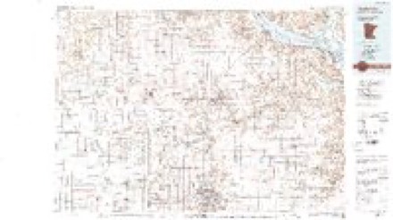
Topographic sheets covering this place
9 surveys from 15 printed sheetsMatched by testing this settlement's coordinate against the published boundary of every sheet in the United States Geological Survey's historical collection. Each opens the scanned sheet at the Survey.
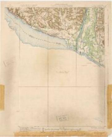
- 1932 USGS Wabasha quadrangle1:62500, 2 printings
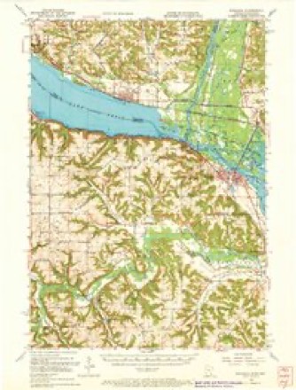
- 1951 USGS Wabasha quadrangle1:62500, 3 printings
- 1953 USGS Saint Paul quadrangle1:250000, 3 printings
- 1953 USGS St. Paul quadrangle1:250000
- 1959 USGS Saint Paul quadrangle1:250000
- 1959 USGS St. Paul quadrangle1:250000
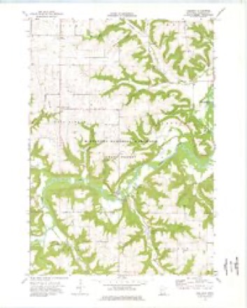
- 1974 USGS Theilman quadrangle1:24000
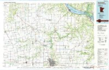
- 1985 USGS Rochester quadrangle1:100000
- 1989 USGS Rochester quadrangle1:100000, 2 printings




In the county-history sources
4,049 words on this townshipHistory of Wabasha County : Together with Biographical Matter, Statistics, Etc. : Gathered from Matter Furnished by Interviews with Old Settlers, County, Township, and Other Records, and Extracts from Files of Papers, Pamphlets, and Such Other Sources As Have Been Available : Also a History of Winona County, published 1884 names this settlement in its chapter on West Albany Township. These are the passages that mention it, exactly as the scans read.
Theilmanton is on tlae railroad in section 36, pleasantly located on a terrace in the valley, and about forty feet above the Zumbro river. It was named in honor of Christian Theilman, through whose influence the station was established, and by whom the town was platted in 1877. In January, 1S78, Peter Hall completed and occupied the commodious two-story frame, where he still holds forth, putting in a stock of general merchandise, valued at about one thousand dollars. He was the tirst to locate on the site of the town, and his stock is now worth about four thousand dollars. In the spring of the same year he was followed by Nicholas Eeil, who erected a good frame building, which he has since occupied as a boot and shoe shop. During the same season William Morris built a blacksmith-shop, and Henry Sommerholder a wagonshop, which he yet occupies. In the fall two saloons were started by William Colegraff and Nils P. Christianson respectively. The latter afterward sold to John Will. Upon the petition of Peter Hall a postoflice was established, December, 1878, with the petitioner as postmaster. During 1878 a commodious grainhouse was erected by C. Theilman, who then began buying grain. In 1882 it passed into the hands of the Wabasha Elevator Company. About forty thousand bushels of grain were shipped from this place in 1882. The population numbers about sixty, and is now almost entirely German.
Machine-read from a century-old scan, so expect the errors a machine makes: misspelled names, dropped words, stray characters.
Fires near this place
9 since 1993Regional context, not property-specific evidence. The federal wildfire occurrence database lists 9 fires within 5 miles of Theilman between 1993 and 2015, burning about 30 acres in total. None started naturally. None was recorded as arson. Distance is straight-line from the map coordinates, so a fire counted here may appear on a neighbouring settlement's page as well.
| Reported cause | Fires |
|---|---|
| Missing data/not specified/undetermined | 4 |
| Equipment and vehicle use | 2 |
| Debris and open burning | 2 |
| Recreation and ceremony | 1 |
The most recent of them, most recent first, with the day each was reported and the service that recorded it.
| Date | Cause | Size | Reported by | Name on the report |
|---|---|---|---|---|
| 5 July 2006 | Missing data/not specified/undetermined | under an acre | Minnesota Department of Natural Resources | not named |
| 16 May 1993 | Recreation and ceremony | 12 acres | Minnesota Department of Natural Resources | not named |
| 26 April 2013 | Debris and open burning | 1.0 acres | Minnesota Department of Natural Resources | not named |
| 2 April 2003 | Missing data/not specified/undetermined | 1.0 acres | Minnesota Department of Natural Resources | not named |
| 16 March 2012 | Equipment and vehicle use | 2.0 acres | Minnesota Department of Natural Resources | not named |
| 19 December 2006 | Missing data/not specified/undetermined | under an acre | Minnesota Department of Natural Resources | not named |
| 3 November 2006 | Missing data/not specified/undetermined | under an acre | Minnesota Department of Natural Resources | not named |
| 2 November 2014 | Equipment and vehicle use | 3.0 acres | Minnesota Department of Natural Resources | not named |
Settlements close enough to share some of these fires:
Storms near this place
6 since 2007Regional context, not property-specific evidence. The National Weather Service names Theilman in 6 storm reports between 2007 and 2021: 3 hail, 1 heavy rain, 1 thunderstorm wind, 1 flash flood. No death or injury is recorded in these reports. Each account below is quoted exactly as the forecast office filed it, from the NOAA Storm Events Database, and each date opens the federal record of that event.
| When | Event | Place named | Harm | What the report says |
|---|---|---|---|---|
| August 2016 | Flash Flood | Theilman | $150,000 | Near Theilman, County Road 86 had a washout and debris over the road and a mudslide covered a portion of County Road 4. Flood waters from West Indian Creek rushed through a campground, damaging several campers and took out a snowmobile bridge. |
| June 2012 | Thunderstorm Wind | Theilman | $25,000 | Near Theilman, a two foot diameter tree was snapped in half and a barn was completely destroyed. |
| September 2010 | Heavy Rain | Theilman | - | Storm total rainfall was 8.57 inches, including 6.25 inches on September 23rd and a brand new daily September record. |
| May 2021 | Hail | Theilman | - | no account filed |
| May 2010 | Hail | Theilman | - | no account filed |
| September 2007 | Hail | Theilman | - | no account filed |
Nearest settlements
The eight closest, with where each one stands in the county. Distances are straight-line, computed from the Geographic Names Information System coordinates.
| Map | Place | Distance | Sheets |
|---|---|---|---|
| Conception | 4.7 miles | 15 | |
| West Albany | 5.0 miles | 13 | |
| Dumfries | 5.4 miles | 15 | |
| Millville | 6.3 miles | 15 | |
| Bremen | 8.4 miles | 15 | |
| Maple Springs | 8.5 miles | 15 | |
| Jarrett | 8.6 miles | 15 | |
| Plainview | 8.6 miles | 13 |
Elsewhere
Matched on this settlement's Geographic Names Information System number rather than its name, so it cannot be a different place of the same name in another state.
| Wikipedia article on Theilman | An encyclopaedic summary. Its text is share-alike, so it is linked here rather than copied. |
| Wikidata item Q7777792 | The structured record the population and elevation above come from. Public domain (CC0). |
Provenance
This settlement is recorded in the Geographic Names Information System as feature 653123. The sheet list is computed by point-in-boundary test against the United States Geological Survey's historical topographic inventory. Both are works of the United States government and carry no copyright under 17 U.S.C. 105.
Wildfire. Short, Karen C. 2022. Spatial wildfire occurrence data for the United States, 1992-2020 [FPA_FOD_20221014]. 6th Edition. Fort Collins, CO: Forest Service Research Data Archive. https://doi.org/10.2737/RDS-2013-0009.6 Collected with United States Government funding and usable without additional permissions or fees.
Storms. NOAA National Centers for Environmental Information, Storm Events Database https://www.ncei.noaa.gov/stormevents/ A work of the United States government, no copyright under 17 U.S.C. 105. Narratives are quoted verbatim from the National Weather Service report and are not edited or summarised.