 Block
Plainview, Minnesota
13 topographic sheets cover this place, the earliest surveyed in 1934 and the latest in 1989. It stands in Plainview Township. It lies in ZIP code area 55964. The Survey maps it on the Plainview quadrangle. 3,483 people lived here at the 2020 count. It stands 1,161 feet above sea level.
Population over time
2 figuresPlainview grew from 3,340 to 3,483 between 2010 and 2020. These are the recorded population figures Wikidata holds for this place, reached through the Geographic Names Information System number this page is keyed on rather than by name, so they belong to this place and not to another of the same name. Most are census counts, but not all are: an early figure may be a founding or settlement estimate, and an estimate published within five years of a census is left out. The change column is computed, and is left blank where more than 20 years separate a figure from the one before it, because a gap that long is not a change between two counts.
| Year | People | Change |
|---|---|---|
| 2010 | 3,340 | |
| 2020 | 3,483 | +143 (+4%) |
Topographic sheets covering this place
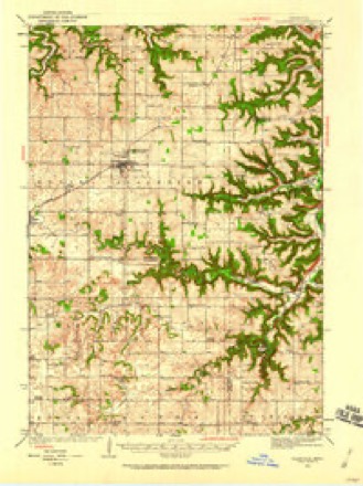
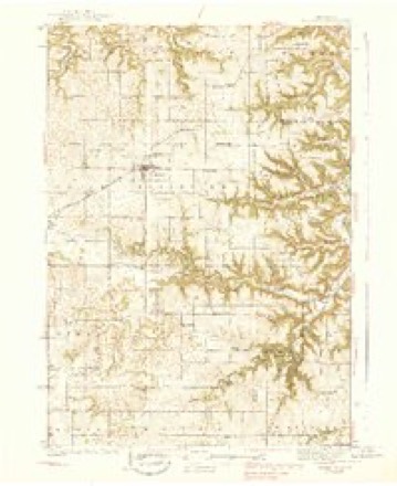
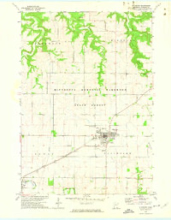
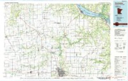
9 surveys from 13 printed sheetsMatched by testing this settlement's coordinate against the published boundary of every sheet in the United States Geological Survey's historical collection. Each opens the scanned sheet at the Survey.
- 1934 USGS Plainview quadrangle1:62500
- 1938 USGS Plainview quadrangle1:62500, 2 printings
- 1953 USGS Saint Paul quadrangle1:250000, 3 printings
- 1953 USGS St. Paul quadrangle1:250000
- 1959 USGS Saint Paul quadrangle1:250000
- 1959 USGS St. Paul quadrangle1:250000
- 1972 USGS Plainview quadrangle1:24000
- 1985 USGS Rochester quadrangle1:100000
- 1989 USGS Rochester quadrangle1:100000, 2 printings




In the county-history sources
1,992 words on this townshipHistory of Wabasha County : Together with Biographical Matter, Statistics, Etc. : Gathered from Matter Furnished by Interviews with Old Settlers, County, Township, and Other Records, and Extracts from Files of Papers, Pamphlets, and Such Other Sources As Have Been Available : Also a History of Winona County, published 1884 names this settlement in its chapter on Plainview Township. These are the passages that mention it, exactly as the scans read.
The cliacming little village of" Plainview is found in the heart of that delightful tract of countiy in the southern part of Wabasha county known as Greenwood Prairie. The place now (in 18Si) has a population of probably eight hundred, the result of a steady and wholesome development through a period of twenty-eight years. It is located in the township of Plainview, on parts of sections 7, 8, 9, 16, 17 and 18, about four miles north of the White Water, the nearest river. It is the terminus of the Plainview di\dsion of the Chicago & Northwestern railway, which has its junction with the main line at Eyotain the adjoining coimty of Olmsted.
In the spring of 1S56 J. Y. Blackwell, an Iowa lawyer, possessed of pioneer proclivities, arrived with his family on what is now the village site, and erected an insignificant domicile, lialf logs and half boards, near the present location of Geo. S. La Rue & Go's drug store, corner Broadway and Jefferson street; and the same season Levi Ormsby constructed a claim shanty a half-mile fiirther west. Mr. Blackwell was possessed of some means and at once set about getting out the timbers for a hotel, which was raised on the site of the present Plainview House, on the ensuing 4th of July. Ozias Wilcox arrived that summer, bought forty acres opjsosite the hotel, on section 8, from Hugh Wiley, and erected a store and dwelling combined. David Van Wort put up a carpenter-shop, and a Mr. Bray a blacksmith-shop. A few others had located on land that has since become a part of the present village of Plainview ; among these were Edwin Chapman, Lloyd Yale and David Ackley ; Dr. Gibbs was also an early comer. Tims populated the embryo city encountered the terrible winter of 1856-7, which opened up in November with a terrific snowstorm. The snow lay to a depth of about four feet on the level until the following April, and in places was drifted so as to nearly bury the poor little shanties of these humble pioneers. Communication with the outside world was practically cut off, and fortunate was this little com- inunity in having Mr. Wilcox and Lis well stocked store of groceries and provisions to draw upon in its extremity. This store is the same building now occupied by the Plainview bank. Throughout the entire winter of 1S76-7, it was surrounded by a narrow court, swept bare by the same' sporting winds that banked the snow several feet high on every side. Into these walls of snow, hard packed and frozen, steps were cut, that pi'oved a substantial means of exit from the court below until an April sun destroyed them.
The severity of this first winter disheartened many people in the settlement, and but for poverty and a beautiful spring another winter would have found Plainview quite deserted. However, with the return of spring came new pioneer reinforcements from the States, other industries were established, and a delightful and prosperous season reassured all save Mr. Blackwell, who shrank from encountering the hardships of another winter, and busied himself in the disposal of his Plainview possessions, that he might be off before the approach of cold weather. In this he succeeded, and at once left for his Iowa home, deserting forever his little prairie protege.
Machine-read from a century-old scan, so expect the errors a machine makes: misspelled names, dropped words, stray characters.
Read the whole chapter on Plainview Township - it names this place 14 more 14 times.
Fires near this place
17 since 1993Regional context, not property-specific evidence. The federal wildfire occurrence database lists 17 fires within 5 miles of Plainview between 1993 and 2016, burning about 12 acres in total. None started naturally. None was recorded as arson. Distance is straight-line from the map coordinates, so a fire counted here may appear on a neighbouring settlement's page as well.
| Reported cause | Fires |
|---|---|
| Smoking | 6 |
| Missing data/not specified/undetermined | 5 |
| Equipment and vehicle use | 4 |
| Debris and open burning | 2 |
The most recent of them, most recent first, with the day each was reported and the service that recorded it.
| Date | Cause | Size | Reported by | Name on the report |
|---|---|---|---|---|
| 16 September 2002 | Smoking | under an acre | Minnesota Department of Natural Resources | not named |
| 10 July 2005 | Missing data/not specified/undetermined | 1.0 acres | Minnesota Department of Natural Resources | not named |
| 16 June 2003 | Missing data/not specified/undetermined | 1.0 acres | Minnesota Department of Natural Resources | not named |
| 7 May 2000 | Missing data/not specified/undetermined | under an acre | Minnesota Department of Natural Resources | not named |
| 21 May 1993 | Smoking | under an acre | Minnesota Department of Natural Resources | not named |
| 17 May 2016 | Debris and open burning | under an acre | Minnesota Department of Natural Resources | not named |
| 5 April 2000 | Smoking | under an acre | Minnesota Department of Natural Resources | not named |
| 4 April 2005 | Missing data/not specified/undetermined | 1.0 acres | Minnesota Department of Natural Resources | not named |
Settlements close enough to share some of these fires:
Mines and quarries near this place
1 within 5 milesRegional context, not property-specific evidence. The federal mineral resources record lists 1 working within 5 miles of Plainview: 1 producer. All of them still produce. What was taken out: Stone, Crushed/Broken. Distance is straight-line from the map coordinates, so a quarry counted here may appear on a neighbouring settlement's page as well.
| Where | Site | Commodity | Status | Recorded |
|---|---|---|---|---|
| Becker Quarry | Stone, Crushed/Broken | Producer |
Storms near this place
39 since 1993Regional context, not property-specific evidence. The National Weather Service names Plainview in 39 storm reports between 1993 and 2025: 23 hail, 12 thunderstorm wind, 2 tornado, 1 flood. No death or injury is recorded in these reports. Each account below is quoted exactly as the forecast office filed it, from the NOAA Storm Events Database, and each date opens the federal record of that event.
| When | Event | Place named | Harm | What the report says |
|---|---|---|---|---|
| September 2010 | Flood | Plainview | $4,500,000 | Flooding occurred along rivers, streams and creeks as well as low-lying areas throughout the county. At least 14 roads were closed across the county due to water over the roads, including U.S. Highway 63, State Highways 68 and 60, and County Roads 3, 8, 21, and 11. At least 10 schools throughout the county canceled classes due to road closures. It was estimated that 300 homes were affected by flood waters throughout the county, 99 of which were in the towns of Zumbro Falls and Hammond. The areas that saw the worst flooding included locations along the Zumbro River, including the cities of Zumbro Falls, Hammond, Millville, and Jarrett. Due to the rising river, the towns of Zumbro Falls, Hammond, and Millville were evacuated, as well as 20 to 30 residents who lived along County Road 11 between Hammond and Millville. In Kellogg, massive erosion occurred along the Zumbro River, which endangered some homes. |
| May 2022 | Hail | Plainview | $125,000 | Hail ranging in size from golf ball to tennis ball fell north of Plainview. |
| June 1998 | Thunderstorm Wind | Plainview | $85,000 | no account filed |
| July 2024 | Hail | Plainview | $82,000 | The public reported golf ball sized hail in the town of Plainview. |
| December 2021 | Tornado (EF1) | Plainview | $65,000 | An EF1 tornado developed southeast of Plainview and moved northeast across rural portions of southern Wabasha County. Farm outbuildings and trees were damaged along the path of the tornado. |
| December 2021 | Thunderstorm Wind | Plainview | $25,000 | A large pole shed was extensively damaged in Plainview. |
| December 2021 | Thunderstorm Wind | Plainview | $25,000 | A barn was destroyed southeast of Plainview. |
| May 1998 | Thunderstorm Wind | Plainview | $15,000 | no account filed |
| May 1998 | Thunderstorm Wind | Plainview | $12,000 | no account filed |
| December 2021 | Thunderstorm Wind | Plainview | $10,000 | The metal roof was partially removed from a pole shed east of Plainview. |
| May 2017 | Flash Flood | Plainview | $10,000 | Runoff from heavy rain pushed the North Fork of the Whitewater River out of its banks in Carley State Park. The flooding washed out access roads and knocked down some trees. |
| May 2017 | Tornado (EF0) | Plainview | $10,000 | An EF-0 tornado produced spotty damage in Plainview. The backside of a metal shed was blown down, part of roof was taken off a storage building and the batting cage at a baseball field was destroyed. |
| May 1998 | Hail | Plainview | $10,000 | no account filed |
| June 1998 | Hail | Plainview | $10,000 | no account filed |
| May 1998 | Hail | Plainview | $8,500 | no account filed |
| May 2000 | Hail | Plainview | $5,000 | no account filed |
| August 2007 | Thunderstorm Wind | Plainview | $2,500 | Trees were blown down. |
| May 2000 | Hail | Plainview | $2,500 | no account filed |
| July 2003 | Hail | Plainview | $1,250 | no account filed |
| July 2003 | Thunderstorm Wind | Plainview | $750 | no account filed |
| March 2025 | Hail | Plainview | - | Law enforcement reported nickel sized hail in Plainview, Minnesota. |
| July 2023 | Hail | Plainview | - | Law enforcement reported ping pong ball sized hail near Plainview. |
| July 2023 | Hail | Plainview | - | Public reported ping pong ball sized hail near Plainview. |
| December 2021 | Thunderstorm Wind | Plainview | - | An 85 mph wind gust was measured by a private weather station in Plainview. |
| July 2019 | Thunderstorm Wind | Plainview | - | Trees and power lines were blown down in Plainview. |
| August 2019 | Hail | Plainview | - | Quarter to half dollar sized hail fell in Plainview. |
| April 2017 | Hail | Plainview | - | Quarter sized hail fell south of Plainview. |
| August 2007 | Thunderstorm Wind | Plainview | - | Trees were knocked down in town. |
| August 1993 | Thunderstorm Wind | Plainview | - | Severe thunderstorms blew across southeast Minnesota causing strong, downburst winds across the area. Trees and power lines were blown down across parts of Waseca County, Olmsted County, and Wabasha County. A roof was blown from a shed by strong winds near Plainview (Wabasha County). |
| April 2022 | Hail | Plainview | - | no account filed |
| June 2016 | Hail | Plainview | - | no account filed |
| May 2016 | Hail | Plainview | - | no account filed |
| May 2013 | Hail | Plainview | - | no account filed |
| May 2012 | Hail | Plainview | - | no account filed |
| May 2012 | Hail | Plainview | - | no account filed |
| March 2005 | Hail | Plainview | - | no account filed |
| May 2004 | Hail | Plainview | - | no account filed |
| July 2003 | Hail | Plainview | - | no account filed |
| April 2002 | Hail | Plainview | - | no account filed |
Nearest settlements
The eight closest, with where each one stands in the county. Distances are straight-line, computed from the Geographic Names Information System coordinates.
| Map | Place | Distance | Sheets |
|---|---|---|---|
| Elgin | 4.9 miles | 15 | |
| Conception | 7.7 miles | 15 | |
| Bremen | 8.0 miles | 15 | |
| Millville | 8.6 miles | 15 | |
| Theilman | 8.6 miles | 15 | |
| Jarrett | 10.1 miles | 15 | |
| West Albany | 11.2 miles | 13 | |
| Hammond | 11.4 miles | 15 |
Elsewhere
Matched on this settlement's Geographic Names Information System number rather than its name, so it cannot be a different place of the same name in another state.
| Wikipedia article on Plainview | An encyclopaedic summary. Its text is share-alike, so it is linked here rather than copied. |
| Wikidata item Q1991931 | The structured record the population and elevation above come from. Public domain (CC0). |
Provenance
This settlement is recorded in the Geographic Names Information System as feature 649536. The sheet list is computed by point-in-boundary test against the United States Geological Survey's historical topographic inventory. Both are works of the United States government and carry no copyright under 17 U.S.C. 105.
Wildfire. Short, Karen C. 2022. Spatial wildfire occurrence data for the United States, 1992-2020 [FPA_FOD_20221014]. 6th Edition. Fort Collins, CO: Forest Service Research Data Archive. https://doi.org/10.2737/RDS-2013-0009.6 Collected with United States Government funding and usable without additional permissions or fees.
Mines and quarries. USGS Mineral Resources Data System (MRDS) https://mrdata.usgs.gov/mrds/ A work of the United States government, no copyright under 17 U.S.C. 105.
Storms. NOAA National Centers for Environmental Information, Storm Events Database https://www.ncei.noaa.gov/stormevents/ A work of the United States government, no copyright under 17 U.S.C. 105. Narratives are quoted verbatim from the National Weather Service report and are not edited or summarised.