 Block
West Newton, Minnesota
20 topographic sheets cover this place, the earliest surveyed in 1932 and the latest in 1985. It stands in Minneiska Township. It lies in ZIP code area 55945. It lies near Murphys Cut Rock Structure. The Survey maps it on the Alma quadrangle. It stands 666 feet above sea level.
Topographic sheets covering this place
7 surveys from 20 printed sheetsMatched by testing this settlement's coordinate against the published boundary of every sheet in the United States Geological Survey's historical collection. Each opens the scanned sheet at the Survey.
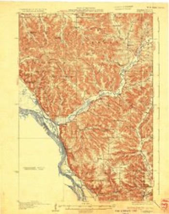
- 1932 USGS Alma quadrangle1:62500, 2 printings
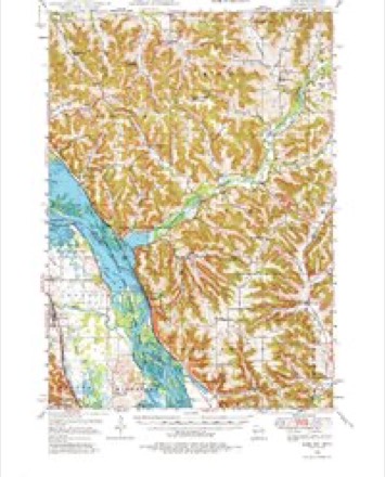
- 1950 USGS Alma quadrangle1:62500, 8 printings
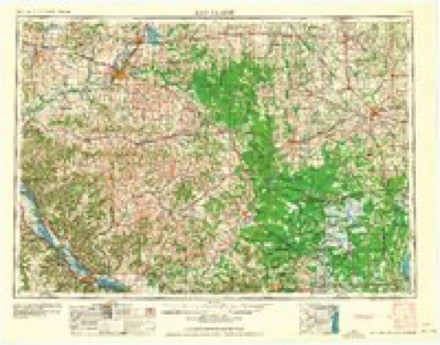
- 1953 USGS Eau Claire quadrangle1:250000, 4 printings
- 1958 USGS Eau Claire quadrangle1:250000
- 1964 USGS Eau Claire quadrangle1:250000
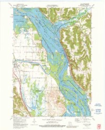
- 1974 USGS Alma quadrangle1:24000, 2 printings
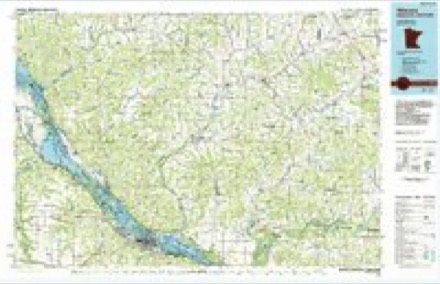
- 1985 USGS Winona quadrangle1:100000, 2 printings
In the county-history sources
1,828 words on this townshipHistory of Wabasha County : Together with Biographical Matter, Statistics, Etc. : Gathered from Matter Furnished by Interviews with Old Settlers, County, Township, and Other Records, and Extracts from Files of Papers, Pamphlets, and Such Other Sources As Have Been Available : Also a History of Winona County, published 1884 names this settlement in its chapter on Minneiska Township. These are the passages that mention it, exactly as the scans read.
In 1855 West Newton was doing well. Shanties liad multiplied, a tavern, two stores and a sawmill was in operation. A road had been opened to Eochester ; considerable lumber was being cut, and West Newton postoiEce was established in 1S53, with Wm. Eunnell as postmaster. Everything pointed to prosperity for the city and its promoters, and it looked as if at a very early date the place would become one of considerable importance ; but it turned out to be that the bona fide town was built on as slim a foundation as the one on paper, and retributive justice fell quickly on West Newton and its projectors. The city had been laid out on the low flat bordering the river, and the Father of Waters resenting the fraud, as it were, rose it its mighty wrath and swept the city of West Newton out of existence forever. Not a vestige of the place remains, and to this day it is covered with water. The proprietors moved higher up, but never again attempted to resurrect AVest Newton.
1852 brought B. C. Baldwin, Abner Tibbetts, B. H. Eeppe and Joseph Schurb, who all took up land on the river bank. A year later John Cook, Albert Pomeroy and othei's came in, and Eeed, Baldwin, Tibbetts and Eeppe laid out their claims into a town site. During the summer a steamer had come to grief and sank just opposite their claims, her pilot-house remaining above water, with her name, "West Newton,'' in large letters, so they christened their embryo town "West Xewton, and proceeded, through the agency of speculators in New York and Chicago, to dispose of "city lots." The old settlers, in speaking of these men, dubbed them " land gulls." Elaborate plans were drawnshowingreservationsfor parks, magnificent streets, public buildings, hotels, etc., and a large number of these "city lots " were disposed of The scene described by some old pioneers would be laughable, if it were not sad, of the landing of a purchaser of a city lot asking for the city, and being pointed to the sunken steamer and the half-dozen shanties on the low sliore. Eeed built a store and hotel in 1853, and Eeppe building a store in 1854 ; settlers in the meantime taking up land in which is now the townships of Minneiska and Mount Vernon.
Machine-read from a century-old scan, so expect the errors a machine makes: misspelled names, dropped words, stray characters.
Fires near this place
20 since 1992Regional context, not property-specific evidence. The federal wildfire occurrence database lists 20 fires within 5 miles of West Newton between 1992 and 2020, burning about 450 acres in total. None started naturally. 6 were recorded as arson. Distance is straight-line from the map coordinates, so a fire counted here may appear on a neighbouring settlement's page as well.
| Reported cause | Fires |
|---|---|
| Arson/incendiarism | 6 |
| Smoking | 4 |
| Missing data/not specified/undetermined | 4 |
| Debris and open burning | 3 |
| Equipment and vehicle use | 1 |
| Recreation and ceremony | 1 |
| Railroad operations and maintenance | 1 |
The most recent of them, most recent first, with the day each was reported and the service that recorded it.
| Date | Cause | Size | Reported by | Name on the report |
|---|---|---|---|---|
| 30 September 2000 | Missing data/not specified/undetermined | 1.0 acres | Minnesota Department of Natural Resources | not named |
| 5 July 1996 | Smoking | under an acre | Minnesota Department of Natural Resources | not named |
| 29 July 2015 | Missing data/not specified/undetermined | under an acre | Minnesota Department of Natural Resources | not named |
| 5 May 2014 | Debris and open burning | 1.0 acres | Minnesota Department of Natural Resources | not named |
| 3 May 1992 | Smoking | 1.0 acres | Minnesota Department of Natural Resources | not named |
| 18 May 2014 | Missing data/not specified/undetermined | 5.5 acres | Minnesota Department of Natural Resources | not named |
| 18 May 2012 | Smoking | under an acre | Minnesota Department of Natural Resources | not named |
| 5 April 2000 | Smoking | under an acre | Minnesota Department of Natural Resources | not named |
Settlements close enough to share some of these fires:
Mines and quarries near this place
10 of 17 shownRegional context, not property-specific evidence. The federal mineral resources record lists 17 workings within 5 miles of West Newton: 8 past producers, 7 occurrences, 1 producer, 1 unknown. 1 still produces. What was taken out: Stone, Crushed/Broken, Sand and Gravel, Construction, Stone, Sand and Gravel, Construction. Distance is straight-line from the map coordinates, so a quarry counted here may appear on a neighbouring settlement's page as well.
| Where | Site | Commodity | Status | Recorded |
|---|---|---|---|---|
| Own Crews | Stone, Sand and Gravel, Construction | Unknown | ||
| Alma Limestone Quarry | Stone, Crushed/Broken | Past Producer | ||
| Alma Sandstone Deposit | Stone, Crushed/Broken | Occurrence | ||
| Averbeck Gravel Deposit | Sand and Gravel, Construction | Occurrence | ||
| Buffalo City Gravel Deposit | Sand and Gravel, Construction | Occurrence | ||
| Buffalo City Gravel Pit | Sand and Gravel, Construction | Past Producer | ||
| Cochrane Gravel Pit | Sand and Gravel, Construction | Past Producer | ||
| Foegen Road Gravel Deposit | Sand and Gravel, Construction | Occurrence | ||
| Hoch Limestone Quarry | Stone, Crushed/Broken | Past Producer | ||
| J. Martin Gravel Deposit | Sand and Gravel, Construction | Occurrence |
Nearest settlements
The eight closest, with where each one stands in the county. Distances are straight-line, computed from the Geographic Names Information System coordinates.
| Map | Place | Distance | Sheets |
|---|---|---|---|
| Weaver | 3.8 miles | 14 | |
| Kellogg | 5.9 miles | 20 | |
| Midland Junction | 6.6 miles | 15 | |
| Wabasha | 10.8 miles | 16 | |
| Conception | 11.1 miles | 15 | |
| Dumfries | 12.9 miles | 15 | |
| Reads Landing | 13.4 miles | 16 | |
| Theilman | 15.5 miles | 15 |
Elsewhere
Matched on this settlement's Geographic Names Information System number rather than its name, so it cannot be a different place of the same name in another state.
| Wikipedia article on West Newton | An encyclopaedic summary. Its text is share-alike, so it is linked here rather than copied. |
| Wikidata item Q24897719 | The structured record the population and elevation above come from. Public domain (CC0). |
Provenance
This settlement is recorded in the Geographic Names Information System as feature 655004. The sheet list is computed by point-in-boundary test against the United States Geological Survey's historical topographic inventory. Both are works of the United States government and carry no copyright under 17 U.S.C. 105.
Wildfire. Short, Karen C. 2022. Spatial wildfire occurrence data for the United States, 1992-2020 [FPA_FOD_20221014]. 6th Edition. Fort Collins, CO: Forest Service Research Data Archive. https://doi.org/10.2737/RDS-2013-0009.6 Collected with United States Government funding and usable without additional permissions or fees.
Mines and quarries. USGS Mineral Resources Data System (MRDS) https://mrdata.usgs.gov/mrds/ A work of the United States government, no copyright under 17 U.S.C. 105.