 Block
Weaver, Minnesota
14 topographic sheets cover this place, the earliest surveyed in 1932 and the latest in 1985. It stands in Minneiska Township. It lies in ZIP code area 55910. It stands on East Indian Creek. The Survey maps it on the Weaver quadrangle. It stands 689 feet above sea level.
On record in Weaver
Buildings and businesses the archive holds for this place. Each opens its own page, with the source record it came from.
On the National Register within a mile 1 record
The National Register names another town for these. They stand within one mile of this settlement's coordinate.
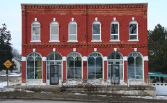 Weaver Mercantile Buildinglisted 1978 · 0.0 miles away
Topographic sheets covering this place
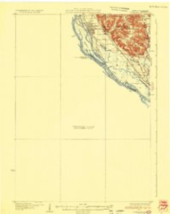
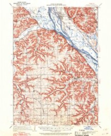
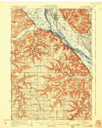
8 surveys from 14 printed sheetsMatched by testing this settlement's coordinate against the published boundary of every sheet in the United States Geological Survey's historical collection. Each opens the scanned sheet at the Survey.
- 1932 USGS Cochrane quadrangle1:62500
- 1934 USGS Cochrane quadrangle1:62500
- 1937 USGS Cochrane quadrangle1:62500, 2 printings
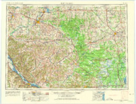
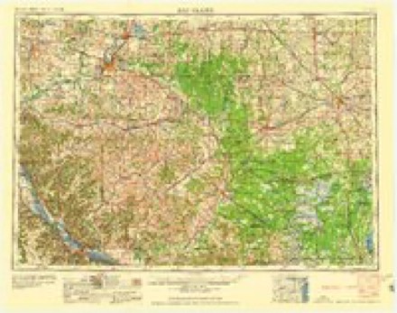
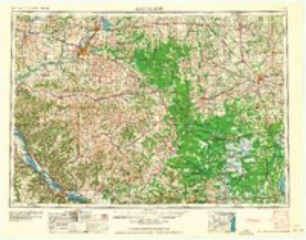
- 1953 USGS Eau Claire quadrangle1:250000, 4 printings
- 1958 USGS Eau Claire quadrangle1:250000
- 1964 USGS Eau Claire quadrangle1:250000
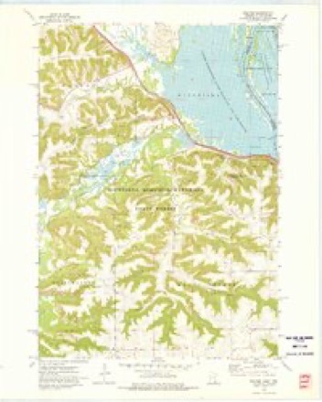
- 1972 USGS Weaver quadrangle1:24000, 2 printings
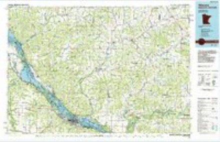
- 1985 USGS Winona quadrangle1:100000, 2 printings
In the county-history sources
1,828 words on this townshipHistory of Wabasha County : Together with Biographical Matter, Statistics, Etc. : Gathered from Matter Furnished by Interviews with Old Settlers, County, Township, and Other Records, and Extracts from Files of Papers, Pamphlets, and Such Other Sources As Have Been Available : Also a History of Winona County, published 1884 names this settlement in its chapter on Minneiska Township. These are the passages that mention it, exactly as the scans read.
Minneiska is a fine brisk business town, containing within its limits two villages, one of which bears the same name as the town, while the fitlier is called Weaver and is situated about three miles northwest of the village of Minneiska, the latter village being situated in the extreme southeastern corner of the town. Both Minneiska and Weaver are stations on the line of the Chicago, Milwaukee & St. Paul railway. The village of Minneiska is built on the banks of the Mississippi river, and has one of the finest natural boat-landings to be found on the great "Father of Waters" from Lake Itaska to the Gulf. The village extends for about a mile along the river's bank, and contains but one street of anj consequence. So abrupt is the ascent of the high bhiffs which at tliis point rise abnost from the river shore and tower over tlie village at an altitude of live liundred feet, that it was impossible to do otherwise than confine the limits of the village to this narrow compass. During the winter months the sun, shortlj after noon, hides her face behind these steep bluffs, not to appear again until she peeps over the AVisconsin hills on the following morning, while during other seasons of the year she is lost to Minneiska at a correspondingly early hour, and it may therefore be truthfully said that in this village " the sun never sets."
Machine-read from a century-old scan, so expect the errors a machine makes: misspelled names, dropped words, stray characters.
Fires near this place
35 since 1992Regional context, not property-specific evidence. The federal wildfire occurrence database lists 35 fires within 5 miles of Weaver between 1992 and 2020, burning about 512 acres in total. None started naturally. 9 were recorded as arson. Distance is straight-line from the map coordinates, so a fire counted here may appear on a neighbouring settlement's page as well.
| Reported cause | Fires |
|---|---|
| Arson/incendiarism | 9 |
| Missing data/not specified/undetermined | 8 |
| Smoking | 6 |
| Recreation and ceremony | 5 |
| Equipment and vehicle use | 3 |
| Debris and open burning | 3 |
| Railroad operations and maintenance | 1 |
The most recent of them, most recent first, with the day each was reported and the service that recorded it.
| Date | Cause | Size | Reported by | Name on the report |
|---|---|---|---|---|
| 30 September 2000 | Missing data/not specified/undetermined | 1.0 acres | Minnesota Department of Natural Resources | not named |
| 2 August 2012 | Recreation and ceremony | 15 acres | Minnesota Department of Natural Resources | not named |
| 5 July 1996 | Smoking | under an acre | Minnesota Department of Natural Resources | not named |
| 29 July 2015 | Missing data/not specified/undetermined | under an acre | Minnesota Department of Natural Resources | not named |
| 29 July 1993 | Missing data/not specified/undetermined | 5.0 acres | Minnesota Department of Natural Resources | not named |
| 28 July 2004 | Missing data/not specified/undetermined | 5.0 acres | Minnesota Department of Natural Resources | not named |
| 4 June 1992 | Recreation and ceremony | under an acre | Minnesota Department of Natural Resources | not named |
| 5 May 2014 | Debris and open burning | 1.0 acres | Minnesota Department of Natural Resources | not named |
Settlements close enough to share some of these fires:
Mines and quarries near this place
9 within 5 milesRegional context, not property-specific evidence. The federal mineral resources record lists 9 workings within 5 miles of Weaver: 6 occurrences, 2 past producers, 1 producer. 1 still produces. What was taken out: Sand and Gravel, Construction, Clay, Stone, Crushed/Broken. Distance is straight-line from the map coordinates, so a quarry counted here may appear on a neighbouring settlement's page as well.
| Where | Site | Commodity | Status | Recorded |
|---|---|---|---|---|
| Dodge County Clay Deposit | Clay | Occurrence | ||
| Weaver Quarry | Stone, Crushed/Broken | Producer | ||
| Averbeck Gravel Deposit | Sand and Gravel, Construction | Occurrence | ||
| Buffalo City Gravel Deposit | Sand and Gravel, Construction | Occurrence | ||
| Buffalo City Gravel Pit | Sand and Gravel, Construction | Past Producer | ||
| Foegen Road Gravel Deposit | Sand and Gravel, Construction | Occurrence | ||
| J. Martin Gravel Deposit | Sand and Gravel, Construction | Occurrence | ||
| Lizzy Pauls Pond Gravel Pit | Sand and Gravel, Construction | Past Producer | ||
| River Road Gravel Deposit | Sand and Gravel, Construction | Occurrence |
Storms near this place
2 since 2016Regional context, not property-specific evidence. The National Weather Service names Weaver in 2 storm reports between 2016 and 2021: 2 hail. No death or injury is recorded in these reports. Each account below is quoted exactly as the forecast office filed it, from the NOAA Storm Events Database, and each date opens the federal record of that event.
Nearest settlements
The eight closest, with where each one stands in the county. Distances are straight-line, computed from the Geographic Names Information System coordinates.
| Map | Place | Distance | Sheets |
|---|---|---|---|
| West Newton | 3.8 miles | 20 | |
| Kellogg | 7.4 miles | 20 | |
| Midland Junction | 8.3 miles | 15 | |
| Conception | 10.2 miles | 15 | |
| Wabasha | 12.9 miles | 16 | |
| Plainview | 13.3 miles | 13 | |
| Dumfries | 13.5 miles | 15 | |
| Theilman | 14.9 miles | 15 |
Elsewhere
Matched on this settlement's Geographic Names Information System number rather than its name, so it cannot be a different place of the same name in another state.
| Wikipedia article on Weaver | An encyclopaedic summary. Its text is share-alike, so it is linked here rather than copied. |
| Wikidata item Q7978344 | The structured record the population and elevation above come from. Public domain (CC0). |
Provenance
This settlement is recorded in the Geographic Names Information System as feature 653873. The sheet list is computed by point-in-boundary test against the United States Geological Survey's historical topographic inventory. Both are works of the United States government and carry no copyright under 17 U.S.C. 105.
Wildfire. Short, Karen C. 2022. Spatial wildfire occurrence data for the United States, 1992-2020 [FPA_FOD_20221014]. 6th Edition. Fort Collins, CO: Forest Service Research Data Archive. https://doi.org/10.2737/RDS-2013-0009.6 Collected with United States Government funding and usable without additional permissions or fees.
Mines and quarries. USGS Mineral Resources Data System (MRDS) https://mrdata.usgs.gov/mrds/ A work of the United States government, no copyright under 17 U.S.C. 105.
Storms. NOAA National Centers for Environmental Information, Storm Events Database https://www.ncei.noaa.gov/stormevents/ A work of the United States government, no copyright under 17 U.S.C. 105. Narratives are quoted verbatim from the National Weather Service report and are not edited or summarised.