 Block
Alpha, Missouri
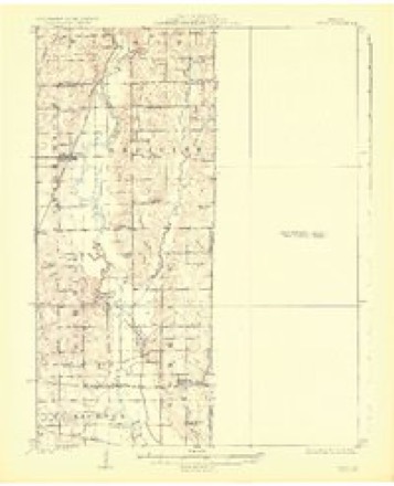
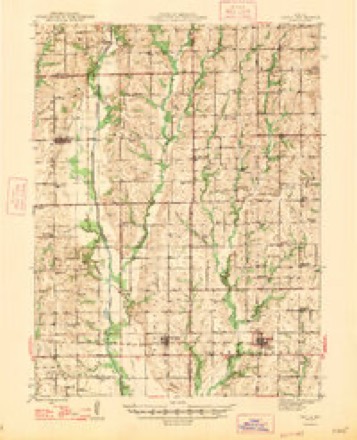
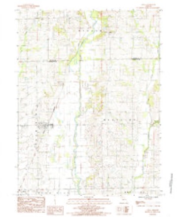
14 topographic sheets cover this place, the earliest surveyed in 1924 and the latest in 1983. It stands in Wilson Township. It lies in ZIP code area 64652. The Survey maps it on the Chula quadrangle.
Topographic sheets covering this place
8 surveys from 14 printed sheetsMatched by testing this settlement's coordinate against the published boundary of every sheet in the United States Geological Survey's historical collection. Each opens the scanned sheet at the Survey.
- 1924 USGS Chula quadrangle1:62500, 3 printings
- 1947 USGS Chula quadrangle1:62500, 3 printings
- 1953 USGS Moberly quadrangle1:250000
- 1954 USGS Moberly quadrangle1:250000, 3 printings
- 1957 USGS Moberly quadrangle1:250000
- 1960 USGS Moberly quadrangle1:250000
- 1981 USGS Chillicothe quadrangle1:100000
- 1983 USGS Chula quadrangle1:24000




What happened here
An account from the chapter on Wilson township. The inset identifies its exact source book and publication year.
Tragic Events
On the 2d day of November, 1860, occurred a death, the sad circumstances of which left their impress on the surrounding community for many years afterward. At the date ^Iven Mrs. Sarah S. Bo vers, a verv estimable lady, committed suicide by drowning. Domestic troubles caused unhappiness in her home, and without saying a word to any one ot^lier terrible purpose she hurried away and threw herself into the murky waters of Medicine River, near the south line of Marion township.
In the county-history sources
7,553 words on this townshipThe History of Grundy County, Missouri : an Encyclopedia of Useful Information, and a Compendium of Actual Facts. It Contains a Condensed History of the State of Missouri and Its Chief Cities ... ; Its Pioneer Record, War History, Resources, Biographical Sketches, published 1881 names this settlement in its chapter on Wilson Township. These are the passages that mention it, exactly as the scans read.
Merryman, assessor; T. M. Lawhead, clerk. The meetings of the board were held at Alpha. This board continued in office until May, 1878. The present board was elected under the new law, and their names are William Bales and Kathan Cravens, justices of the peace; Henry Anderson, trustee; W. H. Robertson, clerk and assessor; and J. H. Rinker, collector.
Passage source: The History of Grundy County, Missouri : an Encyclopedia of Useful Information, and a Compendium of Actual Facts. It Contains a Condensed History of the State of Missouri and Its Chief Cities ... ; Its Pioneer Record, War History, Resources, Biographical Sketches, published 1881.
The town of Alpha is situated on the east bank of Medicine Creek, about one and a half miles north of the Livingston county line, twenty miles from Chillicothe and fifteen miles from Trenton. The town is surrounded by a rich and fertile country and is therefore a convenient trading-point for a thrifty class of farmers.
Passage source: The History of Grundy County, Missouri : an Encyclopedia of Useful Information, and a Compendium of Actual Facts. It Contains a Condensed History of the State of Missouri and Its Chief Cities ... ; Its Pioneer Record, War History, Resources, Biographical Sketches, published 1881.
The present town site covers eleven acres, and was oi-iginally the property of Samuel Barr. In 1850 Samuel Dunham opened a store on the ground now occupied by the residence of Dr. J. P. Thomas. General merchandise was kept, along with a good quality of whisky. This store was made the general headquarters of the township for news and general information, and most any time could be found a few settlers there congregated discussing the topics of the times appropriately interspersed with liquid refreshments. The store and one cabin constituted the town, which at that time bore the euphonious title of "Lickskillet," but why, no man can find out. In 1852 Benjamin F. White opened a second store in Lickskillet and the village immediatel}' began to assume metropolitan proportions. Several settlers erected cabins until there must have been fully a half dozen of these residences in the neighborhood. The town was named Nevada, and in 1854 a post-office was established with Meredith White as postmaster. Then it was discovered that there was a Nevada in Vernon county, the department ealled for a new name, and Alpha was the i-esult. To Messrs. Thos. J. Hern and Benj. F. White belong the honor of conferring the name. In 1860 tlie town had become so large that it was deemed advisable to lay off streets. M. M. Hall had the work done by F, Thomas and P. Woods, and the town plat remains the same to-day. After the disturbances incident to the war had passed, the town moved tranquilly along with no visible changes or prospect of any until 1876, the centennial year, which was celebrated by presenting a petition to the County Court to be incorporated, which was as follows:
Passage source: The History of Grundy County, Missouri : an Encyclopedia of Useful Information, and a Compendium of Actual Facts. It Contains a Condensed History of the State of Missouri and Its Chief Cities ... ; Its Pioneer Record, War History, Resources, Biographical Sketches, published 1881.
Machine-read from a century-old scan, so expect the errors a machine makes: misspelled names, dropped words, stray characters.
Read the whole chapter on Wilson Township - it names this place 11 more 11 times.
Fires near this place
1 since 2015Regional context, not property-specific evidence. The federal wildfire occurrence database lists 1 fire within 5 miles of Alpha in 2015, burning about 15 acres in total. None started naturally. None was recorded as arson. Distance is straight-line from the map coordinates, so a fire counted here may appear on a neighbouring settlement's page as well.
| Reported cause | Fires |
|---|---|
| Missing data/not specified/undetermined | 1 |
The most recent of them, most recent first, with the day each was reported and the service that recorded it.
| Date | Cause | Size | Reported by | Name on the report |
|---|---|---|---|---|
| 11 March 2015 | Missing data/not specified/undetermined | 15 acres | Missouri Department of Conservation | 120213-05836-03112015-1616 |
Mines and quarries near this place
1 within 5 milesRegional context, not property-specific evidence. The federal mineral resources record lists 1 working within 5 miles of Alpha: 1 past producer. None of them still produces. What was taken out: Stone, Crushed/Broken. Distance is straight-line from the map coordinates, so a quarry counted here may appear on a neighbouring settlement's page as well.
| Where | Site | Commodity | Status | Recorded |
|---|---|---|---|---|
| Unk | Stone, Crushed/Broken | Past Producer |
Nearest settlements
The eight closest, with where each one stands in the county. Distances are straight-line, computed from the Geographic Names Information System coordinates.
Provenance
This settlement is recorded in the Geographic Names Information System as feature 730048. The sheet list is computed by point-in-boundary test against the United States Geological Survey's historical topographic inventory. Both are works of the United States government and carry no copyright under 17 U.S.C. 105.
Wildfire. Short, Karen C. 2022. Spatial wildfire occurrence data for the United States, 1992-2020 [FPA_FOD_20221014]. 6th Edition. Fort Collins, CO: Forest Service Research Data Archive. https://doi.org/10.2737/RDS-2013-0009.6 Collected with United States Government funding and usable without additional permissions or fees.
Mines and quarries. USGS Mineral Resources Data System (MRDS) https://mrdata.usgs.gov/mrds/ A work of the United States government, no copyright under 17 U.S.C. 105.