 Block
Laredo, Missouri
10 topographic sheets cover this place, the earliest surveyed in 1946 and the latest in 1984. It stands in Wilson Township. It lies in ZIP code area 64652. It stands on Black Oak Branch. The Survey maps it on the Laredo quadrangle. 156 people lived here at the 2020 count. It stands 801 feet above sea level.
Population over time
2 figuresLaredo fell from 198 to 156 between 2010 and 2020. These are the recorded population figures Wikidata holds for this place, reached through the Geographic Names Information System number this page is keyed on rather than by name, so they belong to this place and not to another of the same name. Most are census counts, but not all are: an early figure may be a founding or settlement estimate, and an estimate published within five years of a census is left out. The change column is computed, and is left blank where more than 20 years separate a figure from the one before it, because a gap that long is not a change between two counts.
| Year | People | Change |
|---|---|---|
| 2010 | 198 | |
| 2020 | 156 | -42 (-21%) |
Topographic sheets covering this place
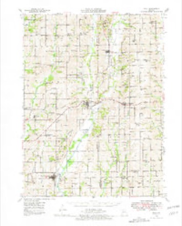
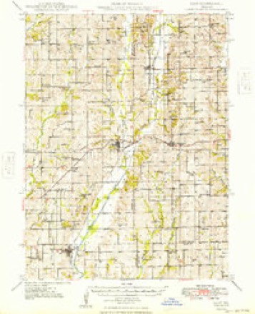
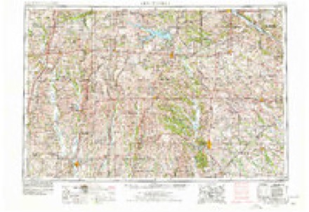
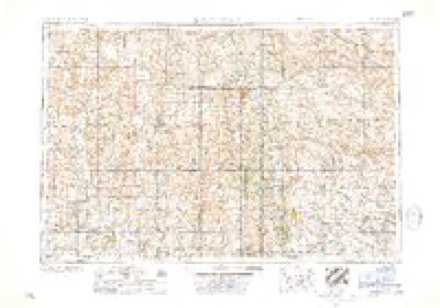
7 surveys from 10 printed sheetsMatched by testing this settlement's coordinate against the published boundary of every sheet in the United States Geological Survey's historical collection. Each opens the scanned sheet at the Survey.
- 1946 USGS Galt quadrangle1:62500
- 1949 USGS Galt quadrangle1:62500, 2 printings
- 1954 USGS Centerville quadrangle1:250000, 3 printings
- 1957 USGS Centerville quadrangle1:250000
- 1958 USGS Centerville quadrangle1:250000
- 1981 USGS Trenton quadrangle1:100000
- 1984 USGS Laredo quadrangle1:24000
What happened here
An account from the chapter on Wilson township. The inset identifies its exact source book and publication year.
Tragic Events
On the 2d day of November, 1860, occurred a death, the sad circumstances of which left their impress on the surrounding community for many years afterward. At the date ^Iven Mrs. Sarah S. Bo vers, a verv estimable lady, committed suicide by drowning. Domestic troubles caused unhappiness in her home, and without saying a word to any one ot^lier terrible purpose she hurried away and threw herself into the murky waters of Medicine River, near the south line of Marion township.
In the county-history sources
7,553 words on this townshipThe History of Grundy County, Missouri : an Encyclopedia of Useful Information, and a Compendium of Actual Facts. It Contains a Condensed History of the State of Missouri and Its Chief Cities ... ; Its Pioneer Record, War History, Resources, Biographical Sketches, published 1881 has no passage naming this settlement, which was common for smaller places. Its township is covered in full.
The chapter on Wilson Township covers early settlement, silken bonds, into the world, and out, schools and churches, first universalist church, organization.
Read the chapter on Wilson Township - 7,553 words.
Mines and quarries near this place
1 within 5 milesRegional context, not property-specific evidence. The federal mineral resources record lists 1 working within 5 miles of Laredo: 1 past producer. None of them still produces. What was taken out: Stone, Crushed/Broken. Distance is straight-line from the map coordinates, so a quarry counted here may appear on a neighbouring settlement's page as well.
| Where | Site | Commodity | Status | Recorded |
|---|---|---|---|---|
| Unk | Stone, Crushed/Broken | Past Producer |
Storms near this place
30 since 1994Regional context, not property-specific evidence. The National Weather Service names Laredo in 30 storm reports between 1994 and 2025: 16 hail, 11 thunderstorm wind, 2 flash flood, 1 tornado. No death or injury is recorded in these reports. Each account below is quoted exactly as the forecast office filed it, from the NOAA Storm Events Database, and each date opens the federal record of that event.
| When | Event | Place named | Harm | What the report says |
|---|---|---|---|---|
| June 1999 | Thunderstorm Wind | Laredo | $15,000 | Power lines and poles were downed by thunderstorm winds. |
| March 2012 | Thunderstorm Wind | Laredo | $3,000 | Thunderstorm wind gusts estimated up to 70 mph, destroyed several sheds and snapped several trees off. |
| April 2010 | Thunderstorm Wind | Laredo | $1,000 | An abandoned mobile home had a roof blown off, with debris scattered about 100 yards. Several tree limbs were snapped off. |
| March 2025 | Thunderstorm Wind | Laredo | - | Damage to garage. |
| June 2024 | Thunderstorm Wind | Laredo | - | Downed wires and power outages in Laredo. |
| June 2022 | Thunderstorm Wind | Laredo | - | Several two to three foot diameter trees were brought down by 60 to 70 mph wind. |
| June 2021 | Tornado (EF1) | Laredo | - | Another QLCS tornado formed within a squall line across Grundy County. Local emergency management conducted the survey and came across several barns heavily damaged along the path, with the most significant damage coming near JJ and E, where two grain bins were caved in and moved off their foundation. |
| June 2019 | Flash Flood | Laredo | - | After several inches of rain fell across the region several roads near Laredo was washed out. |
| September 2019 | Thunderstorm Wind | Laredo | - | Emergency Management in Grundy County reported several large trees down between Laredo and Trenton. The trees were described as 6 to 12 inches in diameter and healthy. |
| July 2017 | Flash Flood | Laredo | - | Several feet of water was running over Route V east of Laredo. |
| April 2014 | Thunderstorm Wind | Laredo | - | Ten inch diameter tree limbs down. |
| June 2014 | Thunderstorm Wind | Laredo | - | Several barns damaged with numerous tree limbs down. |
| June 2011 | Thunderstorm Wind | Laredo | - | Thunderstorm wind gusts were estimated up to 70 mph. |
| August 2000 | Thunderstorm Wind | Laredo | - | Trees and limbs were downed, and two grain bins were blown down. |
| May 1997 | Hail | Laredo | - | A Trenton radio station reported that hail an inch in diameter fell during a severe thunderstorm in Laredo. |
| May 1994 | Hail | Laredo | - | Nickel-size hail was reported. |
| June 2019 | Hail | Laredo | - | no account filed |
| June 2018 | Hail | Laredo | - | no account filed |
| June 2015 | Hail | Laredo | - | no account filed |
| May 2014 | Hail | Laredo | - | no account filed |
| May 2014 | Hail | Laredo | - | no account filed |
| May 2013 | Hail | Laredo | - | no account filed |
| May 2013 | Hail | Laredo | - | no account filed |
| June 2011 | Hail | Laredo | - | no account filed |
| June 2010 | Hail | Laredo | - | no account filed |
| June 2009 | Hail | Laredo | - | no account filed |
| May 2008 | Hail | Laredo | - | no account filed |
| May 2001 | Hail | Laredo | - | no account filed |
| April 2000 | Hail | Laredo | - | no account filed |
| May 2000 | Hail | Laredo | - | no account filed |
Nearest settlements
The eight closest, with where each one stands in the county. Distances are straight-line, computed from the Geographic Names Information System coordinates.
Elsewhere
Matched on this settlement's Geographic Names Information System number rather than its name, so it cannot be a different place of the same name in another state.
| Wikipedia article on Laredo | An encyclopaedic summary. Its text is share-alike, so it is linked here rather than copied. |
| Wikidata item Q966205 | The structured record the population and elevation above come from. Public domain (CC0). |
Provenance
This settlement is recorded in the Geographic Names Information System as feature 720816. The sheet list is computed by point-in-boundary test against the United States Geological Survey's historical topographic inventory. Both are works of the United States government and carry no copyright under 17 U.S.C. 105.
Mines and quarries. USGS Mineral Resources Data System (MRDS) https://mrdata.usgs.gov/mrds/ A work of the United States government, no copyright under 17 U.S.C. 105.
Storms. NOAA National Centers for Environmental Information, Storm Events Database https://www.ncei.noaa.gov/stormevents/ A work of the United States government, no copyright under 17 U.S.C. 105. Narratives are quoted verbatim from the National Weather Service report and are not edited or summarised.