 Block
Centerview, Missouri
19 topographic sheets cover this place, the earliest surveyed in 1885 and the latest in 1983. It stands in Centerview Township. It lies in ZIP code area 64019. The Survey maps it on the Centerview quadrangle. 189 people lived here at the 2020 count. It stands 873 feet above sea level.
Population over time
2 figuresCenterview fell from 267 to 189 between 2010 and 2020. These are the recorded population figures Wikidata holds for this place, reached through the Geographic Names Information System number this page is keyed on rather than by name, so they belong to this place and not to another of the same name. Most are census counts, but not all are: an early figure may be a founding or settlement estimate, and an estimate published within five years of a census is left out. The change column is computed, and is left blank where more than 20 years separate a figure from the one before it, because a gap that long is not a change between two counts.
| Year | People | Change |
|---|---|---|
| 2010 | 267 | |
| 2020 | 189 | -78 (-29%) |
Topographic sheets covering this place
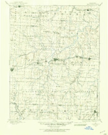
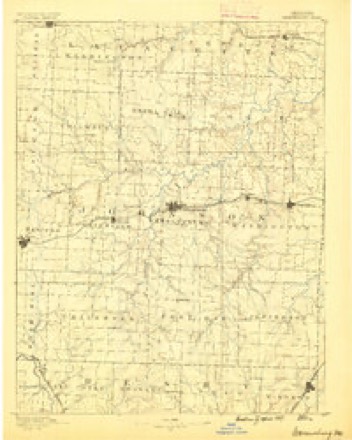
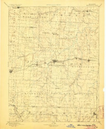
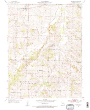
10 surveys from 19 printed sheetsMatched by testing this settlement's coordinate against the published boundary of every sheet in the United States Geological Survey's historical collection. Each opens the scanned sheet at the Survey.
- 1885 USGS Warrensburg quadrangle1:125000
- 1887 USGS Warrensburg quadrangle1:125000
- 1894 USGS Warrensburg quadrangle1:125000, 5 printings
- 1947 USGS Jefferson City quadrangle1:250000
- 1954 USGS Centerview quadrangle1:24000, 2 printings
- 1954 USGS Jefferson City quadrangle1:250000, 2 printings
- 1955 USGS Jefferson City quadrangle1:250000, 4 printings
- 1958 USGS Jefferson City quadrangle1:250000
- 1959 USGS Jefferson City quadrangle1:250000
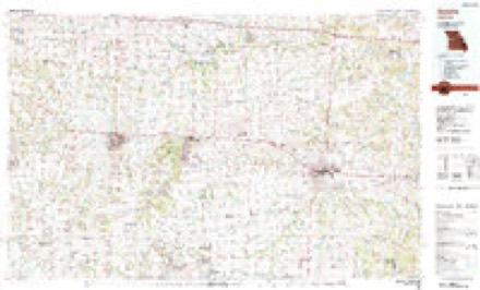
- 1983 USGS Sedalia quadrangle1:100000





In the county-history sources
12,022 words on this townshipThe History of Johnson County, Missouri : Including a Reliable History of the Townships, Cities, and Towns, Together with a Map of the County; a Condensed History of Missouri; the State Constitution; an Abstract of the Most Important Laws; the Physical Features of the County; the Early Settlers and Pioneers; the Political and War History; the Religious and Educational History...statistics and Miscellaneous Matters, Etc., Etc, published 1881 names this settlement in its chapter on Centerview Township. These are the passages that mention it, exactly as the scans read.
Accordng to the United States census for the year 1880, the town of Centerview contained a population of 227. The village is located not far from the geographical center of the township bearing the name. The first store was built by Elhanan Roop, and was occupied by Mr. R. C. Hull as a store for general merchandise. The second store was built by R. C. Hull, who occupies the same and serves as freight and telegraph office. This is quite a shipping point for cattle, hogs, and produce; many droves of cattle coming from the neighboring county of Henry. During the past year from June 1, 1880, to June 1, 1881, about 600 full car loads of stock and produce, aside from the ordinary way-freight business, have been shipped from this station in about the following ratio: 200 carloads of cattle, 200 car loads of hogs, and 200 car loads of grain and produce. The first birth in the towm was a child of George Gentry, and the first death was of this child. The first physician, Dr. J. H. Kinyoun; the first lawyer, Gordon Turner, who was also a preacher and teacher; the first teacher, George BrinkerhofF; the first church built was the Methodist Episcopal; the first preacher was Rev. W. F. Gordon.
Centerview Baptist Church. - This little band of faithful Christians was organized in the village of Centerview, May 30, 187 4, by Rev. J.W. Williams and Isaac Newcomb. Though this visible body of Christ has no church edifice, and only a score of members, yet they all are mindful of their duty and the ordinances of God's holy book. Baptists of the present day, just as they always have been, are free-hearted and liberal in their views, and tenacious of their religious belief. God will help him who helps himself, and this little struggling band of Christians will ere long experience the smiles of Providence in abundant showers of grace and material support. Among the spiritual advisers of this Zion are the names J. W. Williams and A. M. Cockrell. The names of the original members are: Dr. J. H. Kinyoun, Mrs. Mary Kavanaugh, Mrs. Nettie Dane, John Oliphant, Elena Rowland, Mrs. Hill, Mrs. James Hill, and Moses W. Steele. Dr. Kinyoun is church clerk.
Eairview M. E. Church , South. - This church is situated about three and a half miles southwest of Centerview depot, in Centerview township. It was organized in 1867 by Robert Marshall, with the following original members: Moses G. Mullins, Wm. Morrison, Simon Taylor, Henry etta Burgess, Eliza Spencer, Wm. Cox, Susan Cox, Wm. Ramsey, Wm. Howard and wife, Dorotha Mullins, Kesiah Mullins, Lavina Mullins, Susan Mullins, Aby Mullins, Isaac Carmichael, and Permelia, his wife, Mary Carmichael, and Addison Little.
Machine-read from a century-old scan, so expect the errors a machine makes: misspelled names, dropped words, stray characters.
Read the whole chapter on Centerview Township - it names this place 34 more 34 times.
Fires near this place
41 since 2003Regional context, not property-specific evidence. The federal wildfire occurrence database lists 41 fires within 5 miles of Centerview between 2003 and 2020, burning about 410 acres in total. 4 started naturally. 1 was recorded as arson. Distance is straight-line from the map coordinates, so a fire counted here may appear on a neighbouring settlement's page as well.
| Reported cause | Fires |
|---|---|
| Missing data/not specified/undetermined | 17 |
| Debris and open burning | 14 |
| Natural | 4 |
| Equipment and vehicle use | 3 |
| Recreation and ceremony | 2 |
| Arson/incendiarism | 1 |
The most recent of them, most recent first, with the day each was reported and the service that recorded it.
| Date | Cause | Size | Reported by | Name on the report |
|---|---|---|---|---|
| 25 September 2003 | Debris and open burning | under an acre | Missouri State Fire Marshal's Office | not named |
| 19 September 2003 | Missing data/not specified/undetermined | under an acre | Missouri State Fire Marshal's Office | not named |
| 26 August 2003 | Equipment and vehicle use | under an acre | Missouri State Fire Marshal's Office | not named |
| 26 August 2003 | Debris and open burning | under an acre | Missouri State Fire Marshal's Office | not named |
| 25 August 2003 | Equipment and vehicle use | 10 acres | Missouri State Fire Marshal's Office | not named |
| 21 August 2003 | Missing data/not specified/undetermined | under an acre | Missouri State Fire Marshal's Office | not named |
| 16 August 2003 | Natural | under an acre | Missouri State Fire Marshal's Office | not named |
| 10 August 2003 | Recreation and ceremony | 3.0 acres | Missouri State Fire Marshal's Office | not named |
Settlements close enough to share some of these fires:
Mines and quarries near this place
4 within 5 milesRegional context, not property-specific evidence. The federal mineral resources record lists 4 workings within 5 miles of Centerview: 4 past producers. None of them still produces. What was taken out: Stone, Crushed/Broken. Distance is straight-line from the map coordinates, so a quarry counted here may appear on a neighbouring settlement's page as well.
| Where | Site | Commodity | Status | Recorded |
|---|---|---|---|---|
| Centerview Quarry | Stone, Crushed/Broken | Past Producer | ||
| Unknown - Ls. | Stone, Crushed/Broken | Past Producer | ||
| Unknown - Ls. | Stone, Crushed/Broken | Past Producer | ||
| Unknown - Ls. | Stone, Crushed/Broken | Past Producer |
Storms near this place
39 since 1995Regional context, not property-specific evidence. The National Weather Service names Centerview in 39 storm reports between 1995 and 2025: 21 thunderstorm wind, 13 hail, 2 tornado, 2 flash flood. No death or injury is recorded in these reports. Each account below is quoted exactly as the forecast office filed it, from the NOAA Storm Events Database, and each date opens the federal record of that event.
| When | Event | Place named | Harm | What the report says |
|---|---|---|---|---|
| July 1995 | Thunderstorm Wind | Centerview | $2,000 | A severe thunderstorm moved through Central Johnson County producing wind gusts up to 60 mph three miles north of Centerview knocking down large tree limbs. Numerous trees and power lines were reported down in Holden. |
| May 2003 | Tornado (F0) | Centerview | $1,000 | Brief tornado touchdown with minor damage to a fire station. |
| July 2025 | Thunderstorm Wind | Centerview | - | Downed wires near 300th Road between Holden and Centerview. |
| September 2025 | Thunderstorm Wind | Centerview | - | Multiple reports of tree damage east of Holden and southwest of Centerview. Multiple powerlines down and power outages reported as well. |
| September 2025 | Thunderstorm Wind | Centerview | - | Social media report of minor damage to a residence just west of Centerview. |
| September 2025 | Thunderstorm Wind | Centerview | - | Utility company reports multiple trees and wires down just south of Centerview. |
| September 2025 | Thunderstorm Wind | Centerview | - | Personal weather station measured 51 knot wind gust east of Holden. |
| September 2025 | Hail | Centerview | - | Social media report of up to quarter size hail damaging crops and a garden at a residence east of Holden. |
| September 2025 | Hail | Centerview | - | Mostly small hail, but some hail up to quarter size reported near Centerview. |
| September 2025 | Thunderstorm Wind | Centerview | - | Tree downed near Centerview. |
| September 2025 | Thunderstorm Wind | Centerview | - | Tree down on house in Centerview. |
| June 2024 | Thunderstorm Wind | Centerview | - | Downed power lines with outages south of Centerview. |
| December 2021 | Thunderstorm Wind | Centerview | - | NWS employee reported 60 mph winds. |
| May 2020 | Flood | Centerview | - | NWS employee reports standing water across secondary roads and significant ponding of water across farm fields between Centerview and Warrensburg. |
| July 2020 | Flash Flood | Centerview | - | A NWS employee reported running water over the intersection at County Road VV and 701st Road. |
| June 2019 | Thunderstorm Wind | Centerview | - | Off duty NWS meteorologist had a tree fall onto the house. |
| May 2019 | Thunderstorm Wind | Centerview | - | A 60 mph wind gust was reported by NWS employee. |
| March 2017 | Thunderstorm Wind | Centerview | - | A NWS employee near Centerview, Missouri reported a 60 mph wind gust. |
| May 2015 | Thunderstorm Wind | Centerview | - | Two to three inch live limb blow down with numerous dead branches blown across the yard. |
| April 2014 | Thunderstorm Wind | Centerview | - | Estimated 60 to 70 mph winds. Some shingles were lost on a roof. |
| April 2014 | Flash Flood | Centerview | - | A motorist was stranded at Highway 58 and F highway due to 3 feet of water running over the road. |
| June 2013 | Thunderstorm Wind | Centerview | - | Thunderstorm wind gusts were estimated up to 75 mph, with an 8 inch diameter tree snapped in half, and power lost. |
| June 2013 | Thunderstorm Wind | Centerview | - | Tree limbs were reported down at County Road VV. Thunderstorm wind gusts were estimated up to 60 mph. |
| August 2011 | Thunderstorm Wind | Centerview | - | A 20 inch diameter tree was blown down. Thunderstorm wind gusts were estimated up to 60 mph. |
| October 2007 | Tornado (EF0) | Centerview | - | Brief tornado touchdown at 1515 CST with no damage. |
| April 2001 | Thunderstorm Wind | Centerview | - | Emergency manager estimated wind gusts to 80 mph and one inch hail. |
| March 2020 | Hail | Centerview | - | no account filed |
| November 2020 | Hail | Centerview | - | no account filed |
| April 2015 | Hail | Centerview | - | no account filed |
| April 2015 | Hail | Centerview | - | no account filed |
| May 2013 | Hail | Centerview | - | no account filed |
| March 2006 | Thunderstorm Wind | Centerview | - | no account filed |
| September 2005 | Hail | Centerview | - | no account filed |
| April 2003 | Hail | Centerview | - | no account filed |
| March 2003 | Hail | Centerview | - | no account filed |
| May 2003 | Hail | Centerview | - | no account filed |
| May 2003 | Hail | Centerview | - | no account filed |
| May 2000 | Hail | Centerview | - | no account filed |
| August 2000 | Thunderstorm Wind | Centerview | - | no account filed |
Nearest settlements
The eight closest, with where each one stands in the county. Distances are straight-line, computed from the Geographic Names Information System coordinates.
| Map | Place | Distance | Sheets |
|---|---|---|---|
| Greendoor | 5.4 miles | 19 | |
| Warrensburg | 5.9 miles | 22 | |
| Pertle Springs | 6.1 miles | 20 | |
| Blackwater (historical) | 6.3 miles | 22 | |
| Bowmansville | 6.4 miles | 20 | |
| Holden | 8.0 miles | 18 | |
| Magnolia | 8.1 miles | 18 | |
| Columbus | 8.3 miles | 19 |
Elsewhere
Matched on this settlement's Geographic Names Information System number rather than its name, so it cannot be a different place of the same name in another state.
| Wikipedia article on Centerview | An encyclopaedic summary. Its text is share-alike, so it is linked here rather than copied. |
| Wikidata item Q2149945 | The structured record the population and elevation above come from. Public domain (CC0). |
Provenance
This settlement is recorded in the Geographic Names Information System as feature 729717. The sheet list is computed by point-in-boundary test against the United States Geological Survey's historical topographic inventory. Both are works of the United States government and carry no copyright under 17 U.S.C. 105.
Wildfire. Short, Karen C. 2022. Spatial wildfire occurrence data for the United States, 1992-2020 [FPA_FOD_20221014]. 6th Edition. Fort Collins, CO: Forest Service Research Data Archive. https://doi.org/10.2737/RDS-2013-0009.6 Collected with United States Government funding and usable without additional permissions or fees.
Mines and quarries. USGS Mineral Resources Data System (MRDS) https://mrdata.usgs.gov/mrds/ A work of the United States government, no copyright under 17 U.S.C. 105.
Storms. NOAA National Centers for Environmental Information, Storm Events Database https://www.ncei.noaa.gov/stormevents/ A work of the United States government, no copyright under 17 U.S.C. 105. Narratives are quoted verbatim from the National Weather Service report and are not edited or summarised.