 Block
Dawsonville, Missouri
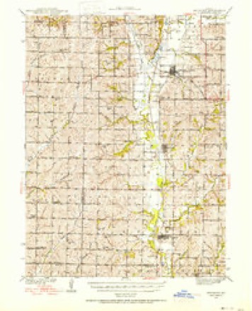
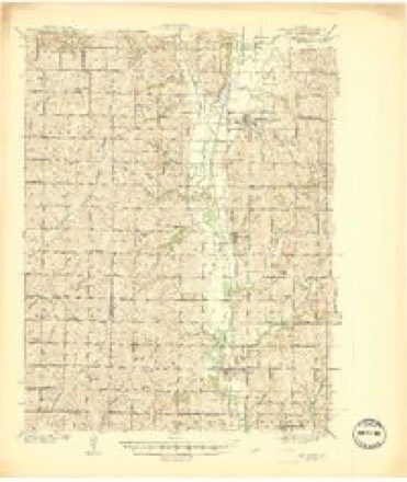
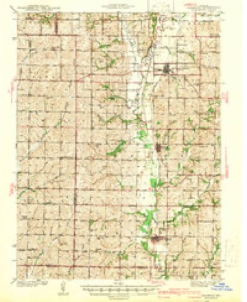
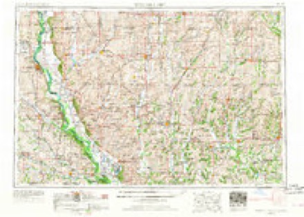
14 topographic sheets cover this place, the earliest surveyed in 1939 and the latest in 1986. It stands in Lincoln Township. It lies in ZIP code area 64428. It stands on Muddy Creek. The Survey maps it on the Burlington Junction quadrangle.
Topographic sheets covering this place
8 surveys from 14 printed sheetsMatched by testing this settlement's coordinate against the published boundary of every sheet in the United States Geological Survey's historical collection. Each opens the scanned sheet at the Survey.
- 1939 USGS Skidmore quadrangle1:62500, 3 printings
- 1941 USGS Skidmore quadrangle1:62500
- 1942 USGS Skidmore quadrangle1:62500, 2 printings
- 1955 USGS Nebraska City quadrangle1:250000, 3 printings
- 1957 USGS Nebraska City quadrangle1:250000
- 1958 USGS Nebraska City quadrangle1:250000
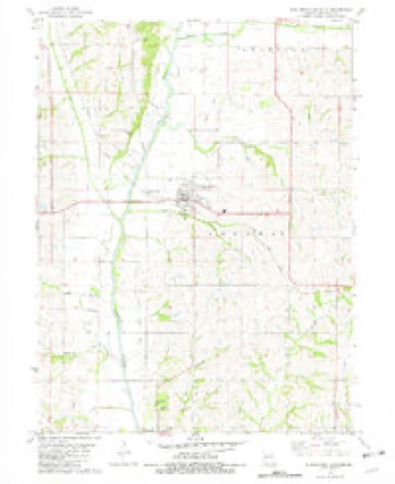
- 1981 USGS Burlington Junction quadrangle1:24000
- 1986 USGS Falls City quadrangle1:100000, 2 printings
In the county-history sources
2,240 words on this townshipPast and Present of Nodaway County, Missouri, published 1910 names this settlement in its chapter on Lincoln Township. These are the passages that mention it, exactly as the scans read.
The towns of the township of Lincoln are Dawsonville and Elmo. Dawsonville is located about two and a half miles northwest of Burlington Junc¬ tion, on section 5. township 65, range 37. The land on which it is built was originally owned by D. N. McCrea and W. M. Walker. It was named in honor of Hon. Lafe Dawson, of Maryville. For some time the citizens called the place Dawson, but the railroad company called it Dawsonville, and the postoffice was established as Dawson, hence the place is now commonly known as Dawson. The place is located within a beautiful natural grove, with the line of the Wabash railroad running through the edge of the town. In 1880 the place had a population of about one hundred and fifty, and the enumeration is now about the same. The date of its platting was December 20, 1879, and it was executed by E. A. Garvey, civil engineer for the Wabash road, who laid out the plat. The land owners gave one-third of the lots to the com¬ pany and its engineer for laying off and platting in legal form the place. The first train of cars reached Dawson September 2, 1879. Ei the same month the first business house was erected by Mr. Burnett for a general store : he received his first invoice of goods before the depot was built and landed the merchandise on the ground from the freight cars. He also had charge of the postoffice the first year after its establishment. The second building was a blacksmith shop run by Isaac Weddel and the next was a building removed from Lamar station by Alonzo Reese. A. S. Thompson then erected the first boarding house. Then followed a law office and justice of the peace head¬ quarters for D. V. McCrea, Esq. The town at once become a fine shipping point and during the years 1881-82 there were shipped from this place two hundred fifty thousand bushels of corn alone. Besides this there were two hundred cars of cattle shipped out. Less than one mile from Dawson was a fine water mill owned by H. Burnett, which was of much service to the settlers in that locality. The Nodaway was spanned by a nine-foot dam giving ex¬ cellent water power.
Passage source: Past and Present of Nodaway County, Missouri, published 1910.
Machine-read from a century-old scan, so expect the errors a machine makes: misspelled names, dropped words, stray characters.
Fires near this place
5 since 2013Regional context, not property-specific evidence. The federal wildfire occurrence database lists 5 fires within 5 miles of Dawsonville between 2013 and 2020, burning about 23 acres in total. None started naturally. None was recorded as arson. Distance is straight-line from the map coordinates, so a fire counted here may appear on a neighbouring settlement's page as well.
| Reported cause | Fires |
|---|---|
| Missing data/not specified/undetermined | 4 |
| Debris and open burning | 1 |
The most recent of them, most recent first, with the day each was reported and the service that recorded it.
| Date | Cause | Size | Reported by | Name on the report |
|---|---|---|---|---|
| 7 April 2013 | Missing data/not specified/undetermined | 20 acres | Missouri Department of Conservation | not named |
| 4 March 2020 | Missing data/not specified/undetermined | under an acre | Missouri Department of Conservation | 190156-07499-03042020-1748 |
| 3 March 2020 | Missing data/not specified/undetermined | under an acre | Missouri Department of Conservation | 190113-07499-03032020-1330 |
| 14 March 2018 | Missing data/not specified/undetermined | under an acre | Missouri Department of Conservation | 176045-07499-03142018-1912 |
| 17 February 2020 | Debris and open burning | 2.4 acres | Missouri Department of Conservation | 190112-07499-02172020-1420 |
Settlements close enough to share some of these fires:
Mines and quarries near this place
3 within 5 milesRegional context, not property-specific evidence. The federal mineral resources record lists 3 workings within 5 miles of Dawsonville: 3 past producers. None of them still produces. What was taken out: Sand and Gravel, Construction. Distance is straight-line from the map coordinates, so a quarry counted here may appear on a neighbouring settlement's page as well.
Storms near this place
4 since 2011Regional context, not property-specific evidence. The National Weather Service names Dawsonville in 4 storm reports between 2011 and 2016: 4 hail. No death or injury is recorded in these reports. Each account below is quoted exactly as the forecast office filed it, from the NOAA Storm Events Database, and each date opens the federal record of that event.
| When | Event | Place named | Harm | What the report says |
|---|---|---|---|---|
| March 2016 | Hail | Dawsonville | - | no account filed |
| March 2016 | Hail | Dawsonville | - | no account filed |
| March 2012 | Hail | Dawsonville | - | no account filed |
| April 2011 | Hail | Dawsonville | - | no account filed |
Nearest settlements
The eight closest, with where each one stands in the county. Distances are straight-line, computed from the Geographic Names Information System coordinates.
| Map | Place | Distance | Sheets |
|---|---|---|---|
| Burlington Junction | 2.2 miles | 14 | |
| Possum Walk | 2.2 miles | 14 | |
| Roseberry | 3.6 miles | 14 | |
| Elmo | 3.8 miles | 12 | |
| Clearmont | 4.7 miles | 12 | |
| Quitman | 6.4 miles | 14 | |
| Wilcox | 8.3 miles | 11 | |
| Skidmore | 12.2 miles | 14 |
Elsewhere
Matched on this settlement's Geographic Names Information System number rather than its name, so it cannot be a different place of the same name in another state.
| Wikipedia article on Dawsonville | An encyclopaedic summary. Its text is share-alike, so it is linked here rather than copied. |
| Wikidata item Q27986151 | The structured record the population and elevation above come from. Public domain (CC0). |
Provenance
This settlement is recorded in the Geographic Names Information System as feature 730082. The sheet list is computed by point-in-boundary test against the United States Geological Survey's historical topographic inventory. Both are works of the United States government and carry no copyright under 17 U.S.C. 105.
Wildfire. Short, Karen C. 2022. Spatial wildfire occurrence data for the United States, 1992-2020 [FPA_FOD_20221014]. 6th Edition. Fort Collins, CO: Forest Service Research Data Archive. https://doi.org/10.2737/RDS-2013-0009.6 Collected with United States Government funding and usable without additional permissions or fees.
Mines and quarries. USGS Mineral Resources Data System (MRDS) https://mrdata.usgs.gov/mrds/ A work of the United States government, no copyright under 17 U.S.C. 105.
Storms. NOAA National Centers for Environmental Information, Storm Events Database https://www.ncei.noaa.gov/stormevents/ A work of the United States government, no copyright under 17 U.S.C. 105. Narratives are quoted verbatim from the National Weather Service report and are not edited or summarised.