 Block
Skidmore, Missouri
14 topographic sheets cover this place, the earliest surveyed in 1939 and the latest in 1986. It stands in Monroe Township. It lies in ZIP code area 64487. It stands on Hickory Creek. The Survey maps it on the Skidmore quadrangle. 245 people lived here at the 2020 count. It stands 945 feet above sea level.
Population over time
2 figuresSkidmore fell from 284 to 245 between 2010 and 2020. These are the recorded population figures Wikidata holds for this place, reached through the Geographic Names Information System number this page is keyed on rather than by name, so they belong to this place and not to another of the same name. Most are census counts, but not all are: an early figure may be a founding or settlement estimate, and an estimate published within five years of a census is left out. The change column is computed, and is left blank where more than 20 years separate a figure from the one before it, because a gap that long is not a change between two counts.
| Year | People | Change |
|---|---|---|
| 2010 | 284 | |
| 2020 | 245 | -39 (-14%) |
Topographic sheets covering this place
8 surveys from 14 printed sheetsMatched by testing this settlement's coordinate against the published boundary of every sheet in the United States Geological Survey's historical collection. Each opens the scanned sheet at the Survey.
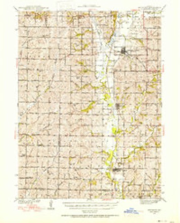
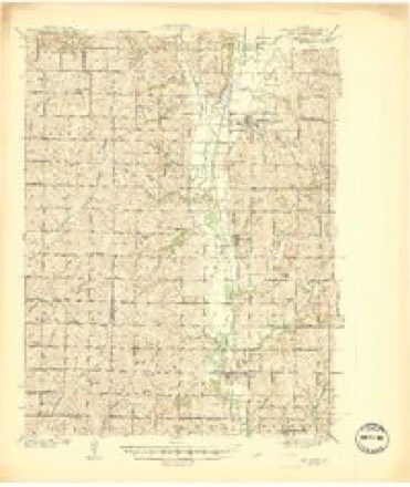
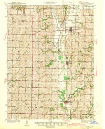
- 1939 USGS Skidmore quadrangle1:62500, 3 printings
- 1941 USGS Skidmore quadrangle1:62500
- 1942 USGS Skidmore quadrangle1:62500, 2 printings
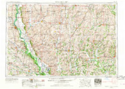
- 1955 USGS Nebraska City quadrangle1:250000, 3 printings
- 1957 USGS Nebraska City quadrangle1:250000
- 1958 USGS Nebraska City quadrangle1:250000
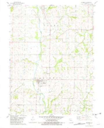
- 1981 USGS Skidmore quadrangle1:24000
- 1986 USGS Falls City quadrangle1:100000, 2 printings
In the county-history sources
14,914 words on this townshipThe History of Nodaway County, Missouri, Containing a History of the County, Its Cities, Towns, Etc., Biographical Sketches of Its Citizens, published 1882 names this settlement in its chapter on Monroe Township. These are the passages that mention it, exactly as the scans read.
County, locating in Hughes Township, where the elder Brown purchased a claim, and it was the first land broken in Nodaway County. Mr. Brown's father laid out Graham in 1855. He started out in life as a blacksmith, when at the age of eighteen years, working with James Black one year, and then with Isaac Clark for a like period. In 1849 he moved some five miles north of Graham and purchased a farm of 160 acres, and farmed in connection with blacksmithing. In 1850 he went to California by the way of Salt Lake, being on the road four months. He was engaged in mining, and in 1852 returned to Missouri by the way of San Francisco to New Orleans. He followed agricultural pursuits until the breaking out of the war in 1861, when he enlisted in Company A, in Col. Slayback's Regiment, and participated in the battles of Blue Mills and Lexington, Missouri ; Elkhorn, Arkansas ; Corinth, Atlanta and Vicksburg. At the close of the war he returned to his home in Nodaway County, Missouri, remaining a short time, and then started for Nebraska. After an absence of eighteen months he came again to Nodaway County and rented a farm for two years, when he purchased hispresent place of 254 acres of finely improved land. Mr. Brown was married February 28, 1846, to Miss P. Bohannan, who was born October 20r 1828. She died November 4, 1877, leaving seven children living : Sarah A., A. J., Elizabeth A., Zella E., Hester C, George W. and Tilmon T. Mary E, died February 20, 1874 ; Amanda J. died in October, 1852. In religious preferences he is a Cumberland Presbyterian. He is also a Mason in good standing.
Passage source: The History of Nodaway County, Missouri, Containing a History of the County, Its Cities, Towns, Etc., Biographical Sketches of Its Citizens, published 1882.
Sabitha J., Harriet, M. F., Mary, Milton, S. M., Elizabeth, Lourina, Rachel, and Joseph H. Mr. B. was married the second time on the i/th of March, 1878, to Mrs. William Rodman, whose maiden name was Margaret Roberts. She was born 1835, and is a native of Virginia. Mr. and Mrs. B. are members of the M. E. Church. Mr. B. enlisted in Company H, Eighty-ninth Regiment Illinois Volunteer Infantry, during the war and did service in all the southern states, participating in most every battle. He was discharged at the close of the war.
Passage source: The History of Nodaway County, Missouri, Containing a History of the County, Its Cities, Towns, Etc., Biographical Sketches of Its Citizens, published 1882.
After being married, he settled in Chemung County, New York, and moved to Winnebago County, Illinois, in 1862, and in 1864, to Hardin County, Iowa. In 1868, he went to Fremont County, and settled on a farm, where he now resides. The mother of A. N. was a native of Windsor, Connecticut, born March 27, 1830. Albert N. spent his boyhood days in attending school and in learning his trade. He moved to Illinois with his parents, and in 1863, returned to New York, and entered the employ of the New York & Erie Railroad, remaining two years. In 1866, he went to Sidney, Iowa, and lived there till 1869, when he opened a shop in St. Joseph, Missouri. This, with the contents, was destroyed by fire, entailing a loss of $3,500. He rebuilt, and remained in that locality till 1871. Then he moved to Fremont, Iowa; thence to Burlington Junction, Missouri, and in December, 1880, came to Skidmore. Mr L. was married July 10, 1865, to Miss Marietta Glasby, a native of New York, born in 1853. She died January 26, 1870. Of this union two children are deceased: Fred, and David. August 19, 1873, ne married Miss Martha E. Higley, a native of Knox County, Ohio, born August 4, 1856. She is a daughter' of Edwin and Catherine (Lown) Higley. By this union they have two children : Bertie and Walter. Mr. and Mrs. L. are both members of the M. E. Church.
Passage source: The History of Nodaway County, Missouri, Containing a History of the County, Its Cities, Towns, Etc., Biographical Sketches of Its Citizens, published 1882.
Machine-read from a century-old scan, so expect the errors a machine makes: misspelled names, dropped words, stray characters.
Read the whole chapter on Monroe Township - it names this place 23 more 23 times.
Mines and quarries near this place
1 within 5 milesRegional context, not property-specific evidence. The federal mineral resources record lists 1 working within 5 miles of Skidmore: 1 past producer. None of them still produces. What was taken out: Stone, Crushed/Broken. Distance is straight-line from the map coordinates, so a quarry counted here may appear on a neighbouring settlement's page as well.
| Where | Site | Commodity | Status | Recorded |
|---|---|---|---|---|
| Unk | Stone, Crushed/Broken | Past Producer |
Storms near this place
28 since 1997Regional context, not property-specific evidence. The National Weather Service names Skidmore in 28 storm reports between 1997 and 2024: 11 thunderstorm wind, 11 hail, 4 flash flood, 1 flood. No death or injury is recorded in these reports. Each account below is quoted exactly as the forecast office filed it, from the NOAA Storm Events Database, and each date opens the federal record of that event.
| When | Event | Place named | Harm | What the report says |
|---|---|---|---|---|
| July 1997 | Thunderstorm Wind | Skidmore | $750,000 | Severe thunderstorm winds gusted to 80 MPH in Skidmore. There were numerous reports of downed power lines, large trees blown over and roof damages to houses. Many of the large trees and limbs blocked roadways in Skidmore and fell on top of houses and cars. The entire population of Skidmore lost electrical power as a result of the storm. St Joseph Power and Light also reported power losses in Quitman and Graham. |
| March 2006 | Thunderstorm Wind | Skidmore | $25,000 | Several barns damaged and road signs blown down. |
| October 2024 | Thunderstorm Wind | Skidmore | - | Damage to a building and a grain bin blown down on Route DD. |
| June 2023 | Thunderstorm Wind | Skidmore | - | Wind gusts up to 60 mph were estimated southeast of Skidmore. |
| May 2023 | Hail | Skidmore | - | Golf ball sized hail was reported in Skidmore. |
| March 2017 | Tornado (EF0) | Skidmore | - | There were a couple reports of a brief tornado west of Maryville. This tornado did not impact any structures of note. |
| September 2014 | Flash Flood | Skidmore | - | Several areas across Nodaway County received several inches of rain, which led to many roads being impassible for a short time near Barnard, Skidmore, Arkoe, and Burlington Junction. |
| June 2014 | Hail | Skidmore | - | In addition to the hail, numerous trees and power lines were down. Flash flooding was also reported. |
| June 2014 | Thunderstorm Wind | Skidmore | - | Numerous trees and power lines down. |
| June 2014 | Flash Flood | Skidmore | - | Heavy rains resulted in flash flooding throughout the town. |
| June 2008 | Flood | Skidmore | - | Highway 113 was closed due to a levee break. |
| May 2007 | Flash Flood | Skidmore | - | Water was flowing over Highway V...2 miles east of Highway 113. |
| May 2007 | Thunderstorm Wind | Skidmore | - | Large trees were reported down. |
| May 2007 | Flash Flood | Skidmore | - | Water was flowing over Highway V...just west of Highway H. |
| August 2007 | Thunderstorm Wind | Skidmore | - | Thunderstorm winds estimated 60 mph. |
| August 2007 | Thunderstorm Wind | Skidmore | - | Trained spotter estimated wind gust to 60 mph. |
| June 2003 | Thunderstorm Wind | Skidmore | - | Numerous large branches down. |
| May 1998 | Hail | Skidmore | - | A cooperative observer reported golfball-size hail during a severe thunderstorm 2 miles north of Skidmore. A storm spotter reported one inch diamter hail at Conception. |
| July 1997 | Hail | Skidmore | - | One inch hail was reported by a citizen in Skidmore during a severe thunderstorm. |
| March 2016 | Hail | Skidmore | - | no account filed |
| April 2010 | Hail | Skidmore | - | no account filed |
| June 2008 | Thunderstorm Wind | Skidmore | - | no account filed |
| May 2007 | Hail | Skidmore | - | no account filed |
| August 2007 | Thunderstorm Wind | Skidmore | - | no account filed |
| May 2004 | Hail | Skidmore | - | no account filed |
| May 2004 | Hail | Skidmore | - | no account filed |
| May 2004 | Hail | Skidmore | - | no account filed |
| May 2004 | Hail | Skidmore | - | no account filed |
Nearest settlements
The eight closest, with where each one stands in the county. Distances are straight-line, computed from the Geographic Names Information System coordinates.
| Map | Place | Distance | Sheets |
|---|---|---|---|
| Quitman | 5.8 miles | 14 | |
| Graham | 6.5 miles | 11 | |
| Bell Grove | 9.0 miles | 11 | |
| Wilcox | 9.7 miles | 11 | |
| Roseberry | 10.5 miles | 14 | |
| Burlington Junction | 10.8 miles | 14 | |
| Whitecloud | 11.2 miles | 12 | |
| Maryville | 11.8 miles | 11 |
Elsewhere
Matched on this settlement's Geographic Names Information System number rather than its name, so it cannot be a different place of the same name in another state.
| Wikipedia article on Skidmore | An encyclopaedic summary. Its text is share-alike, so it is linked here rather than copied. |
| Wikidata item Q953670 | The structured record the population and elevation above come from. Public domain (CC0). |
Provenance
This settlement is recorded in the Geographic Names Information System as feature 726506. The sheet list is computed by point-in-boundary test against the United States Geological Survey's historical topographic inventory. Both are works of the United States government and carry no copyright under 17 U.S.C. 105.
Mines and quarries. USGS Mineral Resources Data System (MRDS) https://mrdata.usgs.gov/mrds/ A work of the United States government, no copyright under 17 U.S.C. 105.
Storms. NOAA National Centers for Environmental Information, Storm Events Database https://www.ncei.noaa.gov/stormevents/ A work of the United States government, no copyright under 17 U.S.C. 105. Narratives are quoted verbatim from the National Weather Service report and are not edited or summarised.