 Block
Moundville, Missouri
21 topographic sheets cover this place, the earliest surveyed in 1886 and the latest in 1991. It stands in Moundville Township. It lies in ZIP code area 64771. The Survey maps it on the Moundville quadrangle. 78 people lived here at the 2020 count. It stands 863 feet above sea level.
Population over time
2 figuresMoundville fell from 124 to 78 between 2010 and 2020. These are the recorded population figures Wikidata holds for this place, reached through the Geographic Names Information System number this page is keyed on rather than by name, so they belong to this place and not to another of the same name. Most are census counts, but not all are: an early figure may be a founding or settlement estimate, and an estimate published within five years of a census is left out. The change column is computed, and is left blank where more than 20 years separate a figure from the one before it, because a gap that long is not a change between two counts.
| Year | People | Change |
|---|---|---|
| 2010 | 124 | |
| 2020 | 78 | -46 (-37%) |
Topographic sheets covering this place
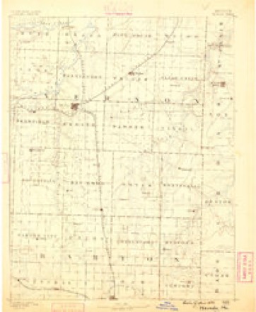
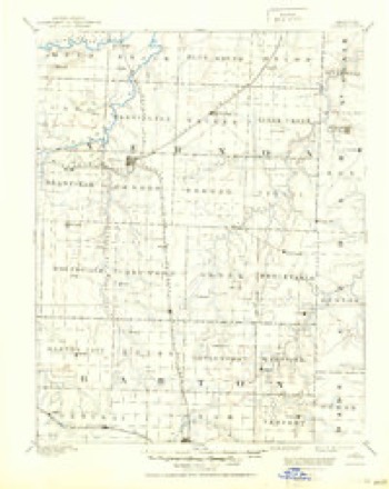
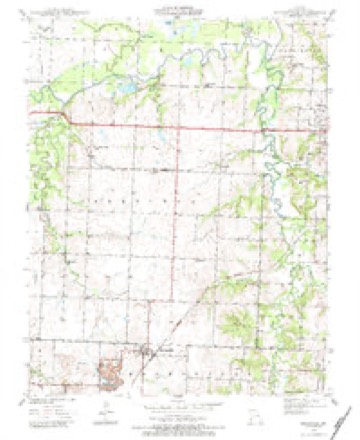
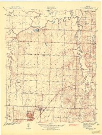
12 surveys from 21 printed sheetsMatched by testing this settlement's coordinate against the published boundary of every sheet in the United States Geological Survey's historical collection. Each opens the scanned sheet at the Survey.
- 1886 USGS Nevada quadrangle1:125000
- 1894 USGS Nevada quadrangle1:125000, 5 printings
- 1939 USGS Moundville quadrangle1:24000, 3 printings
- 1942 USGS Moundville quadrangle1:24000, 2 printings
- 1947 USGS Joplin quadrangle1:250000
- 1949 USGS Joplin quadrangle1:250000
- 1954 USGS Joplin quadrangle1:250000, 3 printings
- 1958 USGS Joplin quadrangle1:250000
- 1959 USGS Joplin quadrangle1:250000
- 1986 USGS Nevada quadrangle1:100000
- 1991 USGS Moundville quadrangle1:24000
- 1991 USGS Nevada quadrangle1:100000
What happened here
An account from the chapter on Moundville township. The inset identifies its exact source book and publication year.
The Civil War
A victim of the Civil "War - among the thousands of other vic¬ tims - was Alexander Morgan, a young man who was killed by the jayhawkers in this township in the fall of 1862. Though young Morgan had never taken up arms for either side, he was regarded as a Southern sympathizer, and the jayhawkers claimed that he was "a rebel spy." Jo Ury accused him of "packing news," and he was marked as a doomed man.
In the county-history sources
3,475 words on this townshipHistory of Vernon County, Missouri : Past and Present, Including an Account of the Cities, Towns and Villages of the County, published 1911 names this settlement in its chapter on Moundville Township. These are the passages that mention it, exactly as the scans read.
Like other portions of Vernon county, a great deal of the wealth of Moundville towmship lies under the ground: Coal! The kind of coal locally and technically known as Fort Scott coal is found in considerable quantities in the western part of the township, and nearly every land owner has his own coal bank. The mounds are full of it, too, and everywhere there is coal, easily reached, in great abundance, and good in character and quality.
Passage source: History of Vernon County, Missouri : Past and Present, Including an Account of the Cities, Towns and Villages of the County, published 1911.
One of the first land entries in Moundville township was made June 6, 1856, in section 14, by John J. Baxter, and consisted of a forty-acre tract on the west side of little Drywood, southwest northeast section 14. The first entry was by Judge James Grace, October 27, 1853, lots 5 and 6 northeast quarter, and 6 and 7 northwest quarter, section 1. J. M. Justus entered the southeast quarter of the southeast quarter section 23, February 23, 1855.
Passage source: History of Vernon County, Missouri : Past and Present, Including an Account of the Cities, Towns and Villages of the County, published 1911.
A sad case of accidental loss of life in earlv davs was long remembered by the people. An old man named James H. Barnett, who was one of the first settlers in Moundville township, was frozen to death on the 29th of March, 1844. Mr. Barnett, Judge William Hudson and Eeid Hudson had been down on Spring river and were returning home. A heavy snow storm came up and blew in their faces and it grew very cold. The party became chilled and bewildered and wandered aimlessly about over the trackless prairie waste, until at last, near the Bound Mound, in the edge of Barton county, old man Barnett lay down and froze to death.
Passage source: History of Vernon County, Missouri : Past and Present, Including an Account of the Cities, Towns and Villages of the County, published 1911.
Machine-read from a century-old scan, so expect the errors a machine makes: misspelled names, dropped words, stray characters.
Read the whole chapter on Moundville Township - it names this place 15 more 15 times.
Fires near this place
5 since 2011Regional context, not property-specific evidence. The federal wildfire occurrence database lists 5 fires within 5 miles of Moundville between 2011 and 2019, burning about 226 acres in total. None started naturally. None was recorded as arson. Distance is straight-line from the map coordinates, so a fire counted here may appear on a neighbouring settlement's page as well.
| Reported cause | Fires |
|---|---|
| Debris and open burning | 3 |
| Missing data/not specified/undetermined | 2 |
The most recent of them, most recent first, with the day each was reported and the service that recorded it.
| Date | Cause | Size | Reported by | Name on the report |
|---|---|---|---|---|
| 28 March 2015 | Debris and open burning | 3.0 acres | Missouri Department of Conservation | 122117-10867-03282015-2251 |
| 16 March 2015 | Debris and open burning | 200 acres | Missouri Department of Conservation | 122116-10867-03162015-1640 |
| 11 March 2015 | Missing data/not specified/undetermined | 1.0 acres | Missouri Department of Conservation | 122113-10867-03112015-1425 |
| 9 February 2019 | Missing data/not specified/undetermined | 1.7 acres | Missouri Department of Conservation | 178948-10846-02092019-2017 |
| 3 January 2011 | Debris and open burning | 20 acres | Missouri Department of Conservation | not named |
Settlements close enough to share some of these fires:
Mines and quarries near this place
4 within 5 milesRegional context, not property-specific evidence. The federal mineral resources record lists 4 workings within 5 miles of Moundville: 3 past producers, 1 producer. 1 still produces. What was taken out: Stone, Crushed/Broken, Clay. Distance is straight-line from the map coordinates, so a quarry counted here may appear on a neighbouring settlement's page as well.
| Where | Site | Commodity | Status | Recorded |
|---|---|---|---|---|
| Unknown - Clay | Clay | Past Producer | ||
| Gilfillian Quarry | Stone, Crushed/Broken | Past Producer | ||
| Jones Rock Co. | Stone, Crushed/Broken | Past Producer | ||
| Palmer Quarry & Mill | Stone, Crushed/Broken | Producer |
Storms near this place
14 since 1995Regional context, not property-specific evidence. The National Weather Service names Moundville in 14 storm reports between 1995 and 2025: 8 thunderstorm wind, 3 hail, 3 tornado. No death or injury is recorded in these reports. Each account below is quoted exactly as the forecast office filed it, from the NOAA Storm Events Database, and each date opens the federal record of that event.
| When | Event | Place named | Harm | What the report says |
|---|---|---|---|---|
| April 2025 | Tornado (EF1) | Moundville | $1,200,000 | A National Weather Service Storm survey determined that an EF-1 tornado touched down north of Bronaugh and tracked northeast on a route just east of a separate tornado that tracked through the Moundville area. Based upon radar, satellite imagery and ground surveys, the Bronaugh tornado caught up to the initial tornado then continued through Nevada and lifted west of Walker. In its early stages, two separate tornado debris signatures were detected by the KSGF 88D radar. Initially causing damage only to trees and barns, the tornado damaged several homes and outbuildings as it tracked toward Nevada, damaged numerous businesses as it crossed Highway 54 at Nevada. The tornado knocked over two sets of four railroad cars sitting on a side rail to the northeast of Nevada yet nearby trees only suffering limb damage. The tornado continued to damage outbuildings and barns as it tracked across open farmland before lifting near Walker. |
| April 2025 | Tornado (EF2) | Moundville | $500,000 | A NWS survey team found EF2 tornado damage to a home along Highway F to the southwest of Moundville. The tornado moved northeast damaging a few more homes along with barns and numerous trees as it tracked west and north of Moundville. A second tornado that touched down near the same time to the southeast of this path eventually tracked toward and passed the initial tornado to its east as determined by ground surveys and satellite damage imagery. This second tornado tracked into the Nevada area causing extensive damage. |
| May 2000 | Thunderstorm Wind | Moundville | $15,000 | no account filed |
| July 2016 | Thunderstorm Wind | Moundville | $10,000 | Several power lines were blown down in Moundville. A porch was torn off a mobile home southwest of Nevada. |
| May 2023 | Hail | Moundville | - | Quarter sized hail was reported. |
| May 2020 | Thunderstorm Wind | Moundville | - | A large tree was blown down along Highway 43 near Tyree Road. |
| June 2019 | Thunderstorm Wind | Moundville | - | Wind gusts were estimated up to 60 mph by the Emergency Manager. |
| May 2009 | Thunderstorm Wind | Moundville | - | Numerous trees were knocked over from thunderstorm wind gusts. |
| May 2009 | Thunderstorm Wind | Moundville | - | Thunderstorm wind gusts knocked over a few trees. |
| March 2008 | Tornado (EF0) | Moundville | - | A trained spotter witnessed a brief tornado touchdown in rural central Vernon County. |
| July 2008 | Thunderstorm Wind | Moundville | - | Thunderstorm wind gusts downed a few trees. |
| May 1995 | Thunderstorm Wind | Moundville | - | Thunderstorm winds uprooted several trees. |
| April 2015 | Hail | Moundville | - | no account filed |
| March 2007 | Hail | Moundville | - | no account filed |
Nearest settlements
The eight closest, with where each one stands in the county. Distances are straight-line, computed from the Geographic Names Information System coordinates.
Elsewhere
Matched on this settlement's Geographic Names Information System number rather than its name, so it cannot be a different place of the same name in another state.
| Wikipedia article on Moundville | An encyclopaedic summary. Its text is share-alike, so it is linked here rather than copied. |
| Wikidata item Q962906 | The structured record the population and elevation above come from. Public domain (CC0). |
Provenance
This settlement is recorded in the Geographic Names Information System as feature 729930. The sheet list is computed by point-in-boundary test against the United States Geological Survey's historical topographic inventory. Both are works of the United States government and carry no copyright under 17 U.S.C. 105.
Wildfire. Short, Karen C. 2022. Spatial wildfire occurrence data for the United States, 1992-2020 [FPA_FOD_20221014]. 6th Edition. Fort Collins, CO: Forest Service Research Data Archive. https://doi.org/10.2737/RDS-2013-0009.6 Collected with United States Government funding and usable without additional permissions or fees.
Mines and quarries. USGS Mineral Resources Data System (MRDS) https://mrdata.usgs.gov/mrds/ A work of the United States government, no copyright under 17 U.S.C. 105.
Storms. NOAA National Centers for Environmental Information, Storm Events Database https://www.ncei.noaa.gov/stormevents/ A work of the United States government, no copyright under 17 U.S.C. 105. Narratives are quoted verbatim from the National Weather Service report and are not edited or summarised.