 Block
Greenwood, Missouri
15 topographic sheets cover this place, the earliest surveyed in 1887 and the latest in 1990. It stands in Prairie Township. It lies in ZIP code area 64034. The Survey maps it on the Pleasant Hill quadrangle. 6,021 people lived here at the 2020 count. It stands 942 feet above sea level.
Population over time
2 figuresGreenwood grew from 5,221 to 6,021 between 2010 and 2020. These are the recorded population figures Wikidata holds for this place, reached through the Geographic Names Information System number this page is keyed on rather than by name, so they belong to this place and not to another of the same name. Most are census counts, but not all are: an early figure may be a founding or settlement estimate, and an estimate published within five years of a census is left out. The change column is computed, and is left blank where more than 20 years separate a figure from the one before it, because a gap that long is not a change between two counts.
| Year | People | Change |
|---|---|---|
| 2010 | 5,221 | |
| 2020 | 6,021 | +800 (+15%) |
Topographic sheets covering this place
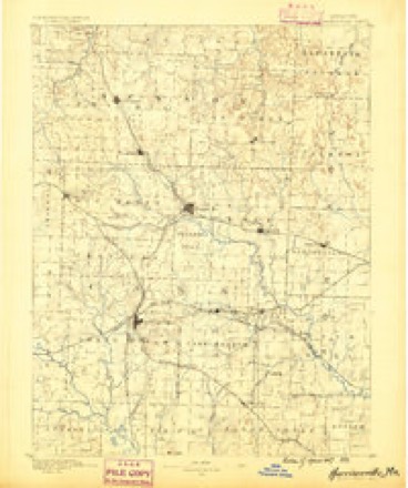
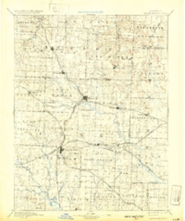
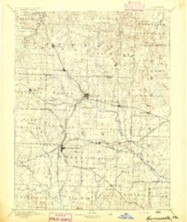
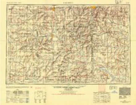
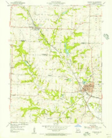
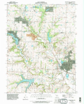
10 surveys from 15 printed sheetsMatched by testing this settlement's coordinate against the published boundary of every sheet in the United States Geological Survey's historical collection. Each opens the scanned sheet at the Survey.
- 1887 USGS Harrisonville quadrangle1:125000
- 1892 USGS Harrisonville quadrangle1:125000, 2 printings
- 1894 USGS Harrisonville quadrangle1:125000
- 1947 USGS Lawrence quadrangle1:250000
- 1950 USGS Lawrence quadrangle1:250000
- 1954 USGS Pleasant Hill quadrangle1:24000, 2 printings
- 1956 USGS Lawrence quadrangle1:250000, 4 printings
- 1961 USGS Lawrence quadrangle1:250000
- 1983 USGS Olathe quadrangle1:100000
- 1990 USGS Pleasant Hill quadrangle1:24000
In the county-history sources
3,650 words on this townshipThe History of Jackson County, Missouri, Containing a History of the County, Its Cities, Towns, Etc., Biographical Sketches of Its Citizens, Jackson County in the Late War... History of Missouri, Map of Jackson County .., published 1881 names this settlement in its chapter on Prairie Township. These are the passages that mention it, exactly as the scans read.
There are two good towns for supply points to the farmers of the township and surrounding country: Lee's Summit, the larger, and Greenwood, a beautiful little town in three quarters of a mile of the Cass county line. These two towns are situated on the main line of the Missouri Pacific Railroad, and are supported by an agricultural district which surrounds them unsurpassed in the fertility of the soil. The central portion of the township was, in the pioneer days, a vast prairie, unbroken by tree or fence, but at the present time well-cultivated farms occupy the entire territory. It is elevated ground, and is thus described by an eloquent writer :
Passage source: The History of Jackson County, Missouri, Containing a History of the County, Its Cities, Towns, Etc., Biographical Sketches of Its Citizens, Jackson County in the Late War... History of Missouri, Map of Jackson County .., published 1881.
The town of Greenwood was laid out in four sections, in sections 27, 28, 33 and 34, Tp. 47, R. 31, and the plat was filed for record on the 25th day of June, [867. It is located very near the southern limits of Jackson county, on the main line of the Missouri Pacific Railroad.
Passage source: The History of Jackson County, Missouri, Containing a History of the County, Its Cities, Towns, Etc., Biographical Sketches of Its Citizens, Jackson County in the Late War... History of Missouri, Map of Jackson County .., published 1881.
Alfred Hanscom, R. W. Price, Frank Brooks and Rev. S. G. Clark were among those who laid out the town of Greenwood. The first store was kept by a man named Wise, at present living in Holden, Johnson county. Soon after R. W. Price put up a building for business and residence. Then Thos. Hinton built an hotel, but Mr. Hinton soon after died, and the building was rented to different parties.
Passage source: The History of Jackson County, Missouri, Containing a History of the County, Its Cities, Towns, Etc., Biographical Sketches of Its Citizens, Jackson County in the Late War... History of Missouri, Map of Jackson County .., published 1881.
Machine-read from a century-old scan, so expect the errors a machine makes: misspelled names, dropped words, stray characters.
Read the whole chapter on Prairie Township - it names this place 5 more 5 times.
Fires near this place
2 since 1995Regional context, not property-specific evidence. The federal wildfire occurrence database lists 2 fires within 5 miles of Greenwood between 1995 and 2014, burning about 2 acres in total. None started naturally. None was recorded as arson. Distance is straight-line from the map coordinates, so a fire counted here may appear on a neighbouring settlement's page as well.
| Reported cause | Fires |
|---|---|
| Debris and open burning | 2 |
The most recent of them, most recent first, with the day each was reported and the service that recorded it.
| Date | Cause | Size | Reported by | Name on the report |
|---|---|---|---|---|
| 9 April 2014 | Debris and open burning | 1.0 acres | Missouri Department of Conservation | not named |
| 15 March 1995 | Debris and open burning | 1.0 acres | Missouri Department of Conservation | not named |
Settlements close enough to share some of these fires:
Mines and quarries near this place
10 of 12 shownRegional context, not property-specific evidence. The federal mineral resources record lists 12 workings within 5 miles of Greenwood: 11 past producers, 1 producer. 1 still produces. What was taken out: Stone, Crushed/Broken. Distance is straight-line from the map coordinates, so a quarry counted here may appear on a neighbouring settlement's page as well.
| Where | Site | Commodity | Status | Recorded |
|---|---|---|---|---|
| Greenwood Quarry and Mill | Stone, Crushed/Broken | Past Producer | ||
| Greenwood Quarry and Mill | Stone, Crushed/Broken | Producer | ||
| Lees Summit Quarry | Stone, Crushed/Broken | Past Producer | ||
| McKee Quarry | Stone, Crushed/Broken | Past Producer | ||
| Unknown - Ls. | Stone, Crushed/Broken | Past Producer | ||
| Unknown - Ls. | Stone, Crushed/Broken | Past Producer | ||
| Unknown - Ls. | Stone, Crushed/Broken | Past Producer | ||
| Unknown - Ls. | Stone, Crushed/Broken | Past Producer | ||
| Unknown - Ls. | Stone, Crushed/Broken | Past Producer | ||
| Unknown - Ls. | Stone, Crushed/Broken | Past Producer |
Storms near this place
38 since 1998Regional context, not property-specific evidence. The National Weather Service names Greenwood in 38 storm reports between 1998 and 2024: 17 thunderstorm wind, 16 hail, 4 flash flood, 1 heavy rain. No death or injury is recorded in these reports. Each account below is quoted exactly as the forecast office filed it, from the NOAA Storm Events Database, and each date opens the federal record of that event.
| When | Event | Place named | Harm | What the report says |
|---|---|---|---|---|
| July 2008 | Thunderstorm Wind | Greenwood | $500 | A tree of 6 inches in diamter was snapped in half, and there was minor shingle damage on a couple of houses. |
| March 2024 | Hail | Greenwood | - | Several photos on social media showing ping pong ball sized hail in Greenwood with damage to vehicles. |
| March 2024 | Hail | Greenwood | - | Photos of golf ball sized hail just east of Greenwood about 1 mile east of Ranson Road. |
| May 2024 | Thunderstorm Wind | Greenwood | - | Large tree limbs, a large wooden utility pole, and power lines downed across Missouri Route 150 just west of the intersection with Missouri Route 7. Route 150 was closed for over 48 hours before crews were able to clear the road. |
| July 2023 | Thunderstorm Wind | Greenwood | - | Medium sized tree snapped at the base. |
| July 2023 | Thunderstorm Wind | Greenwood | - | Numerous trees and tree branches down in the city of Greenwood. |
| July 2023 | Thunderstorm Wind | Greenwood | - | Estimated 60 mph winds near Lake Winnebago. |
| December 2021 | Thunderstorm Wind | Greenwood | - | NWS employee reported 60 mph wind with the line of thunderstorms that came through the city. |
| June 2020 | Thunderstorm Wind | Greenwood | - | A NWS Employee reported a 60 mph wind gust. |
| June 2020 | Thunderstorm Wind | Greenwood | - | NWS Employee reported a large tree snapped just north of Lake Winnebago in southern part of Lee's Summit. |
| June 2019 | Thunderstorm Wind | Greenwood | - | Large tree 12-18 inches in diameter was down due to thunderstorm winds. |
| July 2019 | Thunderstorm Wind | Greenwood | - | A large healthy tree was split due to strong winds. |
| October 2017 | Thunderstorm Wind | Greenwood | - | An NWS employee reported a 65 mph wind gust in Greenwood. |
| June 2015 | Thunderstorm Wind | Greenwood | - | A line of strong thunderstorms moved through Lee's Summit. An NWS empolyee reported a 70 mph wind that lasted 8 to 10 minutes and produced much tree damage across the neighborhood. |
| July 2015 | Flash Flood | Greenwood | - | Highway 291 closed between Highway 150 and Hook Rd due to high water over the highway. |
| July 2015 | Thunderstorm Wind | Greenwood | - | A one foot diameter tree was blow down. |
| June 2014 | Thunderstorm Wind | Greenwood | - | Several 5 inch tree limbs were down on the back porch of a retired NWS employee. |
| May 2012 | Flash Flood | Greenwood | - | Highway 150 at both Harbor Drive and Highway 291, was closed due to flooded roads. |
| May 2012 | Heavy Rain | Greenwood | - | A retired National Weather Service employee in Greenwood, measured 5.60 inches of rain. |
| May 2012 | Flash Flood | Greenwood | - | Two inches of rain fell in 45 minutes and was reported by retired NWS employee. Several streets were flooded and impassable. |
| June 2008 | Flash Flood | Greenwood | - | Water up to a foot in depth, was reported running across the intersection of Highway 150 and Ransom Road. |
| May 1999 | Thunderstorm Wind | Greenwood | - | Tree limbs 6 to 8 inches in diameter were reported downed along Highway 150. |
| June 1998 | Hail | Greenwood | - | Nickel to quarter-size hail was reported by off duty National Weather Service employees in Greenwood and Lees Summit. |
| June 1998 | Thunderstorm Wind | Greenwood | - | A National Weather Service employee reported a 70 MPH wind gust during a severe thunderstorm at Greenwood. Several large trees were blown down as a result of the winds. |
| July 2015 | Hail | Greenwood | - | no account filed |
| May 2012 | Hail | Greenwood | - | no account filed |
| April 2011 | Hail | Greenwood | - | no account filed |
| April 2011 | Hail | Greenwood | - | no account filed |
| July 2011 | Hail | Greenwood | - | no account filed |
| August 2009 | Hail | Greenwood | - | no account filed |
| May 2008 | Hail | Greenwood | - | no account filed |
| April 2005 | Hail | Greenwood | - | no account filed |
| July 2005 | Thunderstorm Wind | Greenwood | - | no account filed |
| March 2003 | Hail | Greenwood | - | no account filed |
| May 2002 | Hail | Greenwood | - | no account filed |
| May 2002 | Hail | Greenwood | - | no account filed |
| May 2002 | Hail | Greenwood | - | no account filed |
| May 2000 | Hail | Greenwood | - | no account filed |
Nearest settlements
The eight closest, with where each one stands in the county. Distances are straight-line, computed from the Geographic Names Information System coordinates.
| Map | Place | Distance | Sheets |
|---|---|---|---|
| South Lee | 3.1 miles | 24 | |
| Lees Summit | 4.6 miles | 24 | |
| Longview | 4.8 miles | 24 | |
| Cockrell | 6.1 miles | 18 | |
| Delavan (historical) | 6.4 miles | 16 | |
| Lake Lotawana | 7.2 miles | 18 | |
| Unity Village | 7.5 miles | 24 | |
| Vale | 8.1 miles | 24 |
Elsewhere
Matched on this settlement's Geographic Names Information System number rather than its name, so it cannot be a different place of the same name in another state.
| Wikipedia article on Greenwood | An encyclopaedic summary. Its text is share-alike, so it is linked here rather than copied. |
| Wikidata item Q3458893 | The structured record the population and elevation above come from. Public domain (CC0). |
Provenance
This settlement is recorded in the Geographic Names Information System as feature 718834. The sheet list is computed by point-in-boundary test against the United States Geological Survey's historical topographic inventory. Both are works of the United States government and carry no copyright under 17 U.S.C. 105.
Wildfire. Short, Karen C. 2022. Spatial wildfire occurrence data for the United States, 1992-2020 [FPA_FOD_20221014]. 6th Edition. Fort Collins, CO: Forest Service Research Data Archive. https://doi.org/10.2737/RDS-2013-0009.6 Collected with United States Government funding and usable without additional permissions or fees.
Mines and quarries. USGS Mineral Resources Data System (MRDS) https://mrdata.usgs.gov/mrds/ A work of the United States government, no copyright under 17 U.S.C. 105.
Storms. NOAA National Centers for Environmental Information, Storm Events Database https://www.ncei.noaa.gov/stormevents/ A work of the United States government, no copyright under 17 U.S.C. 105. Narratives are quoted verbatim from the National Weather Service report and are not edited or summarised.