 Block
Cockrell, Missouri
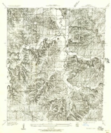
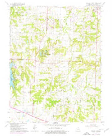
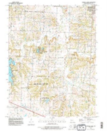
18 topographic sheets cover this place, the earliest surveyed in 1887 and the latest in 1990. It stands in Van Buren Township. It lies in ZIP code area 64086. The Survey maps it on the Tarsney Lakes quadrangle.
Topographic sheets covering this place
13 surveys from 18 printed sheetsMatched by testing this settlement's coordinate against the published boundary of every sheet in the United States Geological Survey's historical collection. Each opens the scanned sheet at the Survey.
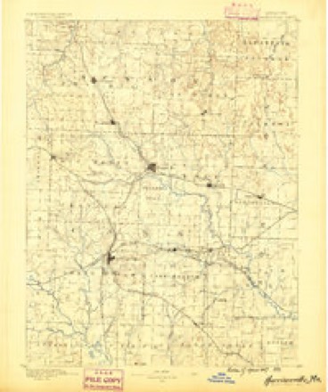
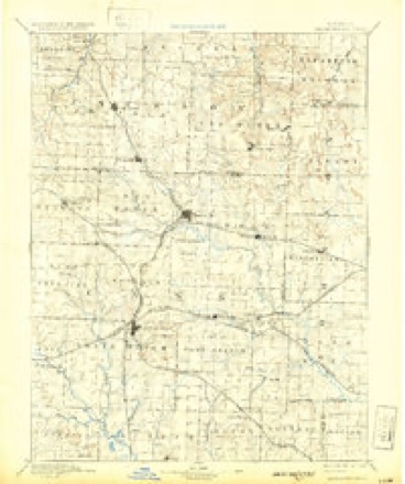
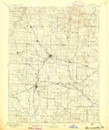
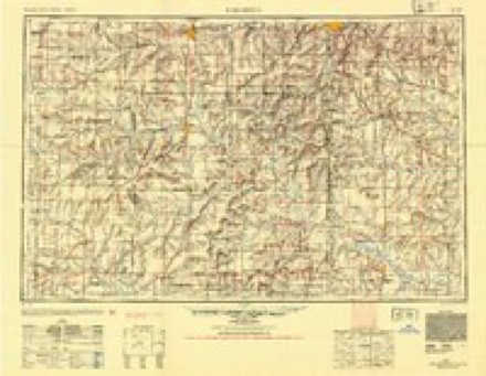
- 1887 USGS Harrisonville quadrangle1:125000
- 1892 USGS Harrisonville quadrangle1:125000, 2 printings
- 1894 USGS Harrisonville quadrangle1:125000
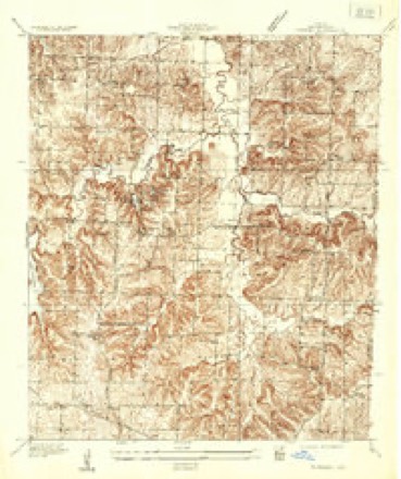
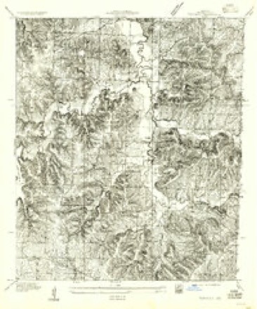
- 1935 USGS Tarsney quadrangle1:24000
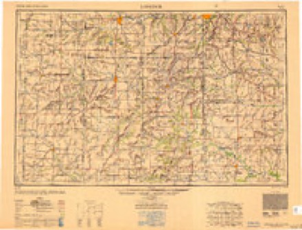
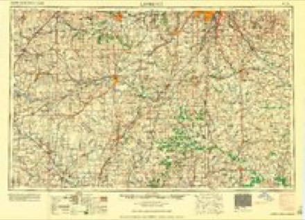
- 1947 USGS Lawrence quadrangle1:250000
- 1950 USGS Lawrence quadrangle1:250000
- 1955 USGS Tarsney quadrangle1:24000
- 1956 USGS Lawrence quadrangle1:250000, 4 printings
- 1957 USGS Tarsney quadrangle1:24000
- 1961 USGS Lawrence quadrangle1:250000
- 1965 USGS Tarsney Lakes quadrangle1:24000, 2 printings
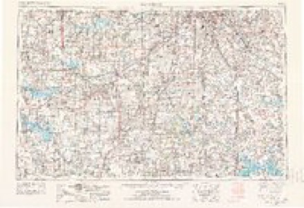
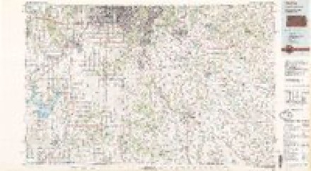
- 1983 USGS Olathe quadrangle1:100000
- 1990 USGS Tarsney Lakes quadrangle1:24000
In the county-history sources
10,490 words on this townshipThe History of Jackson County, Missouri, Containing a History of the County, Its Cities, Towns, Etc., Biographical Sketches of Its Citizens, Jackson County in the Late War... History of Missouri, Map of Jackson County .., published 1881 names this settlement in its chapter on Van Buren Township. These are the passages that mention it, exactly as the scans read.
In the winter of 1836 a Mr. Beattie built a storehouse, the first in the township. This house was built of logs, a large, roomy building, and the logs were cut on what was called the condemned land in Cass county ; that is, land not yet surveyed or brought into market, and which, it was said, had been returned as not worth surveying. The goods were brought into the house in the spring of 1837. Reuben B. Fulkerson, a brother-in-law of Senator Cockrell, was the first clerk or salesman, and he still lives a few miles from' the town in Johnson county. After Beattie had sold goods for three years, Jas. Findlay, a son-in-law of Hon. Judge John F. Ryland, sold goods in the same house until about the year 1846, when Major George W. Tate, and Col. John W. Tate, his son, succeeded him, and sold goods there until near the opening up of the great rebellion. In the meantime there were othe4- rival merchants, and in 1843 or 1844 Warham Easley laid off «ome lots and christened the newly laid off town Lone Jack, by which name it had already been known for years. The post-office, establishd'd in 1838, bore the name Lone Jack. The store was called the Lone Jack store, and the country round was called the Lone Jack neighborhood. And why? Simply on account of the solitary lone Black Jack tree that stood on that elevated ridge, dividing the waters of the Missouri from those of the Osage. That tree could be seen for miles in almost every direction, and in the early days was a noted landmark to the hunter and traveler when no roads were in the country. But the tree is gone. It died in 1861. The men, too, who first made their homes here are gone. Bridges left in 1836 or 1837, and his intimate friends soon lost sight of him altogether. He went, none knew where.
Passage source: The History of Jackson County, Missouri, Containing a History of the County, Its Cities, Towns, Etc., Biographical Sketches of Its Citizens, Jackson County in the Late War... History of Missouri, Map of Jackson County .., published 1881.
Machine-read from a century-old scan, so expect the errors a machine makes: misspelled names, dropped words, stray characters.
Mines and quarries near this place
5 within 5 milesRegional context, not property-specific evidence. The federal mineral resources record lists 5 workings within 5 miles of Cockrell: 3 past producers, 2 producers. 2 still produce. What was taken out: Stone, Crushed/Broken. Distance is straight-line from the map coordinates, so a quarry counted here may appear on a neighbouring settlement's page as well.
| Where | Site | Commodity | Status | Recorded |
|---|---|---|---|---|
| Greenwood Quarry and Mill | Stone, Crushed/Broken | Producer | ||
| Lees Summit Mine and Mill | Stone, Crushed/Broken | Producer | ||
| Unknown-Ls | Stone, Crushed/Broken | Past Producer | ||
| Unknown-Ls | Stone, Crushed/Broken | Past Producer | ||
| Unknown-Ls | Stone, Crushed/Broken | Past Producer |
Storms near this place
10 since 2009Regional context, not property-specific evidence. The National Weather Service names Cockrell in 10 storm reports between 2009 and 2025: 5 thunderstorm wind, 3 hail, 2 tornado. No death or injury is recorded in these reports. Each account below is quoted exactly as the forecast office filed it, from the NOAA Storm Events Database, and each date opens the federal record of that event.
| When | Event | Place named | Harm | What the report says |
|---|---|---|---|---|
| June 2018 | Thunderstorm Wind | Cockrell | $10,000 | Multiple power lines were down north of Highway 50 at Highway 7 due to 70-80 mph winds. |
| July 2025 | Thunderstorm Wind | Cockrell | - | Downed tree limbs and wires near Lone Jack Lees Summit Road. |
| July 2025 | Thunderstorm Wind | Cockrell | - | Downed tree limbs and wires on Perdue Road east of Lake Lotawana. |
| September 2025 | Thunderstorm Wind | Cockrell | - | Power lines downed north of Pleasant Hill. |
| September 2019 | Tornado (EF0) | Cockrell | - | In otherwise sub-severe thunderstorms a brief tornado formed near Lake Lotawana. This tornado was filmed by a nearby resident, but the tornado itself remained in open country and no damage was reported. |
| May 2019 | Tornado (EF0) | Cockrell | - | A weak and brief tornado occurred near Lake Lotawana. Other than some tree damage there was no damage reported and no injuries. |
| August 2016 | Thunderstorm Wind | Cockrell | - | A National Weather Service employee reported 65 mph winds with some small branches down. |
| March 2022 | Hail | Cockrell | - | no account filed |
| March 2017 | Hail | Cockrell | - | no account filed |
| June 2009 | Hail | Cockrell | - | no account filed |
Nearest settlements
The eight closest, with where each one stands in the county. Distances are straight-line, computed from the Geographic Names Information System coordinates.
| Map | Place | Distance | Sheets |
|---|---|---|---|
| Lake Lotawana | 2.6 miles | 18 | |
| Lone Jack | 3.5 miles | 15 | |
| Tarsney | 4.0 miles | 18 | |
| Tarsney Lakes | 4.8 miles | 18 | |
| Hicks City | 6.0 miles | 13 | |
| Greenwood | 6.1 miles | 15 | |
| Sni Mills | 6.8 miles | 18 | |
| South Lee | 7.4 miles | 24 |
Provenance
This settlement is recorded in the Geographic Names Information System as feature 716060. The sheet list is computed by point-in-boundary test against the United States Geological Survey's historical topographic inventory. Both are works of the United States government and carry no copyright under 17 U.S.C. 105.
Mines and quarries. USGS Mineral Resources Data System (MRDS) https://mrdata.usgs.gov/mrds/ A work of the United States government, no copyright under 17 U.S.C. 105.
Storms. NOAA National Centers for Environmental Information, Storm Events Database https://www.ncei.noaa.gov/stormevents/ A work of the United States government, no copyright under 17 U.S.C. 105. Narratives are quoted verbatim from the National Weather Service report and are not edited or summarised.