 Block
Lake Lotawana, Missouri
18 topographic sheets cover this place, the earliest surveyed in 1887 and the latest in 1990. It stands in Van Buren Township. It lies in ZIP code area 64086. The Survey maps it on the Tarsney Lakes quadrangle. 2,310 people lived here at the 2020 count. It stands 896 feet above sea level.
Population over time
2 figuresLake Lotawana grew from 1,939 to 2,310 between 2010 and 2020. These are the recorded population figures Wikidata holds for this place, reached through the Geographic Names Information System number this page is keyed on rather than by name, so they belong to this place and not to another of the same name. Most are census counts, but not all are: an early figure may be a founding or settlement estimate, and an estimate published within five years of a census is left out. The change column is computed, and is left blank where more than 20 years separate a figure from the one before it, because a gap that long is not a change between two counts.
| Year | People | Change |
|---|---|---|
| 2010 | 1,939 | |
| 2020 | 2,310 | +371 (+19%) |
Topographic sheets covering this place
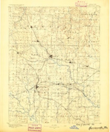
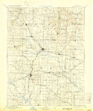
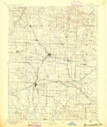
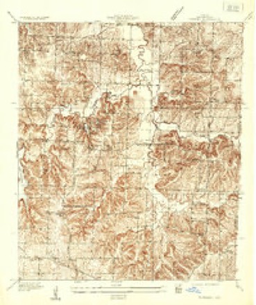
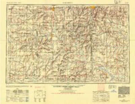
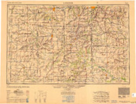
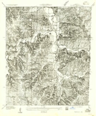
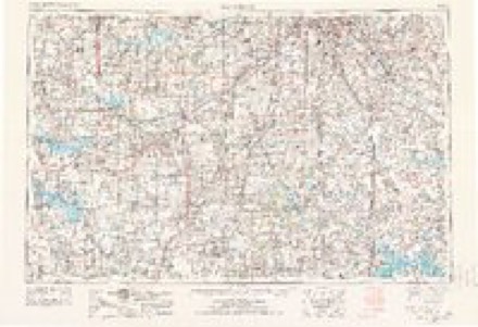
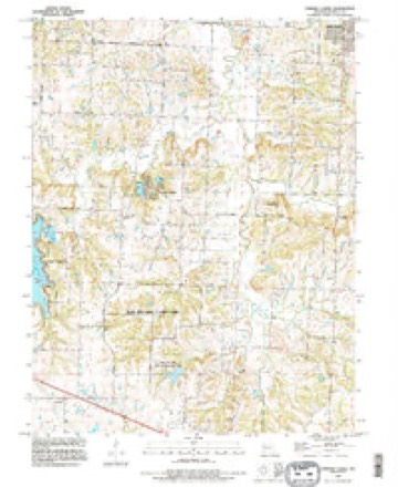
13 surveys from 18 printed sheetsMatched by testing this settlement's coordinate against the published boundary of every sheet in the United States Geological Survey's historical collection. Each opens the scanned sheet at the Survey.
- 1887 USGS Harrisonville quadrangle1:125000
- 1892 USGS Harrisonville quadrangle1:125000, 2 printings
- 1894 USGS Harrisonville quadrangle1:125000
- 1935 USGS Tarsney quadrangle1:24000
- 1947 USGS Lawrence quadrangle1:250000
- 1950 USGS Lawrence quadrangle1:250000
- 1955 USGS Tarsney quadrangle1:24000
- 1956 USGS Lawrence quadrangle1:250000, 4 printings
- 1957 USGS Tarsney quadrangle1:24000
- 1961 USGS Lawrence quadrangle1:250000
- 1965 USGS Tarsney Lakes quadrangle1:24000, 2 printings
- 1983 USGS Olathe quadrangle1:100000
- 1990 USGS Tarsney Lakes quadrangle1:24000
In the county-history sources
10,490 words on this townshipThe History of Jackson County, Missouri, Containing a History of the County, Its Cities, Towns, Etc., Biographical Sketches of Its Citizens, Jackson County in the Late War... History of Missouri, Map of Jackson County .., published 1881 has no passage naming this settlement, which was common for smaller places. Its township is covered in full.
The chapter on Van Buren Township covers the township.
Read the chapter on Van Buren Township - 10,490 words.
Mines and quarries near this place
6 within 5 milesRegional context, not property-specific evidence. The federal mineral resources record lists 6 workings within 5 miles of Lake Lotawana: 5 past producers, 1 producer. 1 still produces. What was taken out: Stone, Crushed/Broken. Distance is straight-line from the map coordinates, so a quarry counted here may appear on a neighbouring settlement's page as well.
| Where | Site | Commodity | Status | Recorded |
|---|---|---|---|---|
| Lees Summit Mine and Mill | Stone, Crushed/Broken | Producer | ||
| Unknown-Ls | Stone, Crushed/Broken | Past Producer | ||
| Unknown-Ls | Stone, Crushed/Broken | Past Producer | ||
| Unknown-Ls | Stone, Crushed/Broken | Past Producer | ||
| Unknown-Ls | Stone, Crushed/Broken | Past Producer | ||
| Unknown-Ls | Stone, Crushed/Broken | Past Producer |
Storms near this place
36 since 1995Regional context, not property-specific evidence. The National Weather Service names Lake Lotawana in 36 storm reports between 1995 and 2024: 18 thunderstorm wind, 9 hail, 6 flash flood, 2 tornado. No death or injury is recorded in these reports. Each account below is quoted exactly as the forecast office filed it, from the NOAA Storm Events Database, and each date opens the federal record of that event.
| When | Event | Place named | Harm | What the report says |
|---|---|---|---|---|
| June 2018 | Tornado (EF0) | Lake Lotawana | $150,000 | On the evening of June 26 a line of storms pushed through the Kansas City Metro area. As these storms exited the metro they produced a tornado that impacted the Lake Lotawana area. The extent of the damage was to trees, as well as to vehicles and lakeside docks and boats. No one was injured by the EF-0 tornado. |
| June 2018 | Thunderstorm Wind | Lake Lotawana | $30,000 | A large tree fell onto a van in Lee's Summit. |
| June 2010 | Flash Flood | Lake Lotawana | $10,000 | Parts of Highway 7 were washed out due to flash flooding. |
| August 2010 | Thunderstorm Wind | Lake Lotawana | $5,000 | A 15 foot tall tree with a 6 to 7 inch diameter trunk was blown over. Fence panels were also blown over. An outdoor fire pit was blown around. Damage also to porches,|siding, and shingles. |
| June 2013 | Thunderstorm Wind | Lake Lotawana | $2,000 | Numerous trees, large branches, and some fencing, were reported down across Legacy Wood, Winsboro, and Cantebury subdivisions in Lees Summit. Thunderstorm wind gusts were estimated up to 60 mph. |
| August 2010 | Thunderstorm Wind | Lake Lotawana | $100 | A thunderstorm wind gust was estimated up to 60 mph. A few shingles were blown off a house. |
| March 2024 | Hail | Lake Lotawana | - | Ping pong ball sized hail on the east side of Lees Summit near US Highway 50 and Blackwell Road. |
| June 2020 | Thunderstorm Wind | Lake Lotawana | - | Ham radio operator reported a four inch, nine to ten foot tall tree down near Lake Lotawana. |
| June 2020 | Thunderstorm Wind | Lake Lotawana | - | Large tree limb snapped and was laying on a fence. |
| August 2019 | Thunderstorm Wind | Lake Lotawana | - | Power lines were down near Greenwood. |
| July 2019 | Flash Flood | Lake Lotawana | - | Six to eight inches of water was flowing over Langsford Road and Windsboro Road. This area was not known to have flooded in at least 10 years per the resident. |
| July 2017 | Thunderstorm Wind | Lake Lotawana | - | A 6 inch limb was snapped off of a live, healthy tree near Highway 50 and Blackwell. |
| June 2017 | Thunderstorm Wind | Lake Lotawana | - | A 8 inch tree branch was down. |
| March 2017 | Thunderstorm Wind | Lake Lotawana | - | While surveying the tornado that hit Oak Grove there was a neighborhood just south of the track of the tornadic circulation at Lake Lotawana. This damage was straight line winds, perhaps associated with a real-flank downdraft of the tornadic supercell that produced several tornadoes. The extent of the damage included some shingles off of roofs and some large tree limbs down. |
| July 2015 | Tornado (EF0) | Lake Lotawana | - | This brief tornado caused minor tree damage. Maximum winds were rated at 75 mph. |
| June 2013 | Thunderstorm Wind | Lake Lotawana | - | Thunderstorm wind gusts were estimated up to 60 mph, with a 3 to 4 inch diameter tree blown down. |
| May 2013 | Flash Flood | Lake Lotawana | - | West bound Highway 50, just east of the Todd George exit, had 6 inches of water over the roadway. Traffic was restricted, but able to go through. |
| June 2011 | Thunderstorm Wind | Lake Lotawana | - | Thunderstorm wind gusts were estimated up to 60 mph. Trees were blown down. |
| August 2010 | Thunderstorm Wind | Lake Lotawana | - | A tree was blown down. |
| August 2010 | Thunderstorm Wind | Lake Lotawana | - | A thunderstorm wind gust was estimated up to 60 mph. |
| August 2010 | Thunderstorm Wind | Lake Lotawana | - | A thunderstorm wind gust was estimated up to 60 mph. |
| June 2010 | Thunderstorm Wind | Lake Lotawana | - | Thunderstorm winds were estimated up to 65 mph. |
| June 2007 | Thunderstorm Wind | Lake Lotawana | - | Trees were downed in Lake Lotawana. |
| June 2005 | Flash Flood | Lake Lotawana | - | Water over road at intersection of Highway 7 and Colbern road. |
| July 2004 | Flash Flood | Lake Lotawana | - | Highway 7 under one foot of water due to heavy rains. |
| May 2002 | Flash Flood | Lake Lotawana | - | Highwy 7 closed due to flooding. |
| July 1997 | Flood | Lake Lotawana | - | The Lake Lotawanna police reported several inches of water build up along Colbern Road and on 7 Highway between Lake Lotawana and 50 Highway. Up to 5 inches of rain fell in less than two hours resulting in the highway flooding. |
| April 1995 | Hail | Lake Lotawana | - | Dime-size hail was covering the ground from Highway 50, north to Lake Lotawana, piled in drifts six inches deep. |
| July 2018 | Hail | Lake Lotawana | - | no account filed |
| April 2016 | Hail | Lake Lotawana | - | no account filed |
| June 2011 | Hail | Lake Lotawana | - | no account filed |
| June 2011 | Hail | Lake Lotawana | - | no account filed |
| April 2011 | Hail | Lake Lotawana | - | no account filed |
| April 2011 | Hail | Lake Lotawana | - | no account filed |
| June 2008 | Hail | Lake Lotawana | - | no account filed |
| August 2001 | Thunderstorm Wind | Lake Lotawana | - | no account filed |
Nearest settlements
The eight closest, with where each one stands in the county. Distances are straight-line, computed from the Geographic Names Information System coordinates.
| Map | Place | Distance | Sheets |
|---|---|---|---|
| Tarsney | 2.0 miles | 18 | |
| Cockrell | 2.6 miles | 18 | |
| Tarsney Lakes | 2.8 miles | 18 | |
| Lone Jack | 5.2 miles | 15 | |
| Sni Mills | 6.0 miles | 18 | |
| Blue Springs | 6.8 miles | 23 | |
| Grain Valley | 6.8 miles | 21 | |
| Hicks City | 6.9 miles | 13 |
Elsewhere
Matched on this settlement's Geographic Names Information System number rather than its name, so it cannot be a different place of the same name in another state.
| Wikipedia article on Lake Lotawana | An encyclopaedic summary. Its text is share-alike, so it is linked here rather than copied. |
| Wikidata item Q953050 | The structured record the population and elevation above come from. Public domain (CC0). |
Provenance
This settlement is recorded in the Geographic Names Information System as feature 720753. The sheet list is computed by point-in-boundary test against the United States Geological Survey's historical topographic inventory. Both are works of the United States government and carry no copyright under 17 U.S.C. 105.
Mines and quarries. USGS Mineral Resources Data System (MRDS) https://mrdata.usgs.gov/mrds/ A work of the United States government, no copyright under 17 U.S.C. 105.
Storms. NOAA National Centers for Environmental Information, Storm Events Database https://www.ncei.noaa.gov/stormevents/ A work of the United States government, no copyright under 17 U.S.C. 105. Narratives are quoted verbatim from the National Weather Service report and are not edited or summarised.