 Block
Plymouth, Missouri
15 topographic sheets cover this place, the earliest surveyed in 1924 and the latest in 1981. It stands in Washington Township. It lies in ZIP code area 64624. It lies near Low Gap Valley. The Survey maps it on the Plymouth quadrangle. It stands 804 feet above sea level.
Topographic sheets covering this place
8 surveys from 15 printed sheetsMatched by testing this settlement's coordinate against the published boundary of every sheet in the United States Geological Survey's historical collection. Each opens the scanned sheet at the Survey.
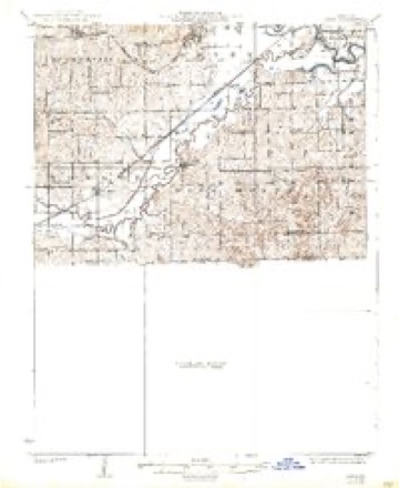
- 1924 USGS Dawn quadrangle1:62500, 4 printings
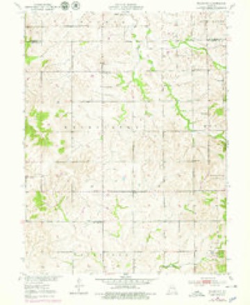
- 1950 USGS Plymouth quadrangle1:24000, 3 printings
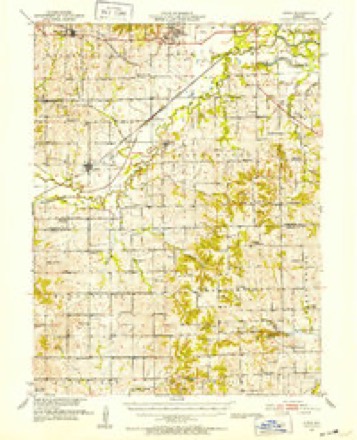
- 1951 USGS Utica quadrangle1:62500
- 1953 USGS Moberly quadrangle1:250000
- 1954 USGS Moberly quadrangle1:250000, 3 printings
- 1957 USGS Moberly quadrangle1:250000
- 1960 USGS Moberly quadrangle1:250000
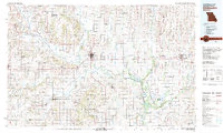
- 1981 USGS Chillicothe quadrangle1:100000




In the county-history sources
4,669 words on this townshipHistory of Carroll County, Missouri : Carefully Written and Compiled from the Most Authentic Official and Private Sources, Including a History of Its Townships, Cities, Towns and Villages, Together with a Condensed History of Missouri ; the Constitution of the United States, and State of Missouri ; a Military Record of Its Volunteers in Either Army of the Great Civil War ; General and Local Statistics ; Miscellany ; Reminiscences, Grave, Tragic and Humorous ; Biographical Sketches of Prominent Men and Citizens Identified with the Interests of the Country, published 1881 names this settlement in its chapter on Washington Township. These are the passages that mention it, exactly as the scans read.
The town of Plymouth is located in the south-west corner of section three, just one mile south of the line between Carroll and Livingston counties, and was founded by Jas. Fash, platted and placed on record on the 2d day of August 1881. It embraces three blocks sub-divided into twenty-six lots. It has been a post-office for several years, but until recently, had no intention to become a town. It can be made a good trading point, lying as it does in the most beautiful and one of the most fertile regions in the county. This being the only town in the Township, the citizens naturally will take pride in its prosperity and success, and lend their aid in improving and building it up.
Plymouth M. E. Church. - The name of Plymouth Church was adopted at the organization of the church in the spring of 1865, and held their service in a frame house, located on the northwest corner of section fourteen, and built in 1866. The first and original members were Jonathan and Mary Bowers, James T. Shull, Dema Shull, and Henry and R. J. Rairdon The congregation grew rapidly, and in 1874 a larger and more commod- ious house was built, being of frame, convenient and very tasty, at a cost of $2,200. The new house was formally dedicated in Februar}^ 1876, in the presence of a large and attentive audience, Kev. W. J. Martindale, presiding elder, officiating. The eloquence of the young elder made the services very solemn and impressive, and the wrapt attention of the audience was an evidence of their appreciation. From the little band of half ^ dozen congregated in 1865, grew a congregation of one hundred and fifty. In 1871 Rev. M. Bratton held a very interesting revival, and eightyone additions were made to the church, nearly all being new conversions. A sabbath school of over one hundred members meets every Sabbath.
bom Sept. 26th, 1838 in Peoria county Illinois, where he grew to manhood. In 1862 he moved to Cedar county, Iowa, where he remained 5 years engaged in farming. In 1867 he moved to Livingston county, Missouri, and after farming there for four years, he settled in Carroll county. He was married Jan. 5th, 1859 to Rebecca J. Miller of Ottawa, 111. They are the parents of nine children, Anna E., Frederick J., Franklin J., Joseph G., Samuel H., Milroy D., Harlow J., Edith C., and Eathel R. Mr. Fash is post master at Plymouth and owns a pleasantly located farm, which is well improved.
Machine-read from a century-old scan, so expect the errors a machine makes: misspelled names, dropped words, stray characters.
Read the whole chapter on Washington Township - it names this place 4 more 4 times.
Fires near this place
4 since 2002Regional context, not property-specific evidence. The federal wildfire occurrence database lists 4 fires within 5 miles of Plymouth between 2002 and 2014, burning about 262 acres in total. None started naturally. None was recorded as arson. Distance is straight-line from the map coordinates, so a fire counted here may appear on a neighbouring settlement's page as well.
| Reported cause | Fires |
|---|---|
| Missing data/not specified/undetermined | 2 |
| Equipment and vehicle use | 1 |
| Smoking | 1 |
The most recent of them, most recent first, with the day each was reported and the service that recorded it.
| Date | Cause | Size | Reported by | Name on the report |
|---|---|---|---|---|
| 11 April 2014 | Missing data/not specified/undetermined | 100 acres | Missouri Department of Conservation | not named |
| 10 April 2014 | Smoking | 20 acres | Missouri Department of Conservation | not named |
| 30 March 2014 | Missing data/not specified/undetermined | 140 acres | Missouri Department of Conservation | not named |
| 13 January 2002 | Equipment and vehicle use | 2.0 acres | Missouri Department of Conservation | not named |
Settlements close enough to share some of these fires:
Mines and quarries near this place
3 within 5 milesRegional context, not property-specific evidence. The federal mineral resources record lists 3 workings within 5 miles of Plymouth: 3 past producers. None of them still produces. What was taken out: Stone, Crushed/Broken. Distance is straight-line from the map coordinates, so a quarry counted here may appear on a neighbouring settlement's page as well.
| Where | Site | Commodity | Status | Recorded |
|---|---|---|---|---|
| Unknown | Stone, Crushed/Broken | Past Producer | ||
| Unknown - Ss | Stone, Crushed/Broken | Past Producer | ||
| Washington Township Quarry | Stone, Crushed/Broken | Past Producer |
Storms near this place
7 since 1998Regional context, not property-specific evidence. The National Weather Service names Plymouth in 7 storm reports between 1998 and 2016: 3 hail, 2 flood, 1 thunderstorm wind, 1 flash flood. No death or injury is recorded in these reports. Each account below is quoted exactly as the forecast office filed it, from the NOAA Storm Events Database, and each date opens the federal record of that event.
| When | Event | Place named | Harm | What the report says |
|---|---|---|---|---|
| June 1998 | Thunderstorm Wind | Plymouth | $20,000 | A barn was destroyed by severe thunderstorm winds along County Line Rd, 8 miles southwest of Plymouth. |
| September 2016 | Flood | Plymouth | - | Route N was closed along Shoal Creek due to flooding. While the damage was largely minimal the amount of damage was unknown. |
| September 2016 | Flood | Plymouth | - | Route N east of Braymer was closed due to flooding. While the damage was largely minimal the amount of damage was unknown. |
| May 2002 | Flash Flood | Plymouth | - | Roads closed around Plymouth due to high water. |
| May 2014 | Hail | Plymouth | - | no account filed |
| June 2008 | Hail | Plymouth | - | no account filed |
| February 2007 | Hail | Plymouth | - | no account filed |
Nearest settlements
The eight closest, with where each one stands in the county. Distances are straight-line, computed from the Geographic Names Information System coordinates.
| Map | Place | Distance | Sheets |
|---|---|---|---|
| Latoh (historical) | 3.5 miles | 15 | |
| Quote | 4.1 miles | 15 | |
| Fisher (historical) | 5.6 miles | 15 | |
| Mandeville | 8.1 miles | 15 | |
| Roads | 9.0 miles | 15 | |
| Coloma | 10.5 miles | 15 | |
| Asper | 11.9 miles | 17 | |
| Judd | 12.1 miles | 15 |
Elsewhere
Matched on this settlement's Geographic Names Information System number rather than its name, so it cannot be a different place of the same name in another state.
| Wikipedia article on Plymouth | An encyclopaedic summary. Its text is share-alike, so it is linked here rather than copied. |
| Wikidata item Q7205742 | The structured record the population and elevation above come from. Public domain (CC0). |
Provenance
This settlement is recorded in the Geographic Names Information System as feature 724677. The sheet list is computed by point-in-boundary test against the United States Geological Survey's historical topographic inventory. Both are works of the United States government and carry no copyright under 17 U.S.C. 105.
Wildfire. Short, Karen C. 2022. Spatial wildfire occurrence data for the United States, 1992-2020 [FPA_FOD_20221014]. 6th Edition. Fort Collins, CO: Forest Service Research Data Archive. https://doi.org/10.2737/RDS-2013-0009.6 Collected with United States Government funding and usable without additional permissions or fees.
Mines and quarries. USGS Mineral Resources Data System (MRDS) https://mrdata.usgs.gov/mrds/ A work of the United States government, no copyright under 17 U.S.C. 105.
Storms. NOAA National Centers for Environmental Information, Storm Events Database https://www.ncei.noaa.gov/stormevents/ A work of the United States government, no copyright under 17 U.S.C. 105. Narratives are quoted verbatim from the National Weather Service report and are not edited or summarised.