 Block
Henrietta, Missouri
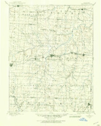
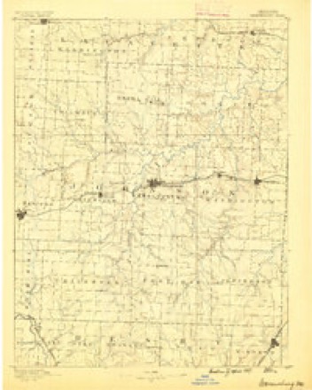
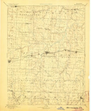
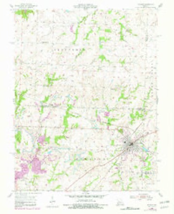
19 topographic sheets cover this place, the earliest surveyed in 1885 and the latest in 1983. It stands in Jefferson Township. It lies in ZIP code area 64761. The Survey maps it on the Windsor quadrangle.
Topographic sheets covering this place
10 surveys from 19 printed sheetsMatched by testing this settlement's coordinate against the published boundary of every sheet in the United States Geological Survey's historical collection. Each opens the scanned sheet at the Survey.
- 1885 USGS Warrensburg quadrangle1:125000
- 1887 USGS Warrensburg quadrangle1:125000
- 1894 USGS Warrensburg quadrangle1:125000, 5 printings
- 1947 USGS Jefferson City quadrangle1:250000
- 1954 USGS Jefferson City quadrangle1:250000, 2 printings
- 1955 USGS Jefferson City quadrangle1:250000, 4 printings
- 1955 USGS Windsor quadrangle1:24000, 2 printings
- 1958 USGS Jefferson City quadrangle1:250000
- 1959 USGS Jefferson City quadrangle1:250000
- 1983 USGS Sedalia quadrangle1:100000





In the county-history sources
14,319 words on this townshipThe History of Johnson County, Missouri : Including a Reliable History of the Townships, Cities, and Towns, Together with a Map of the County; a Condensed History of Missouri; the State Constitution; an Abstract of the Most Important Laws; the Physical Features of the County; the Early Settlers and Pioneers; the Political and War History; the Religious and Educational History...statistics and Miscellaneous Matters, Etc., Etc, published 1881 names this settlement in its chapter on Jefferson Township. These are the passages that mention it, exactly as the scans read.
Ella A., September 6, 1857; Emma W., April 21, 1862; Anna L., March 4r 1866. Those dead are: James A., born November 22, 1852, died February 23, 1855; Flavius O., born April 25, 1854, died February 16, 1855; Harriet E., born December 3, 1859, died July 14, 1861. The following is the married list: W. A. to Miss Alice D. Walker, February 16, 1871; Mary E. to D. L. Southerland of the same date; Sarah L., to John W. Russell, January 14, 1875. The subject of this sketch was engaged in the tobacco business up to 1860. In the late war he took the side of the south. He has held no office higher than road overseer. Of late he has been engaged in stock-raising and agricultural pursuits. His daughter, Miss Emma W., stands among the successful teachers of Johnson county. At present she is engaged in teaching the Henrietta school. Mr. Garrett has always voted the democratic ticket. In religion he is a primitive Baptist. He is truly an honest man, whose word is always good. Though plain, he is true to his convictions and beloved by his neighbors. May his offspring honor his name.
P. O. Sigel. The subject of this sketch is a native of Smith county, Tenn., and was born Jan. 18, 1844. When he was about 14 years of age, his parents moved to Pettis county, Mo. He came to Johnson county in 1866, and was married Feb. 18, 1866, to Miss Henrietta Hocker. She is a daughter of Lai kin Hocker, one of Johnson county's pioneers, They have five children living: Alvin, Jennie, Charles, John, Larkin. Mr. Feagans is a member of the Christian church. He is a man of continued industry and good habits, and now as his reward he owns a fine farm of 200 acres, under cultivation.
P. O. Knobnoster. He was born Nov. 11, 1822, the second son of Wm. and Henrietta Thornton. His father's portrait and sketch will be found elsewhere. July 18, 1855, he married Miss Elizabeth A. Wiley. One child was born, Virginia L., in Christian county, Ky., Nov. 16, 1864. She was liberally educated at Woodland public, school and Baptist Female College of Lexington, Mo. On the evening of September 27, 1881, was married to Jerome B. Greer, son of Alex Greer, when she was sixteen years of age. In 1879, he erected his elegant highland home, called "Thornton Heights," at a cost of about $3,000. The building is quite attractive and handsome, and is one of the finest in the county. Wm. G., in connection with his brother Vivian H. is doing a good business in farming and stock raising. They have some fine stock and take just pride in it. They own 1,460 acres of the best quality of agricultural land. The two brothers, in religion, follow the steps of their father, and are zealous supporters of County Line Baptist church. Mrs. Thornton is also a consistent member of that church.
Machine-read from a century-old scan, so expect the errors a machine makes: misspelled names, dropped words, stray characters.
Read the whole chapter on Jefferson Township - it names this place 1 more 1 time.
Fires near this place
30 since 2003Regional context, not property-specific evidence. The federal wildfire occurrence database lists 30 fires within 5 miles of Henrietta between 2003 and 2020, burning about 236 acres in total. None started naturally. 3 were recorded as arson. Distance is straight-line from the map coordinates, so a fire counted here may appear on a neighbouring settlement's page as well.
| Reported cause | Fires |
|---|---|
| Missing data/not specified/undetermined | 18 |
| Debris and open burning | 6 |
| Arson/incendiarism | 3 |
| Power generation/transmission/distribution | 1 |
| Recreation and ceremony | 1 |
| Equipment and vehicle use | 1 |
The most recent of them, most recent first, with the day each was reported and the service that recorded it.
| Date | Cause | Size | Reported by | Name on the report |
|---|---|---|---|---|
| 8 August 2003 | Missing data/not specified/undetermined | 10 acres | Missouri State Fire Marshal's Office | not named |
| 27 August 2003 | Debris and open burning | under an acre | Missouri State Fire Marshal's Office | not named |
| 21 August 2019 | Missing data/not specified/undetermined | under an acre | Missouri Department of Conservation | 179238-04281-08212019-1550 |
| 19 August 2003 | Missing data/not specified/undetermined | under an acre | Missouri State Fire Marshal's Office | not named |
| 18 August 2003 | Recreation and ceremony | 3.0 acres | Missouri State Fire Marshal's Office | not named |
| 12 August 2003 | Debris and open burning | 10 acres | Missouri State Fire Marshal's Office | not named |
| 11 August 2018 | Missing data/not specified/undetermined | under an acre | Missouri Department of Conservation | 177513-05130-08112018-1610 |
| 12 July 2003 | Missing data/not specified/undetermined | 2.0 acres | Missouri State Fire Marshal's Office | not named |
Settlements close enough to share some of these fires:
Mines and quarries near this place
5 within 5 milesRegional context, not property-specific evidence. The federal mineral resources record lists 5 workings within 5 miles of Henrietta: 4 past producers, 1 unknown. None of them still produces. What was taken out: Stone, Crushed/Broken, Coal, Stone, Crushed/Broken. Distance is straight-line from the map coordinates, so a quarry counted here may appear on a neighbouring settlement's page as well.
| Where | Site | Commodity | Status | Recorded |
|---|---|---|---|---|
| Cooper Mine | Coal, Stone, Crushed/Broken | Past Producer | ||
| Unknown - Ls./Coal | Coal, Stone, Crushed/Broken | Past Producer | ||
| Leeton Qsuarry | Stone, Crushed/Broken | Unknown | ||
| Unknown - Ls. | Stone, Crushed/Broken | Past Producer | ||
| Unknown - Ls. | Stone, Crushed/Broken | Past Producer |
Nearest settlements
The eight closest, with where each one stands in the county. Distances are straight-line, computed from the Geographic Names Information System coordinates.
| Map | Place | Distance | Sheets |
|---|---|---|---|
| Sutherland | 1.8 miles | 19 | |
| New Castle | 2.4 miles | 19 | |
| Leeton | 4.2 miles | 19 | |
| Burtville | 5.1 miles | 19 | |
| Owsley | 6.2 miles | 19 | |
| Cornelia | 7.0 miles | 20 | |
| Post Oak | 7.4 miles | 19 | |
| Bristle Ridge | 8.0 miles | 20 |
Elsewhere
Matched on this settlement's Geographic Names Information System number rather than its name, so it cannot be a different place of the same name in another state.
| Wikipedia article on Henrietta | An encyclopaedic summary. Its text is share-alike, so it is linked here rather than copied. |
| Wikidata item Q27985555 | The structured record the population and elevation above come from. Public domain (CC0). |
Provenance
This settlement is recorded in the Geographic Names Information System as feature 740275. The sheet list is computed by point-in-boundary test against the United States Geological Survey's historical topographic inventory. Both are works of the United States government and carry no copyright under 17 U.S.C. 105.
Wildfire. Short, Karen C. 2022. Spatial wildfire occurrence data for the United States, 1992-2020 [FPA_FOD_20221014]. 6th Edition. Fort Collins, CO: Forest Service Research Data Archive. https://doi.org/10.2737/RDS-2013-0009.6 Collected with United States Government funding and usable without additional permissions or fees.
Mines and quarries. USGS Mineral Resources Data System (MRDS) https://mrdata.usgs.gov/mrds/ A work of the United States government, no copyright under 17 U.S.C. 105.