 Block
Raytown, Missouri
26 topographic sheets cover this place, the earliest surveyed in 1894 and the latest in 1996. It stands in Brooking Township. It lies in ZIP code area 64133. The Survey maps it on the Independence quadrangle. 30,012 people lived here at the 2020 count. It stands 1,014 feet above sea level.
On record in Raytown
Buildings and businesses the archive holds for this place. Each opens its own page, with the source record it came from.
On the National Register 1 record
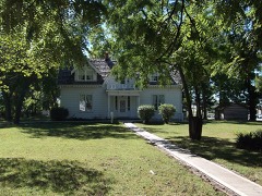 Rice-Tremonti Houselisted 1979
Population over time
2 figuresRaytown grew from 29,526 to 30,012 between 2010 and 2020. These are the recorded population figures Wikidata holds for this place, reached through the Geographic Names Information System number this page is keyed on rather than by name, so they belong to this place and not to another of the same name. Most are census counts, but not all are: an early figure may be a founding or settlement estimate, and an estimate published within five years of a census is left out. The change column is computed, and is left blank where more than 20 years separate a figure from the one before it, because a gap that long is not a change between two counts.
| Year | People | Change |
|---|---|---|
| 2010 | 29,526 | |
| 2020 | 30,012 | +486 (+2%) |
Topographic sheets covering this place
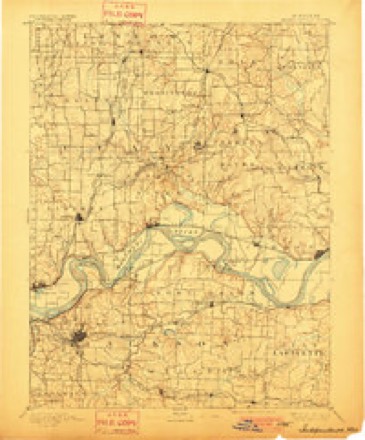
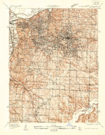
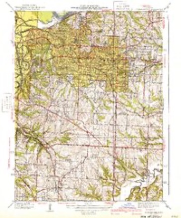
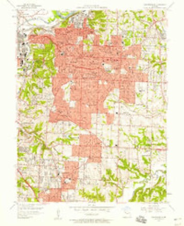
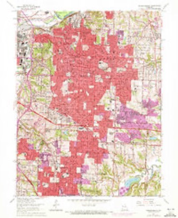
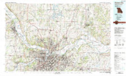
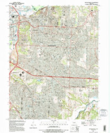
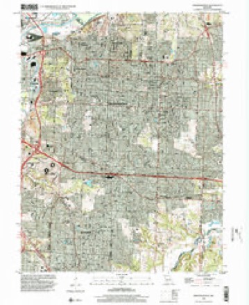
12 surveys from 26 printed sheetsMatched by testing this settlement's coordinate against the published boundary of every sheet in the United States Geological Survey's historical collection. Each opens the scanned sheet at the Survey.
- 1894 USGS Independence quadrangle1:125000, 5 printings
- 1934 USGS Independence quadrangle1:24000, 2 printings
- 1940 USGS Independence quadrangle1:31680, 2 printings
- 1950 USGS Kansas City quadrangle1:250000
- 1954 USGS Kansas City quadrangle1:250000
- 1956 USGS Kansas City quadrangle1:250000, 4 printings
- 1957 USGS Independence quadrangle1:24000
- 1960 USGS Kansas City quadrangle1:250000, 3 printings
- 1964 USGS Independence quadrangle1:24000, 4 printings
- 1983 USGS Kansas City quadrangle1:100000
- 1990 USGS Independence quadrangle1:24000
- 1996 USGS Independence quadrangle1:24000




In the county-history sources
1,807 words on this townshipThe History of Jackson County, Missouri, Containing a History of the County, Its Cities, Towns, Etc., Biographical Sketches of Its Citizens, Jackson County in the Late War... History of Missouri, Map of Jackson County .., published 1881 names this settlement in its chapter on Brooking Township. These are the passages that mention it, exactly as the scans read.
For many years education and schools did not receive that attention which their importance demands. The age in which we now live, tells to each reflecting mind, these are a part 0/ the body poliiic. But pioneer life had its charms, in roving among the wilds of nature. Education and schools did not occupy enough of their thoughts. It required an effort to build the first school house. This rude structure was about three hundred yards south of the present residence of Mr. T. W. Green. The people then called it "Science Hill." But one and another taught several good "subscription schools" there - averaging from fifty to sixty scholars. Now, within four miles .of the spot where stood "Science Hill school house," are eight or nine well organized school districts - each having a good school house ; and furnished with the latest and best patented seats, etc. Few if any of them have less than seven or eight months' school in each year. Self interest, if nothing else, will compel them in the near future to build a high school at Raytown, and perhaps also at other places. When this shall be accomplished Brooking township will be one of the most inviting localites for a country residence to be found any where in the great State of Missouri.
Passage source: The History of Jackson County, Missouri, Containing a History of the County, Its Cities, Towns, Etc., Biographical Sketches of Its Citizens, Jackson County in the Late War... History of Missouri, Map of Jackson County .., published 1881.
Brooking township has ever been the home of good, skillful physicians. Dr. Samuel Hobbs, deceased, was one of the most successful practitioners the county ever had. Dr. R. Hewitt, was also a good physician, and resided for many years in Raytown. Dr. M. T. Smith now has an extensive practice, and is a skillful physician.
Passage source: The History of Jackson County, Missouri, Containing a History of the County, Its Cities, Towns, Etc., Biographical Sketches of Its Citizens, Jackson County in the Late War... History of Missouri, Map of Jackson County .., published 1881.
Machine-read from a century-old scan, so expect the errors a machine makes: misspelled names, dropped words, stray characters.
Read the whole chapter on Brooking Township - it names this place 4 more 4 times.
Fires near this place
35 since 2007Regional context, not property-specific evidence. The federal wildfire occurrence database lists 35 fires within 5 miles of Raytown between 2007 and 2008, burning about 122 acres in total. 1 started naturally. 3 were recorded as arson. Distance is straight-line from the map coordinates, so a fire counted here may appear on a neighbouring settlement's page as well.
| Reported cause | Fires |
|---|---|
| Missing data/not specified/undetermined | 23 |
| Recreation and ceremony | 4 |
| Debris and open burning | 4 |
| Arson/incendiarism | 3 |
| Natural | 1 |
The most recent of them, most recent first, with the day each was reported and the service that recorded it.
| Date | Cause | Size | Reported by | Name on the report |
|---|---|---|---|---|
| 4 September 2007 | Missing data/not specified/undetermined | under an acre | Missouri State Fire Marshal's Office | not named |
| 27 September 2007 | Arson/incendiarism | 100 acres | Missouri State Fire Marshal's Office | not named |
| 24 September 2007 | Missing data/not specified/undetermined | under an acre | Missouri State Fire Marshal's Office | not named |
| 24 September 2007 | Missing data/not specified/undetermined | under an acre | Missouri State Fire Marshal's Office | not named |
| 2 September 2007 | Natural | under an acre | Missouri State Fire Marshal's Office | not named |
| 16 September 2007 | Missing data/not specified/undetermined | under an acre | Missouri State Fire Marshal's Office | not named |
| 16 September 2007 | Missing data/not specified/undetermined | under an acre | Missouri State Fire Marshal's Office | not named |
| 16 September 2007 | Missing data/not specified/undetermined | 1.2 acres | Missouri State Fire Marshal's Office | not named |
Settlements close enough to share some of these fires:
Mines and quarries near this place
10 of 28 shownRegional context, not property-specific evidence. The federal mineral resources record lists 28 workings within 5 miles of Raytown: 25 past producers, 3 producers. 3 still produce. What was taken out: Stone, Crushed/Broken, Clay, Sand and Gravel, Construction. Distance is straight-line from the map coordinates, so a quarry counted here may appear on a neighbouring settlement's page as well.
| Where | Site | Commodity | Status | Recorded |
|---|---|---|---|---|
| Unknown-S&G | Sand and Gravel, Construction | Past Producer | ||
| Unknow-Shale | Clay | Past Producer | ||
| Unknown-Clay | Clay | Past Producer | ||
| Beyer Mine and Mill | Stone, Crushed/Broken | Producer | ||
| Brush Creek Mine | Stone, Crushed/Broken | Past Producer | ||
| Centropolis Crusher Mine | Stone, Crushed/Broken | Producer | ||
| Kansas City Quarries | Stone, Crushed/Broken | Past Producer | ||
| Rock Acres Mine & Mill | Stone, Crushed/Broken | Producer | ||
| Strong Mine | Stone, Crushed/Broken | Past Producer | ||
| Thompson Mine | Stone, Crushed/Broken | Past Producer |
Storms near this place
42 since 1993Regional context, not property-specific evidence. The National Weather Service names Raytown in 42 storm reports between 1993 and 2025: 19 hail, 17 thunderstorm wind, 3 flash flood, 1 flood. No death or injury is recorded in these reports. Each account below is quoted exactly as the forecast office filed it, from the NOAA Storm Events Database, and each date opens the federal record of that event.
| When | Event | Place named | Harm | What the report says |
|---|---|---|---|---|
| April 1993 | Hail | Raytown | $500,000 | Large hail fell at various locations in the eastern Kansas City suburbs, including along Interstate 435, Highway 350, and near Blue Ridge Mall. Numerous car dealerships along Noland Road in Independence reported substantial damage to automobiles. Many city owned vehicles had damage, including broken windows and dents. |
| March 2000 | Thunderstorm Wind | Raytown | $25,000 | Roof damage and broken windows were reported at residences on the east side of Raytown. |
| June 2001 | Thunderstorm Wind | Raytown | $15,000 | no account filed |
| May 2007 | Heavy Rain | Raytown | $5,000 | Total rainfall since this morning has been 3.85 inches. |
| June 2025 | Thunderstorm Wind | Raytown | - | Social media report of a downed tree in the Eastwood Hills area. |
| July 2024 | Thunderstorm Wind | Raytown | - | Downed trees and wires in Raytown. |
| May 2024 | Thunderstorm Wind | Raytown | - | Social media report and photos of tree damage near Noland Road and U.S. Highway 40. |
| June 2024 | Thunderstorm Wind | Raytown | - | Downed tree limbs and wires in Raytown. |
| May 2024 | Thunderstorm Wind | Raytown | - | Trees snapped or uprooted in Raytown. |
| May 2024 | Thunderstorm Wind | Raytown | - | Several large Tree Branches down reported by the mayor. |
| May 2024 | Thunderstorm Wind | Raytown | - | Downed wires and power outages near Liberty Avenue. |
| August 2021 | Thunderstorm Wind | Raytown | - | A report via social media indicated small tree limbs down in Raytown. |
| April 2019 | Hail | Raytown | - | Quarter to golf ball sized hail fell just south of Kauffman Stadium. |
| May 2018 | Tornado (EF0) | Raytown | - | A line of severe thunderstorms produced several tornadoes, one of which impacted neighborhoods of Raytown. The extent of the damage was to large trees, some of which fell onto houses, causing some roof and structural damage. |
| July 2016 | Thunderstorm Wind | Raytown | - | An elm tree limb approximately 12 to 14 feet long came down on a home. The condition of the limb is unknown and the extent of the damage to the home is also unknown. This report was received via social media. |
| June 2015 | Thunderstorm Wind | Raytown | - | An 8 inch tree was broken along with other nearby trees. Some roof and fence damage was reported as well. |
| June 2015 | Flash Flood | Raytown | - | Water was flowing through the grass and over curbs in the KMBC studio parking lot. Report was obtained via social media. |
| April 2013 | Hail | Raytown | - | Quarter size hail was observed at 59th and Sterling. |
| June 2010 | Flash Flood | Raytown | - | Numerous intersections were reported flooded in Raytown. |
| June 2009 | Thunderstorm Wind | Raytown | - | A thunderstorm wind gust was estimated to 60 mph. |
| July 2004 | Flash Flood | Raytown | - | 75th Street east of Westridge under water. |
| April 2002 | Thunderstorm Wind | Raytown | - | Also reported nickel size hail. |
| April 1999 | Thunderstorm Wind | Raytown | - | Tree limbs downed (3-inch diameter) |
| April 1998 | Hail | Raytown | - | A spotter reported golfball-size hail in Raytown. |
| September 1993 | Hail | Raytown | - | Thunderstorm wind gusts reached 60 mph knocking down large tree limbs. One-inch hail was also reported. |
| March 2017 | Hail | Raytown | - | no account filed |
| May 2012 | Hail | Raytown | - | no account filed |
| April 2011 | Hail | Raytown | - | no account filed |
| April 2010 | Hail | Raytown | - | no account filed |
| September 2010 | Hail | Raytown | - | no account filed |
| December 2008 | Thunderstorm Wind | Raytown | - | no account filed |
| June 2008 | Hail | Raytown | - | no account filed |
| February 2007 | Hail | Raytown | - | no account filed |
| March 2006 | Hail | Raytown | - | no account filed |
| March 2006 | Hail | Raytown | - | no account filed |
| March 2006 | Hail | Raytown | - | no account filed |
| June 2005 | Thunderstorm Wind | Raytown | - | no account filed |
| August 2003 | Hail | Raytown | - | no account filed |
| February 2002 | Hail | Raytown | - | no account filed |
| April 2001 | Hail | Raytown | - | no account filed |
| March 2000 | Hail | Raytown | - | no account filed |
| August 1996 | Flood | Raytown | - | no account filed |
Nearest settlements
The eight closest, with where each one stands in the county. Distances are straight-line, computed from the Geographic Names Information System coordinates.
| Map | Place | Distance | Sheets |
|---|---|---|---|
| Eastwood | 2.9 miles | 38 | |
| Little Blue | 3.0 miles | 24 | |
| Knobtown | 3.5 miles | 24 | |
| Union Point | 4.0 miles | 24 | |
| Leeds | 4.0 miles | 38 | |
| Bryant | 4.2 miles | 27 | |
| Melville | 4.5 miles | 27 | |
| Vale | 4.7 miles | 24 |
Elsewhere
Matched on this settlement's Geographic Names Information System number rather than its name, so it cannot be a different place of the same name in another state.
| Wikipedia article on Raytown | An encyclopaedic summary. Its text is share-alike, so it is linked here rather than copied. |
| Wikidata item Q959906 | The structured record the population and elevation above come from. Public domain (CC0). |
Provenance
This settlement is recorded in the Geographic Names Information System as feature 735817. The sheet list is computed by point-in-boundary test against the United States Geological Survey's historical topographic inventory. Both are works of the United States government and carry no copyright under 17 U.S.C. 105.
Wildfire. Short, Karen C. 2022. Spatial wildfire occurrence data for the United States, 1992-2020 [FPA_FOD_20221014]. 6th Edition. Fort Collins, CO: Forest Service Research Data Archive. https://doi.org/10.2737/RDS-2013-0009.6 Collected with United States Government funding and usable without additional permissions or fees.
Mines and quarries. USGS Mineral Resources Data System (MRDS) https://mrdata.usgs.gov/mrds/ A work of the United States government, no copyright under 17 U.S.C. 105.
Storms. NOAA National Centers for Environmental Information, Storm Events Database https://www.ncei.noaa.gov/stormevents/ A work of the United States government, no copyright under 17 U.S.C. 105. Narratives are quoted verbatim from the National Weather Service report and are not edited or summarised.