 Block
Rose Hill, Missouri
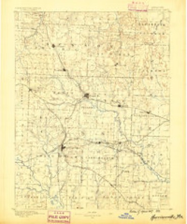
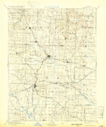
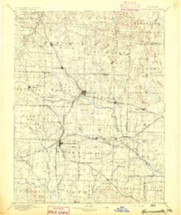
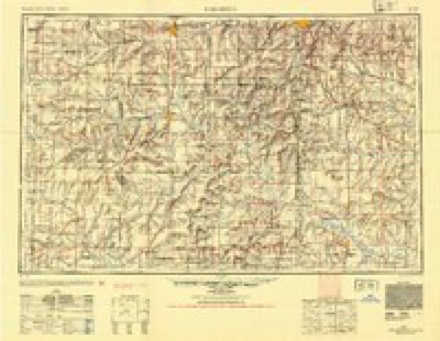
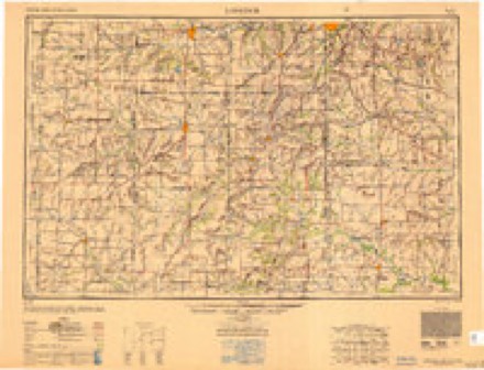
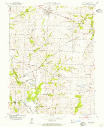
14 topographic sheets cover this place, the earliest surveyed in 1887 and the latest in 1983. It stands in Rose Hill Township. It lies in ZIP code area 64747. It stands on Camp Branch. The Survey maps it on the Kingsville quadrangle.
Topographic sheets covering this place
9 surveys from 14 printed sheetsMatched by testing this settlement's coordinate against the published boundary of every sheet in the United States Geological Survey's historical collection. Each opens the scanned sheet at the Survey.
- 1887 USGS Harrisonville quadrangle1:125000
- 1892 USGS Harrisonville quadrangle1:125000, 2 printings
- 1894 USGS Harrisonville quadrangle1:125000
- 1947 USGS Lawrence quadrangle1:250000
- 1950 USGS Lawrence quadrangle1:250000
- 1954 USGS Kingsville quadrangle1:24000, 2 printings
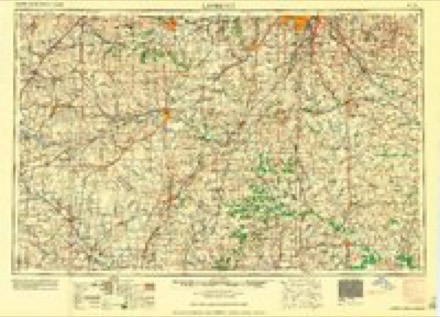
- 1956 USGS Lawrence quadrangle1:250000, 4 printings
- 1961 USGS Lawrence quadrangle1:250000
- 1983 USGS Olathe quadrangle1:100000
In the county-history sources
8,644 words on this townshipThe History of Johnson County, Missouri : Including a Reliable History of the Townships, Cities, and Towns, Together with a Map of the County; a Condensed History of Missouri; the State Constitution; an Abstract of the Most Important Laws; the Physical Features of the County; the Early Settlers and Pioneers; the Political and War History; the Religious and Educational History...statistics and Miscellaneous Matters, Etc., Etc, published 1881 names this settlement in its chapter on Rose Hill Township. These are the passages that mention it, exactly as the scans read.
Clair county, remaining there about one year; then the father moved to Johnson county, near Rose Hill, where the family still reside. Mr. Ashby received his education from the common schools of this county, complet¬ ing his business education at Kansas City. October 25, 1876, he was married to Miss Alice F. Hess, who is a daughter of Wm. F. Hess, and a native of Ohio. From this Union there are two children: Enoch R. and Martha E. 7 Mr. A., before his father's death, was engaged in merchan¬ dizing with his father. He owns a beautiful farm of 372 acres, which he has well stocked. This farm is one of the finest improved in this section of the county. E. R. Ashby, the father of J. L., was a merchant, doing business at Rose Hill, and at the time of his death was considered one of the wealthiest men in his township. He had about 1,500 acres of land in real estate.
Beard was born in Washington county, Tenn., June 22d, 1819. His advantages for an education were very limited. Schools at that early day were not common, and what opportunities the child had in those days were received from the limited subscription schools. In October, 1840, Mr. B. moved to Missouri, settling in Cass county, then called Van Buren, thence he moved to Lafayette county, where he remained one year, then in the spring of 1842 he moved to Johnson county, settling on what is called Lost Creek, three miles north of Rose Hill. He remained here until the spring of 1850, when he moved his family to California. In that State he remained for about two years; returning again to Johnson county and settling in the south-western part of the county, where he now lives. When the war came on Mr. B.'s sympathies were with the South, and he enlisted in her army, first under Colonel King, but afterwards he was transferred to Rains' division. He was in the battle of Pea Ridge and participated in a number of smaller engagements. At the close of the war he returned to his home in Johnson county, where he has since been engaged in agricultural pursuits. Mr. B. was married Feb. 15, 1842, to Miss Sallie M. Ferguson, and from this union there are three children: Sarah C., William P. and Lucy A. Mrs. Beard dying, he was again married, Oct. 8th, 1848, to Miss Susan Anderson, and from this union there were four children: Harriet J., Malissa A., Mary F. and Aria A., all of whom are living. At the November election, 1878, Mr. Beard was elected to the responsible position of county judge, and he faithfully and impartially performed the duties of this office for two years. In politics he is a Democrat of the old school, but in public matters he always was temperate and acted for the greatest good. Mr. Beard has a farm of 325 acres, well improved. He can pass the evening of his life happy and pleasantly, surrounded as he is by a most interesting family.
P. O. Holden. The subject of the following sketch is comparatively a young man, the son of W. R. Cass, and the second child in a family of ten children, only four of whom are now living. He was born in McCoupin county, Ill., April 7th, 1843, and was taken with his father's family to Sangamon county, Ill., when but eight years old, where he remained until a man. At the age of 19 he entered the Union army in Company A, 73d Illinois, and remained in the army until the close of the war. He was with the army of the Cumberland and participated in eighteen battles. He was slightly wounded at the battle of Stone River, and also at the battle of Franklin. After the battle of Stone River he was promoted to corporal, and was a member of the brigade staff for about nine months. He was mustered out of service at Camp Butler, at the close of the war. He then returned to his Illinois home and engaged in farming. In the fall of 1867 he moved to Missouri, locating in Rose Hill township, John¬ son county, and engaged in grain and stock raising. April 8th, 1875, Mr. C. was married to Miss Mary F. Bagby. They have two children. Mr. Cass owns a beautiful farm of 250 acres of the richest soil, well improved, situated south of Holden about four miles, on the beautiful rolling prairie..
Machine-read from a century-old scan, so expect the errors a machine makes: misspelled names, dropped words, stray characters.
Read the whole chapter on Rose Hill Township - it names this place 13 more 13 times.
Fires near this place
16 since 2006Regional context, not property-specific evidence. The federal wildfire occurrence database lists 16 fires within 5 miles of Rose Hill between 2006 and 2017, burning about 194 acres in total. None started naturally. None was recorded as arson. Distance is straight-line from the map coordinates, so a fire counted here may appear on a neighbouring settlement's page as well.
| Reported cause | Fires |
|---|---|
| Missing data/not specified/undetermined | 11 |
| Recreation and ceremony | 2 |
| Debris and open burning | 2 |
| Equipment and vehicle use | 1 |
The most recent of them, most recent first, with the day each was reported and the service that recorded it.
| Date | Cause | Size | Reported by | Name on the report |
|---|---|---|---|---|
| 14 September 2015 | Equipment and vehicle use | 1.0 acres | Missouri Department of Conservation | 129365-05161-09142015-1628 |
| 3 April 2016 | Missing data/not specified/undetermined | 25 acres | Missouri Department of Conservation | 135820-05161-04032016-1326 |
| 3 April 2006 | Recreation and ceremony | 5.0 acres | Missouri State Fire Marshal's Office | not named |
| 20 March 2017 | Missing data/not specified/undetermined | 5.0 acres | Missouri Department of Conservation | not named |
| 1 March 2016 | Missing data/not specified/undetermined | 25 acres | Missouri Department of Conservation | 134493-05161-03012016-0505 |
| 8 February 2015 | Missing data/not specified/undetermined | 1.0 acres | Missouri Department of Conservation | 119315-05161-02082015-1516 |
| 7 February 2016 | Missing data/not specified/undetermined | 2.0 acres | Missouri Department of Conservation | 134097-05161-02072016-2013 |
| 7 February 2016 | Missing data/not specified/undetermined | 8.0 acres | Missouri Department of Conservation | 134096-05161-02072016-2018 |
Settlements close enough to share some of these fires:
Mines and quarries near this place
3 within 5 milesRegional context, not property-specific evidence. The federal mineral resources record lists 3 workings within 5 miles of Rose Hill: 2 past producers, 1 producer. 1 still produces. What was taken out: Stone, Crushed/Broken. Distance is straight-line from the map coordinates, so a quarry counted here may appear on a neighbouring settlement's page as well.
| Where | Site | Commodity | Status | Recorded |
|---|---|---|---|---|
| Garden City Quarry | Stone, Crushed/Broken | Producer | ||
| Unknown - Ls. | Stone, Crushed/Broken | Past Producer | ||
| Unknown - Ls. | Stone, Crushed/Broken | Past Producer |
Nearest settlements
The eight closest, with where each one stands in the county. Distances are straight-line, computed from the Geographic Names Information System coordinates.
| Map | Place | Distance | Sheets |
|---|---|---|---|
| Latour | 1.8 miles | 14 | |
| Fenwick | 3.2 miles | 14 | |
| Medford | 3.5 miles | 14 | |
| Quick City | 4.2 miles | 13 | |
| Holden | 7.0 miles | 18 | |
| Denton | 7.5 miles | 18 | |
| Kingsville | 7.6 miles | 14 | |
| Magnolia | 8.2 miles | 18 |
Provenance
This settlement is recorded in the Geographic Names Information System as feature 741212. The sheet list is computed by point-in-boundary test against the United States Geological Survey's historical topographic inventory. Both are works of the United States government and carry no copyright under 17 U.S.C. 105.
Wildfire. Short, Karen C. 2022. Spatial wildfire occurrence data for the United States, 1992-2020 [FPA_FOD_20221014]. 6th Edition. Fort Collins, CO: Forest Service Research Data Archive. https://doi.org/10.2737/RDS-2013-0009.6 Collected with United States Government funding and usable without additional permissions or fees.
Mines and quarries. USGS Mineral Resources Data System (MRDS) https://mrdata.usgs.gov/mrds/ A work of the United States government, no copyright under 17 U.S.C. 105.