 Block
Kingsville, Missouri
14 topographic sheets cover this place, the earliest surveyed in 1887 and the latest in 1983. It stands in Kingsville Township. It lies in ZIP code area 64061. The Survey maps it on the Kingsville quadrangle. 245 people lived here at the 2020 count. It stands 912 feet above sea level.
Population over time
2 figuresKingsville fell from 269 to 245 between 2010 and 2020. These are the recorded population figures Wikidata holds for this place, reached through the Geographic Names Information System number this page is keyed on rather than by name, so they belong to this place and not to another of the same name. Most are census counts, but not all are: an early figure may be a founding or settlement estimate, and an estimate published within five years of a census is left out. The change column is computed, and is left blank where more than 20 years separate a figure from the one before it, because a gap that long is not a change between two counts.
| Year | People | Change |
|---|---|---|
| 2010 | 269 | |
| 2020 | 245 | -24 (-9%) |
Topographic sheets covering this place
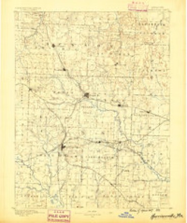
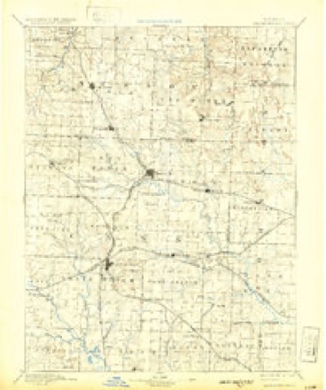
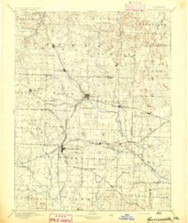
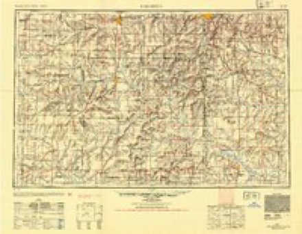
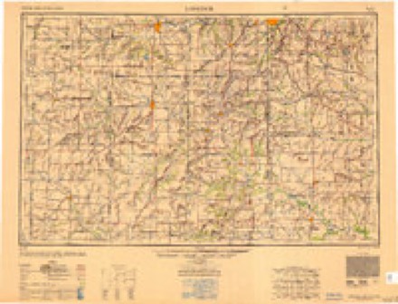
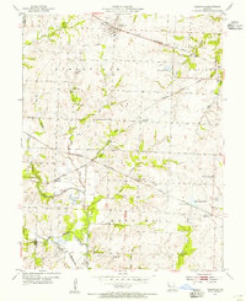
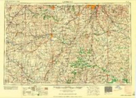
9 surveys from 14 printed sheetsMatched by testing this settlement's coordinate against the published boundary of every sheet in the United States Geological Survey's historical collection. Each opens the scanned sheet at the Survey.
- 1887 USGS Harrisonville quadrangle1:125000
- 1892 USGS Harrisonville quadrangle1:125000, 2 printings
- 1894 USGS Harrisonville quadrangle1:125000
- 1947 USGS Lawrence quadrangle1:250000
- 1950 USGS Lawrence quadrangle1:250000
- 1954 USGS Kingsville quadrangle1:24000, 2 printings
- 1956 USGS Lawrence quadrangle1:250000, 4 printings
- 1961 USGS Lawrence quadrangle1:250000
- 1983 USGS Olathe quadrangle1:100000
In the county-history sources
7,023 words on this townshipThe History of Johnson County, Missouri : Including a Reliable History of the Townships, Cities, and Towns, Together with a Map of the County; a Condensed History of Missouri; the State Constitution; an Abstract of the Most Important Laws; the Physical Features of the County; the Early Settlers and Pioneers; the Political and War History; the Religious and Educational History...statistics and Miscellaneous Matters, Etc., Etc, published 1881 names this settlement in its chapter on Kingsville Township. These are the passages that mention it, exactly as the scans read.
The village of Kingsville was laid out in 1856 by Gen. Wm. King, whose name the village now honors. Gen. King built the first house, in 1853; Samuel Bolejack followed. Rufus King had built a dwelling, at that time, on the prairie, some distance away, in 1851. The village is located in four sections and four different congressional townships - sec¬ tions 6,13,1 and 36; townships, 45, 46; ranges 28,29. The Missouri Pacific Railroad passes through the northern part, in a northwest direc¬ tion. It is situated on a high, rolling prairie, forming the summit of the divide between the tributaries of Blackwater and Big Creek. The houses, which number about fifty, including some farm dwellings, jutting close to the village, are all frame buildings, and they are built upon the cheap plan for utility. The better residences are those of John R. French, R. King, Geo. Johnston, G. W. King and D, W. H. Carpenter. At pres¬ ent there are three stores, two blacksmith shops, one wagon shop, one carpenter shop, drug store, one grain elevator, shoe shop and a lumber yard.
Postojfice. - A postoffice was established here in 1856, and Samuel Bolejack was the first postmaster, till after the war broke out, in 1861. It is said that when the mail would arrive that the postmaster would pour the 34 ^ contents of the mail bags in the middle of the floor, and if any were present they could pick out their mail matter. His wife couldn't read, and when her husband was absent, and anyone called for mail, she would say, '-Look over this package, an' see ef you got anything." Perhaps not a dozen letters would arrive at the office a week, and only two or three families read newspapers. The postoffice, Kingsville, was named in honor of a distinguished family of Kings who settled here prior to the war. On account of the strict southern principles of this family the loy¬ alists determined in 1865 to wrestle the name from this little borough. The bitter feeling was at one time -so great that the name of the postoffice was changed from Kingsville to Ramey, and Gen. King burned in effigy. The name Ramey was in honor of a man by that name, who made many dashing and scouting expeditions in Missouri as a militia captain. Practi¬ cally the name was never adopted, and just as soon as democrats had influence in congress the name was changed back to Kingsville. The postoffice, for a time, was discontinued during the civil war, and when the office was resuscitated the Pacific railroad brought a daily mail about the 1st of July. 1865. The following postmasters have served since the war: W. Wilkcenson, A. J. Buchanan, W. Monroe and Geo. Moore. The last named is serving at present, and from him we get the following bit of information concerning the office: The office is open every day except Sundays. The following periodicals are received, published in the county: Journal- Democrat, fifty copies taken; Sedalia Evening Call, thirty copies taken; Holden Enterprise , fifty-four copies taken; Standard , twenty copies taken. Papers published out of the county: ' Chicago Inter- Ocean, twentv-three; Missouri Republican , fifty; Christian , twenty-five; Globe- Democrat , twenty; Western Raral , six; Cumberland Presbyterian, five; United Presbyterian, fifteen ; and about one hundred promiscuous papers. The average number of letters that arrive each day is about thirty, and the office pays about $20 per month.
At a meeting in Oct. 1874, delegates were chosen to meet in convention at Mound Prairie church, Lafayette county, for the purpose of organizing a new association, composed of the counties of Johnson aud Lafayette. The convention was held the 29th of October, and the new association was effected. Since that time the church has been abundantly blessed in prosperity and faithful membership, and although not owning any house of worship, they have never failed to meet regularly every month. At present, steps are being taken to build a handsome church edifice. The present pastor, Rev. J. L. Carmichael, has entered upon his work with earnestness and zeal, and will surely succeed in extending and building up the church in Kingsville.
Machine-read from a century-old scan, so expect the errors a machine makes: misspelled names, dropped words, stray characters.
Read the whole chapter on Kingsville Township - it names this place 17 more 17 times.
Fires near this place
33 since 2015Regional context, not property-specific evidence. The federal wildfire occurrence database lists 33 fires within 5 miles of Kingsville between 2015 and 2017, burning about 181 acres in total. None started naturally. None was recorded as arson. Distance is straight-line from the map coordinates, so a fire counted here may appear on a neighbouring settlement's page as well.
| Reported cause | Fires |
|---|---|
| Missing data/not specified/undetermined | 23 |
| Debris and open burning | 7 |
| Recreation and ceremony | 3 |
The most recent of them, most recent first, with the day each was reported and the service that recorded it.
| Date | Cause | Size | Reported by | Name on the report |
|---|---|---|---|---|
| 8 April 2017 | Debris and open burning | 6.0 acres | Missouri Department of Conservation | not named |
| 2 April 2016 | Missing data/not specified/undetermined | 1.0 acres | Missouri Department of Conservation | 135819-05161-04022016-1339 |
| 13 April 2016 | Missing data/not specified/undetermined | 1.0 acres | Missouri Department of Conservation | 135857-05161-04132016-1316 |
| 7 March 2015 | Debris and open burning | 5.0 acres | Missouri Department of Conservation | 120016-05161-03072015-1412 |
| 7 March 2015 | Debris and open burning | 3.0 acres | Missouri Department of Conservation | 120014-05161-03072015-1322 |
| 7 March 2015 | Debris and open burning | 15 acres | Missouri Department of Conservation | 120011-05161-03072015-1057 |
| 5 March 2015 | Missing data/not specified/undetermined | 2.0 acres | Missouri Department of Conservation | 119944-05161-03052015-1354 |
| 22 March 2015 | Missing data/not specified/undetermined | 3.0 acres | Missouri Department of Conservation | 121333-05161-03222015-1311 |
Settlements close enough to share some of these fires:
Mines and quarries near this place
2 within 5 milesRegional context, not property-specific evidence. The federal mineral resources record lists 2 workings within 5 miles of Kingsville: 2 past producers. None of them still produces. What was taken out: Stone, Crushed/Broken. Distance is straight-line from the map coordinates, so a quarry counted here may appear on a neighbouring settlement's page as well.
| Where | Site | Commodity | Status | Recorded |
|---|---|---|---|---|
| Unknown - Ls. | Stone, Crushed/Broken | Past Producer | ||
| Unknown - Ls. | Stone, Crushed/Broken | Past Producer |
Storms near this place
28 since 1997Regional context, not property-specific evidence. The National Weather Service names Kingsville in 28 storm reports between 1997 and 2026: 20 hail, 5 thunderstorm wind, 2 flash flood, 1 tornado. No death or injury is recorded in these reports. Each account below is quoted exactly as the forecast office filed it, from the NOAA Storm Events Database, and each date opens the federal record of that event.
| When | Event | Place named | Harm | What the report says |
|---|---|---|---|---|
| February 2007 | Tornado (EF1) | Kingsville | $20,000 | Tornado crossed from Cass county into Johnson county at 10:06 PM CST, 6 miles south southwest of Kingsville. The tornado produced damage to 2 homes and one garage as it moved northeast. The tornado lifted 1 mile south of Kingsville at 10:14 PM CST. |
| April 2011 | Thunderstorm Wind | Kingsville | $12,000 | A roof was blown off a log style home, at NW 1871 RD, or just southeast of Kingsville.|Thunderstorm wind gusts were estimated up to 70 mph. |
| June 2000 | Thunderstorm Wind | Kingsville | $10,000 | Law enforcement officials reported wind gusts as high as 70 mph and numerous downed power lines in and around Kingsville. |
| April 2026 | Hail | Kingsville | - | Ping pong ball sized hail reported along Route 58 between Strasburg and Kingsville. |
| July 2025 | Thunderstorm Wind | Kingsville | - | Downed wires and power outages near 100th Road northeast of Strasburg. |
| September 2023 | Hail | Kingsville | - | Ping pong ball sized hail reported in Kingsville. |
| June 2018 | Thunderstorm Wind | Kingsville | - | Some 6 inch tree limbs were broken from thunderstorm winds. |
| August 2017 | Flash Flood | Kingsville | - | Numerous low water crossings near Holden had running water over them. |
| May 2003 | Flash Flood | Kingsville | - | Water reported flowing over road. |
| May 1997 | Hail | Kingsville | - | A spotter just south of the Lafayette County line about 10 miles north of Elm reported golfball-size hail during a severe thunderstorm while another spotter observed dime-size hail in Kingsville. |
| July 2018 | Hail | Kingsville | - | no account filed |
| April 2015 | Hail | Kingsville | - | no account filed |
| March 2014 | Hail | Kingsville | - | no account filed |
| April 2008 | Hail | Kingsville | - | no account filed |
| October 2007 | Hail | Kingsville | - | no account filed |
| March 2003 | Hail | Kingsville | - | no account filed |
| March 2003 | Hail | Kingsville | - | no account filed |
| May 2003 | Hail | Kingsville | - | no account filed |
| May 2003 | Hail | Kingsville | - | no account filed |
| May 2003 | Hail | Kingsville | - | no account filed |
| May 2003 | Hail | Kingsville | - | no account filed |
| May 2003 | Thunderstorm Wind | Kingsville | - | no account filed |
| May 2003 | Hail | Kingsville | - | no account filed |
| April 2001 | Hail | Kingsville | - | no account filed |
| April 2001 | Hail | Kingsville | - | no account filed |
| April 2001 | Hail | Kingsville | - | no account filed |
| April 2001 | Hail | Kingsville | - | no account filed |
| September 2000 | Hail | Kingsville | - | no account filed |
Nearest settlements
The eight closest, with where each one stands in the county. Distances are straight-line, computed from the Geographic Names Information System coordinates.
Elsewhere
Matched on this settlement's Geographic Names Information System number rather than its name, so it cannot be a different place of the same name in another state.
| Wikipedia article on Kingsville | An encyclopaedic summary. Its text is share-alike, so it is linked here rather than copied. |
| Wikidata item Q953022 | The structured record the population and elevation above come from. Public domain (CC0). |
Provenance
This settlement is recorded in the Geographic Names Information System as feature 729756. The sheet list is computed by point-in-boundary test against the United States Geological Survey's historical topographic inventory. Both are works of the United States government and carry no copyright under 17 U.S.C. 105.
Wildfire. Short, Karen C. 2022. Spatial wildfire occurrence data for the United States, 1992-2020 [FPA_FOD_20221014]. 6th Edition. Fort Collins, CO: Forest Service Research Data Archive. https://doi.org/10.2737/RDS-2013-0009.6 Collected with United States Government funding and usable without additional permissions or fees.
Mines and quarries. USGS Mineral Resources Data System (MRDS) https://mrdata.usgs.gov/mrds/ A work of the United States government, no copyright under 17 U.S.C. 105.
Storms. NOAA National Centers for Environmental Information, Storm Events Database https://www.ncei.noaa.gov/stormevents/ A work of the United States government, no copyright under 17 U.S.C. 105. Narratives are quoted verbatim from the National Weather Service report and are not edited or summarised.