 Block
Winthrop, Missouri
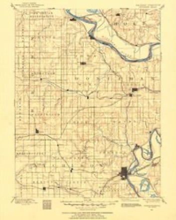
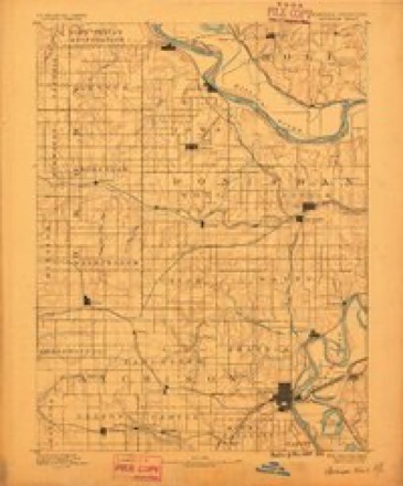
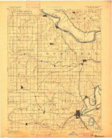
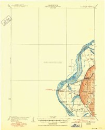
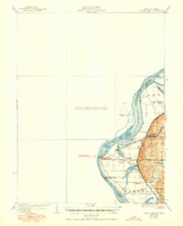
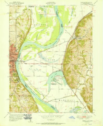
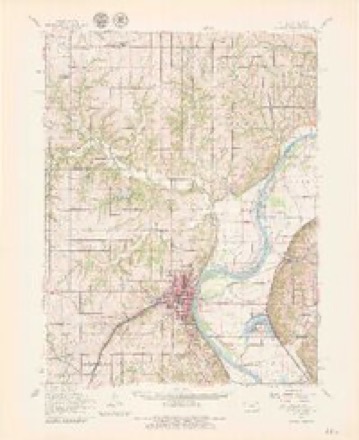
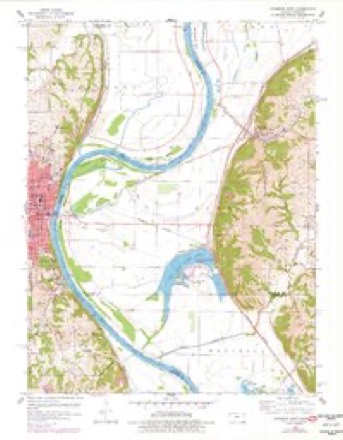
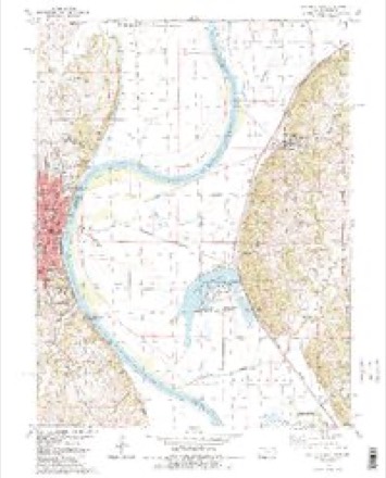
32 topographic sheets cover this place, the earliest surveyed in 1885 and the latest in 1990. It stands in Rush Township. It lies in ZIP code area 64484. The Survey maps it on the Atchison East quadrangle. It stands 794 feet above sea level.
Topographic sheets covering this place
15 surveys from 32 printed sheetsMatched by testing this settlement's coordinate against the published boundary of every sheet in the United States Geological Survey's historical collection. Each opens the scanned sheet at the Survey.
- 1885 USGS Atchison quadrangle1:125000
- 1888 USGS Atchison quadrangle1:125000
- 1893 USGS Atchison quadrangle1:125000, 5 printings
- 1926 USGS Atchison quadrangle1:62500
- 1926 USGS Sugar Lake quadrangle1:62500, 4 printings
- 1950 USGS Kansas City quadrangle1:250000
- 1951 USGS Rushville quadrangle1:24000, 2 printings
- 1954 USGS Kansas City quadrangle1:250000
- 1956 USGS Kansas City quadrangle1:250000, 4 printings
- 1960 USGS Atchison quadrangle1:62500, 2 printings
- 1960 USGS Atchison East quadrangle1:24000, 3 printings
- 1960 USGS Kansas City quadrangle1:250000, 3 printings
- 1984 USGS Atchison East quadrangle1:24000, 2 printings
- 1985 USGS Atchison quadrangle1:100000
- 1990 USGS Atchison quadrangle1:100000




In the county-history sources
5,625 words on this townshipThe History of Buchanan County, Missouri : Containing a History of the County, Its Cities, Towns, Etc., Biographical Sketches of Its Citizens, Buchanan County in the Late War, General and Local Statisics, Portraits of Early Settlers and Prominent Men, History of Missouri, Map of Buchanan County, Etc., Etc, published 1881 names this settlement in its chapter on Rush Township. These are the passages that mention it, exactly as the scans read.
Mayor of East Atchison, was born March 29, 1830, in Switzerland, and was there raised until eighteen years of age and received his education in schools of that land. In 1850 he crossed the ocean and landed at New Orleans, immediately coming up the Mississippi River to St. Louis and thence to St. Joseph. He remained here until 1861, engaged in the hotel business, and kept what is known as the St. Louis House, but met with a misfortune by being burned out. He then moved on a farm, and in 1863 commenced teaming across the plains to Denver and continued therein until the fall of 1864, when he moved to Winthrop (East Atchison.) Since that time he has been engaged in various occupations- He owns 350 acres of fine land in Platte County which is well improved, containing g<}pd buil^jngs, &c. Also owns a fine residence and other town property ; and holds the position of Mayor of East Atchison, which he fills with credit to himself and friends. He has been twice married, first, in 1855, to Miss Elizabeth Steineffer, a native of Switzerland. She died December 4, 1876, leaving five children living : Paulina, Elizabeth, Ferdinand, Rosena and LMlie. Lost four. Was again married July 7, 1878, to Mrs. Regina Vasse, a native of Germany. They have one child, Charlie. Mrs. R. has five children by her former husband : Henry, Carolina, Rosa, George and Elizabeth.
farmer, section 23, postoffice Rushville, was bom- in Warren County,. Kentucky, October 25, 181 5, and when eleven years of age his father moved to Lafayette County, Missouri, where he was raised and educated. He there remained till 1838, when he moved to Buchanan County, and has since been engaged in agricultural pursuits. His farm contains eighty acres comfortably improved. He acted as justice of the peace for twelve years. Mr. A. was married August 8, 1840, to Miss Dicy A. Trapp, who was born in Jackson County, Missouri, May 29, 1828. She died September 15, 1870, leaving twelve children, six of whom are living : Jasper C, Houston, Polly A., William, George W., and James. Mr. A. is a member of the Christian Church.
agent of the Kansas City, St. Joseph and Council Bluffs Railroad Company, East Atchison, was born in Prairie du Chien, Wisconsin, March II, 1842, and was there brought up, and attended school principally at the Racine College. His father, Gen. Brisbois, one of the leading and influential citizens of Prairie du Chien, held the position of postmaster, and Daniel assisted him with the business of that office. In 1865 he took a trip to the mountains and after about one year returned to his native city, there became engaged in railroading, steamboating and express business. In 1871 Mr. B. came to St. Joseph, Missouri, and accepted a position with the Hannibal and St. Joseph Railroad Company, continuing for two years, when he went to Atchison, Kansas. He worked for the Atchison, Topeka and Santa Fe Company for a time, then went to Marshalltown, Iowa, and was employed as chief clerk of the Central Railroad of Iowa. Coming to St. Joseph again, in the interest of the Kansas City road, he remained for three years, holding the position of cashier in the local office, a part of the time. He then took charge of the station at East Atchison (formerly Winthrop), with the Kansas City, St. Joseph and Council Bluffs Railway, which he is still filling. Mr. B. was married in the fall of 1861 to Miss Victoria H. Perret-Gentin, a native of Prairie du Chien, Wisconsin. They have had three children : Edgar G., Theressa J. and Sumner W. Mr. B. is a Knight Templar in the Masonic order, and Mrs. B. is a member of the Episcopal Church.
Machine-read from a century-old scan, so expect the errors a machine makes: misspelled names, dropped words, stray characters.
Read the whole chapter on Rush Township - it names this place 11 more 11 times.
Fires near this place
22 since 2005Regional context, not property-specific evidence. The federal wildfire occurrence database lists 22 fires within 5 miles of Winthrop between 2005 and 2018, burning about 238 acres in total. 1 started naturally. 6 were recorded as arson. Distance is straight-line from the map coordinates, so a fire counted here may appear on a neighbouring settlement's page as well.
| Reported cause | Fires |
|---|---|
| Missing data/not specified/undetermined | 8 |
| Arson/incendiarism | 6 |
| Debris and open burning | 4 |
| Smoking | 3 |
| Natural | 1 |
The most recent of them, most recent first, with the day each was reported and the service that recorded it.
| Date | Cause | Size | Reported by | Name on the report |
|---|---|---|---|---|
| 11 September 2015 | Arson/incendiarism | under an acre | Kansas Forest Service | 150750 |
| 8 August 2018 | Arson/incendiarism | under an acre | Kansas Forest Service | 180751 |
| 10 August 2008 | Missing data/not specified/undetermined | 1.0 acres | Atchison County | not named |
| 6 July 2018 | Smoking | under an acre | Kansas Forest Service | 180648 |
| 15 June 2017 | Arson/incendiarism | under an acre | Atchison County | 170536 |
| 13 May 2018 | Missing data/not specified/undetermined | under an acre | Kansas Forest Service | 180432 |
| 15 April 2008 | Arson/incendiarism | 1.0 acres | Atchison County | not named |
| 13 April 2018 | Arson/incendiarism | under an acre | Kansas Forest Service | 180317 |
Settlements close enough to share some of these fires:
Storms near this place
3 since 2009Regional context, not property-specific evidence. The National Weather Service names Winthrop in 3 storm reports between 2009 and 2022: 1 thunderstorm wind, 1 flood, 1 hail. The reports record 2 injuries. Each account below is quoted exactly as the forecast office filed it, from the NOAA Storm Events Database, and each date opens the federal record of that event.
| When | Event | Place named | Harm | What the report says |
|---|---|---|---|---|
| June 2009 | Thunderstorm Wind | Winthrop | 2 hurt, $1,000 | A fifth wheel camper was blown into another camper. |
| June 2019 | Flood | Winthrop | - | Heavy spring rains caused ongoing flooding along the Missouri River to Continue through the month. Some locations along the Missouri River experienced major flooding at times during the month. Damage estimates from roads washed out and crop damage are unknown at this time. |
| April 2022 | Hail | Winthrop | - | no account filed |
Nearest settlements
The eight closest, with where each one stands in the county. Distances are straight-line, computed from the Geographic Names Information System coordinates.
| Map | Place | Distance | Sheets |
|---|---|---|---|
| Sugar Lake | 2.9 miles | 32 | |
| Lewis and Clark Village | 3.1 miles | 32 | |
| Armour | 3.3 miles | 32 | |
| Rushville | 4.7 miles | 32 | |
| Halls | 8.7 miles | 18 | |
| De Kalb | 9.8 miles | 19 | |
| Kenmoor | 10.9 miles | 18 | |
| Mock Corner | 11.6 miles | 19 |
Elsewhere
Matched on this settlement's Geographic Names Information System number rather than its name, so it cannot be a different place of the same name in another state.
| Wikipedia article on Winthrop | An encyclopaedic summary. Its text is share-alike, so it is linked here rather than copied. |
| Wikidata item Q27984065 | The structured record the population and elevation above come from. Public domain (CC0). |
Provenance
This settlement is recorded in the Geographic Names Information System as feature 730252. The sheet list is computed by point-in-boundary test against the United States Geological Survey's historical topographic inventory. Both are works of the United States government and carry no copyright under 17 U.S.C. 105.
Wildfire. Short, Karen C. 2022. Spatial wildfire occurrence data for the United States, 1992-2020 [FPA_FOD_20221014]. 6th Edition. Fort Collins, CO: Forest Service Research Data Archive. https://doi.org/10.2737/RDS-2013-0009.6 Collected with United States Government funding and usable without additional permissions or fees.
Storms. NOAA National Centers for Environmental Information, Storm Events Database https://www.ncei.noaa.gov/stormevents/ A work of the United States government, no copyright under 17 U.S.C. 105. Narratives are quoted verbatim from the National Weather Service report and are not edited or summarised.