 Block
Rushville, Missouri
32 topographic sheets cover this place, the earliest surveyed in 1885 and the latest in 1990. It stands in Rush Township. It lies in ZIP code area 64484. It stands on Horseshoe Slough. The Survey maps it on the Atchison East quadrangle. 225 people lived here at the 2020 count. It stands 817 feet above sea level.
Research this city
On record in Rushville
Buildings and businesses the archive holds for this place. Each opens its own page, with the source record it came from.
On the National Register 2 records
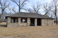 Sugar Lake State Park Open Shelterlisted 1985
- Enoch Madison Fenton Houselisted 1982
Population over time
2 figuresRushville fell from 303 to 225 between 2010 and 2020. These are the recorded population figures Wikidata holds for this place, reached through the Geographic Names Information System number this page is keyed on rather than by name, so they belong to this place and not to another of the same name. Most are census counts, but not all are: an early figure may be a founding or settlement estimate, and an estimate published within five years of a census is left out. The change column is computed, and is left blank where more than 20 years separate a figure from the one before it, because a gap that long is not a change between two counts.
| Year | People | Change |
|---|---|---|
| 2010 | 303 | |
| 2020 | 225 | -78 (-26%) |
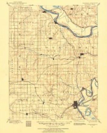
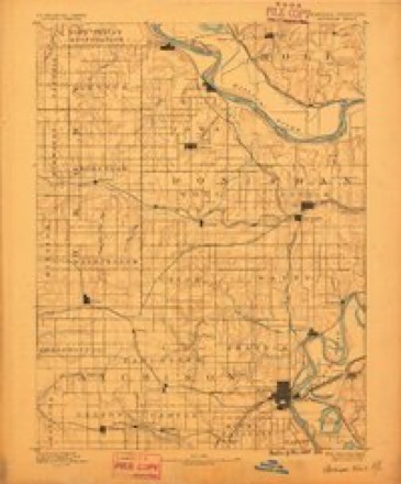
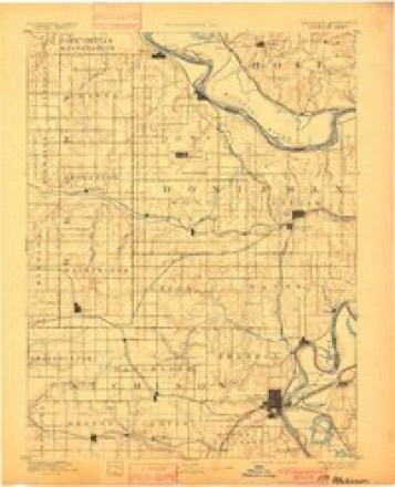
Topographic sheets covering this place
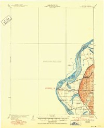
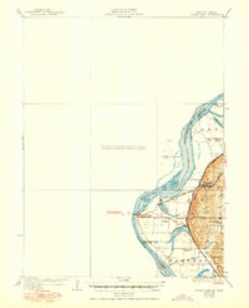
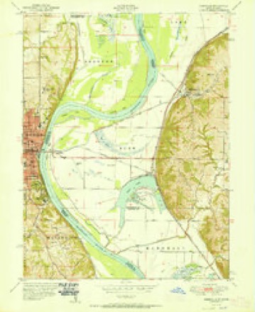
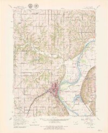
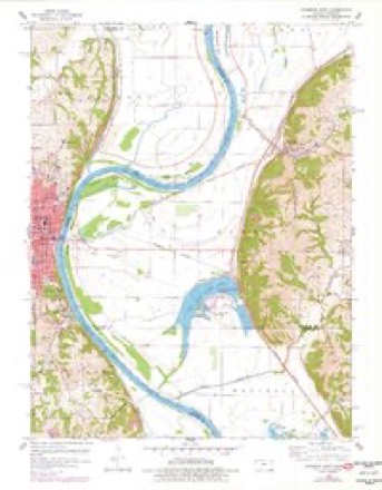
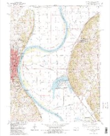
15 surveys from 32 printed sheetsMatched by testing this settlement's coordinate against the published boundary of every sheet in the United States Geological Survey's historical collection. Each opens the scanned sheet at the Survey.
- 1885 USGS Atchison quadrangle1:125000
- 1888 USGS Atchison quadrangle1:125000
- 1893 USGS Atchison quadrangle1:125000, 5 printings
- 1926 USGS Atchison quadrangle1:62500
- 1926 USGS Sugar Lake quadrangle1:62500, 4 printings
- 1950 USGS Kansas City quadrangle1:250000
- 1951 USGS Rushville quadrangle1:24000, 2 printings
- 1954 USGS Kansas City quadrangle1:250000
- 1956 USGS Kansas City quadrangle1:250000, 4 printings
- 1960 USGS Atchison quadrangle1:62500, 2 printings
- 1960 USGS Atchison East quadrangle1:24000, 3 printings
- 1960 USGS Kansas City quadrangle1:250000, 3 printings
- 1984 USGS Atchison East quadrangle1:24000, 2 printings
- 1985 USGS Atchison quadrangle1:100000
- 1990 USGS Atchison quadrangle1:100000




In the county-history sources
5,625 words on this townshipThe History of Buchanan County, Missouri : Containing a History of the County, Its Cities, Towns, Etc., Biographical Sketches of Its Citizens, Buchanan County in the Late War, General and Local Statisics, Portraits of Early Settlers and Prominent Men, History of Missouri, Map of Buchanan County, Etc., Etc, published 1881 names this settlement in its chapter on Rush Township. These are the passages that mention it, exactly as the scans read.
East Atchison, was bornjAugust 24, 1851, in Cleveland, Ohio, where he was reared and received'his education. Emigrated to Chicago in 1869, and engaged in the liquor business, and came from there to this place in 1879, where he has made his home, and taken an active part in the building up of the place. Assisted in organizing the town, and held the position of Mayor in 1880. Is an active member of the Knights of Honor. Was married May 24, 1873, to Miss Ellen Foot, a native of Chicago, and they have had two children - George and Gracie.
farmer, section 23, postoffice Rushville, was bom- in Warren County,. Kentucky, October 25, 181 5, and when eleven years of age his father moved to Lafayette County, Missouri, where he was raised and educated. He there remained till 1838, when he moved to Buchanan County, and has since been engaged in agricultural pursuits. His farm contains eighty acres comfortably improved. He acted as justice of the peace for twelve years. Mr. A. was married August 8, 1840, to Miss Dicy A. Trapp, who was born in Jackson County, Missouri, May 29, 1828. She died September 15, 1870, leaving twelve children, six of whom are living : Jasper C, Houston, Polly A., William, George W., and James. Mr. A. is a member of the Christian Church.
farmer, Rushville, was born in Fayette County, Missouri, in February,, 1833. In 1838 his parents moved to Buchanan County, Missouri, where he was raised and educated. He spent his boyhood days on a farm,, with the exception of four years, which time he was-- engaged in clerking in a store. Mr. A. is considered one of the most successful farmers of Buchanan County. During the late war he served six months in the State Militia. His farm contains 200 acres, eighty acres being situatedl in the bottom, and his home farm in sections 13 and 14. He was married December 16, 1855, to Miss Martha Eastburn. She was born and raised in Buchanan County. They have four children^,. Lloyd W., Elizabeth F., William F., and Anna E.
Machine-read from a century-old scan, so expect the errors a machine makes: misspelled names, dropped words, stray characters.
Read the whole chapter on Rush Township - it names this place 13 more 13 times.
Fires near this place
15 since 1997Regional context, not property-specific evidence. The federal wildfire occurrence database lists 15 fires within 5 miles of Rushville between 1997 and 2018, burning about 922 acres in total. None started naturally. 1 was recorded as arson. Distance is straight-line from the map coordinates, so a fire counted here may appear on a neighbouring settlement's page as well.
| Reported cause | Fires |
|---|---|
| Debris and open burning | 8 |
| Missing data/not specified/undetermined | 5 |
| Arson/incendiarism | 1 |
| Railroad operations and maintenance | 1 |
The most recent of them, most recent first, with the day each was reported and the service that recorded it.
| Date | Cause | Size | Reported by | Name on the report |
|---|---|---|---|---|
| 20 August 1999 | Missing data/not specified/undetermined | 500 acres | Missouri Department of Conservation | not named |
| 27 July 1999 | Railroad operations and maintenance | 2.0 acres | Missouri Department of Conservation | not named |
| 15 June 2017 | Arson/incendiarism | under an acre | Atchison County | 170536 |
| 15 June 2002 | Missing data/not specified/undetermined | 1.0 acres | Missouri Department of Conservation | not named |
| 19 April 1997 | Debris and open burning | 1.0 acres | Missouri Department of Conservation | not named |
| 12 April 2014 | Debris and open burning | 40 acres | Missouri Department of Conservation | not named |
| 9 March 2014 | Debris and open burning | 15 acres | Missouri Department of Conservation | not named |
| 9 March 2014 | Missing data/not specified/undetermined | 15 acres | Missouri Department of Conservation | not named |
Settlements close enough to share some of these fires:
Mines and quarries near this place
9 within 5 milesRegional context, not property-specific evidence. The federal mineral resources record lists 9 workings within 5 miles of Rushville: 9 past producers. None of them still produces. What was taken out: Stone, Crushed/Broken. Distance is straight-line from the map coordinates, so a quarry counted here may appear on a neighbouring settlement's page as well.
| Where | Site | Commodity | Status | Recorded |
|---|---|---|---|---|
| Mathews Quarry | Stone, Crushed/Broken | Past Producer | ||
| Steele Quarry | Stone, Crushed/Broken | Past Producer | ||
| Unknown | Stone, Crushed/Broken | Past Producer | ||
| Unknown | Stone, Crushed/Broken | Past Producer | ||
| Unknown | Stone, Crushed/Broken | Past Producer | ||
| Unknown Ls | Stone, Crushed/Broken | Past Producer | ||
| Unknown Ls | Stone, Crushed/Broken | Past Producer | ||
| Unknown Ls | Stone, Crushed/Broken | Past Producer | ||
| Unknown Ls | Stone, Crushed/Broken | Past Producer |
Storms near this place
10 since 2000Regional context, not property-specific evidence. The National Weather Service names Rushville in 10 storm reports between 2000 and 2025: 5 hail, 5 thunderstorm wind. No death or injury is recorded in these reports. Each account below is quoted exactly as the forecast office filed it, from the NOAA Storm Events Database, and each date opens the federal record of that event.
| When | Event | Place named | Harm | What the report says |
|---|---|---|---|---|
| March 2025 | Thunderstorm Wind | Rushville | - | Downed wires and numerous power outages between Rushville and De Kalb. |
| April 2022 | Thunderstorm Wind | Rushville | - | A detached garage was pushed off its foundation in Rushville. |
| April 2016 | Thunderstorm Wind | Rushville | - | A few power lines were down near Rushville. |
| July 2015 | Thunderstorm Wind | Rushville | - | A tree limb was blown down onto a car. The power was also knocked out. |
| June 2009 | Thunderstorm Wind | Rushville | - | Trees were reported to have been blown down. |
| May 2018 | Hail | Rushville | - | no account filed |
| May 2018 | Hail | Rushville | - | no account filed |
| May 2018 | Hail | Rushville | - | no account filed |
| May 2010 | Hail | Rushville | - | no account filed |
| May 2000 | Hail | Rushville | - | no account filed |
Nearest settlements
The eight closest, with where each one stands in the county. Distances are straight-line, computed from the Geographic Names Information System coordinates.
| Map | Place | Distance | Sheets |
|---|---|---|---|
| Armour | 2.8 miles | 32 | |
| Sugar Lake | 3.1 miles | 32 | |
| Lewis and Clark Village | 3.3 miles | 32 | |
| Halls | 4.3 miles | 18 | |
| Winthrop | 4.7 miles | 32 | |
| De Kalb | 5.3 miles | 19 | |
| Kenmoor | 6.4 miles | 18 | |
| Mock Corner | 8.0 miles | 19 |
Elsewhere
Matched on this settlement's Geographic Names Information System number rather than its name, so it cannot be a different place of the same name in another state.
| Wikipedia article on Rushville | An encyclopaedic summary. Its text is share-alike, so it is linked here rather than copied. |
| Wikidata item Q956326 | The structured record the population and elevation above come from. Public domain (CC0). |
Provenance
This settlement is recorded in the Geographic Names Information System as feature 730204. The sheet list is computed by point-in-boundary test against the United States Geological Survey's historical topographic inventory. Both are works of the United States government and carry no copyright under 17 U.S.C. 105.
Wildfire. Short, Karen C. 2022. Spatial wildfire occurrence data for the United States, 1992-2020 [FPA_FOD_20221014]. 6th Edition. Fort Collins, CO: Forest Service Research Data Archive. https://doi.org/10.2737/RDS-2013-0009.6 Collected with United States Government funding and usable without additional permissions or fees.
Mines and quarries. USGS Mineral Resources Data System (MRDS) https://mrdata.usgs.gov/mrds/ A work of the United States government, no copyright under 17 U.S.C. 105.
Storms. NOAA National Centers for Environmental Information, Storm Events Database https://www.ncei.noaa.gov/stormevents/ A work of the United States government, no copyright under 17 U.S.C. 105. Narratives are quoted verbatim from the National Weather Service report and are not edited or summarised.