 Block
Armour, Missouri
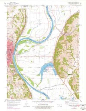
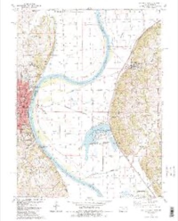
32 topographic sheets cover this place, the earliest surveyed in 1885 and the latest in 1990. It stands in Rush Township. It lies in ZIP code area 64484. The Survey maps it on the Atchison East quadrangle.
On record in Armour
Buildings and businesses the archive holds for this place. Each opens its own page, with the source record it came from.
On the National Register within a mile 1 record
The National Register names another town for these. They stand within one mile of this settlement's coordinate.
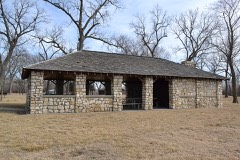 Sugar Lake State Park Open Shelterlisted 1985 · 1.0 miles away
Topographic sheets covering this place
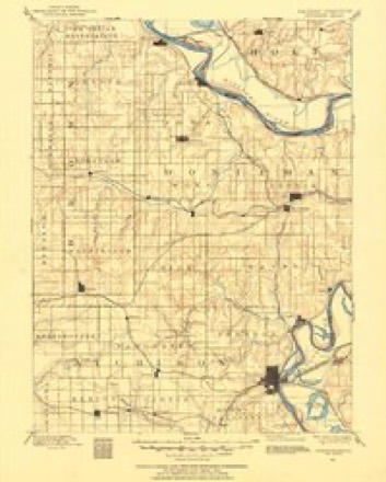
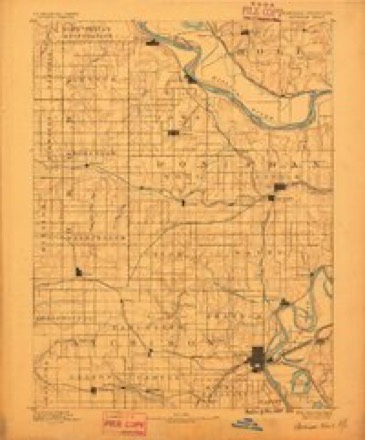
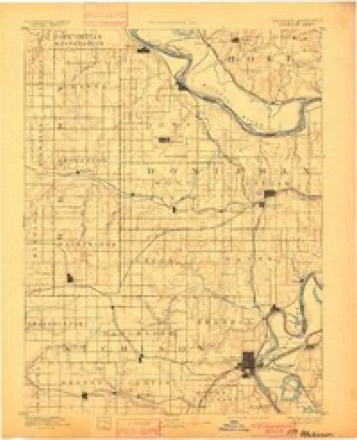
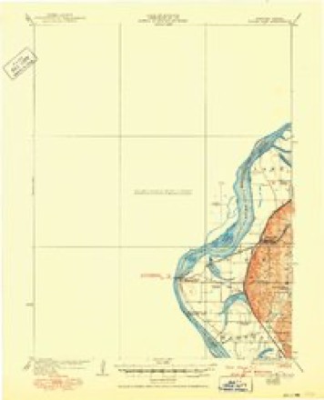
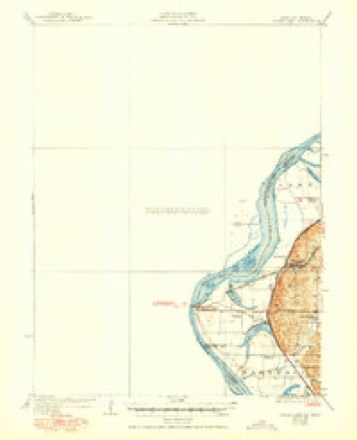
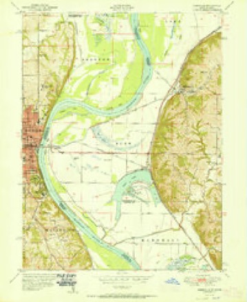
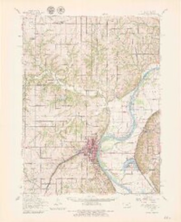
15 surveys from 32 printed sheetsMatched by testing this settlement's coordinate against the published boundary of every sheet in the United States Geological Survey's historical collection. Each opens the scanned sheet at the Survey.
- 1885 USGS Atchison quadrangle1:125000
- 1888 USGS Atchison quadrangle1:125000
- 1893 USGS Atchison quadrangle1:125000, 5 printings
- 1926 USGS Atchison quadrangle1:62500
- 1926 USGS Sugar Lake quadrangle1:62500, 4 printings
- 1950 USGS Kansas City quadrangle1:250000
- 1951 USGS Rushville quadrangle1:24000, 2 printings
- 1954 USGS Kansas City quadrangle1:250000
- 1956 USGS Kansas City quadrangle1:250000, 4 printings
- 1960 USGS Atchison quadrangle1:62500, 2 printings
- 1960 USGS Atchison East quadrangle1:24000, 3 printings
- 1960 USGS Kansas City quadrangle1:250000, 3 printings
- 1984 USGS Atchison East quadrangle1:24000, 2 printings
- 1985 USGS Atchison quadrangle1:100000
- 1990 USGS Atchison quadrangle1:100000




In the county-history sources
5,625 words on this townshipThe History of Buchanan County, Missouri : Containing a History of the County, Its Cities, Towns, Etc., Biographical Sketches of Its Citizens, Buchanan County in the Late War, General and Local Statisics, Portraits of Early Settlers and Prominent Men, History of Missouri, Map of Buchanan County, Etc., Etc, published 1881 names this settlement in its chapter on Rush Township. These are the passages that mention it, exactly as the scans read.
physician and surgeon, Rushville, was born in Schenectady County, New York, October i, 183 1, and was raised there and in the adjoining county on a farm, receiving his education in the common schools. In the spring of 1852 he emigrated to Linn County, Iowa, where he remained two years, engaged in clerking and studying medicine. He then went to Benton County, Iowa, and remained two years, engaged at the same occupation, and until 1868 he resided in Wright and Hancock Counties, being there engaged in the practice of his profession. He attended the American Medical College of Cincinnati, graduating in the spring of 1856. He was elected sheriff of Wright County, Iowa, and served two years, he also served four years as county supervisor of Hancock County. In 1868 Dr. C. went to America City, Kansas, and remained till 1873, when he moved to his present location. He was married March 25, 1855, to Miss Harriet E. Dolph, who was born in the State of New York, March 21, 1833. She died October 2, 1871. They had five children, four now living : Emma R., born February 26, 1856 ; Charles H., born December i, 1858, and died September i, 1859; Frank L., born June 19, 1861 ; Dora A., born February i, 1863, and Orval V., born May 28, 1865. He was again married December 27, 1872, to Miss Nancy Reede, Tjorn in Ohio, February 28, 1838. She died January 19,
Machine-read from a century-old scan, so expect the errors a machine makes: misspelled names, dropped words, stray characters.
Fires near this place
23 since 2002Regional context, not property-specific evidence. The federal wildfire occurrence database lists 23 fires within 5 miles of Armour between 2002 and 2018, burning about 1,079 acres in total. 1 started naturally. 6 were recorded as arson. Distance is straight-line from the map coordinates, so a fire counted here may appear on a neighbouring settlement's page as well.
| Reported cause | Fires |
|---|---|
| Missing data/not specified/undetermined | 11 |
| Arson/incendiarism | 6 |
| Debris and open burning | 4 |
| Smoking | 1 |
| Natural | 1 |
The most recent of them, most recent first, with the day each was reported and the service that recorded it.
| Date | Cause | Size | Reported by | Name on the report |
|---|---|---|---|---|
| 11 September 2015 | Arson/incendiarism | under an acre | Kansas Forest Service | 150750 |
| 10 August 2008 | Missing data/not specified/undetermined | 1.0 acres | Atchison County | not named |
| 6 July 2018 | Smoking | under an acre | Kansas Forest Service | 180648 |
| 15 June 2017 | Arson/incendiarism | under an acre | Atchison County | 170536 |
| 15 June 2002 | Missing data/not specified/undetermined | 1.0 acres | Missouri Department of Conservation | not named |
| 13 May 2018 | Missing data/not specified/undetermined | under an acre | Kansas Forest Service | 180432 |
| 17 April 2018 | Arson/incendiarism | 667 acres | Missouri Department of Conservation | 176765-00000-04172018-1710 |
| 15 April 2008 | Arson/incendiarism | 1.0 acres | Atchison County | not named |
Settlements close enough to share some of these fires:
Mines and quarries near this place
10 of 11 shownRegional context, not property-specific evidence. The federal mineral resources record lists 11 workings within 5 miles of Armour: 11 past producers. None of them still produces. What was taken out: Stone, Crushed/Broken. Distance is straight-line from the map coordinates, so a quarry counted here may appear on a neighbouring settlement's page as well.
| Where | Site | Commodity | Status | Recorded |
|---|---|---|---|---|
| Bramble Quarry | Stone, Crushed/Broken | Past Producer | ||
| Rose Quarry | Stone, Crushed/Broken | Past Producer | ||
| Steele Quarry | Stone, Crushed/Broken | Past Producer | ||
| Unknown | Stone, Crushed/Broken | Past Producer | ||
| Unknown | Stone, Crushed/Broken | Past Producer | ||
| Unknown Ls | Stone, Crushed/Broken | Past Producer | ||
| Unknown Ls | Stone, Crushed/Broken | Past Producer | ||
| Unknown Ls | Stone, Crushed/Broken | Past Producer | ||
| Unknown Ls | Stone, Crushed/Broken | Past Producer | ||
| Unknown Ls | Stone, Crushed/Broken | Past Producer |
Storms near this place
1 since 2014Regional context, not property-specific evidence. The National Weather Service names Armour in 1 storm report in 2014: 1 tornado. No death or injury is recorded in these reports. Each account below is quoted exactly as the forecast office filed it, from the NOAA Storm Events Database, and each date opens the federal record of that event.
| When | Event | Place named | Harm | What the report says |
|---|---|---|---|---|
| June 2014 | Tornado (EF0) | Armour | - | Weak and brief tornado was observed with no known damage reported. |
Nearest settlements
The eight closest, with where each one stands in the county. Distances are straight-line, computed from the Geographic Names Information System coordinates.
| Map | Place | Distance | Sheets |
|---|---|---|---|
| Sugar Lake | 0.4 miles | 32 | |
| Lewis and Clark Village | 0.5 miles | 32 | |
| Rushville | 2.8 miles | 32 | |
| Winthrop | 3.3 miles | 32 | |
| De Kalb | 6.9 miles | 19 | |
| Halls | 7.0 miles | 18 | |
| Mock Corner | 8.3 miles | 19 | |
| Kenmoor | 9.0 miles | 18 |
Provenance
This settlement is recorded in the Geographic Names Information System as feature 739975. The sheet list is computed by point-in-boundary test against the United States Geological Survey's historical topographic inventory. Both are works of the United States government and carry no copyright under 17 U.S.C. 105.
Wildfire. Short, Karen C. 2022. Spatial wildfire occurrence data for the United States, 1992-2020 [FPA_FOD_20221014]. 6th Edition. Fort Collins, CO: Forest Service Research Data Archive. https://doi.org/10.2737/RDS-2013-0009.6 Collected with United States Government funding and usable without additional permissions or fees.
Mines and quarries. USGS Mineral Resources Data System (MRDS) https://mrdata.usgs.gov/mrds/ A work of the United States government, no copyright under 17 U.S.C. 105.
Storms. NOAA National Centers for Environmental Information, Storm Events Database https://www.ncei.noaa.gov/stormevents/ A work of the United States government, no copyright under 17 U.S.C. 105. Narratives are quoted verbatim from the National Weather Service report and are not edited or summarised.