 Block
Wood River, Nebraska
15 topographic sheets cover this place, the earliest surveyed in 1895 and the latest in 1985. It stands in Wood River Township. It lies in ZIP code area 68883. The Survey maps it on the Wood River quadrangle. 1,172 people lived here at the 2020 count. It stands 1,965 feet above sea level.
On record in Wood River
Buildings and businesses the archive holds for this place. Each opens its own page, with the source record it came from.
On the National Register 1 record
 Gloe Brothers Service Stationlisted 2000
Population over time
2 figuresWood River fell from 1,325 to 1,172 between 2010 and 2020. These are the recorded population figures Wikidata holds for this place, reached through the Geographic Names Information System number this page is keyed on rather than by name, so they belong to this place and not to another of the same name. Most are census counts, but not all are: an early figure may be a founding or settlement estimate, and an estimate published within five years of a census is left out. The change column is computed, and is left blank where more than 20 years separate a figure from the one before it, because a gap that long is not a change between two counts.
| Year | People | Change |
|---|---|---|
| 2010 | 1,325 | |
| 2020 | 1,172 | -153 (-12%) |
Topographic sheets covering this place
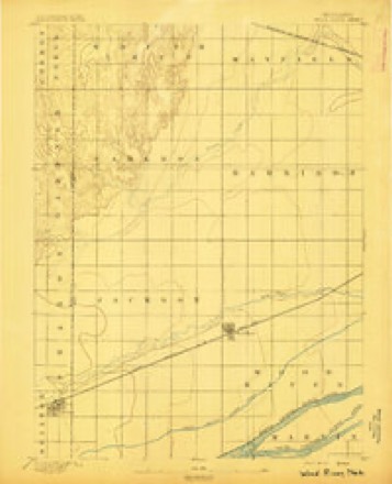
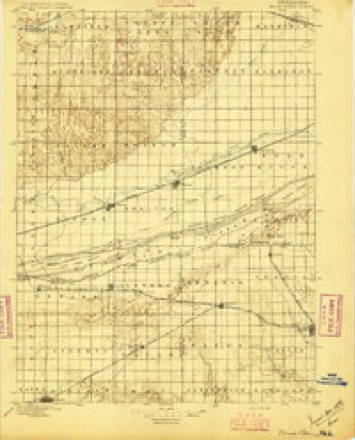
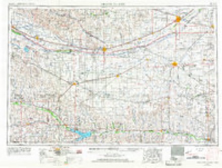
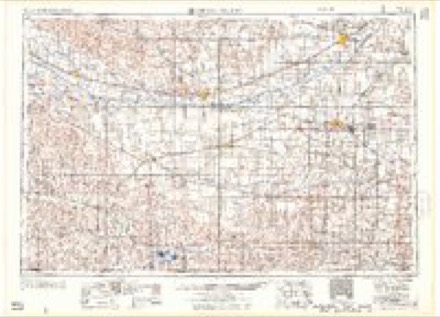
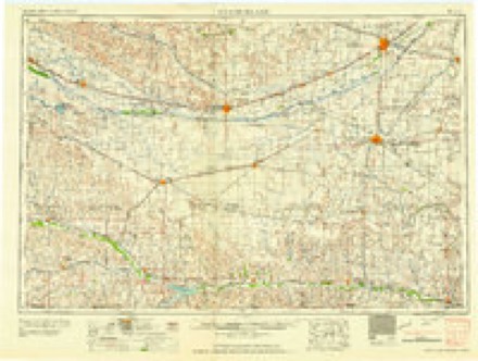
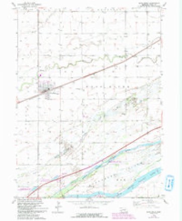
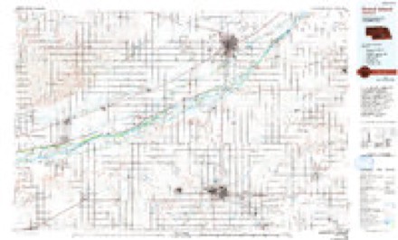
7 surveys from 15 printed sheetsMatched by testing this settlement's coordinate against the published boundary of every sheet in the United States Geological Survey's historical collection. Each opens the scanned sheet at the Survey.
- 1895 USGS Wood River quadrangle1:62500
- 1896 USGS Wood River quadrangle1:125000, 4 printings
- 1955 USGS Grand Island quadrangle1:250000, 3 printings
- 1957 USGS Grand Island quadrangle1:250000
- 1958 USGS Grand Island quadrangle1:250000
- 1962 USGS Wood River quadrangle1:24000, 3 printings
- 1985 USGS Grand Island quadrangle1:100000, 2 printings
In the county-history sources
2,527 words on this townshipHistory of Hall County, Nebraska; a Narrative of the Past with Special Emphasis Upon the Pioneer Period of the County's History, and Chronological Presentation of Its Social, Commercial, Educational, Religious, and Civic Development from the Early Days to the Present Time, and Special Analysis of Its Military and Civil Participation in the Late World War, published 1920 names this settlement in its chapter on Wood River Township. These are the passages that mention it, exactly as the scans read.
The community of Wood River, lying partly in Wood River and partly in Jackson township commands a very lage trade area. The greater portion of both these townships, and a larger portion of Harrison and Cameron on the west, are included in the natural trade territory of Wood River. Therefore the commercial history of Wood River is an important factor in the commercial history of Hall County.
The establishment of the first general stores has been somewhat touched upon by Mr. Quackenbush in his early history of the village of Wood River, in a preceding chapter. At Old Wood River station, James Jackson and A. A. Baker were the first merchants. In the present Wood River, James Jackson brought over the first store. James White, A. G. Hollister, John Roach, William L. G. Trapp, and F. Scwartz were early merchants. The Roach store and the Trapp store opened in 1879. N. T. Brittin purchased the HoUister store in 1880. In 1884 this business was purchased by T. J. Dunn. Stoddard Brothers were in business a short time during the 'eighties. Thos. Langan had a business also during the 'eighties. F. M. Penney came to Wood River in 1886 and engaged in the general merchandise business, and remained in that business until 1893.
W. W. Mitchell engaged in the general merchandise business in Wood River in 1889, and continued for twenty years, when he sold out to A. E. Rogers who continued the business for a short time when the stock was bought by Frank Fulton. He conducted the business for several years, closing out the stock and going out of business in 1913. Mr. Mitchell has been one of the leading builders of the Wood River community in many ways. He was born in Muskingum County, Ohio, May 2, 1846, and in that state he made his home until 1860 when he went to Michigan and engaged in the lumber business until 1864. He joined the federal navy and served on a gunboat in the squadron under Admiral Farragut. In 1871 he came to Hall County and took up a soldier's homestead nearj^lda. In 1873 he opened a store in Alda and bought grain and sold farming machinery. He fl^s one of the pioneer builders of the town of Alda. In 1887 he came to Wood River, bought the elevator, and engaged in the grain business, and he also continued his business at Alda. In 1889 he engaged in the general merchandise business in Wood River. He built a brick store, with basement, fine plate glass front, 2,500 running feet of shelving, 600 feet of counters and ample show cases. Since 1894 he has been president of the Citizens State Bank, and though he now makes his home in Omaha he is much in Wood River, with the same consistent interests of Wood River at heart.
Machine-read from a century-old scan, so expect the errors a machine makes: misspelled names, dropped words, stray characters.
Read the whole chapter on Wood River Township - it names this place 13 more 13 times.
Fires near this place
7 since 1996Regional context, not property-specific evidence. The federal wildfire occurrence database lists 7 fires within 5 miles of Wood River between 1996 and 2020, burning about 79 acres in total. None started naturally. None was recorded as arson. Distance is straight-line from the map coordinates, so a fire counted here may appear on a neighbouring settlement's page as well.
| Reported cause | Fires |
|---|---|
| Debris and open burning | 3 |
| Missing data/not specified/undetermined | 2 |
| Smoking | 1 |
| Railroad operations and maintenance | 1 |
The most recent of them, most recent first, with the day each was reported and the service that recorded it.
| Date | Cause | Size | Reported by | Name on the report |
|---|---|---|---|---|
| 8 June 2007 | Railroad operations and maintenance | 1.0 acres | Nebraska Forest Service | not named |
| 11 June 2007 | Missing data/not specified/undetermined | under an acre | Nebraska Forest Service | not named |
| 3 May 1996 | Smoking | under an acre | Rainwater Basin Wetland Management District | HANNON |
| 17 May 2019 | Debris and open burning | 38 acres | Nebraska Forest Service | not named |
| 16 May 2019 | Debris and open burning | 38 acres | Nebraska Forest Service | not named |
| 29 March 2009 | Missing data/not specified/undetermined | 1.0 acres | Nebraska Forest Service | not named |
| 24 March 2020 | Debris and open burning | under an acre | Nebraska Forest Service | not named |
Settlements close enough to share some of these fires:
Storms near this place
60 of 77 shownRegional context, not property-specific evidence. The National Weather Service names Wood River in 77 storm reports between 1995 and 2025: 31 hail, 29 thunderstorm wind, 6 flood, 5 tornado. No death or injury is recorded in these reports. Each account below is quoted exactly as the forecast office filed it, from the NOAA Storm Events Database, and each date opens the federal record of that event.
| When | Event | Place named | Harm | What the report says |
|---|---|---|---|---|
| April 2024 | Thunderstorm Wind | Wood River | $1,800,000 | Emergency management reported tree and fencing damage across town, damage to the local ethanol plant, and at least a dozen irrigation pivots damaged north of town. |
| May 2024 | Hail | Wood River | $1,500,000 | Hail up to two inches in diameter was reported in and around Wood River. Shredded trees were reported in town, along with dented cars, broken windows, and damaged shingles. |
| June 2022 | Hail | Wood River | $1,000,000 | Hail up to two inches in diameter was reported in and around Wood River. |
| July 2021 | Thunderstorm Wind | Wood River | $500,000 | The peak measured wind gust was 84 MPH, recorded at 10:30 PM CDT by the Central Nebraska Regional Airport at Grand Island ASOS. Other measured wind gusts included 66 MPH at 10:34 PM CDT by a mesonet station located one mile northwest of Wood River and 63 MPH at 10:41 PM CDT by a mesonet station located four miles west-southwest of Wood River. County dispatch and broadcast media reported widespread tree damage across the county, including large healthy trees downed, with multiple power poles snapped and power lines downed. Underpasses in Grand Island were briefly impassible due to heavy rainfall. |
| June 2024 | Hail | Wood River | $400,000 | Hail up to quarter size hail was reported, likely accompanied by wind gusts near 50 MPH. Crops in the area were severely damaged. |
| May 2012 | Thunderstorm Wind | Wood River | $350,000 | Numerous irrigation pivots were overturned along an approximately 6 mile long path from Wood River south to near Interstate 80. In Wood River, large trees were damaged or destroyed and power poles were knocked down. Heavy rain from these thunderstorms resulted in the intersection of 140th and Holling Roads, just south of town, being covered in water. |
| June 2022 | Thunderstorm Wind | Wood River | $300,000 | A wind gust of 70 MPH was measured by a mesonet station located four miles west-southwest of Wood River. A storm chaser reported a flipped irrigation pivot along Highway 30 approximately three miles west-southwest of Wood River. |
| June 2006 | Hail | Wood River | $200,000 | no account filed |
| June 2009 | Hail | Wood River | $150,000 | Golf ball hail reported with a depth of 2 inches at times. |
| May 2005 | Tornado (F0) | Wood River | $125,000 | A brief tornado hit a house on the south side of Wood River. |
| May 2020 | Flash Flood | Wood River | $100,000 | Radar estimates depicted an area of approximately 4 to 8 inches of rain fell in a very concentrated area across far southwestern portions of Hall County and far northwestern portions of Adams County. Numerous rural roads were covered in water and impassable for a period of time. At least 19 roads were marked with barricades and at least 1 culvert was lost. A number of roads were washed out pretty well, materials like dirt, crushed concrete and gravel were needed for repairs. |
| May 1999 | Tornado (F1) | Wood River | $100,000 | no account filed |
| July 2021 | Thunderstorm Wind | Wood River | $50,000 | Wind gusts of at least 65 MPH resulted in a semi truck being blown over on the westbound lane of Interstate 80 approximately three miles west of the Alda exit. The driver was taken to the hospital with non-life threatening injuries. |
| May 2005 | Hail | Wood River | $50,000 | no account filed |
| June 2014 | Thunderstorm Wind | Wood River | $35,000 | A thunderstorm wind gust was measured at 76 mph. |
| July 2011 | Thunderstorm Wind | Wood River | $25,000 | Tree damage was reported across Wood River, and crop damage was also reported north of town. |
| May 2008 | Tornado (EF0) | Wood River | $25,000 | This tornado entered Hall County from Buffalo County. The tornado caused mainly crop, power pole and tree damage as it roped out in western Hall County. |
| May 2015 | Flood | Wood River | $25,000 | no account filed |
| June 2015 | Flood | Wood River | $25,000 | no account filed |
| August 2014 | Thunderstorm Wind | Wood River | $25,000 | no account filed |
| May 2008 | Thunderstorm Wind | Wood River | $25,000 | no account filed |
| October 2013 | Flood | Wood River | $15,000 | no account filed |
| June 2010 | Flash Flood | Wood River | $10,000 | no account filed |
| June 2008 | Flash Flood | Wood River | $10,000 | no account filed |
| September 2006 | Thunderstorm Wind | Wood River | $10,000 | no account filed |
| June 1995 | Hail | Wood River | $10,000 | no account filed |
| September 2013 | Flood | Wood River | $5,000 | no account filed |
| May 2006 | Thunderstorm Wind | Wood River | $5,000 | no account filed |
| May 2000 | Thunderstorm Wind | Wood River | $5,000 | no account filed |
| June 2008 | Hail | Wood River | $2,000 | no account filed |
| May 2008 | Hail | Wood River | $2,000 | no account filed |
| May 2025 | Thunderstorm Wind | Wood River | - | A wind gust of 61 MPH was measured by a mesonet station located four miles west-southwest of Wood River. |
| May 2025 | Thunderstorm Wind | Wood River | - | A wind gust of 58 MPH was measured by a mesonet station located one mile west-southwest of Wood River. |
| June 2024 | Thunderstorm Wind | Wood River | - | A wind gust of 58 MPH was measured by a mesonet station located one mile north of Wood River. |
| April 2022 | Thunderstorm Wind | Wood River | - | A wind gust of 72 MPH was measured by a mesonet station located four miles west-southwest of Wood River. |
| April 2022 | Thunderstorm Wind | Wood River | - | Wind gusts were estimated to be near 60 MPH. |
| July 2020 | Thunderstorm Wind | Wood River | - | Wind gusts were estimated to be near 60 MPH. |
| August 2019 | Thunderstorm Wind | Wood River | - | Wind gusts estimated to be near 80 MPH resulted in damage in the area. A 150-year old black walnut tree fell on two vehicles and a large hackberry tree was snapped in half. Roof damage was reported at an area home. Extensive damage was done to crops and power lines were downed. |
| May 2018 | Heavy Rain | Wood River | - | Storm total precipitation of 3.10 inches was measured by a mesonet site located 3 miles west-northwest of Wood River. |
| June 2015 | Thunderstorm Wind | Wood River | - | Wind gusts were estimated to be near 60 MPH. |
| April 2014 | Thunderstorm Wind | Wood River | - | A 62 mph wind gust occurred from a severe thunderstorm. |
| August 2014 | Thunderstorm Wind | Wood River | - | Wind gusts were estimated to be near 60 MPH. |
| May 2013 | Heavy Rain | Wood River | - | A storm total rainfall of 3.63 inches was reported by a Nebraska Rainfall Assessment and Information Network Observer. |
| June 2013 | Thunderstorm Wind | Wood River | - | This wind gust occurred due to an overnight heat burst. |
| May 2005 | Tornado (F0) | Wood River | - | A brief tornado was reported by an off duty NWS employee and trained spotters 5 miles north of Wood River. No damage was noted. |
| April 2025 | Hail | Wood River | - | no account filed |
| June 2024 | Hail | Wood River | - | no account filed |
| May 2024 | Hail | Wood River | - | no account filed |
| July 2020 | Thunderstorm Wind | Wood River | - | no account filed |
| June 2020 | Hail | Wood River | - | no account filed |
| March 2019 | Flood | Wood River | - | no account filed |
| April 2019 | Hail | Wood River | - | no account filed |
| April 2019 | Hail | Wood River | - | no account filed |
| April 2015 | Hail | Wood River | - | no account filed |
| June 2014 | Thunderstorm Wind | Wood River | - | no account filed |
| August 2014 | Thunderstorm Wind | Wood River | - | no account filed |
| May 2013 | Hail | Wood River | - | no account filed |
| May 2013 | Hail | Wood River | - | no account filed |
| May 2013 | Hail | Wood River | - | no account filed |
| May 2012 | Hail | Wood River | - | no account filed |
Nearest settlements
The eight closest, with where each one stands in the county. Distances are straight-line, computed from the Geographic Names Information System coordinates.
Elsewhere
Matched on this settlement's Geographic Names Information System number rather than its name, so it cannot be a different place of the same name in another state.
| Wikipedia article on Wood River | An encyclopaedic summary. Its text is share-alike, so it is linked here rather than copied. |
| Wikidata item Q960746 | The structured record the population and elevation above come from. Public domain (CC0). |
Provenance
This settlement is recorded in the Geographic Names Information System as feature 834860. The sheet list is computed by point-in-boundary test against the United States Geological Survey's historical topographic inventory. Both are works of the United States government and carry no copyright under 17 U.S.C. 105.
Wildfire. Short, Karen C. 2022. Spatial wildfire occurrence data for the United States, 1992-2020 [FPA_FOD_20221014]. 6th Edition. Fort Collins, CO: Forest Service Research Data Archive. https://doi.org/10.2737/RDS-2013-0009.6 Collected with United States Government funding and usable without additional permissions or fees.
Storms. NOAA National Centers for Environmental Information, Storm Events Database https://www.ncei.noaa.gov/stormevents/ A work of the United States government, no copyright under 17 U.S.C. 105. Narratives are quoted verbatim from the National Weather Service report and are not edited or summarised.