 Block
Rockford, Nebraska
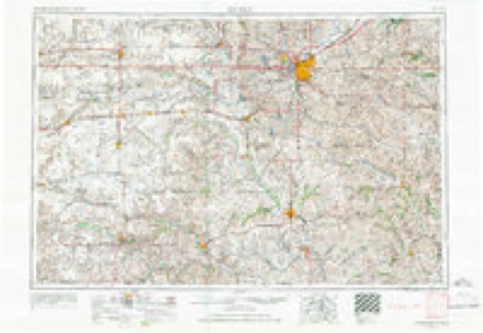
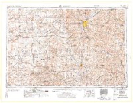
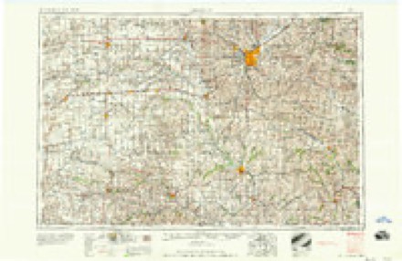
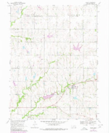
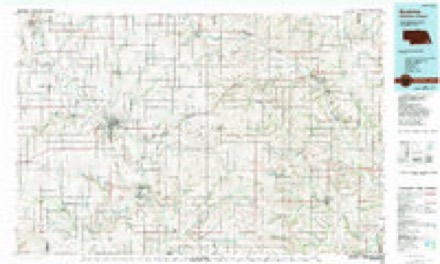
11 topographic sheets cover this place, the earliest surveyed in 1955 and the latest in 1986. It stands in Rockford Township. It lies in ZIP code area 68310. The Survey maps it on the Filley quadrangle. It stands 1,339 feet above sea level.
Topographic sheets covering this place
5 surveys from 11 printed sheetsMatched by testing this settlement's coordinate against the published boundary of every sheet in the United States Geological Survey's historical collection. Each opens the scanned sheet at the Survey.
- 1955 USGS Lincoln quadrangle1:250000, 5 printings
- 1957 USGS Lincoln quadrangle1:250000
- 1958 USGS Lincoln quadrangle1:250000
- 1970 USGS Filley quadrangle1:24000, 2 printings
- 1986 USGS Beatrice quadrangle1:100000, 2 printings
In the county-history sources
1,520 words on this townshipHistory of Gage County, Nebraska; a Narrative of the Past, with Special Emphasis Upon the Pioneer Period of the County's History, Its Social, Commercial, Educational, Religious, and Civic Development from the Early Days to the Present Time, published 1918 names this settlement in its chapter on Rockford Township. These are the passages that mention it, exactly as the scans read.
Rockford is located in section 1 of Rockford township and is the first station east oi Beatrice on both the Burlington and the Rock: Island Railroads. It is in one of the oldestsettled portions of the county and has fifty-six. inhabitants. It was founded by William Girl more than a quarter of a century ago and hasslowly grown to a position of great usefulness as a social and business center of Rockford, Lincoln, Hanover, and parts of Sherman and Filley townships. Though not boastful it isa good little village and there are those yet living who love it because of early associationsand the memories its name invokes.
Passage source: History of Gage County, Nebraska; a Narrative of the Past, with Special Emphasis Upon the Pioneer Period of the County's History, Its Social, Commercial, Educational, Religious, and Civic Development from the Early Days to the Present Time, published 1918.
Rockford has a general store, postoffice, two elevators, blacksmith shop and a very pretty church building, the property of the Methodist Episcopal denomination. Rockford school district No. 49 was organized at the home of Morgan Reed, upon notice to John Dunn, May 27, 1872. A few years ago it was consolidated with the F. H. Dobbs school district on the south and the T. B. Essex school district on the north, and it retains its original number, 49. A few years ago the consolidated district erected a fine three-room school house, at a cost of about $5,000. It employs three teachers and has an enrollment of about ninety pupils. In addition to the grades, it offers a two years' high-school course of study.
Passage source: History of Gage County, Nebraska; a Narrative of the Past, with Special Emphasis Upon the Pioneer Period of the County's History, Its Social, Commercial, Educational, Religious, and Civic Development from the Early Days to the Present Time, published 1918.
No locality in Gage county possesses greater rural charm than that where Rockford is situated. Cedar creek and both branches of Mud creek flow through the township into the Big Blue river. They are all well timbered streams of living water. From every height of land the observer is rewarded by a most beautiful landscape of hill, dale, valley, forest, and in the growing season of the year by vistas of living green; and in the autumn by stretches of gold and brown. No other place in the county exerts as lasting an influence over the heart as the environment of the humble village of Rockford.
Passage source: History of Gage County, Nebraska; a Narrative of the Past, with Special Emphasis Upon the Pioneer Period of the County's History, Its Social, Commercial, Educational, Religious, and Civic Development from the Early Days to the Present Time, published 1918.
Machine-read from a century-old scan, so expect the errors a machine makes: misspelled names, dropped words, stray characters.
Read the whole chapter on Rockford Township - it names this place 3 more 3 times.
Fires near this place
26 since 2007Regional context, not property-specific evidence. The federal wildfire occurrence database lists 26 fires within 5 miles of Rockford between 2007 and 2017, burning about 461 acres in total. None started naturally. None was recorded as arson. Distance is straight-line from the map coordinates, so a fire counted here may appear on a neighbouring settlement's page as well.
| Reported cause | Fires |
|---|---|
| Debris and open burning | 16 |
| Equipment and vehicle use | 4 |
| Power generation/transmission/distribution | 3 |
| Missing data/not specified/undetermined | 2 |
| Fireworks | 1 |
The most recent of them, most recent first, with the day each was reported and the service that recorded it.
| Date | Cause | Size | Reported by | Name on the report |
|---|---|---|---|---|
| 27 August 2011 | Power generation/transmission/distribution | under an acre | Nebraska Forest Service | not named |
| 7 July 2012 | Equipment and vehicle use | 2.0 acres | Nebraska Forest Service | not named |
| 4 July 2012 | Fireworks | under an acre | Nebraska Forest Service | not named |
| 24 July 2014 | Equipment and vehicle use | 5.0 acres | Nebraska Forest Service | not named |
| 26 May 2009 | Debris and open burning | under an acre | Nebraska Forest Service | not named |
| 2 May 2017 | Power generation/transmission/distribution | 2.0 acres | Nebraska Forest Service | not named |
| 4 April 2009 | Power generation/transmission/distribution | 1.0 acres | Nebraska Forest Service | not named |
| 3 April 2009 | Debris and open burning | 3.0 acres | Nebraska Forest Service | not named |
Settlements close enough to share some of these fires:
Storms near this place
5 since 1998Regional context, not property-specific evidence. The National Weather Service names Rockford in 5 storm reports between 1998 and 2025: 2 thunderstorm wind, 2 hail, 1 heavy rain. No death or injury is recorded in these reports. Each account below is quoted exactly as the forecast office filed it, from the NOAA Storm Events Database, and each date opens the federal record of that event.
| When | Event | Place named | Harm | What the report says |
|---|---|---|---|---|
| May 1998 | Thunderstorm Wind | Rockford | $100,000 | Several silos knocked over. |
| July 2025 | Heavy Rain | Rockford | - | Public report of 3.60 inches of rainfall with rain still ongoing. |
| May 2023 | Thunderstorm Wind | Rockford | - | A public personal weather station measured a peak wind gust of 72 mph. |
| August 2023 | Hail | Rockford | - | Public reported 1-inch hail. |
| April 2009 | Hail | Rockford | - | no account filed |
Nearest settlements
The eight closest, with where each one stands in the county. Distances are straight-line, computed from the Geographic Names Information System coordinates.
| Map | Place | Distance | Sheets |
|---|---|---|---|
| Filley | 4.2 miles | 11 | |
| Holmesville | 4.6 miles | 10 | |
| Virginia | 5.5 miles | 10 | |
| Beatrice | 7.9 miles | 11 | |
| Blue Springs | 8.3 miles | 10 | |
| Glenover | 8.5 miles | 11 | |
| Wymore | 9.5 miles | 10 | |
| Pickrell | 11.1 miles | 10 |
Elsewhere
Matched on this settlement's Geographic Names Information System number rather than its name, so it cannot be a different place of the same name in another state.
| Wikipedia article on Rockford | An encyclopaedic summary. Its text is share-alike, so it is linked here rather than copied. |
| Wikidata item Q17560869 | The structured record the population and elevation above come from. Public domain (CC0). |
Provenance
This settlement is recorded in the Geographic Names Information System as feature 832652. The sheet list is computed by point-in-boundary test against the United States Geological Survey's historical topographic inventory. Both are works of the United States government and carry no copyright under 17 U.S.C. 105.
Wildfire. Short, Karen C. 2022. Spatial wildfire occurrence data for the United States, 1992-2020 [FPA_FOD_20221014]. 6th Edition. Fort Collins, CO: Forest Service Research Data Archive. https://doi.org/10.2737/RDS-2013-0009.6 Collected with United States Government funding and usable without additional permissions or fees.
Storms. NOAA National Centers for Environmental Information, Storm Events Database https://www.ncei.noaa.gov/stormevents/ A work of the United States government, no copyright under 17 U.S.C. 105. Narratives are quoted verbatim from the National Weather Service report and are not edited or summarised.